


Why visit Hohenhameln
Townapedia lists 14 museums and landmarks, 11 parks and trails, 36 places to eat, 1 place to stay and 2 attractions in and around town.
Highlights include Heimatmuseum, Heimatmuseum, Wätzumer Tonkuhle and Rethmar Golf.
Weather in Hohenhameln
Forecast from MET Norway (CC BY 4.0). Full forecast
About Hohenhameln
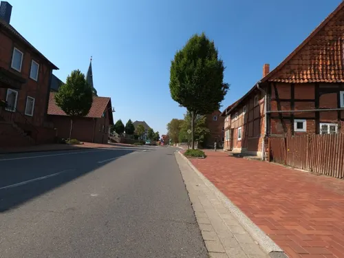
Hohenhameln (German pronunciation: [ˌhoːənˈhaːml̩n]) is a municipality in the district of Peine, in Lower Saxony, Germany. It is situated approximately 15 km southwest of Peine, 15 km northeast of Hildesheim and 25 km southeast of Hanover.
From the Wikipedia article Hohenhameln (this version), under CC BY-SA 4.0.
Things to do2

Museums and landmarks14


Rittergut Equord
Monument and historic site · 5.1 km
Besichtigungen nur nach Absprache
10 Lindenstraße, Hohenhameln
Tüppchenbrunnen
Monument and historic site · 3.1 km
Ehem. Brunnen mit Schwengelpumpe wenn bis 1956/57 die ortseigene Wasserversorgung versiegt ist
Denkmal zu Ehren der Gefallenen im 1. Weltkrieg
Monument and historic site · 6.9 km
2 more on the map.
Parks, trails and playgrounds11





Restaurants and cafes36

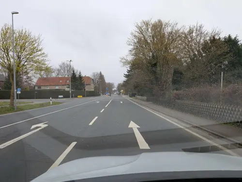
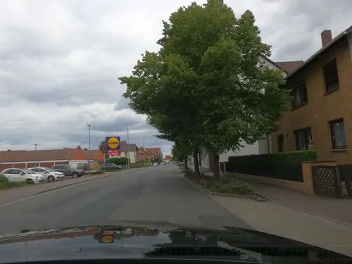
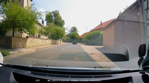
Melograno Restaurant & Eiscafé
Restaurant · Ice Cream
15 Clauener Straße, Hohenhameln
Tu-Fr 17:00-21:00; Sa 14:00-21:00; Su 12:00-21:00
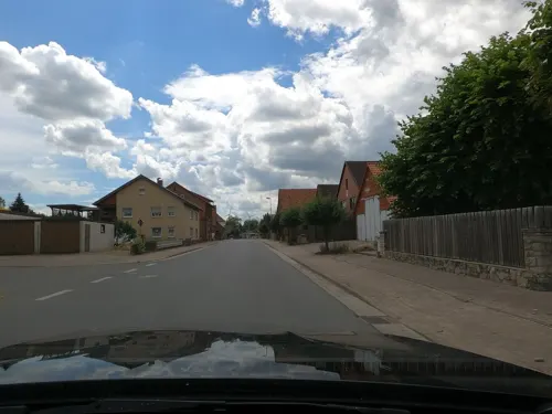
Landgasthaus Willke
Restaurant · German · 6.8 km
1 Am Hohen Turm, Harsum
Mo-Sa 17:00-24:00; Tu off; Su 11:00-14:00,17:00-24:00
Gasthaus Wöhleke
Bar and pub · 3.9 km
27 Leineweberstraße, Algermissen
Tu,Fr-Su 17:00-23:00
Engelke
Bakery · 6.1 km
27;31 Marktstraße, Algermissen
Mo-Fr 05:30-18:00, Sa 05:30-13:00, Su 07:00-16:00


24 more on the map.
Where to stay1
Churches and places of worship30
Sankt Matthias
Church · Roman Catholic · 6.4 km
29 Matthiasstraße, Harsum
Shopping9
Gas and EV charging4
Schools, colleges and libraries9
Healthcare3
Map of Hohenhameln
119 places. The map loads OpenStreetMap tiles when you open it.
Getting there and nearby towns
Forschungsflughafen Braunschweig-Wolfsburg (BWE) is the nearest airport with scheduled flights listed in OpenStreetMap, 34 km away.
- Harsum 9 km southwest, about 9 min by car
- Schellerten 8 km south, about 8 min by car
- Sehnde 9 km northwest, about 9 min by car
- Ilsede 9 km east, about 9 min by car
- Peine 14 km northeast, about 14 min by car
- Hildesheim 14 km southwest, about 14 min by car
- Lehrte 14 km northwest, about 14 min by car
- Söhlde 14 km southeast, about 14 min by car
- Sarstedt 15 km west, about 15 min by car
- Lengede 18 km east, about 18 min by car
Drive times are estimates from straight-line distance, not routes.
Local news
Headlines from INDB.
Reviews, tips and questions
Loading what members have shared...
Sources and licences
- GeoNames (CC BY 4.0): population, coordinates, regions and time zone
- Mapillary (see each image): photos
- OpenStreetMap contributors (ODbL 1.0): places, airports, map data
- Wikidata (CC0 1.0): elevation, founding date, time zone, website
- Wikimedia Commons (see each image): photos
- Wikipedia (CC BY-SA 4.0): overview and history text
Photo credits
- Hohenhameln, Rabanus Flavus, Public domain
- Windmühle in Hohenhameln IMG 5164, Losch, CC BY-SA 3.0
- Hohenhameln evLaurentius Suedost, Rabanus Flavus, Public domain
- Equord Kirche 01, Rabanus Flavus, Public domain
- St.-Martinus-Kirche (Borsum)2, Rabanus Flavus, Public domain
- Hüddessum Kirche SO, Kirchenfan, CC0
- Algermissen St Matthaeus West, Rabanus Flavus, Public domain
- Waetzumer-tonkuhle9196-Pano, Herbert Weber, Hildesheim, CC BY-SA 4.0
- Adlum Kirche 2, Kirchenfan, CC0
- Cosmas und Damian-Kirche in Rautenberg (Harsum) IMG 5089, Losch, CC BY-SA 3.0
- Haimar Kirche, Rabanus Flavus, Public domain
- Kirche (PICT3473 part+1009x768), Hansjoerg G. Henker ( BitH ), Attribution
- Oedelum, Kirche, Hilmschen, CC BY-SA 4.0
- Hohenhameln Kirche 2009, Kirchenfan, CC0
- Borsum Kirche 2010, Kirchenfan, CC0
- Hüddessum Kirche SW, Kirchenfan, CC0
- Kapelle Stedum, F. Hoffmann, CC BY-SA 3.0 de
- Street-level photo, Daniel_85, CC BY-SA 4.0
- Street-level photo, cageythree, CC BY-SA 4.0
- Street-level photo, skjall, CC BY-SA 4.0
- Street-level photo, TechniPorter, CC BY-SA 4.0
- Street-level photo, cageythree, CC BY-SA 4.0
- Street-level photo, Langfahrer, CC BY-SA 4.0
- Street-level photo, skjall, CC BY-SA 4.0
- Street-level photo, skjall, CC BY-SA 4.0
- Street-level photo, cageythree, CC BY-SA 4.0
- Street-level photo, Langfahrer, CC BY-SA 4.0
- Street-level photo, peewee32, CC BY-SA 4.0
- Street-level photo, aceini, CC BY-SA 4.0
- Street-level photo, peewee32, CC BY-SA 4.0
- Street-level photo, skjall, CC BY-SA 4.0
- Street-level photo, Langfahrer, CC BY-SA 4.0
- Street-level photo, Langfahrer, CC BY-SA 4.0
- Street-level photo, skjall, CC BY-SA 4.0
- Street-level photo, skjall, CC BY-SA 4.0
- Street-level photo, skjall, CC BY-SA 4.0
- Street-level photo, TechniPorter, CC BY-SA 4.0
- Street-level photo, TechniPorter, CC BY-SA 4.0
- Street-level photo, skjall, CC BY-SA 4.0
- Street-level photo, maturion, CC BY-SA 4.0


Page built November 9, 2026. Spotted a mistake? Tell us or suggest a place.