


Bad Hönningen, Germany
Bad Hönningen is a town of 5,772 people in Rheinland-Pfalz, Germany.
Why visit Bad Hönningen
Townapedia lists 69 museums and landmarks, 16 parks and trails, 80 places to eat, 30 places to stay and 17 attractions in and around town.
Highlights include Augustenhöhe, Beulenberg, Schloss Arenfels and Schloss Brohleck.
Weather in Bad Hönningen
Forecast from MET Norway (CC BY 4.0). Full forecast
About Bad Hönningen
Bad Hönningen (German pronunciation: [baːt ˈhœnɪŋən] ) is a municipality in the district of Neuwied, in Rhineland-Palatinate, Germany. It is situated on the right bank of the Rhine, approx. 15 km (10 mi) northwest of Neuwied, and 30 km (20 mi) southeast of Bonn.
From the Wikipedia article Bad Hönningen (this version), under CC BY-SA 4.0.
Photos of Bad Hönningen


Things to do17


5 more on the map.
Museums and landmarks69

Schloss Arenfels
Monument and historic site · 0.7 km
0 Schloss Arenfels, Bad Hönningen
Apr-Oct Su 11:30-15:00

Schloss Brohleck
Monument and historic site · 3.9 km


Ehrenmal des Infanterie-Regiments „von Horn“ Nr. 29
Monument and historic site · 3.9 km


Bad Breisig
Monument and historic site · 2.4 km
Archaeological site in Germany
57 more on the map.
Parks, trails and playgrounds16
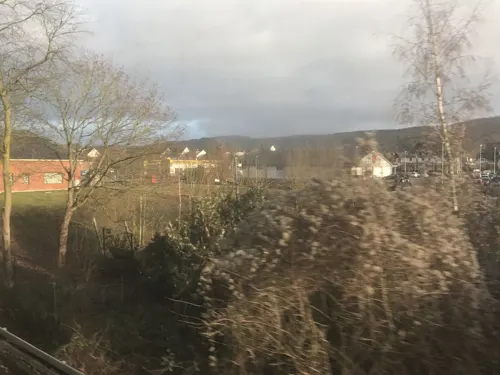
Märchenwald Bad Breisig
Sports field and stadium · 1.6 km
Eingang an der Straße
Am Kesselberg, Bad Breisig
Apr-Jun: Sa,Su,PH 10:00-18:00; Jul-Aug Mo-Su 10:00-18:00; Sep-Oct...




4 more on the map.
Restaurants and cafes80
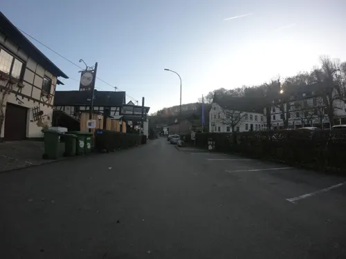
Bauernstübchen Beim ahle Fritz
Restaurant · Regional · 1.8 km
17 Arienheller, Rheinbrohl
We-Th 16:00-21:00; Fr-Su 12:00-21:00
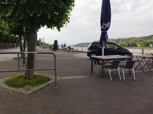
Altes Zollhaus
Restaurant · German · 1.0 km
16 Rheinufer, Bad Breisig
Mo,Tu off; We-Su 17:00+; PH 17:00+
Gastronomie In der Kristall Rheinpark Therme
Restaurant · International · 0.6 km
1 Allee St. Pierre Les Nemours
Mo, Tu, Th, Su 10:00-20:00; We, Fr, Sa 10:00-21:00
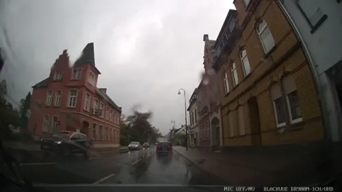
Kleine Taverne
Restaurant · Greek · 1.3 km
24 Koblenzer Straße, Bad Breisig
Mo off; Tu-Fr 12:00-14:00, 17:00-21:00; Sa 17:00-21:00; Su...
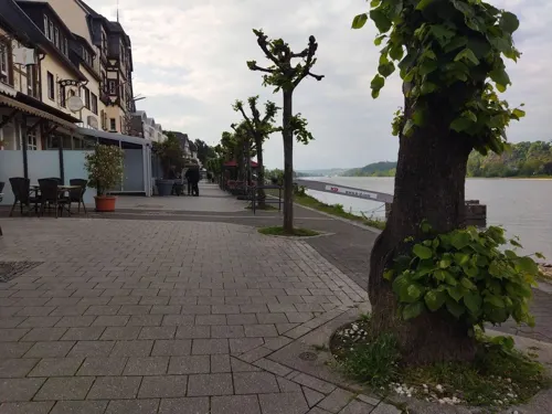
Madonnina
Restaurant · Mediterranean · 1.0 km
6 Rheinufer, Bad Breisig
Mo, Th, Fr 12:00-15:00, 17:00-21:00; Sa, Su 12:00-21:00
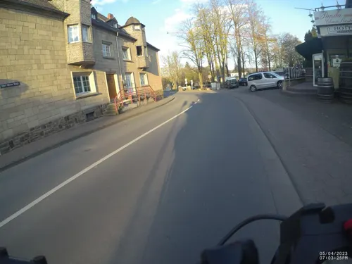
Panda Brother Restaurant
Restaurant · Chinese · 1.5 km
23 Albert-Mertés-Straße, Bad Breisig
Tu-Sa 11:00-21:00; Su 11:00-21:00
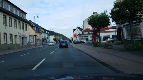
Templer Hof
Restaurant · Regional · 1.3 km
45 Koblenzer Straße, Bad Breisig
Mo, Tu, Fr 17:00+; Sa 11:30-14:00, 17:00+; Su, PH 11:30-20:30; We, Th off
Alter Zollhof
Restaurant · 1.0 km
4 Rheinufer, Bad Breisig
Tu off, Mo,Th-Sa 12:00-14:30; We off, Mo,Th-Sa 17:00-22:00, Su 12:00-22:00
Am alten Schwimmbad
Restaurant · Regional · 0.6 km
May-Oct: Mo-Sa 16:00+; May-Oct: Sa 14:22+; May-Oct: Su,PH 11:00+

68 more on the map.
History
Archeological findings suggest that the first settlers lived here over 1800 years ago when the Romans occupied the Rhineland.
The limes ran between Bad Hönningen and Rheinbrohl, opposite the Vinxtbach, the border between Germania Inferior and Superior. At this point the limes crossed the Rhine and continued on the eastern bank. On this site a small castellum was built. In 1972 a Roman watchtower was reconstructed from archeological finds.
In 1019, the town was documentary mentioned as "Besitztum Hohingen" for the first time.
During Thirty Years' War in 1632 Bad Hönningen burned down except twelve houses.
Because of this, the town is legitimated to have the title "Bad" since 1950.
From the History section of Bad Hönningen on Wikipedia, under CC BY-SA 4.0.
Where to stay30
Churches and places of worship17
Shopping17
Gas and EV charging7
Schools, colleges and libraries9
Healthcare5
Map of Bad Hönningen
250 places. The map loads OpenStreetMap tiles when you open it.
Getting there and nearby towns
Cologne Bonn Airport (CGN) is the nearest airport with scheduled flights listed in OpenStreetMap, 41 km away.
- Sinzig 6 km northwest, about 6 min by car
- Linz am Rhein 6 km north, about 6 min by car
- Remagen 9 km northwest, about 9 min by car
- Andernach 12 km southeast, about 12 min by car
- Frohnen 13 km north, about 13 min by car
- Bonefeld 13 km east, about 13 min by car
- Neuwied 15 km southeast, about 15 min by car
- Bad Neuenahr-Ahrweiler 14 km west, about 14 min by car
- Bad Honnef 15 km northwest, about 15 min by car
- Weißenthurm 15 km southeast, about 15 min by car
Drive times are estimates from straight-line distance, not routes.
Towns near Bad Hönningen


Keep exploring
Local news
Headlines from INDB.
Reviews, tips and questions
Loading what members have shared...
Sources and licences
- GeoNames (CC BY 4.0): population, coordinates, regions and time zone
- Mapillary (see each image): photos
- OpenStreetMap contributors (ODbL 1.0): places, airports, map data
- Wikidata (CC0 1.0): elevation, founding date, time zone, website, landmarks and historic places
- Wikimedia Commons (see each image): photos
- Wikipedia (CC BY-SA 4.0): overview and history text
Photo credits
- Bad Hönningen 018, Wolkenkratzer, CC BY-SA 4.0
- Stolpersteine5, Neustraße 24, Bad Hönningen, Landkreis Neuwied, Bernd Winnig, CC0
- Stolperstein Johanna Wolf, Neustraße 24, Bad Hönningen, Landkreis Neuwied, Bernd Winnig, CC0
- Stolpersteine Abraham Wolf, Neustraße 24, Bad Hönningen, Landkreis Neuwied, Bernd Winnig, CC0
- Stolperstein Wilhelm Isidor Heymann, Bischof-Stradmann-Straße 9, Bad Hönningen, Landkreis Neuwied, Bernd Winnig, CC0
- Stolperstein Ernestine Jakobsohn, Bischof-Stradmann-Straße 9, Bad Hönningen, Landkreis Neuwied, Bernd Winnig, CC0
- Stolperstein Hedwig Jakobsohn, Bischof-Stradmann-Straße 9, Bad Hönningen, Landkreis Neuwied, Bernd Winnig, CC0
- Stolperstein Samson Jakobsohn, Bischof-Stradmann-Straße 9, Bad Hönningen, Landkreis Neuwied, Bernd Winnig, CC0
- Stolperstein Max Jakobsohn, Bischof-Stradmann-Straße 9, Bad Hönningen, Landkreis Neuwied, Bernd Winnig, CC0
- Stolperstein Henriette Heymann, Bischof-Stradmann-Straße 9, Bad Hönningen, Landkreis Neuwied, Bernd Winnig, CC0
- Stolpersteine4, Bischof-Stradmann-Straße 9, Bad Hönningen, Landkreis Neuwied, Bernd Winnig, CC0
- Stolperstein Ilse Jakobsohn, Bischof-Stradmann-Straße 9, Bad Hönningen, Landkreis Neuwied, Bernd Winnig, CC0
- Stolperstein Günther Heymann, Bischof-Stradmann-Straße 9, Bad Hönningen, Landkreis Neuwied, Bernd Winnig, CC0
- Stolperstein Helmut Jakobsohn, Bischof-Stradmann-Straße 9, Bad Hönningen, Landkreis Neuwied, Bernd Winnig, CC0
- Stellwerk Bad Hönningen ESTW, Tohma ( talk ), CC BY-SA 4.0
- Stolpersteine1, Hauptstrasse 123, Bad Hönningen, Landkreis Neuwied, Bernd Winnig, CC0
- Rathaus Bad Hönningen, Lemote8, CC BY-SA 4.0
- Rathaus Bad Hönningen-075716, Raimond Spekking, CC BY-SA 4.0
- Bücherschrank, Rathaus Bad Hönningen-075734, Raimond Spekking, CC BY-SA 4.0
- Rathaus Bad Hönningen-075638, Raimond Spekking, CC BY-SA 4.0
- Hohe Haus, Bad Hönningen, backside (bearb Sp), Kleuske, CC BY-SA 3.0
- Hohe Haus, Bad Hönningen, backside, Kleuske, CC BY-SA 3.0
- Hohe Haus, Bad Hönningen, Kleuske, CC BY-SA 3.0
- Stolpersteine2, Schmiedgasse 10, Bad Hönningen, Landkreis Neuwied, Bernd Winnig, CC0
- Stolperstein Otto Wolf, Schmiedgasse 10, Bad Hönningen, Landkreis Neuwied, Bernd Winnig, CC0
- Stolperstein Johanna Rubinstein, Schmiedgasse 10, Bad Hönningen, Landkreis Neuwied, Bernd Winnig, CC0
- Stolperstein Josef Wolf, Schmiedgasse 10, Bad Hönningen, Landkreis Neuwied, Bernd Winnig, CC0
- Stolperstein Flora Wolf, Schmiedgasse 10, Bad Hönningen, Landkreis Neuwied, Bernd Winnig, CC0
- Stolperstein Paul Rubinstein, Schmiedgasse 10, Bad Hönningen, Landkreis Neuwied, Bernd Winnig, CC0
- Stolperstein Senta Mayer, Hauptstraße 143, Bad Hönningen, Landkreis Neuwied, Bernd Winnig, CC0
- Stolperstein Mathilde Bär, Hauptstraße 143, Bad Hönningen, Landkreis Neuwied, Bernd Winnig, CC0
- Bad Hoenningen Arenfels, Doris Antony , Berlin, CC BY-SA 3.0
- Burg Rheineck Luftbild 03, MFSG, CC BY-SA 3.0
- Ehrenmal der 29er, Frila 19:16, 11. Apr. 2010 (CEST). Original uploader was Frila at de.wikipedia, Public domain
- Burg Brohleck, Burg Brohleck, CC BY-SA 4.0
- St. Walburgis Leubsdorf - Südseite, Raimond Spekking, CC BY-SA 4.0
- St. Marien Niederbreisig, Tohma ( talk ), CC BY-SA 4.0
- St Viktor Oberbreisig, Günter Ruch, CC BY-SA 3.0
- Gertrudenkapelle Rheinbrohl, tohma, CC BY-SA 4.0
- Leo-Stausberg-Schule Brohl 1, Anton Simons, CC BY 2.0 de
- Katholische Pfarrkirche St. Peter und Paul, Dietmar wa, CC BY-SA 3.0
- Ev.Kirche Rbrohl 2, Tohma ( talk ) / User:Frila, CC BY-SA 3.0
- Eglise St. Suitbert de Rheinbrohl en 2021, Wikhnsj, CC BY-SA 4.0
- Brohl, St. Johannes der Täufer (29), Subbass1, CC BY-SA 4.0
- Rheinbrohl Maria Hilf Kapelle, Mabit1, CC BY-SA 4.0
- Brohl-Lützing, Preußischer Ganzmeilenobelisk, Manfred Schröter, Berga, CC BY-SA 4.0
- Wallgraben Bad Breisig Auf dem Hahn B2, JS Lonscet, CC BY-SA 4.0
- Street-level photo, bernd1960, CC BY-SA 4.0
- Street-level photo, changchun1, CC BY-SA 4.0
- Street-level photo, changchun1, CC BY-SA 4.0
- Street-level photo, changchun1, CC BY-SA 4.0
- Street-level photo, Lowiekse, CC BY-SA 4.0
- Street-level photo, derzornigemarkus, CC BY-SA 4.0
- Street-level photo, chuck, CC BY-SA 4.0
- Street-level photo, changchun1, CC BY-SA 4.0
- Street-level photo, VIA_CH, CC BY-SA 4.0
- Street-level photo, miguel_andrade, CC BY-SA 4.0
- Street-level photo, VIA_CH, CC BY-SA 4.0
- Street-level photo, VIA_KK, CC BY-SA 4.0
- Street-level photo, stili, CC BY-SA 4.0
- Street-level photo, derzornigemarkus, CC BY-SA 4.0
- Street-level photo, VIA_CH, CC BY-SA 4.0
- Street-level photo, VIA_CH, CC BY-SA 4.0
- Street-level photo, derzornigemarkus, CC BY-SA 4.0
- Street-level photo, bernd1960, CC BY-SA 4.0
- Street-level photo, derzornigemarkus, CC BY-SA 4.0
- Street-level photo, bernd1960, CC BY-SA 4.0
- Street-level photo, VIA_CH, CC BY-SA 4.0
- Street-level photo, bernd1960, CC BY-SA 4.0
- Street-level photo, derzornigemarkus, CC BY-SA 4.0
- Street-level photo, raymond, CC BY-SA 4.0
- Street-level photo, bernd1960, CC BY-SA 4.0
- Street-level photo, changchun1, CC BY-SA 4.0
- Street-level photo, raymond, CC BY-SA 4.0
- Street-level photo, changchun1, CC BY-SA 4.0
- Street-level photo, raymond, CC BY-SA 4.0
- Street-level photo, raymond, CC BY-SA 4.0


Page built November 9, 2026. Spotted a mistake? Tell us or suggest a place.