


Why visit Bocholt
Townapedia lists 117 museums and landmarks, 42 parks and trails, 212 places to eat, 17 places to stay and 11 attractions in and around town.
Highlights include Loskamp, GrenzLandeis, Bocholter Handwerksmuseum and LWL-Industriemuseum TextilWerk Bocholt - Weberei.
Weather in Bocholt
Forecast from MET Norway (CC BY 4.0). Full forecast
About Bocholt
Bocholt (German pronunciation: [ˈbɔxɔlt]) is a city in the north-west of North Rhine-Westphalia, Germany, part of the district Borken. It is situated 4 km (2+1⁄2 miles) south of the border with the Netherlands. Suderwick is part of Bocholt and is situated at the border annex to Dinxperlo.
From the Wikipedia article Bocholt, Germany (this version), under CC BY-SA 4.0.
Travel tips from other travellers: Bocholt on Wikivoyage (CC BY-SA 4.0).
Photos of Bocholt


Things to do11
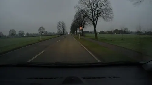
Loskamp
Farm and orchard · 5.4 km
Hofladen mit regionalen Produkten
39 Bocholter Straße, Hamminkeln
Mo-Fr 09:00-18:00; Sa 09:00-14:00


Stadttheater
Cinema and theater
Das Stadttheater Bocholt befindet sich wie das neue Rathaus zur Zeit in Sanierung.
1 Berliner Platz, Bocholt

Foto-Punkt Podiumsbrücke Kubaai
Scenic view · 0.9 km
Bocholts auffällige Podiumsbrücke und im Hintergrund das altehrwürdige Textilwerk, dies bildet den Hintergrund des riesigen Rahmen, der...
Museums and landmarks117

Bocholter Handwerksmuseum
Museum · 0.9 km
In einem Fachwerkhaus (1770) werden Entwicklung und Geschichte klassischer Handwerksberufe durch Handwerkszeug, Hilfsmittel, Geräte,...
Th 15:00-18:00; Su 14:00-18:00 || "nach Vereinbarung"

LWL-Industriemuseum TextilWerk Bocholt - Weberei
Museum · 1.0 km
50 Uhlandstraße, Bocholt
Tu-Su 10:00-18:00
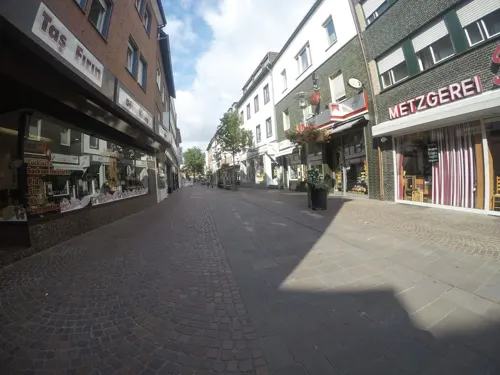
Stadtmuseum Bocholt
Museum
Ehemalige Textilfabrikantenvilla (1924-26) mit Exponaten aus der Geologie, Vor- und Frühgeschichte, der Stadtgeschichte und der...
66 Osterstraße, Bocholt


Nationaal Onderduikmuseum
Museum · 10.2 km
Museum for those who went into hiding, in Aalten, the Netherlands


Euregio Kunsthaus Bocholt
Museum
Ehemaliges Bürgerhaus, erbaut im Neo-Renaissance-Stil
69 Osterstraße, Bocholt
Tu-Su 11:00-13:00,15:00-18:00
LWL-Industriemuseum TextilWerk Bocholt - Spinnerei
Museum · 0.8 km
5 Industriestraße, Bocholt
Mar-Oct: Tu-Su 10:00-18:00
Medizin- und Apothekenmuseum Rhede
Museum · 5.7 km
14 Markt, Rhede
Tu-Su 14:00-17:00

Heimathaus Mussum
Museum · 3.7 km
Heimathaus mit Remise, 1991-1995 von der Dorfgemeinschaft Mussum errichtet. Austellungen alter Geräte und Maschinen aus dem bäuerlichen...
1 Am Marienplatz, Bocholt
"nach Vereinbarung"
105 more on the map.
Parks, trails and playgrounds42



Inselbad Bahia
Sports field and stadium · 2.6 km
169 Hemdener Weg, Bocholt
Mo-Fr 09:00-22:00; Su,PH 09:00-21:00


Spielplatz St. Helena
Playground · 6.2 km
Sandkasten, Seilbahn, Klettergerüste, Matsch-Ecke, Mini-Golf, zugleich Außengelände des Pfarrheims St. Helena
27 Barloer Ringstraße, Bocholt

Bikepark Rhede
Park · 5.1 km
Nutzungsbedingungen - Mindestalter: 10 Jahre - Helmpflicht - Keine motorisierten Fahrzeuge - Keine Drogen und kein Alkohol
Mo-Su 08:00-22:00
30 more on the map.
Restaurants and cafes212
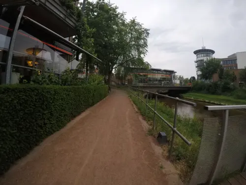
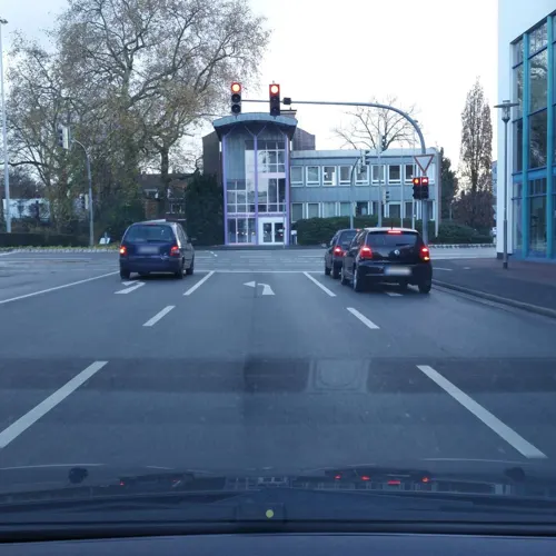
China Star
Restaurant · Chinese · 1.1 km
16 - 18 Werther Straße, Bocholt
Mo-Sa 11:30-15:00,17:30-22:30; Su 11:30-22:30
Gyoza Bar
Restaurant · Asian
35 Ravardistraße, Bocholt
Mo-Tu,Th-Sa 11:30-14:30,17:00-22:00 open; PH,Su 13:00-22:00 open; We closed
Kawaii Restaurant
Restaurant · Sushi
23 Osterstraße, Bocholt
Mo-Sa 12:00-15:00,17:30-22:00;Su 14:00-22:00;Tu off
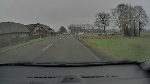
Landhaus Ridder
Restaurant · Regional · 5.3 km
41 Bocholter Straße, Hamminkeln
Mo off; Tu-Su 10:30-14:00,17:00-01:00
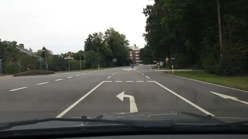
Marija Restaurant
Restaurant · Steak House · 2.3 km
1 Im Ellerbrock, Bocholt
Mo-Sa 15:00-23:00; Su 11:30-22:30
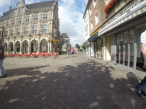
Mythos
Restaurant · Greek
3 Markt, Bocholt
Tu-Th 12:00-14:30, 17:00-22:00; Fr-Sa 12:00-14:30, 17:00-23:00; Su...
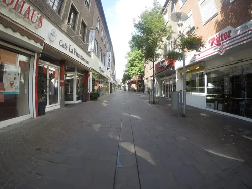
Thai Food Ayutthaya
Restaurant · Thai · 0.8 km
29a Westend, Bocholt
Mo-Th 12:00-21:00; Fr-Su 12:00-22:00

Timberjacks
Restaurant · Barbecue, Steak House, Burger, American · 0.7 km
25 Kaiser-Wilhelm-Straße, Bocholt
Mo-Th,Su 11:30-23:00; Fr-Sa 11:30-24:00
200 more on the map.
History
Bocholt was first written about in 779, when Charlemagne won a battle against the Saxons nearby. However the settlement was probably much older. Bishop Dietrich III von Isenburg from Münster gave Bocholt city rights in 1222.
In the 15th century the city flourished. The engraver Israhel van Meckenem lived and worked in the city.
Between 1803 and 1810 Bocholt was the capital of the Principality of Salm. The Principality of Salm was governed by the prince of Salm-Salm and the prince of Salm-Kyrburg.
During the Second World War the city survived generally unscathed until an Allied bombing raid on 22 March 1945 which destroyed most of the city. The city was then captured by the British a week later on 28 March. The city was the site of the Stalag VI-F POW camp.
In 1975 the former municipalities Barlo, Biemenhorst, Hemden, Holtwick, Liedern, Lowick, Mussum, Spork, Stenern and Suderwick were merged into Bocholt.
From the History section of Bocholt, Germany on Wikipedia, under CC BY-SA 4.0.
More about Bocholt
Geography
The northern border of the city of Bocholt is the German border with the Netherlands. Bocholt borders the district of Wesel, in the administrative region of Düsseldorf, in the southwest.
Bocholt is bordered in the north by the Dutch municipalities of Aalten and Winterswijk, in the east by the city of Rhede, in the south by the city of Hamminkeln, and in the west by the city of Isselburg.
The climate in the region of Bocholt and West Münsterland is temperate with distinct maritime influences, with very mild winters in comparison to other German regions because of the proximity to the ocean and the low elevation. Summers are moderately warm. The average temperature in January is 2.7 °C (37 °F) and in July 18.4 °C (65 °F).
In the average year there are 12 days of snow cover, about 31 sunny days (high temperature of 25 °C; 77 °F or higher) and 6 hot days (30 °C; 86 °F or higher) on average. In the average year there is about 750 mm (30") of precipitation, with June (78 mm; 3") and April (41 mm; 1+1⁄2") being the driest months.
Economy
Bocholt is a manufacturing town. It was centered on the textile industry for most of the 19th and 20th centuries. Today there are still several successful textile manufacturers in town, but the importance of the textile industry has greatly declined. The major employers today in Bocholt are Gigaset (Communications) and Mechanical Drives (formerly Flender) (Siemens) - a leading manufacturer of transmissions, especially for wind energy plants. Most of Bocholt's industries are smaller and manufacture highly specialized products. Some of them are international leaders in their particular fields - A Good example is the bicycle company Rose Bikes. Local industries profit from cooperation with the University of Applied Sciences (Fachhochschule) also located in Bocholt as well as with similar institutions in the region.
Bocholt is also a regional centre for shopping in the West-Münsterland area and draws consumers from the neighbouring rural and small town areas of the Netherlands. The town features an attractive old town shopping area as well as a popular new shopping mall.
From the Wikipedia article Bocholt, Germany, under CC BY-SA 4.0.
Notable people from Bocholt
 Phil BauhausGerman cyclistPhoto: Jérémy-Günther-Heinz Jähnick, CC BY-SA 3.0
 Melchior von DiepenbrockCatholic cardinal (1798-1853)Photo: J. Pater, c. 1850, Public domain
 Israhel van MeckenemGermany Printmaker and goldsmith (c.1445-1503)Photo: Israhel van Meckenem, Public domain
 Peter HyballaGerman association football player and managerPhoto: Steindy ( talk ) 21:10, 18 February..., CC BY-SA 3.0
 Katrin HoltwickGerman beach volleyball playerPhoto: Play Among Friends Paf, CC BY 2.0
 Maurice ExslagerGerman football playerPhoto: Raimond Spekking, CC BY-SA 4.0
 Jonas TenbrockcyclistPhoto: Jérémy-Günther-Heinz Jähnick, CC BY-SA 3.0
 Diana SorbelloGerman singerPhoto: Olaf Kosinsky, CC BY-SA 3.0 de
- Benjamin HenrichsGerman association football player (born 1997)
- Simon TeroddeGerman footballer
- Roland WohlfarthGerman football striker
- Jutta NiehausGerman racing cyclist
Born in Bocholt, according to Wikidata (CC0). Each name links to its Wikipedia article.
Where to stay17
Churches and places of worship30
Shopping69
Gas and EV charging17
Raiffeisen Tankstelle
Gas station · 4.4 km
12 Raiffeisenring, Bocholt
Schools, colleges and libraries40
Healthcare19
Map of Bocholt
250 places. The map loads OpenStreetMap tiles when you open it.
Getting there and nearby towns
Airport Weeze (NRN) is the nearest airport with scheduled flights listed in OpenStreetMap, 42 km away.
- Rhede 6 km east, about 6 min by car
- Dingden 8 km south, about 8 min by car
- Isselburg 10 km west, about 10 min by car
- Hamminkeln 12 km south, about 12 min by car
- Borken 17 km east, about 17 min by car
- Rees 17 km southwest, about 17 min by car
- Raesfeld 18 km southeast, about 18 min by car
- Wesel 19 km south, about 19 min by car
- Südlohn 21 km northeast, about 21 min by car
- Xanten 23 km southwest, about 23 min by car
Drive times are estimates from straight-line distance, not routes.
Towns near Bocholt


Keep exploring
Local news
Headlines from INDB.
Reviews, tips and questions
Loading what members have shared...
Sources and licences
- GeoNames (CC BY 4.0): population, coordinates, regions and time zone
- Mapillary (see each image): photos
- OpenStreetMap contributors (ODbL 1.0): places, airports, map data
- Wikidata (CC0 1.0): elevation, founding date, time zone, website, landmarks and historic places
- Wikimedia Commons (see each image): photos
- Wikipedia (CC BY-SA 4.0): overview and history text
Photo credits
- Bocholt, Ortsansicht -- 2014 -- 0044, Dietmar Rabich, CC BY-SA 4.0
- Bocholt St Georg, Chris06, Public domain
- Stolpersteinlage Bocholt Nordstraße 19, Gmbo 2013, CC0
- Stolpersteinlage Bocholt Nordstraße 19 2, Gmbo 2013, CC0
- Stolpersteine Bocholt Nordstraße 19, Gmbo 2013, CC0
- Stolperstein Bocholt Nordstraße 19 Moritz Stern, Gmbo 2013, CC0
- Stolperstein Bocholt Nordstraße 19 Hilde Stern-May, Gmbo 2013, CC0
- Stolperstein Bocholt Nordstraße 19 Walter Stern, Gmbo 2013, CC0
- Stolperstein Bocholt Nordstraße 19 Selma Herzfeld, Gmbo 2013, CC0
- Stolperstein Bocholt Nordstraße 19 Kurt Herzfeld, Gmbo 2013, CC0
- Stolperstein Bocholt Königstraße 9 Adolf Blumenthal, Gmbo 2013, CC0
- Stolpersteine Bocholt Königstraße 9, Gmbo 2013, CC0
- Stolperstein Bocholt Königstraße 9 Rachel Blumenthal, Gmbo 2013, CC0
- Stolperstein Bocholt Königstraße 9 Edith Zytnik, Gmbo 2013, CC0
- Stolperstein Bocholt Königstraße 9 Manfred Zytnik, Gmbo 2013, CC0
- Stolperstein Bocholt Königstraße 9 Marianne Roth, Gmbo 2013, CC0
- Stolpersteinlage Bocholt Königstraße 9, Gmbo 2013, CC0
- Bocholt Rathaus Suedfassade 201809, Matthias Nonnenmacher, CC BY-SA 4.0
- Bocholt St Georg Orgel Breil Fleiter 201809, Karlunun, CC BY-SA 4.0
- St. Georg Bocholt 04, H.Helmlechner, CC BY-SA 4.0
- Staße Bocholt Berold-Löwenstein-Platz, Gmbo 2013, CC0
- Bocholt St Georg Mittelschiff e 201809, Matthias Nonnenmacher, CC BY-SA 4.0
- Bocholt St Georg Seitenschiff Sued e 201809, Karlunun, CC BY-SA 4.0
- Bocholt St Georg Westturm S OG Detail 201809, Matthias Nonnenmacher, CC BY-SA 4.0
- Bocholt St Georg Bronzetafel Israhel van Meckenem 201809, Matthias Nonnenmacher, CC BY-SA 4.0
- St. Georg Bocholt 01, H.Helmlechner, CC BY-SA 4.0
- St. Georg Bocholt 03, H.Helmlechner, CC BY-SA 4.0
- Bocholt St Georg W Turmportal 201809, Karlunun, CC BY-SA 4.0
- St.-Georg-Kirche in Bocholt 20210908 162517, Reinier Post, CC BY-SA 4.0
- St. Georg Bocholt 02, H.Helmlechner, CC BY-SA 4.0
- Bocholt Liebfrauenkirche W Querhaus Klaisorgel 201809, Karlunun, CC BY-SA 4.0
- 2025-02-11 Nationaal Onderduikmuseum ZvD 76, Ziko, CC BY-SA 4.0
- Apostelkirche (Bocholt) autostitch, The original uploader was Stahlkocher at German Wikipedia ., CC BY-SA 3.0
- Rhede, St. Gudula (04), Subbass1, CC BY-SA 4.0
- 20140720 113716 Schloss Rhede, Rhede (DSC04387), Günter Seggebäing, Coesfeld, CC BY-SA 3.0
- Langenbergpark Bocholt, The original uploader was Stahlkocher at German Wikipedia ., CC BY-SA 3.0
- Handwerksmuseum Bocholt, The original uploader was Stahlkocher at German Wikipedia ., CC BY-SA 3.0
- 2005-11 bocholt rathaus, Ziko-C, CC BY-SA 3.0
- St-Helena-Kirche in Bocholt Barlo 2008, Alaska Saedelaere, CC BY-SA 3.0
- Bocholt St. Paul Ansicht 2016 1, Kameister, CC BY-SA 4.0
- 2025-04-22 LWL-Museum Textilwerk Weberei 85, Ziko van Dijk, CC BY-SA 4.0
- Christuskirche Bocholt, Odna, CC BY-SA 4.0
- Bocholt, St.-Josef-Gymnasium -- 2014 -- 2133, Dietmar Rabich, CC BY-SA 4.0
- Hemmings Schlinke nsg wdpaid 81864 NE nw 20200301 1344, Karlunun, CC BY-SA 4.0
- Bocholt, Pfarrkirche St. Josef, Hans Börsting, CC BY-SA 4.0
- 2008-09 Spork Kirche, Ziko, CC BY-SA 3.0
- Yasmin hohenhorst1, Elisa S.aus B., CC BY-SA 4.0
- Bocholt Agneskapelle2, Chris06, Public domain
- Bocholt Minoritenkirche, Chris06, Public domain
- Street-level photo, sirix, CC BY-SA 4.0
- Street-level photo, sirix, CC BY-SA 4.0
- Street-level photo, sirix, CC BY-SA 4.0
- Street-level photo, sirix, CC BY-SA 4.0
- Street-level photo, sirix, CC BY-SA 4.0
- Street-level photo, sirix, CC BY-SA 4.0
- Street-level photo, sirix, CC BY-SA 4.0
- Street-level photo, sirix, CC BY-SA 4.0
- Street-level photo, thewizard, CC BY-SA 4.0
- Street-level photo, baldur80, CC BY-SA 4.0
- Street-level photo, poxonline, CC BY-SA 4.0
- Street-level photo, poxonline, CC BY-SA 4.0
- Street-level photo, poxonline, CC BY-SA 4.0
- Street-level photo, Lowiekse, CC BY-SA 4.0
- Street-level photo, sirix, CC BY-SA 4.0
- Street-level photo, sirix, CC BY-SA 4.0
- Street-level photo, sirix, CC BY-SA 4.0
- Street-level photo, poxonline, CC BY-SA 4.0
- Street-level photo, poxonline, CC BY-SA 4.0
- Street-level photo, poxonline, CC BY-SA 4.0
- Street-level photo, poxonline, CC BY-SA 4.0
- Street-level photo, sirix, CC BY-SA 4.0
- Street-level photo, sirix, CC BY-SA 4.0
- Street-level photo, sirix, CC BY-SA 4.0
- Street-level photo, sirix, CC BY-SA 4.0
- Street-level photo, poxonline, CC BY-SA 4.0
- Street-level photo, poxonline, CC BY-SA 4.0
- Street-level photo, sirix, CC BY-SA 4.0
- Street-level photo, sirix, CC BY-SA 4.0
- Street-level photo, sirix, CC BY-SA 4.0
- Street-level photo, poxonline, CC BY-SA 4.0
- Street-level photo, sirix, CC BY-SA 4.0


Page built November 9, 2026. Spotted a mistake? Tell us or suggest a place.