


Isselburg, Germany
Isselburg is a town of 11,239 people in North Rhine-Westphalia, Germany.
Why visit Isselburg
Townapedia lists 39 museums and landmarks, 22 parks and trails, 52 places to eat, 7 places to stay and 1 attraction in and around town.
Highlights include Wasserburg Anholt, Burg Empel, Suderwicker Venn and Biotopwildpark Anholter Schweiz.
Weather in Isselburg
Forecast from MET Norway (CC BY 4.0). Full forecast
About Isselburg
Isselburg (German pronunciation: [ˈɪsl̩ˌbʊʁk] ; Low German: Isselbuorg) is a town in the district of Borken, in North Rhine-Westphalia, Germany. It is located on the river Issel, near the border of the Netherlands, and approximately 10 km west of Bocholt.
From the Wikipedia article Isselburg (this version), under CC BY-SA 4.0.
Things to do1

Museums and landmarks39

Wasserburg Anholt
Monument and historic site · 2.9 km
1 Schloß, Isselburg


Turmwindmühle Werth
Monument and historic site · 3.4 km
15 Zur Mühle, Isselburg

Beatrix 1984
Monument and historic site · 3.6 km
Op deze plek heeft koningin Beatrix in 1984 één voet in duitsland gezet. Niet met beide voeten want dan is het een staatsbezoek.



In das weisse Pferdt
Monument and historic site · 3.4 km
44 Deichstraße, Isselburg

27 more on the map.
Parks, trails and playgrounds22
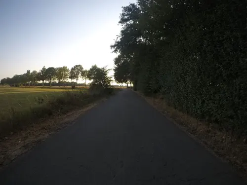



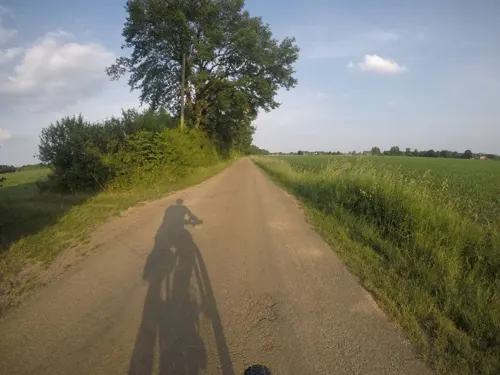



10 more on the map.
Restaurants and cafes52

Restaurant Haus Korfu
Restaurant · Greek · 3.1 km
14-16 Eiermarkt, Isselburg
Tu-Sa 17:00-22:00, Su 12:00-21:00
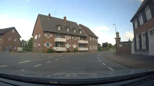
Vinasia
Restaurant · Vietnamese · 2.9 km
1 Adolf-Donders-Allee, Isselburg
Tu-Th 17:00-21:00; Fr-Sa 17:00-22:00; Su 16:00-21:00
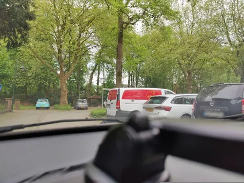
Zum Schnackert
Restaurant · German · 3.0 km
5 Steinweg, Isselburg
Mo-We,Fr-Sa 16:00-21:00; Su 12:00-21:00
il Caminetto - Ratskeller Anholt
Restaurant · Italian, German, Pizza · 3.0 km
14-18 Markt, Isselburg
Mo,We,Th 16:00-21:00; Fr,Sa 12:00-14:00,17:00-21:00; Su 12:00-21:00


Birkencafé
Cafe · 5.5 km
82 Provinzialstraße, Hamminkeln
We-Su 14:00-18:00


40 more on the map.
Where to stay7
Churches and places of worship15
Heiligkreuzkapelle
Church · Roman Catholic · 3.4 km
2 Regniet, Isselburg
St. Pankratius
Church · Roman Catholic · 3.0 km
2 Steinweg, Isselburg
Shopping12
Gas and EV charging12
Schools, colleges and libraries8
St. Quirinus - Schule, katholische Grundschule Millingen
School · Catholic · 5.2 km
31a Hauptstraße, Rees
Healthcare5
Gesundheitszentrum Augustahospital
Clinic and pharmacy · 2.8 km
48-50 Edmund-Janssen-Straße, Isselburg
Map of Isselburg
173 places. The map loads OpenStreetMap tiles when you open it.
Getting there and nearby towns
Airport Weeze (NRN) is the nearest airport with scheduled flights listed in OpenStreetMap, 34 km away.
- Rees 9 km southwest, about 9 min by car
- Rhede 16 km east, about 16 min by car
- Kalkar 16 km southwest, about 16 min by car
- Xanten 19 km south, about 19 min by car
- Wesel 21 km southeast, about 21 min by car
- Kleve 23 km west, about 23 min by car
- Raesfeld 28 km east, about 28 min by car
- Weeze 29 km southwest, about 29 min by car
- Voerde 30 km southeast, about 30 min by car
- Kapellen 30 km south, about 30 min by car
Drive times are estimates from straight-line distance, not routes.
Local news
Headlines from INDB.
Reviews, tips and questions
Loading what members have shared...
Sources and licences
- GeoNames (CC BY 4.0): population, coordinates, regions and time zone
- Mapillary (see each image): photos
- OpenStreetMap contributors (ODbL 1.0): places, airports, map data
- Wikidata (CC0 1.0): elevation, founding date, time zone, website
- Wikimedia Commons (see each image): photos
- Wikipedia (CC BY-SA 4.0): overview and history text
Photo credits
- Isselburg, Ortsansicht -- 2014 -- 2088, Dietmar Rabich, CC BY-SA 4.0
- Historische Punkte in Alt Isselburg - 18 - Ehrenmal - Haus Schmidt, Sirix OSM, CC0
- Der Stadtturm von Isselburg, Sirix OSM, CC0
- Isselburg-Kirche, Apdency, CC BY-SA 3.0
- Mühlstein der ehemaligen Isselburger Wind-Mühle, Sirix OSM, CC0
- Historische Punkte in Alt Isselburg - 15 - kath. Kirche St. Bartholomäus, Sirix OSM, CC0
- Isselburg Ständebaum R03, Marc Ryckaert, CC BY-SA 4.0
- Isselburg Ständebaum R02, Marc Ryckaert, CC BY-SA 4.0
- Isselburg Ständebaum R01, Marc Ryckaert ( MJJR ), CC BY 3.0
- Historische Punkte in Alt Isselburg - 16 - ehem. Kath. Volksschule Alte Stadt - Bleiche Feuerwache, Sirix OSM, CC0
- Historische Punkte in Alt Isselburg - 13 - Hotel Nienhaus, Sirix OSM, CC0
- Münsterland Knotenpunkt Isselburg 62 Karte, Sirix OSM, CC0
- Historische Punkte in Alt Isselburg - 7 - Rathaus, Sirix OSM, CC0
- Krangießpfanne der Isselburger Hütte, Sirix OSM, CC0
- Isselburg, Denkmal Hütten- Krangießpfanne met die Sankt Bartholomäus Kirche Dm22 op de achtergrond foto9 2017-10-18 17.14, Michielverbeek, CC BY-SA 4.0
- Historische Punkte in Alt Isselburg - 6 - Evangelische Kirche Evangelisches Pfarrhaus Parkplatz, Sirix OSM, CC0
- Historische Punkte in Alt Isselburg - Karte, Sirix OSM, CC0
- Historische Punkte in Alt Isselburg - 8 - Gasfabrik, Sirix OSM, CC0
- Isselburg - Minervastraße 4 01 ies, Frank Vincentz, CC BY-SA 3.0
- Historische Punkte in Alt Isselburg - 5 - Villa Minerva, Sirix OSM, CC0
- Historische Punkte in Alt Isselburg - 4 - Isselburger Hütte, Sirix OSM, CC0
- 36isselburgehemaligerbahnhof, Pimvantend, CC BY 3.0
- Historische Punkte in Alt Isselburg - 1 - Bahnhof Isselburg-Anholt Tram, Sirix OSM, CC0
- 35isselburgmoskee, Pimvantend, CC BY 3.0
- Isselburg, St.-Bartholomäus-Kirche -- 2014 -- 2074, Dietmar Rabich, CC BY-SA 4.0
- Isselburg, St.-Bartholomäus-Kirche -- 2014 -- 2073, Dietmar Rabich, CC BY-SA 4.0
- Isselburg, St.-Bartholomäus-Kirche -- 2014 -- 2075, Dietmar Rabich, CC BY-SA 4.0
- Isselburg Anholt - Anholter Schweiz 12 ies, Frank Vincentz, CC BY-SA 3.0
- Aerial image of Burg Anholt (view from the west), Carsten Steger, CC BY-SA 4.0
- Isselburg - Wilhelmstraße - Evangelische Kirche 01 ies, Frank Vincentz, CC BY-SA 3.0
- Rees-Empel Haus Empel PM20-05, Pieter Delicaat, CC BY-SA 4.0
- Isselburg Bartholomeuskerk, Gouwenaar, Public domain
- Isselburg, St.-Pankratius-Kirche -- 2014 -- 2082, Dietmar Rabich, CC BY-SA 4.0
- Molen Turmwindmühle Werth, Rasbak, CC BY-SA 3.0
- Süderwick, Sankt Michaelkirche foto7 2010-07-19 14.28, Michielverbeek, CC BY-SA 3.0
- Close up of the Gruftkapelle Anholt 2019 (cropped), Sirix OSM, CC0
- Rees-Empel Haus Empel PM20-11, Pieter Delicaat, CC BY-SA 4.0
- St Peter und Paul Burghuegel Werth1, Rozon, CC BY 3.0
- St. Quirinus Rees-Millingen PM21-02, Pieter Delicaat, CC BY-SA 4.0
- Suderwick02, Arch, Public domain
- Stadtturm Isselburg, Gouwenaar, Public domain
- Rees-Empel Haus Empel PM20-09, Pieter Delicaat, CC BY-SA 4.0
- Gruftkapelle Anholt 2019, Sirix OSM, CC0
- Burg Werth Westfalen 1740, Unknown author Unknown author, Public domain
- Isselburg-Werth In das Weisse Pferdt PM19-01, Pieter Delicaat, CC BY-SA 4.0
- Street-level photo, poxonline, CC BY-SA 4.0
- Street-level photo, poxonline, CC BY-SA 4.0
- Street-level photo, poxonline, CC BY-SA 4.0
- Street-level photo, sirix, CC BY-SA 4.0
- Street-level photo, sirix, CC BY-SA 4.0
- Street-level photo, sirix, CC BY-SA 4.0
- Street-level photo, poxonline, CC BY-SA 4.0
- Street-level photo, sirix, CC BY-SA 4.0
- Street-level photo, poxonline, CC BY-SA 4.0
- Street-level photo, sirix, CC BY-SA 4.0
- Street-level photo, poxonline, CC BY-SA 4.0
- Street-level photo, poxonline, CC BY-SA 4.0
- Street-level photo, poxonline, CC BY-SA 4.0
- Street-level photo, wimmel, CC BY-SA 4.0
- Street-level photo, sirix, CC BY-SA 4.0
- Street-level photo, thewizard, CC BY-SA 4.0
- Street-level photo, poxonline, CC BY-SA 4.0
- Street-level photo, poxonline, CC BY-SA 4.0
- Street-level photo, poxonline, CC BY-SA 4.0
- Street-level photo, peewee32, CC BY-SA 4.0
- Street-level photo, peewee32, CC BY-SA 4.0
- Street-level photo, poxonline, CC BY-SA 4.0
- Street-level photo, Lowiekse, CC BY-SA 4.0
- Street-level photo, thetornado76, CC BY-SA 4.0


Page built November 8, 2026. Spotted a mistake? Tell us or suggest a place.