


Why visit Eisenberg
Townapedia lists 18 museums and landmarks, 6 parks and trails, 39 places to eat, 6 places to stay and 8 attractions in and around town.
Highlights include Trappenhof, Glockenturm, Uhl'sches Haus and Kerzenheimer Tor.
Weather in Eisenberg
Forecast from MET Norway (CC BY 4.0). Full forecast
About Eisenberg
Eisenberg (German pronunciation: [ˈaɪzn̩bɛʁk]) is the largest town in the Donnersbergkreis, in Rhineland-Palatinate, Germany.
From the Wikipedia article Eisenberg, Rhineland-Palatinate (this version), under CC BY-SA 4.0.
Things to do8

Trappenhof
Farm and orchard · 2.6 km
1 Am Hettenheimer Weg, Ebertsheim
We 15:00-18:00, Fr 15:00-17:00, Sa 09:30-12:00

Kreuzhof
Farm and orchard · 0.7 km
43 Ebertsheimer Straße, Eisenberg (Pfalz)
Fr 09:00-18:00; Sa 09:00-12:00

Evangelisches Gemeindehaus/Theater
Cinema and theater
13 Friedrich-Ebert-Straße, Eisenberg (Pfalz)

Museums and landmarks18
Römermuseum „Haus Isenburg“
Museum
28 Friedrich-Ebert-Straße, Eisenberg (Pfalz)
Sa[1] 15:00-17:00

Ludwigshalle
Monument and historic site · 3.6 km
Ludwigshalle; spätklassizistische Sandsteinquaderhalle, bezeichnet 1890, Architekt Max von Siebert, München


6 more on the map.
Parks, trails and playgrounds6

Freibad Hettenleidelheim
Sports field and stadium · 3.1 km
May-Sep: Mo-Su,PH 08:30-19:00


Waldschwimmbad Eisenberg
Sports field and stadium · 1.2 km
60 Friedrich-Ebert-Straße, Eisenberg (Pfalz)
Restaurants and cafes39

Waldhotel
Restaurant · 1.0 km
20 Martin-Luther-Straße, Eisenberg (Pfalz)
Mo-Sa 18:00-21:00; Su 11:30-14:30
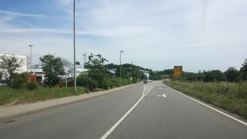
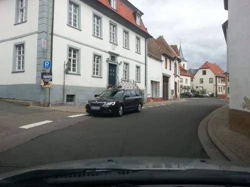
Bäckerei Schmidt
Bakery · 2.1 km
Mo-Sa 05:30-12:15, Mo,We-Fr 14:00-18:00
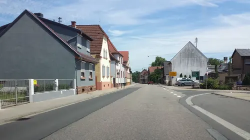
Bäckerei Schmidt
Bakery · 2.7 km
Mo-Fr 05:30-12:00,14:00-18:00; Sa 05:30-12:00
Pizzeria Bella Italia
Restaurant · Italian, Pizza · 2.6 km
44 Hauptstraße, Hettenleidelheim

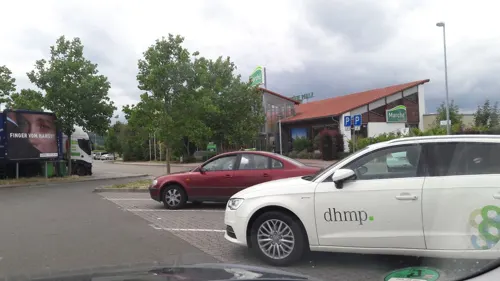


Zur schönen Aussicht
Restaurant · German · 3.2 km
16 Ebersteinstraße, Eisenberg (Pfalz)
27 more on the map.
History
The Romans had already settled the area of the town. A vicus was found on the bypass road near the border with Hettenleidelheim. It is said to be identical with Rufiniana (gr.: Ρουφινιάνα), a settlement of the Nemetes, mentioned by Ptolemy.
Eisenberg's first mention in medieval times was as Ysinberc in 763.
From the 14th century onwards Eisenberg was part of the Dominion of Kirchheim that was ruled by the House of Nassau as part of the Duchy of Nassau-Weilburg.
After the War of the First Coalition Eisenberg was occupied and later annexed by France with the Treaty of Campo Formio in 1797. From 1798 to 1814 it belonged to the French Departement du Mont-Tonnerre. After the Congress of Vienna the region was first given to Austria (1815) and later to Bavaria (1816).
After World War II Eisenberg became part of Rhineland-Palatinate (1946). On 15 March 1963 the municipality was granted town privileges. Since 1969 it belongs to the Donnersbergkreis district.
From the History section of Eisenberg, Rhineland-Palatinate on Wikipedia, under CC BY-SA 4.0.
Where to stay6
Churches and places of worship20
Protestantische Pfarrkirche
Church · Protestant · 2.2 km
6 Ebertsheimer Straße, Kerzenheim
Sankt Brigitta
Church · Protestant · 3.0 km
2 Rathausstraße, Ebertsheim
Protestantische Kirche Wattenheim
Church · Protestant · 4.1 km
4 Kirchengasse, Wattenheim
Shopping11
Gas and EV charging7
Schools, colleges and libraries13
Integrierte Gesamtschule und Realschule plus Eisenberg
School
19 Friedrich-Ebert-Straße, Eisenberg (Pfalz)
Healthcare4
Garst Zahntechnik GmbH
Clinic and pharmacy · 3.1 km
25 Lauberweg, Hettenleidelheim
Eistal-Apotheke am Markt
Clinic and pharmacy
39 Kerzenheimer Straße, Eisenberg (Pfalz)
Map of Eisenberg
132 places. The map loads OpenStreetMap tiles when you open it.
Getting there and nearby towns
City-Airport Mannheim (MHG) is the nearest airport with scheduled flights listed in OpenStreetMap, 33 km away.
- Grünstadt 7 km east, about 7 min by car
- Herxheim am Berg 9 km southeast, about 9 min by car
- Worms 22 km east, about 22 min by car
- Neustadt an der Weinstraße 24 km south, about 24 min by car
- Mutterstadt 24 km southeast, about 24 min by car
- Kaiserslautern 25 km southwest, about 25 min by car
- Haßloch 26 km southeast, about 26 min by car
- Ludwigshafen am Rhein 28 km east, about 28 min by car
- Mannheim 30 km east, about 30 min by car
- Lampertheim 29 km east, about 29 min by car
Drive times are estimates from straight-line distance, not routes.
Local news
Headlines from INDB.
Reviews, tips and questions
Loading what members have shared...
Sources and licences
- GeoNames (CC BY 4.0): population, coordinates, regions and time zone
- Mapillary (see each image): photos
- OpenStreetMap contributors (ODbL 1.0): places, airports, map data
- Wikidata (CC0 1.0): elevation, founding date, time zone, website
- Wikimedia Commons (see each image): photos
- Wikipedia (CC BY-SA 4.0): overview and history text
Photo credits
- Katholische Kirche Eisenberg, Immanuel Giel, Public domain
- Eisenberg (Pfalz), die Häuser Kerzenheimer Str. 21-25, Dguendel, CC BY 4.0
- Eisenberg (Pfalz), Matthäuskirche, die Orgel, Dguendel, CC BY 4.0
- Eisenberg (Pfalz), Matthäuskirche, die Kanzel, Dguendel, CC BY 4.0
- Eisenberg (Pfalz), Matthäuskirche, Innenansicht, Dguendel, CC BY 4.0
- Eisenberg (Pfalz), Haus Kerzenheimer Straße 10, Dguendel, CC BY 4.0
- Eisenberg (Pfalz), die Matthäuskirche, Dguendel, CC BY 4.0
- Eisenberg (Pfalz), die Fußgängerzone Philipp-Mayer-Straße, Dguendel, CC BY 4.0
- 20200724 St. Matthäus (Eisenberg), Jacquesverlaeken, CC BY-SA 4.0
- Eisenberg (Pfalz), Haus Hauptstraße 82 und Rathaus, Dguendel, CC BY 4.0
- Eisenberg (Pfalz), Haus Hauptstraße 88, Dguendel, CC BY 4.0
- Eisenberg (Pfalz), the pedestrian zone Philipp-Mayer-Straße, Dguendel, CC BY 4.0
- VG-Verwaltung Eisenberg, Christoph Ziehr, CC BY-SA 4.0
- Hauptstr 101 Eisenberg, Christoph Ziehr, CC BY-SA 4.0
- Eisenberg (Pfalz), Haus Hauptstraße 94, Dguendel, CC BY 4.0
- Hauptstr 105 Eisenberg, Christoph Ziehr, CC BY-SA 4.0
- Eisenberg (Pfalz), Haus Hauptstraße 107, Dguendel, CC BY 4.0
- Eisenberg (Pfalz), die Häuser Hauptstraße 109, 111 und 115, Dguendel, CC BY 4.0
- Eisenberg (Pfalz), das Haus Hauptstraße 109, Dguendel, CC BY 4.0
- Bahnhofstr 8 Eisenberg, Christoph Ziehr, CC BY-SA 4.0
- Rodenbach Prot. Kirche, Altera levatur, CC BY-SA 4.0
- Bossweiler St. Oswaldskirche, Kumbalam, CC0
- Evangelische Kirche Hettenleidelheim, Irgendwas freies!, CC BY-SA 3.0
- Ebertsheim Kirche 02, Immanuel Giel, CC BY-SA 3.0
- St.Peter Hettenleidelheim, Irgendwas freies!, CC BY-SA 3.0
- Burg Stauf, Ulli1105, CC BY 3.0
- Katholische Kirche St. Mattäus - panoramio, Immanuel Giel, CC BY 3.0
- Hans im Gllück - panoramio, Immanuel Giel, CC BY 3.0
- Katholische Kirche - panoramio - Immanuel Giel (1), Immanuel Giel, CC BY 3.0
- Rathaus - panoramio (42), Immanuel Giel, CC BY 3.0
- Rathausbrunnen und Protestantische Kirche - panoramio, Immanuel Giel, CC BY 3.0
- Geschichtsbrunnen - panoramio, Immanuel Giel, CC BY 3.0
- Geschichtsbrunnen - panoramio (1), Immanuel Giel, CC BY 3.0
- Geschichtsbrunnen - panoramio (2), Immanuel Giel, CC BY 3.0
- Protestantische Kirche - panoramio (19), Immanuel Giel, CC BY 3.0
- Skulpturenpark - panoramio, Immanuel Giel, CC BY 3.0
- Scheune - panoramio (6), Immanuel Giel, CC BY 3.0
- Protestantische Kirche - panoramio (20), Immanuel Giel, CC BY 3.0
- Rathaus und Protestantische Kirche - panoramio, Immanuel Giel, CC BY 3.0
- Protestantische Kirche - panoramio (22), Immanuel Giel, CC BY 3.0
- Glockenturm (Stauf)-2, Muck, CC BY-SA 4.0
- Street-level photo, atze02, CC BY-SA 4.0
- Street-level photo, wegavision, CC BY-SA 4.0
- Street-level photo, ramap, CC BY-SA 4.0
- Street-level photo, wegavision, CC BY-SA 4.0
- Street-level photo, wegavision, CC BY-SA 4.0
- Street-level photo, wegavision, CC BY-SA 4.0
- Street-level photo, ramap, CC BY-SA 4.0
- Street-level photo, ramap, CC BY-SA 4.0
- Street-level photo, ramap, CC BY-SA 4.0
- Street-level photo, wegavision, CC BY-SA 4.0
- Street-level photo, wegavision, CC BY-SA 4.0
- Street-level photo, wegavision, CC BY-SA 4.0
- Street-level photo, wegavision, CC BY-SA 4.0
- Street-level photo, atze02, CC BY-SA 4.0
- Street-level photo, atze02, CC BY-SA 4.0
- Street-level photo, NorMan61, CC BY-SA 4.0
- Street-level photo, moenk, CC BY-SA 4.0
- Street-level photo, NorMan61, CC BY-SA 4.0
- Street-level photo, NorMan61, CC BY-SA 4.0
- Street-level photo, teddy73, CC BY-SA 4.0


Page built November 8, 2026. Spotted a mistake? Tell us or suggest a place.