


Why visit Elze
Townapedia lists 76 museums and landmarks, 43 parks and trails, 68 places to eat, 8 places to stay and 17 attractions in and around town.
Highlights include Echt Schaf, Hof Wintel-Hildebrandt, Heimatmuseum Elze and Schloss Marienburg.
Weather in Elze
Forecast from MET Norway (CC BY 4.0). Full forecast
About Elze
Elze (German pronunciation: [ˈɛltsə] ) is a town in the district of Hildesheim, in Lower Saxony, Germany. It is situated on the river Leine, approximately 15 km (9.3 mi) west of Hildesheim. The municipality of Elze also comprises the villages of Esbeck, Mehle, Sehlde, Sorsum, Wittenburg and Wülfingen.
From the Wikipedia article Elze (this version), under CC BY-SA 4.0.
Things to do17



3 Burgenblick / Wittenburg / Poppenburg / Marienburg
Scenic view · 2.9 km
3 Burgenblick

Gronauer-Lichtspiele
Cinema and theater · 5.0 km
11 Bahnhofstraße, Gronau (Leine)
5 more on the map.
Museums and landmarks76

Heimatmuseum Elze
Museum
14 Mühlenstraße, Elze
Su 15:00-17:00; Tu 10:00-12:00; "und nach Vereinbarung"


Engelbrechtenscher Hof
Monument and historic site · 4.9 km
16 Junkernstraße, Gronau (Leine)


Ehemalige Klosterkirche
Monument and historic site · 5.8 km
An der Klostermauer, Gronau (Leine)




Bockhof I
Monument and historic site · 4.9 km
10 Junkernstraße, Gronau (Leine)
64 more on the map.
Parks, trails and playgrounds43



Freibad Elze
Sports field and stadium · 1.1 km
2 Am Freibad
Mo-Sa 06:00-20:30, Su 08:00-20:30
Freizeitbad Nordstemmen
Sports field and stadium · 5.8 km
2 Am Freibad, Nordstemmen
Mo-Sa 06:00-20:00, Su 07:00-20:00


31 more on the map.
Restaurants and cafes68
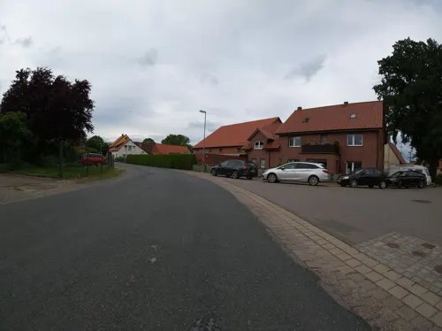
1852 Landgasthof
Restaurant · German, American · 1.9 km
2 An der Beeke
Th, Fr 17:00-23:00; Sa 15:00-23:00; Su 12:00-21:00
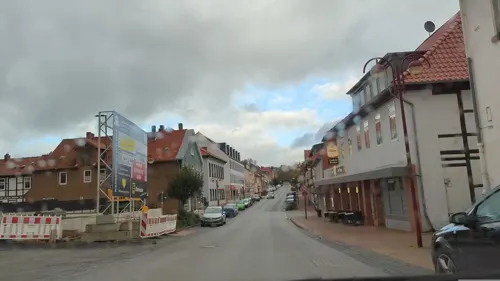
Castelo-Branco
Restaurant · Italian, Indian, German
65 Hauptstraße, Elze
Tu-Su 11:30-14:30, 17:00-22:00
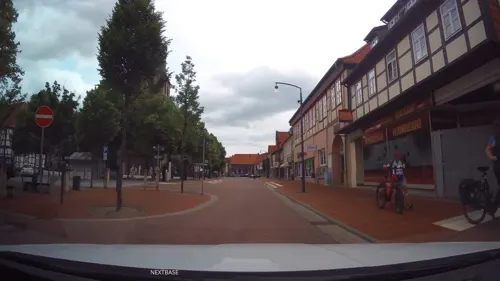
El Mercado
Restaurant · Spanish · 5.1 km
16 Hauptstraße, Gronau (Leine)
Tu-Th 12:00-14:30, 16:00-22:00; Fr-Sa 12:00-14:30, 16:00-23:00

Grillhaus Zeus
Restaurant · Greek · 5.0 km
11 Bahnhofstraße, Gronau (Leine)
Tu-Sa 16:00-22:00; Su 12:00-14:00,16:00-22:00
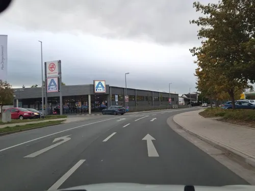
Landbäckerei Grube
Bakery · 5.2 km
7 Ladestraße, Gronau (Leine)
Mo-Fr 05:00-18:00; Sa 06:00-15:00; Su 07:00-11:00
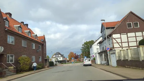
Ristorante Jaylano
Restaurant · Italian · 5.2 km
43 Hauptstraße, Nordstemmen
Tu-Fr 11:30-14:30,17:00-22:30; Sa 16:00-22:30; Su 12:00-22:00
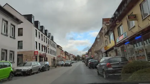
Steffis Sportgaststätte
Restaurant · International · 5.6 km
22 Schlingweg, Nordstemmen
Mo off; Tu,We,Fr,Sa 17:00-22:00 "Schließt bei weniger Betrieb um...
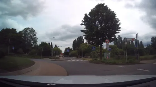
Zur Grünen Aue
Restaurant · German · 4.7 km
19 Leintor, Gronau (Leine)
Mo-Tu, Th-Sa 19:00-23:00; Su 12:00-14:00, 19:00-22:00
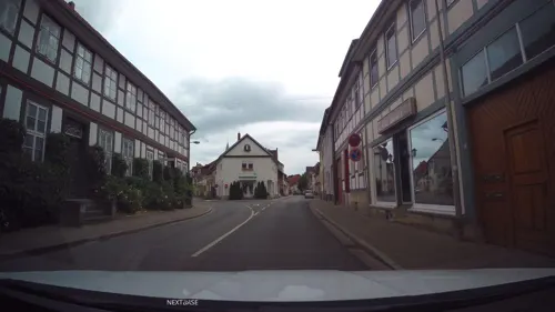


Asia Viet Bistro
Restaurant · 4.9 km
7 Leintor, Gronau (Leine)
Tu-Fr 11:00-14:30,17:00-21:00; Sa,Su 11:00-21:00
56 more on the map.
Where to stay8
Churches and places of worship24
Shopping23
Gas and EV charging9
Schools, colleges and libraries14
Healthcare6
Map of Elze
250 places. The map loads OpenStreetMap tiles when you open it.
Getting there and nearby towns
Hannover Airport (HAJ) is the nearest airport with scheduled flights listed in OpenStreetMap, 38 km away.
- Gronau 5 km southeast, about 5 min by car
- Nordstemmen 5 km northeast, about 5 min by car
- Heyersum 6 km northeast, about 6 min by car
- Salzhemmendorf 12 km southwest, about 12 min by car
- Hildesheim 15 km east, about 15 min by car
- Sarstedt 15 km northeast, about 15 min by car
- Springe 16 km northwest, about 16 min by car
- Pattensen 16 km north, about 16 min by car
- Alfeld 16 km south, about 16 min by car
- Harsum 18 km northeast, about 18 min by car
Drive times are estimates from straight-line distance, not routes.
Local news
Headlines from INDB.
Reviews, tips and questions
Loading what members have shared...
Sources and licences
- GeoNames (CC BY 4.0): population, coordinates, regions and time zone
- Mapillary (see each image): photos
- OpenStreetMap contributors (ODbL 1.0): places, airports, map data
- Wikidata (CC0 1.0): elevation, founding date, time zone, website
- Wikimedia Commons (see each image): photos
- Wikipedia (CC BY-SA 4.0): overview and history text
Photo credits
- Elze Stadtansicht mit Peter und Paul Kirche, Phiarc, CC BY-SA 4.0
- Hauptstraße 80, 5, Elze, Landkreis Hildesheim, GeorgDerReisende, CC BY-SA 4.0
- Kreuzstein, 1, Wülfinger Straße, Elze, Landkreis Hildesheim, GeorgDerReisende, CC BY-SA 4.0
- Hauptstraße 1, 1, Elze, Landkreis Hildesheim, GeorgDerReisende, CC BY-SA 4.0
- Schmiedetorstraße 2, 5, Elze, Landkreis Hildesheim, GeorgDerReisende, CC BY-SA 4.0
- Hauptstraße 80, 1, Elze, Landkreis Hildesheim, GeorgDerReisende, CC BY-SA 4.0
- Schmiedetorstraße 2, 2, Elze, Landkreis Hildesheim, GeorgDerReisende, CC BY-SA 4.0
- Hauptstraße 80, 4, Elze, Landkreis Hildesheim, GeorgDerReisende, CC BY-SA 4.0
- Hauptstraße 80, 2, Elze, Landkreis Hildesheim, GeorgDerReisende, CC BY-SA 4.0
- Schmiedetorstraße 2, 1, Elze, Landkreis Hildesheim, GeorgDerReisende, CC BY-SA 4.0
- Brunnen, 1, Dickopfsplatz, Elze, Landkreis Hildesheim, GeorgDerReisende, CC BY-SA 4.0
- Schmiedetorstraße 1, 1, Elze, Landkreis Hildesheim, GeorgDerReisende, CC BY-SA 4.0
- Schmiedetorstraße 2, 4, Elze, Landkreis Hildesheim, GeorgDerReisende, CC BY-SA 4.0
- Hauptstraße 76, 1, Elze, Landkreis Hildesheim, GeorgDerReisende, CC BY-SA 4.0
- Wallstraße, 2, Elze, Landkreis Hildesheim, GeorgDerReisende, CC BY-SA 4.0
- Schmiedetorstraße 1, 2, Elze, Landkreis Hildesheim, GeorgDerReisende, CC BY-SA 4.0
- Wallstraße 16, 2, Elze, Landkreis Hildesheim, GeorgDerReisende, CC BY-SA 4.0
- Wallstraße 14, 1, Elze, Landkreis Hildesheim, GeorgDerReisende, CC BY-SA 4.0
- Wallstraße, 1, Elze, Landkreis Hildesheim, GeorgDerReisende, CC BY-SA 4.0
- Jungfernstieg, 6, Elze, Landkreis Hildesheim, GeorgDerReisende, CC BY-SA 4.0
- Wallstraße 13, 1, Elze, Landkreis Hildesheim, GeorgDerReisende, CC BY-SA 4.0
- Rosensweg, 1, Elze, Landkreis Hildesheim, GeorgDerReisende, CC BY-SA 4.0
- ND-HI 163, 1, Hildesheimer Straße, Elze, Landkreis Hildesheim, GeorgDerReisende, CC BY-SA 4.0
- Danziger Straße 6, 1, Elze, Landkreis Hildesheim, GeorgDerReisende, CC BY-SA 4.0
- ND-HI 163, 2, Hildesheimer Straße, Elze, Landkreis Hildesheim, GeorgDerReisende, CC BY-SA 4.0
- Bundesstraße 1, 2, Elze, Landkreis Hildesheim, GeorgDerReisende, CC BY-SA 4.0
- Schmiedetorstraße 7, 1, Elze, Landkreis Hildesheim, GeorgDerReisende, CC BY-SA 4.0
- Wallstraße 10, 1, Elze, Landkreis Hildesheim, GeorgDerReisende, CC BY-SA 4.0
- Jungfernstieg, 4, Elze, Landkreis Hildesheim, GeorgDerReisende, CC BY-SA 4.0
- Bundesstraße 1, 1, Elze, Landkreis Hildesheim, GeorgDerReisende, CC BY-SA 4.0
- Wallstraße 10, 4, Elze, Landkreis Hildesheim, GeorgDerReisende, CC BY-SA 4.0
- Jungfernstieg, 5, Elze, Landkreis Hildesheim, GeorgDerReisende, CC BY-SA 4.0
- Mühlenstraße 3, 1, Elze, Landkreis Hildesheim, GeorgDerReisende, CC BY-SA 4.0
- Jungfernstieg, 3, Elze, Landkreis Hildesheim, GeorgDerReisende, CC BY-SA 4.0
- Schmiedetorstraße 11, 1, Elze, Landkreis Hildesheim, GeorgDerReisende, CC BY-SA 4.0
- Mühlenstraße 4, 1, Elze, Landkreis Hildesheim, GeorgDerReisende, CC BY-SA 4.0
- Osterstraße, 2, Elze, Landkreis Hildesheim, GeorgDerReisende, CC BY-SA 4.0
- Wallstraße 9, 1, Elze, Landkreis Hildesheim, GeorgDerReisende, CC BY-SA 4.0
- Schmiedetorstraße 11+13, 4, Elze, Landkreis Hildesheim, GeorgDerReisende, CC BY-SA 4.0
- Schmiedetorstraße 11, 13, 2, Elze, Landkreis Hildesheim, GeorgDerReisende, CC BY-SA 4.0
- Poppenburg seitlich, Axel Hindemith, CC BY-SA 3.0
- NSG Gronauer Masch 1, Lotte76, CC BY-SA 3.0
- Elze StPetrus zu den Ketten, Rabanus Flavus, Public domain
- Wülfinghausen Klosterkirche, Benutzer:AxelHH, Public domain
- Naturschutzgebiet Leineaue unter dem Rammelsberg (7), Lotte76, CC BY-SA 4.0
- RastilandPanorama, DerRaser, CC BY-SA 4.0
- Gronau StJoseph, Rabanus Flavus, Public domain
- Heimatmuseum Elze, Mühlenstraße 14, Gerd Fahrenhorst, CC BY 4.0
- Peter und Paul-Kirche in Elze, Michael Brandtner, CC BY-SA 3.0
- Mahlerten Kirchturm 0751, Poknuv751, CC BY-SA 4.0
- Urbanuskirche Mehle Elze, Clemensfranz, CC BY-SA 4.0
- Mehle Kirche Marien, Kirchenfan, CC0
- St. Matthäi Gronau, Tine, CC BY-SA 3.0
- St.Nicolai-Kirche in Alferde (Springe) IMG 4231, losch, CC BY-SA 3.0
- St.Georg-Kirche in Holtensen (Springe) IMG 4225, losch, CC BY-SA 3.0
- Kriegerdenkmal in Alferde (Springe) IMG 4237, losch, CC BY-SA 3.0
- Museum Gronau, Clemensfranz, CC BY-SA 3.0
- Klosterkirche Wittenburg von Osten (2007), Werner Ochs, CC BY-SA 3.0
- Stadtpark Elze im Herbst, Gerd Fahrenhorst, CC BY 4.0
- Louis Krüger Gedenkstein Elze, Gerd Fahrenhorst, CC BY 4.0
- Kriegerdenkmal 1870-71 (Elze) 1, Gerd Fahrenhorst, CC BY 4.0
- Marienburg Castle in summer, Michael Gäbler, CC BY 3.0
- Feldberger Kapelle, Katanga ( Diskussion ) 16:21, 22. Feb. 2015 (CET), CC BY-SA 3.0
- Marienberg vom Osterwald, Axel Hindemith, CC BY-SA 3.0
- Denkmalplakette Niedersachsen ab 2018, AxelHH, CC0
- Street-level photo, Langfahrer, CC BY-SA 4.0
- Street-level photo, hotteliene, CC BY-SA 4.0
- Street-level photo, hotteliene, CC BY-SA 4.0
- Street-level photo, Schmarvis, CC BY-SA 4.0
- Street-level photo, Schmarvis, CC BY-SA 4.0
- Street-level photo, hotteliene, CC BY-SA 4.0
- Street-level photo, hotteliene, CC BY-SA 4.0
- Street-level photo, Langfahrer, CC BY-SA 4.0
- Street-level photo, hotteliene, CC BY-SA 4.0
- Street-level photo, hotteliene, CC BY-SA 4.0
- Street-level photo, hotteliene, CC BY-SA 4.0
- Street-level photo, hotteliene, CC BY-SA 4.0
- Street-level photo, Schmarvis, CC BY-SA 4.0
- Street-level photo, hotteliene, CC BY-SA 4.0
- Street-level photo, Friesmaker, CC BY-SA 4.0
- Street-level photo, hotteliene, CC BY-SA 4.0
- Street-level photo, hotteliene, CC BY-SA 4.0
- Street-level photo, hotteliene, CC BY-SA 4.0
- Street-level photo, hotteliene, CC BY-SA 4.0
- Street-level photo, frankvival, CC BY-SA 4.0
- Street-level photo, Langfahrer, CC BY-SA 4.0
- Street-level photo, aceini, CC BY-SA 4.0
- Street-level photo, Langfahrer, CC BY-SA 4.0
- Street-level photo, hotteliene, CC BY-SA 4.0
- Street-level photo, martinstoehr, CC BY-SA 4.0
- Street-level photo, Schmarvis, CC BY-SA 4.0
- Street-level photo, Langfahrer, CC BY-SA 4.0
- Street-level photo, Langfahrer, CC BY-SA 4.0


Page built November 9, 2026. Spotted a mistake? Tell us or suggest a place.