


Why visit Emsbüren
Townapedia lists 35 museums and landmarks, 56 parks and trails, 69 places to eat, 17 places to stay and 3 attractions in and around town.
Highlights include Großsteingrab Bramsche-Wesel 1, Hünenburg, Heidfeld and Ahlder Pool (Schwatte Venne).
Weather in Emsbüren
Forecast from MET Norway (CC BY 4.0). Full forecast
About Emsbüren
Emsbüren is a municipality in the Emsland district, Lower Saxony, Germany. It is situated on the river Ems, approx. 15 km south of Lingen, and 15 km northwest of Rheine.
From the Wikipedia article Emsbüren (this version), under CC BY-SA 4.0.
Things to do3


Museums and landmarks35





23 more on the map.
Parks, trails and playgrounds56
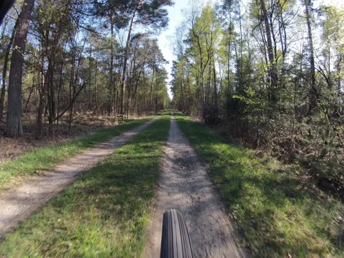





Freibad Schüttorf
Sports field and stadium · 9.6 km
Tu-Fr 06:30-19:00; Mo 06:30-09:00,13:00-19:00; Sa,Su 09:00-19:00
44 more on the map.
Restaurants and cafes69
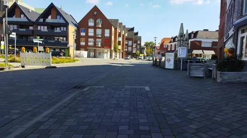
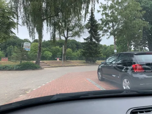
Fährrestaurant Hotel am Wasserfall
Restaurant · International · 8.5 km
2 Am Wasserfall, Lingen (Ems)
We-Mo 12:00-14:00, 18:00-22:00

Gaststätte Venhaus
Restaurant · German · 8.5 km
89 Salzbergener Straße, Samern
Th-Su,PH 11:00-18:00+; Mo 16:00-18:00+
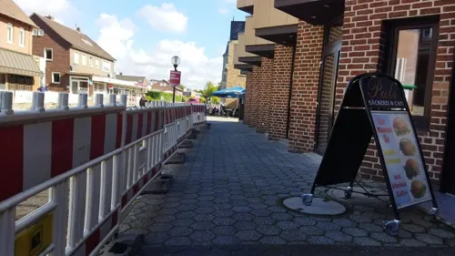
Hosselmann
Bakery · 8.5 km
33 Bahnhofstraße, Salzbergen
Mo-Fr 05:30-18:00; Sa 05:30-17:00; Su 07:00-17:00
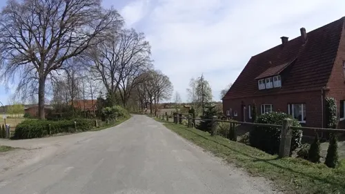
Zur Schleuse
Restaurant · German · 7.5 km
23 Heitel
Nov 1-Mar 31: Mo 14:00+; Nov 1-Mar 31: Tu-Su 11:00+; Apr 1-Sep 30:...
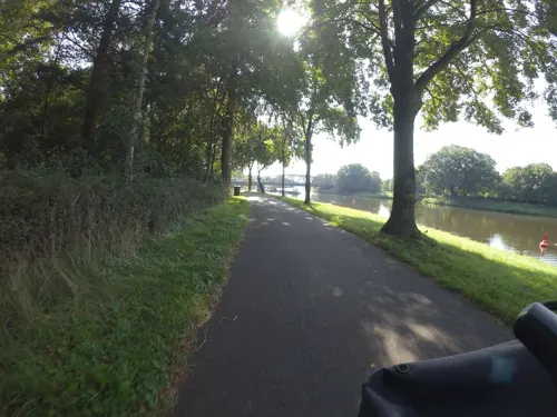
Alte Schleuse
Cafe · 8.5 km
2,3,3a An der Schleuse, Lingen (Ems)
Tu-Sa 14:30-19:00; Su 13:00-19:00; PH 13:00-19:00
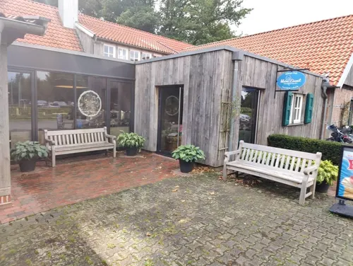
Bauernhofcafé In't Hürhus
Cafe · 3.2 km
19a Mehringen, Emsbüren
We 09:00-19:00 off; Th, Fr 12:00-19:00; Sa, Su 09:30-19:00

Biener Landbäckerei Wintering – Bäckerei in Bramsche (im EDEKA)
Bakery · 8.3 km
6 Mundersumer Straße, Lingen (Ems)
Mo-Fr 06:00-19:00; Sa 06:00-16:00; Su 07:00-11:00
Bäckerei und Conditorei Triffterer
Bakery · 8.6 km
85 Salzbergener Straße, Samern
Mo-Fr 06:00-18:30; Sa 06:00-17:00; Su 07:30-12:00
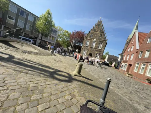


Eierschale
Bar and pub · 9.7 km
2 Windstraße, Schüttorf
Th 19:00-23:00, Fr 20:00-02:00, Sa 20:00-03:00; Su-We off
Sokrates
Restaurant · Greek · 0.8 km
6-7 Schulstraße, Emsbüren
Mo-Tu off; We-Sa 17:00-21:00; Su 16:00-21:00; PH off
Sundag
Bakery · 9.2 km
15 Salzberger Straße, Schüttorf
Mo-Fr 05:00-18:00; Sa 05:00-17:00; Su 06:00-17:00
57 more on the map.
Where to stay17
Churches and places of worship16
Neuapostolische Kirche
Church · New Apostolic · 9.6 km
14 Breslauer Straße, Schüttorf
Shopping22
Gas and EV charging19
Schools, colleges and libraries11
Healthcare4
Map of Emsbüren
250 places. The map loads OpenStreetMap tiles when you open it.
Getting there and nearby towns
Münster Osnabrück Airport (FMO) is the nearest airport with scheduled flights listed in OpenStreetMap, 39 km away.
- Salzbergen 8 km south, about 8 min by car
- Schüttorf 10 km southwest, about 10 min by car
- Spelle 12 km east, about 12 min by car
- Lingen 14 km north, about 14 min by car
- Bad Bentheim 14 km southwest, about 14 min by car
- Rheine 16 km southeast, about 16 min by car
- Nordhorn 16 km west, about 16 min by car
- Neuenkirchen 17 km south, about 17 min by car
- Wietmarschen 18 km northwest, about 18 min by car
- Freren 19 km northeast, about 19 min by car
Drive times are estimates from straight-line distance, not routes.
Local news
Headlines from INDB.
Reviews, tips and questions
Loading what members have shared...
Sources and licences
- GeoNames (CC BY 4.0): population, coordinates, regions and time zone
- Mapillary (see each image): photos
- OpenStreetMap contributors (ODbL 1.0): places, airports, map data
- Wikidata (CC0 1.0): elevation, founding date, time zone, website, landmarks and historic places
- Wikimedia Commons (see each image): photos
- Wikipedia (CC BY-SA 4.0): overview and history text
Photo credits
- Emsbüren, kerk in straatzicht foto6 2011-05-07 12.21, Michielverbeek, CC BY-SA 3.0
- AhlderPool1997, Christian Fischer, CC BY-SA 4.0
- Kirche St. Cyriakus Salzbergen, Frontansicht, Juli 2013, Salzbergener, Public domain
- Großsteingrab Bramsche-Wesel Position Garmin N 52° 25,435’, E 7° 22,242’, Kryobob, CC BY-SA 3.0
- Lünne, Kirche St. Vitus 1, Rauenstein, CC BY-SA 3.0
- Bramsche, Kirche St. Gertrudis, Rauenstein, CC BY-SA 3.0
- Engden - Abt St.Antonius Kirche, Heribert Duling (Famduling), CC BY-SA 4.0
- Emsbüren kirko St. Andreas 6b, Thomas Pusch (changes by Rabanus Flavus ), CC BY-SA 3.0
- Kath-kirche-schuettorf2012, Knightriderfan, CC BY-SA 4.0
- Die innere Wall-Graben-Anlage der Hünenburg. Foto Eismann 2015, Castritus, CC BY-SA 4.0
- Mehringer Steine 1, Megalithicguy, CC BY-SA 4.0
- Paus TL 9078, Hermann Paus Maschinenfabrik GmbH, CC BY-SA 4.0
- Street-level photo, changchun1, CC BY-SA 4.0
- Street-level photo, changchun1, CC BY-SA 4.0
- Street-level photo, GlitchHunter, CC BY-SA 4.0
- Street-level photo, ramap, CC BY-SA 4.0
- Street-level photo, deleted_user, CC BY-SA 4.0
- Street-level photo, deleted_user, CC BY-SA 4.0
- Street-level photo, Lowiekse, CC BY-SA 4.0
- Street-level photo, GlitchHunter, CC BY-SA 4.0
- Street-level photo, zox, CC BY-SA 4.0
- Street-level photo, GlitchHunter, CC BY-SA 4.0
- Street-level photo, marczoutendijk, CC BY-SA 4.0
- Street-level photo, Langfahrer, CC BY-SA 4.0
- Street-level photo, ottor, CC BY-SA 4.0
- Street-level photo, changchun1, CC BY-SA 4.0
- Street-level photo, changchun1, CC BY-SA 4.0
- Street-level photo, GlitchHunter, CC BY-SA 4.0
- Street-level photo, changchun1, CC BY-SA 4.0
- Street-level photo, VIA_KK, CC BY-SA 4.0
- Street-level photo, ottor, CC BY-SA 4.0
- Street-level photo, ottor, CC BY-SA 4.0


Page built November 9, 2026. Spotted a mistake? Tell us or suggest a place.