


Why visit Salzbergen
Townapedia lists 45 museums and landmarks, 30 parks and trails, 38 places to eat, 11 places to stay and 6 attractions in and around town.
Highlights include Käshuesken, Spargelhof Gut Holsterfeld, Europäische Märchengesellschaft and Gradierwerk.
Weather in Salzbergen
Forecast from MET Norway (CC BY 4.0). Full forecast
About Salzbergen
Salzbergen (Dutch:Zoutbergen) is a municipality in the Emsland district, Lower Saxony, Germany. It is situated on the river Ems, approx. 25 km south of Lingen, and 10 km northwest of Rheine.
From the Wikipedia article Salzbergen (this version), under CC BY-SA 4.0.
Things to do6


Museums and landmarks45
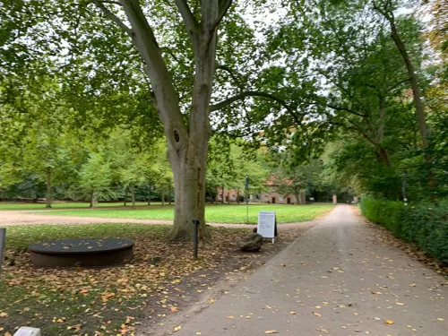
Europäische Märchengesellschaft
Museum · 6.1 km
130 Bentlager Weg
Mo 09:00-12:00; Tu-Th 09:00-16:00; Fr 09:00-12:00




33 more on the map.
Parks, trails and playgrounds30



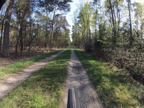

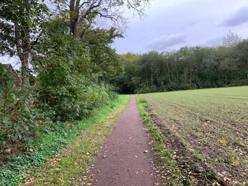
Wald-Grünlandkomplex bei Schloss Bentlage
Hiking and trails · 5.6 km

Segelclub Ochtrup Wettringen - SCOW
Marina and boat launch · 5.8 km
Brachen, Kleingewässer und Gehölzbestände westlich Steide
Hiking and trails · 3.8 km
§30-Biotop
18 more on the map.
Restaurants and cafes38

Naturzoo Rheine
Restaurant · 5.9 km
150 Salinenstraße, Rheine
Mar 15-Oct 26 Mo-Sa 09:00-18:00, Su,PH 09:00-19:00; Oct 27-Mar 14...

Das Emskind
Restaurant · Steak House · 4.8 km
375 Salzbergener Straße, Rheine
Mo-Th 17:00-23:00; Fr-Sa 17:00-24:00; Su 11:00-23:00
Antekoje Restaurant & Catering
Restaurant · 4.6 km
36 Landersum, Neuenkirchen
Mo-Tu off; We-Sa 17:00-23:00; Su 17:00-22:00
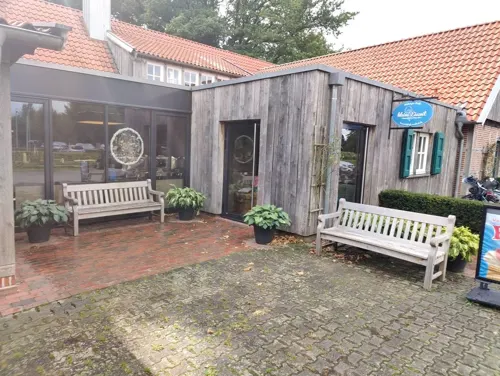
Bauernhofcafé In't Hürhus
Cafe · 5.6 km
19a Mehringen, Emsbüren
We 09:00-19:00 off; Th, Fr 12:00-19:00; Sa, Su 09:30-19:00
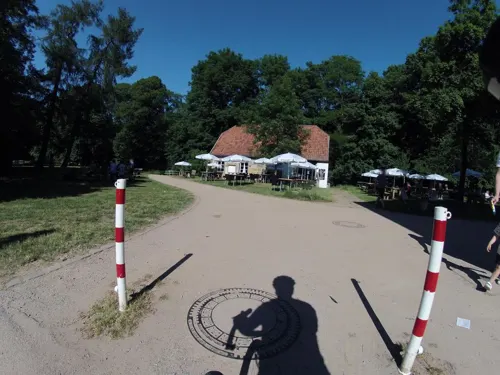
Klostercafe Bentlage
Cafe · 6.1 km
130 Bentlager Weg, Rheine
Tu-Sa 14:00-18:00, Su 11:00-18:00, Mo off
Aryos
Restaurant · Greek, Turkish, Spanish
15 Bahnhofstraße, Salzbergen
Mo,Tu,Th 17:00-22:00; Fr,Sa 17:00-23:00; Su,PH 12:00-21:00
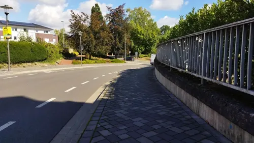


Jägerklause
Bar and pub · 6.3 km
Klassische Kneipe mit großem Saal für festliche Veranstaltungen und großem Außenbereich zum Sitzen.
78 Brechtestraße
Mo, We-Fr 17:00-00:00; Sa, Su 11:00-13:00, 17:00-00:00
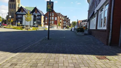


King Dönerhaus
Restaurant · Pizza, Kebab, Salad
25 Bahnhofstraße, Salzbergen
Mo-Sa 11:30-22:00; Su, PH 13:00-22:00
26 more on the map.
Where to stay11
Campingplatz an der Ems Salzbergen
Campground · 0.8 km
2 Am Emsradweg, Salzbergen
Churches and places of worship5
Shopping10
Lüttmann Werkzeugmaschinenvertriebs GmbH
Hardware store · 6.2 km
28 Röntgenstraße, Rheine
Gas and EV charging9
Schools, colleges and libraries7
Healthcare1
Map of Salzbergen
162 places. The map loads OpenStreetMap tiles when you open it.
Getting there and nearby towns
Münster Osnabrück Airport (FMO) is the nearest airport with scheduled flights listed in OpenStreetMap, 31 km away.
- Rheine 8 km southeast, about 8 min by car
- Schüttorf 8 km west, about 8 min by car
- Neuenkirchen 9 km south, about 9 min by car
- Spelle 10 km northeast, about 10 min by car
- Bad Bentheim 13 km west, about 13 min by car
- Ochtrup 16 km southwest, about 16 min by car
- Hörstel 17 km east, about 17 min by car
- Steinfurt 19 km south, about 19 min by car
- Emsdetten 21 km southeast, about 21 min by car
- Lingen 22 km north, about 22 min by car
Drive times are estimates from straight-line distance, not routes.
Local news
Headlines from INDB.
Reviews, tips and questions
Loading what members have shared...
Sources and licences
- GeoNames (CC BY 4.0): population, coordinates, regions and time zone
- Mapillary (see each image): photos
- OpenStreetMap contributors (ODbL 1.0): places, airports, map data
- Wikidata (CC0 1.0): elevation, founding date, time zone, website, landmarks and historic places
- Wikimedia Commons (see each image): photos
- Wikipedia (CC BY-SA 4.0): overview and history text
Photo credits
- Wohn- und Geschäftshaus Bahnhofstraße 17 Salzbergen P4070478, Worldfootage, CC BY-SA 4.0
- Kriegerdenkmal Emsstraße Salzbergen P4070487, Worldfootage, CC BY-SA 4.0
- Bahnhof Salzbergen (Güterschuppen) P4070476, Worldfootage, CC BY-SA 4.0
- Bahnhof Salzbergen (Laderampe) P4070476 Laderampe, Worldfootage, CC BY-SA 4.0
- Salzbergen Denkmallok 043 196 naast het station (27460982163), Rob Dammers, CC BY 2.0
- Bahnhof Salzbergen, Vuxi, CC BY-SA 4.0
- Holländischer Güterschuppen Bahnhof Salzbergen P4070491, Worldfootage, CC BY-SA 4.0
- Eisenbahnerwohnhaus Lindenstraße 31 Salzbergen P4070496, Worldfootage, CC BY-SA 4.0
- 8311 Raffinerie Salzbergen 8311, Gerd Fahrenhorst, CC BY 4.0
- WestfalenBahn to Emden Hbf in Salzbergen 2016, Rob Dammers, CC BY 2.0
- Befeuerter Erhitzer Salzbergen, Heat11, CC BY-SA 3.0
- Bildstock Ecke Lindenstraße-Nordmeyerstraße Salzbergen P4070493, Worldfootage, CC BY-SA 4.0
- ISP Salzbergen 8313, Gerd Fahrenhorst, CC BY 4.0
- Eisenbahnerwohnhaus Lindenstraße 45+47 Salzbergen P4070498, Worldfootage, CC BY-SA 4.0
- Eisenbahnerwohnhaus Lindenstraße 49 Salzbergen P4070499, Worldfootage, CC BY-SA 4.0
- Bildstock Ecke Lindenstr.- Nordermeyerstr. Salzbergen P4070500, Worldfootage, CC BY-SA 4.0
- Eisenbahnerwohnhaus Lindenstraße 22 Salzbergen P4070501, Worldfootage, CC BY-SA 4.0
- 8314 Raffinerie Salzbergen 8314, Gerd Fahrenhorst, CC BY 4.0
- ISP Salzbergen 8315, Gerd Fahrenhorst, CC BY 4.0
- ISP Salzbergen 8316, Gerd Fahrenhorst, CC BY 4.0
- 8317 Raffinerie Salzbergen 8317, Gerd Fahrenhorst, CC BY 4.0
- 8318 Raffinerie Salzbergen 8318, Gerd Fahrenhorst, CC BY 4.0
- ISP Salzbergen 8319, Gerd Fahrenhorst, CC BY 4.0
- 8320 Raffinerie Salzbergen 8320, Gerd Fahrenhorst, CC BY 4.0
- 8322 Raffinerie Salzbergen 8322, Gerd Fahrenhorst, CC BY 4.0
- 8335 Raffinerie Salzbergen 8335, Gerd Fahrenhorst, CC BY 4.0
- 8323 Raffinerie Salzbergen 8323, Gerd Fahrenhorst, CC BY 4.0
- Friedhofstor Friedhof Salzbergen P4070502, Worldfootage, CC BY-SA 4.0
- Steinkreuz Friedhof Salzbergen P4070503, Worldfootage, CC BY-SA 4.0
- 8334 Raffinerie Salzbergen 8334, Gerd Fahrenhorst, CC BY 4.0
- St.-Antonius-Basilika (Rheine), Sharps at German Wikipedia, CC BY-SA 2.0 de
- Kirche St. Cyriakus Salzbergen, Frontansicht, Juli 2013, Salzbergener, Public domain
- Rheine Tierpark Stoerche, Corradox, CC BY-SA 3.0
- AhlderPool1997, Christian Fischer, CC BY-SA 4.0
- Kloster Bentlage, Sharps, CC BY-SA 2.0 de
- Mehringer Steine 1, Megalithicguy, CC BY-SA 4.0
- Saline Gottesgabe, Rheine, Sharps, CC BY-SA 2.0 de
- Großes Unland, LoMo600, CC0
- NaturZoo Rheine (Eingang), Sharps, CC BY-SA 2.0 de
- Thermoölanlage, Heat11, CC BY-SA 4.0
- Street-level photo, wolfgangfey, CC BY-SA 4.0
- Street-level photo, changchun1, CC BY-SA 4.0
- Street-level photo, changchun1, CC BY-SA 4.0
- Street-level photo, GlitchHunter, CC BY-SA 4.0
- Street-level photo, zox, CC BY-SA 4.0
- Street-level photo, GlitchHunter, CC BY-SA 4.0
- Street-level photo, changchun1, CC BY-SA 4.0
- Street-level photo, changchun1, CC BY-SA 4.0
- Street-level photo, GlitchHunter, CC BY-SA 4.0
- Street-level photo, changchun1, CC BY-SA 4.0
- Street-level photo, wolfgangfey, CC BY-SA 4.0
- Street-level photo, wolfgangfey, CC BY-SA 4.0
- Street-level photo, snowdiver, CC BY-SA 4.0
- Street-level photo, GlitchHunter, CC BY-SA 4.0
- Street-level photo, changchun1, CC BY-SA 4.0
- Street-level photo, GlitchHunter, CC BY-SA 4.0
- Street-level photo, Langfahrer, CC BY-SA 4.0
- Street-level photo, Langfahrer, CC BY-SA 4.0


Page built November 9, 2026. Spotted a mistake? Tell us or suggest a place.