


Why visit Gadheim
Townapedia lists 6 museums and landmarks, 7 parks and trails, 10 places to eat, 2 places to stay and 2 attractions in and around town.
Highlights include Imkerei Konrad, DenkOrt Deportationen 1941-1944 and Museum im Kulturspeicher Würzburg.
Weather in Gadheim
Forecast from MET Norway (CC BY 4.0). Full forecast
About Gadheim
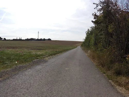
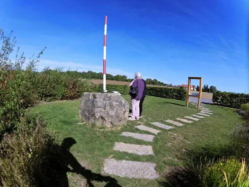
Gadheim is a village in Lower Franconia, in northern Bavaria belonging to the municipality of Veitshöchheim. It is located about 10 kilometers (6.2 miles) north of Würzburg. As of 31 January 2020, Gadheim is the site of the geodetic center of the European Union.
From the Wikipedia article Gadheim (this version), under CC BY-SA 4.0.
Things to do2

Museums and landmarks6

DenkOrt Deportationen 1941-1944
Monument and historic site · 5.5 km
Holocaust memorial


Universitätsgebäude
Museum · 5.4 km
Cultural heritage monument D-6-63-000-472 (0) in Würzburg, Bavaria

Parks, trails and playgrounds7

Restaurants and cafes10
Waldschänke
Restaurant · Regional, Pizza · 2.2 km
41 Schafhofstraße, Würzburg
Oct 12: Mo-We off; Oct 12: Th-Sa 16:30-23:00; Oct 12: Su 11:00-14:30
Bäckerei Beck
Bakery · 1.9 km
52-54 Würzburger Straße, Güntersleben
Mo-Fr 07:00-19:00; Sa 07:00-17:00

Bäckerei St. Markushof
Bakery
19 Gadheimer Straße, Veitshöchheim
Mo-Th 06:30-13:00; Fr 06:30-12:30
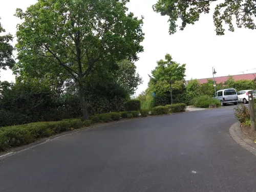
Grünwald
Bakery · 1.6 km
7 Heidenfelderstraße, Veitshöchheim
Tu-Fr 07:00-12:30; Sa 07:00-12:00; Su 08:00-11:00
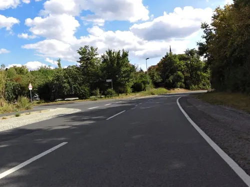
Kilian's Bäcker
Cafe · 2.4 km
Mo-Sa 06:30-18:00; Su 07:00-17:00
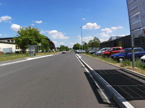




Enzo's Pizza
Fast food · Pizza, Salad · 2.4 km
4 St.-Joseph-Straße, Würzburg
Tu off, Fr 16:30-01:00, We,Th,Sa-Mo 16:30-22:00
Where to stay2
St. Markushof Ausbildungshotel
Motel and hotel
19 Gadheimer Straße, Veitshöchheim
Churches and places of worship3
Shopping5
Gas and EV charging2
Schools, colleges and libraries5
Healthcare2
Maternus-Apotheke
Clinic and pharmacy · 2.4 km
22a Würzburger Straße, Güntersleben
Map of Gadheim
44 places. The map loads OpenStreetMap tiles when you open it.
Getting there and nearby towns
Verkehrslandeplatz Giebelstadt (GHF) is the nearest airport with scheduled flights listed in OpenStreetMap, 22 km away.
- Veitshöchheim 2 km southwest, about 2 min by car
- Würzburg 7 km southeast, about 7 min by car
- Karlstadt 16 km northwest, about 16 min by car
- Kitzingen 21 km southeast, about 21 min by car
- Werneck 21 km northeast, about 21 min by car
- Marktheidenfeld 22 km west, about 22 min by car
- Ochsenfurt 23 km southeast, about 23 min by car
- Gemünden am Main 27 km northwest, about 27 min by car
- Lohr am Main 29 km northwest, about 29 min by car
- Wertheim 30 km west, about 30 min by car
Drive times are estimates from straight-line distance, not routes.
Local news
Headlines from INDB.
Reviews, tips and questions
Loading what members have shared...
Sources and licences
- GeoNames (CC BY 4.0): population, coordinates, regions and time zone
- Mapillary (see each image): photos
- OpenStreetMap contributors (ODbL 1.0): places, airports, map data
- Wikidata (CC0 1.0): elevation, founding date, time zone, website, landmarks and historic places
- Wikimedia Commons (see each image): photos
- Wikipedia (CC BY-SA 4.0): overview and history text
Photo credits
- Veitshöchheim-Gadheim - Kapelle Sankt Markus, Haeferl, CC BY-SA 4.0
- Gadheim Gemeinde Veitshöchheim Germany, Ruediku, CC BY-SA 4.0
- Gadheim bei Veitshöchheim ,Germany, Ruediku, CC BY-SA 4.0
- Röntgengedächtnisstätte in Würzburg 05, NearEMPTiness, CC BY-SA 4.0
- D-6-79-202-35, MercyfulRelease, CC BY-SA 4.0
- Gymvhh, BlockGHG, CC BY-SA 4.0
- Geografischer Mittelpunkt der Europäischen Union 2, Florian Sabonchi, CC BY-SA 4.0
- Geografischer Mittelpunkt der Europäischen Union 3, Florian Sabonchi, CC BY-SA 4.0
- Geografischer Mittelpunkt der Europäischen Union, Florian Sabonchi, CC BY-SA 4.0
- Wohnanlage-Gartensiedlung - panoramio, Toepfel, CC BY 3.0
- Kirche "Kuratie HL Geist" Gartensiedlung - panoramio, Toepfel, CC BY-SA 3.0
- Museum im Kulturspeicher Würzburg IMG 6974, Daderot, Public domain
- Veitshöchheim - Stolperstein Max Mährlein (Hofweg 10a), Wiki surfer bcr, CC BY-SA 4.0
- Street-level photo, zoegglmeyr, CC BY-SA 4.0
- Street-level photo, zoegglmeyr, CC BY-SA 4.0
- Street-level photo, ramap, CC BY-SA 4.0
- Street-level photo, zoegglmeyr, CC BY-SA 4.0
- Street-level photo, zoegglmeyr, CC BY-SA 4.0
- Street-level photo, zoegglmeyr, CC BY-SA 4.0
- Street-level photo, zoegglmeyr, CC BY-SA 4.0
- Street-level photo, zoegglmeyr, CC BY-SA 4.0
- Street-level photo, zoegglmeyr, CC BY-SA 4.0
- Street-level photo, zoegglmeyr, CC BY-SA 4.0
- Street-level photo, zoegglmeyr, CC BY-SA 4.0
- Street-level photo, zoegglmeyr, CC BY-SA 4.0
- Street-level photo, zoegglmeyr1, CC BY-SA 4.0
- Street-level photo, ramap, CC BY-SA 4.0
- Street-level photo, ramap, CC BY-SA 4.0
- Street-level photo, kay_d, CC BY-SA 4.0
- Street-level photo, zoegglmeyr, CC BY-SA 4.0
- Street-level photo, zoegglmeyr1, CC BY-SA 4.0
- Street-level photo, zoegglmeyr, CC BY-SA 4.0
- Street-level photo, zoegglmeyr, CC BY-SA 4.0
- Street-level photo, zoegglmeyr, CC BY-SA 4.0


Page built November 9, 2026. Spotted a mistake? Tell us or suggest a place.