


Why visit Greifenstein
Townapedia lists 46 museums and landmarks, 21 parks and trails, 67 places to eat, 8 places to stay and 27 attractions in and around town.
Highlights include Koppe, Haagstein, Jüdischer Friedhof and Wilhelmswalze.
Weather in Greifenstein
Forecast from MET Norway (CC BY 4.0). Full forecast
About Greifenstein
Greifenstein (German pronunciation: [ˈɡʁaɪfn̩ˌʃtaɪn]) is a municipality in the Lahn-Dill-Kreis in Hesse, Germany. Its administrative seat is Beilstein. Greifenstein covers 67.43 km2 on the eastern slope of the Westerwald range. It was named for the castle of the same name in the constituent community of the same name.
From the Wikipedia article Greifenstein (this version), under CC BY-SA 4.0.
Things to do27




Feldbergblick
Scenic view · 4.4 km
Bei guter Sicht kann man von hier den Feldberg im Taunus erblicken
15 more on the map.
Museums and landmarks46


"Alter Bahnhof" Beilstein Gleis 1
Monument and historic site · 4.7 km
21 Schloßstraße, Greifenstein
Fr 14:30+,Sa 09:00-13:00; PH off

Alte Schule
Monument and historic site · 4.6 km
Alte Schule Sinn, Historismus, heute Haus der Vereine mit Seminar - und Kulturräumen, Freiwilligenbüro, Neugotisches Bruchsteinmauerwerk...
1 Ballersbacher Weg, Sinn

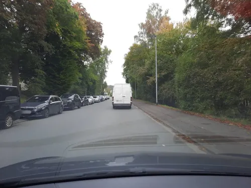



KP HN Historischer Grenzstein Nr 51
Monument and historic site · 4.5 km
Zwischen den beiden Grenzsteinen Nr. 51 und 50 war ein Grenzdurchlass, durch den die alte Poststraße hinab nach Sinn führte.
34 more on the map.
Parks, trails and playgrounds21
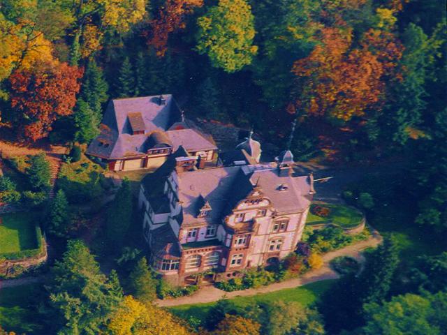






9 more on the map.
Restaurants and cafes67
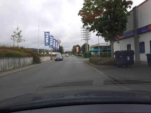
Backhaus Moos
Cafe · Coffee Shop, Cake, Bistro · 6.0 km
10, Herborn
Mo-Fr 07:00-19:00; Sa 07:00-18:00; Su 08:00-17:00
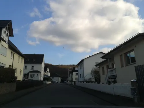
BeZett
Restaurant · Regional · 4.3 km
5 Hofstraße, Sinn
Tu-Th 12:00-18:00; Fr-Sa 09:30-22:00; Su-Mo off
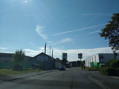
Das Esszimmer
Restaurant · German, Regional · 6.2 km
33 Konrad-Adenauer-Straße, Herborn
Mo,Tu off; We-Sa 17:00+, PH,Su 11:30+
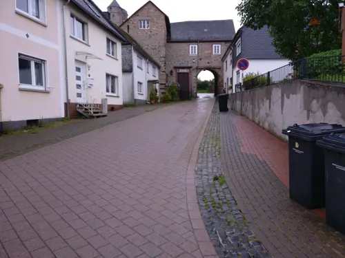
Gittis Bergggasthof
Restaurant · German, Austrian · 0.7 km
3 Talstraße, Greifenstein
Tu,Fr 12:00-14:00, Tu,We,Fr 17:00-22:00; Sa,Su 12:00-22:00
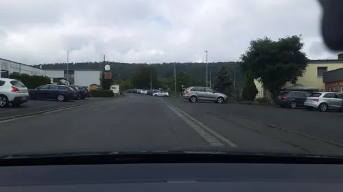
Kaisergarten
Restaurant · Chinese, Mongolian · 6.5 km
13 Rehbergring, Herborn
Tu off; Mo,We-Sa 12:00-14:30,18:00-22:00, Sa,Su,PH 12:00-22:00,...
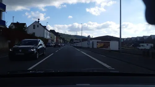
PizzaNap
Restaurant · Pizza · 4.8 km
9 Herborner Straße, Sinn
Mo-Th 11:30-14:00, Mo-Fr 16:30-22:00, Sa,Su 11:30-22:00

Zur schönen Aussicht
Restaurant · German, Italian · 0.9 km
5 Dillblick, Greifenstein
Th,Fr 18:00-21:30, Sa-Su 12:00-14:00,18:00-21:30;"Mo 18:00-21:30...
Bäckerei Gabriel
Bakery · 4.7 km
2A Friedrichstraße, Herborn
Mo-We 07:00-12:00; Th-Fr 07:00-12:00,14:00-18:00; Sa 07:00-12:30

Bäckerei Hartmann und Luckenbach
Cafe · 5.9 km
2 Herborner Straße, Herborn
Mo-Fr 05:30-18:00; Sa 06:00-12:30


Bürgerhof Katzenfurt
Restaurant · German · 3.0 km
31 Brückenstraße, Ehringshausen
We-Sa 17:00-23:00,Su 11:30-14:30,17:00-22:00

Café Landbäckerei Hartmann & Luckenbach
Bakery · 3.3 km
37 Hauptstraße, Sinn
Mo-Fr 05:30-12:30; Sa 06:00-11:30
55 more on the map.
Where to stay8
Churches and places of worship25
Evangelische Kirche
Church · Protestant · 6.7 km
15 Rother Straße, Driedorf
Evangelische Kirche Katzenfurt
Church · Protestant · 3.5 km
7 Kirchstraße, Ehringshausen
Shopping18
Gas and EV charging14
Schools, colleges and libraries12
Healthcare10
Map of Greifenstein
248 places. The map loads OpenStreetMap tiles when you open it.
Getting there and nearby towns
Siegerlandflughafen (SGE) is the nearest airport with scheduled flights listed in OpenStreetMap, 18 km away.
- Sinn 4 km northeast, about 4 min by car
- Herborn 7 km north, about 7 min by car
- Leun 8 km southeast, about 8 min by car
- Selters 11 km south, about 11 min by car
- Mittenaar 11 km northeast, about 11 min by car
- Solms 12 km southeast, about 12 min by car
- Aßlar 12 km east, about 12 min by car
- Mengerskirchen 12 km southwest, about 12 min by car
- Braunfels 13 km southeast, about 13 min by car
- Dillenburg 14 km north, about 14 min by car
Drive times are estimates from straight-line distance, not routes.
Local news
Headlines from INDB.
Reviews, tips and questions
Loading what members have shared...
Sources and licences
- GeoNames (CC BY 4.0): population, coordinates, regions and time zone
- Mapillary (see each image): photos
- OpenStreetMap contributors (ODbL 1.0): places, airports, map data
- Wikidata (CC0 1.0): elevation, founding date, time zone, website, landmarks and historic places
- Wikimedia Commons (see each image): photos
- Wikipedia (CC BY-SA 4.0): overview and history text
Photo credits
- Greifenstein Allendorf Kirche 2, Meikel1965, CC BY-SA 3.0
- Greifenstein - Burg - gesamt, Oliver Abels ( SBT ), CC BY 2.5
- Burg Greifenstein Hof Linde Nd189 305 SAM 0696 20200430, Karlunun, CC BY-SA 4.0
- Linde Burg Greifenstein, Otto Domes, CC BY-SA 4.0
- Katzenfurt von Burg Greifenstein 100 SAM 0690 20200430, Karlunun, CC BY-SA 4.0
- Burg Greifenstein Suedbastion SW 30 SAM 0700 20200430, Karlunun, CC BY-SA 4.0
- Burg Greifenstein - geo.hlipp.de - 36732, Uwe Seibert on geo.hlipp.de, CC BY-SA 2.0
- Burg Greifenstein Bollwerk Kuchen SE 330 SAM 0702 20200430, Karlunun, CC BY-SA 4.0
- Burg Greifenstein Nassauer Turm SW 25 SAM 0705 20200430, Matthias Nonnenmacher, CC BY-SA 4.0
- Burg Greifenstein Bruderturm Wettergreif SAM 0706 20200430, Karlunun, CC BY-SA 4.0
- Greifenstein - Burg - Front, Oliver Abels ( SBT ), CC BY 2.5
- Burg Greifenstein (Rekonstruktionsversuch) (6314984579), Heribert Pohl --- Thanks for half a million clicks! from Germering bei München, Bayern, CC BY-SA 2.0
- Burg Greifenstein, Blick von der Gesindestube in Burgküche (8511990175), Heribert Pohl --- Thanks for half a million clicks! from Germering bei München, Bayern, CC BY-SA 2.0
- Greifenstein - Backhaus, Oliver Abels ( SBT ), CC BY 2.5
- Eiche Eichelchen Greifenstein, Otto Domes, CC BY-SA 4.0
- Burg Greifenstein (7233248674), Heribert Pohl --- Thanks for half a million clicks! from Germering bei München, Bayern, CC BY-SA 2.0
- Burg Greifenstein, Doppeltürme (8511985639), Heribert Pohl --- Thanks for half a million clicks! from Germering bei München, Bayern, CC BY-SA 2.0
- Burg Greifenstein, Nordfassade des neuen Baus (8511992151), Heribert Pohl --- Thanks for half a million clicks! from Germering bei München, Bayern, CC BY-SA 2.0
- Burg Greifenstein im Westerwald, Türmerstube (8511994001), Heribert Pohl --- Thanks for half a million clicks! from Germering bei München, Bayern, CC BY-SA 2.0
- Lager des Greifensteiner Kalkes, Otto Domes, CC BY-SA 4.0
- Burg Greifenstein Grundriss (8511999861), Heribert Pohl --- Thanks for half a million clicks! from Germering bei München, Bayern, CC BY-SA 2.0
- Burg Greifenstein , Rekonstruktionsversuch (8513112362), Heribert Pohl --- Thanks for half a million clicks! from Germering bei München, Bayern, CC BY-SA 2.0
- Burg Greifenstein, rechts unten Bollwerk Drachen, in der Mitte die Doppeltürme und links die Nordfassade des neuen Baus (8511987941), Heribert Pohl --- Thanks for half a million clicks! from Germering bei München, Bayern, CC BY-SA 2.0
- Marienkapelle Elgershausen Greifenstein, Cfbolz, CC BY-SA 4.0
- Burg Greifenstein NW 130 SAM 0680 20200430, Karlunun, CC BY-SA 4.0
- Baumgruppe Greifenstein, Otto Domes, CC BY-SA 4.0
- Blick auf Greifenthal und die Burg Greifenstein - geo.hlipp.de - 38021, Uwe Seibert on geo.hlipp.de, CC BY-SA 2.0
- Am Hindstein bei Greifenstein 3, Otto Domes, CC BY-SA 4.0
- Villa Haas Luftbild, www.villahaas.com, CC BY 3.0
- Koppe (Hörre) 1, Kurt + Else Dietrich, CC BY-SA 3.0
- Herborn - Gesamtanlage Jüdischer Friedhof (KD.HE 132942 1 07.2015), Oliver Abels, CC BY-SA 4.0
- Roth-Kirche, Otto Domes, CC BY-SA 4.0
- Ehringshausen-Dillheim Kirche west 20120325, VonDerDill, CC BY-SA 3.0
- Beilstein Kirche (01), Wikiwal, CC BY-SA 4.0
- Burg Greifenstein Ev. Kirche (03), Wikiwal, CC BY-SA 4.0
- Greifenstein Ulm Kirche, Meikel1965, CC BY-SA 3.0
- Evangelische Kirche Hörbach, USeibert, CC BY-SA 3.0 de
- Sinn, Evangelische Kirche, Otto Domes, CC BY-SA 4.0
- Hörbacher Viehweide 1, Otto Domes, CC BY-SA 4.0
- Am Hindstein bei Greifenstein 2, Otto Domes, CC BY-SA 4.0
- Katzenfurt Kirche (01), Wikiwal, CC BY-SA 4.0
- Ehringshausen-Katzenfurt Juedischer Friedhof 20120715, VonDerDill, CC BY-SA 3.0
- Sinn, Ballersbacher Weg 1, Otto Domes, CC BY-SA 4.0
- Edingen, Fleisbacher Straße 6, Otto Domes, CC BY-SA 4.0
- Herborn - Neuapostolische Kirche (1 07.2015), Oliver Abels, CC BY-SA 4.0
- Grenzstein Nr. 53 Nordseite zwischen Königreich Preußen (KP) und Herzogtum Nassau (HN), Rudi Kopp, CC BY-SA 3.0
- Vitos Herborn, Daniel Mauerfeld, CC BY-SA 4.0
- Leuner Burg, Otto Domes, CC BY-SA 4.0
- Street-level photo, cfbolz, CC BY-SA 4.0
- Street-level photo, thetornado76, CC BY-SA 4.0
- Street-level photo, lllooommm, CC BY-SA 4.0
- Street-level photo, Lowiekse, CC BY-SA 4.0
- Street-level photo, troher15, CC BY-SA 4.0
- Street-level photo, thetornado76, CC BY-SA 4.0
- Street-level photo, grinninghamster, CC BY-SA 4.0
- Street-level photo, lllooommm, CC BY-SA 4.0
- Street-level photo, bitnapper, CC BY-SA 4.0
- Street-level photo, troher15, CC BY-SA 4.0
- Street-level photo, thetornado76, CC BY-SA 4.0
- Street-level photo, troher15, CC BY-SA 4.0
- Street-level photo, Lowiekse, CC BY-SA 4.0
- Street-level photo, Lowiekse, CC BY-SA 4.0
- Street-level photo, Lowiekse, CC BY-SA 4.0
- Street-level photo, thetornado76, CC BY-SA 4.0
- Street-level photo, Lowiekse, CC BY-SA 4.0
- Street-level photo, thetornado76, CC BY-SA 4.0
- Street-level photo, thetornado76, CC BY-SA 4.0
- Street-level photo, troher15, CC BY-SA 4.0
- Street-level photo, troher15, CC BY-SA 4.0


Page built November 9, 2026. Spotted a mistake? Tell us or suggest a place.