


Why visit Leun
Townapedia lists 59 museums and landmarks, 16 parks and trails, 66 places to eat, 14 places to stay and 9 attractions in and around town.
Highlights include Naturkost Blattlaus, Wetterauer Früchtchen, Schloß Braunfels and Jüdischer Friedhof.
Weather in Leun
Forecast from MET Norway (CC BY 4.0). Full forecast
About Leun
Leun (German pronunciation: [lɔʏn] ) is a small town in the Lahn-Dill-Kreis in Hesse, Germany.
From the Wikipedia article Leun (this version), under CC BY-SA 4.0.
Things to do9
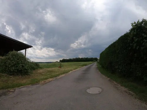



Waldlädchen - Norbert Paal
Farm and orchard · 2.9 km
29 Clara-Schumann-Straße, Solms
Museums and landmarks59


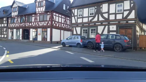

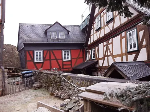
Stollen Würgengel
Monument and historic site · 4.3 km
Mundloch erhalten, Stollen verschüttet, ehemals Wasserlösung



47 more on the map.
Parks, trails and playgrounds16


Golf Club Schloss Braunfels
Golf course · 3.4 km
Homburger Hof, Braunfels
sunrise-sunset


4 more on the map.
Restaurants and cafes66
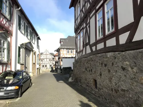
Zum Solmser Hof
Restaurant · Greek · 4.7 km
1 Marktplatz, Braunfels
Tu-Fr 18:00-21:00; Sa,Su 12:00-15:00,18:00-21:00
Café Vogel
Cafe · Cake · 4.7 km
1 Fürst-Ferdinand-Straße, Braunfels
Mo-Fr 09:00-17:30; Sa-Su 08:00-17:30
GEORGIE’S RESTAURANT im Bistro am Schloss
Restaurant · International · 4.7 km
4 Schloßstraße, Braunfels
Tu-Su 16:00-22:00

Memoria
Restaurant · Mediterranean · 4.1 km
20 Oberndorfer Straße, Solms
Tu-Su,PH 11:30-14:00, 17:00-22:30; Mo off
Pizzeria Pizza Pie
Restaurant · Italian · 3.4 km
3 Alte Leuner Straße, Braunfels
Tu-Su 11:30-14:30,17:30-23:00
Restaurant Zum Turm
Restaurant · German · 4.7 km
11 Marktplatz, Braunfels
Mo,Th-Fr 12:00-14:00,18:00-22:00; Sa-Su 12:00-22:00; Tu,We off


Bäckerei und Cafe Schuppner & Koschare
Bakery
49 Wetzlarer Straße, Leun
Tu-Fr 06:00-12:30, 14:30-18:00; Sa 06:00-12:30
54 more on the map.
History
Leun had its first documentary mention in 771. Building a stone bridge in the late 15th century and being granted market rights helped the village's economic growth, which in 1664 resulted in town rights being granted.
As part of Hesse's municipal reform, the new, bigger town of Leun came into being when the main town of Leun and the other aforesaid communities voluntarily joined together on 1 January 1972.
From the History section of Leun on Wikipedia, under CC BY-SA 4.0.
Where to stay14
Schröders Guesthouse & Friseur im Alten Forstamt
Motel and hotel · 4.4 km
5 Wetzlarer Straße, Braunfels
Churches and places of worship10
Evangelische Kirche Burgsolms
Church · Protestant · 3.8 km
1 Bergstraße, Solms
Shopping21
Gas and EV charging7
Schools, colleges and libraries6
Ev. Öffentliche Bibliothek der Kirchengemeinde Burgsolms
Library · 3.6 km
7a Georgshüttenstraße, Solms
Healthcare12
Map of Leun
220 places. The map loads OpenStreetMap tiles when you open it.
Getting there and nearby towns
Siegerlandflughafen (SGE) is the nearest airport with scheduled flights listed in OpenStreetMap, 26 km away.
- Solms 4 km southeast, about 4 min by car
- Braunfels 5 km southeast, about 5 min by car
- Selters 6 km southwest, about 6 min by car
- Aßlar 9 km northeast, about 9 min by car
- Wetzlar 10 km east, about 10 min by car
- Weilburg 10 km southwest, about 10 min by car
- Sinn 11 km north, about 11 min by car
- Weilmünster 13 km south, about 13 min by car
- Herborn 15 km north, about 15 min by car
- Mengerskirchen 14 km west, about 14 min by car
Drive times are estimates from straight-line distance, not routes.
Local news
Headlines from INDB.
Reviews, tips and questions
Loading what members have shared...
Sources and licences
- GeoNames (CC BY 4.0): population, coordinates, regions and time zone
- Mapillary (see each image): photos
- OpenStreetMap contributors (ODbL 1.0): places, airports, map data
- Wikidata (CC0 1.0): elevation, founding date, time zone, website
- Wikimedia Commons (see each image): photos
- Wikipedia (CC BY-SA 4.0): overview and history text
Photo credits
- LeunLimburgerStrasse, Leparisien, CC BY-SA 3.0
- Schloss Braunfels, Rainer Lippert, CC BY-SA 3.0
- Braunfels-Palais-Hartleben-JR-E-3101-2019-04-20, Johannes Robalotoff, CC BY-SA 4.0
- Schloss Braunfels April 2008, Michael J. Zirbes, CC BY-SA 3.0
- Kirche Solms-Niederbiel, Philipp Trümper ( PTWZ ( talk )), CC BY 3.0
- Burgsolms Ev. Kirche, Wikiwal, CC BY-SA 4.0
- Kirche Solms-Oberndorf 2, Philipp Trümper, CC BY 3.0
- Leun Kath Kirche, Meikel1965, CC BY-SA 3.0
- Braunfels Urwaldzelle, Fernando Ferkelkraut, CC BY-SA 4.0
- Stolperstein Leun Eichenwald Adolf, Meikel1965, CC BY-SA 4.0
- Jüdischer Friedhof Solms, Barnack, Public domain
- Schloss Braunfels 2, Ulrich Mayring, CC BY-SA 3.0
- Campanula rapunculus 210522234, bernhard_hiller, CC BY 4.0
- Lahnbahnhof - Schloss Braunfels - panoramio, Rafi_WZ, CC BY 3.0
- Lahntal - panoramio, Rafi_WZ, CC BY 3.0
- Tiefenbach - panoramio (2), Rafi_WZ, CC BY 3.0
- Tiefenbach Weinberg - panoramio, Rafi_WZ, CC BY 3.0
- Sportplatz Tiefenbach - panoramio, Rafi_WZ, CC BY 3.0
- Leuner Burg, Otto Domes, CC BY-SA 4.0
- Street-level photo, troher15, CC BY-SA 4.0
- Street-level photo, troher15, CC BY-SA 4.0
- Street-level photo, lllooommm, CC BY-SA 4.0
- Street-level photo, lllooommm, CC BY-SA 4.0
- Street-level photo, lllooommm, CC BY-SA 4.0
- Street-level photo, bitnapper, CC BY-SA 4.0
- Street-level photo, troher15, CC BY-SA 4.0
- Street-level photo, troher15, CC BY-SA 4.0
- Street-level photo, troher15, CC BY-SA 4.0
- Street-level photo, lllooommm, CC BY-SA 4.0
- Street-level photo, snowden, CC BY-SA 4.0
- Street-level photo, troher15, CC BY-SA 4.0
- Street-level photo, troher15, CC BY-SA 4.0
- Street-level photo, Lowiekse, CC BY-SA 4.0
- Street-level photo, lllooommm, CC BY-SA 4.0
- Street-level photo, lllooommm, CC BY-SA 4.0
- Street-level photo, grinninghamster, CC BY-SA 4.0
- Street-level photo, grinninghamster, CC BY-SA 4.0
- Street-level photo, troher15, CC BY-SA 4.0
- Street-level photo, lllooommm, CC BY-SA 4.0
- Street-level photo, Jeykey90, CC BY-SA 4.0
- Street-level photo, grinninghamster, CC BY-SA 4.0
- Street-level photo, troher15, CC BY-SA 4.0
- Street-level photo, jurgenweighardt, CC BY-SA 4.0
- Street-level photo, jurgenweighardt, CC BY-SA 4.0


Page built November 9, 2026. Spotted a mistake? Tell us or suggest a place.