


Halle, Germany
Halle (Westf.)
Halle is a town of 21,393 people in North Rhine-Westphalia, Germany.
Why visit Halle
Townapedia lists 90 museums and landmarks, 35 parks and trails, 99 places to eat, 18 places to stay and 42 attractions in and around town.
Highlights include Bauer Maaß Hofladen, Apfelgarten Linhorst, Museum für Kindheits- und Jugendwerke bedeutender Künstler and Pinge.
Weather in Halle
Forecast from MET Norway (CC BY 4.0). Full forecast
About Halle
Halle (German pronunciation: [ˈhalə] ), officially Halle (Westf.) or Halle Westfalen (i.e. Westphalia) to distinguish it from the larger Halle (Saale), is a town in the German state of North Rhine-Westphalia, 15 km west of Bielefeld. It belongs to the district of Gütersloh in the region of Detmold.
From the Wikipedia article Halle (Westfalen) (this version), under CC BY-SA 4.0.
Things to do42

Bauer Maaß Hofladen
Farm and orchard · 4.5 km
7 Süthfeld, Werther (Westf.)
Tu,Fr 09:00-18:00; Sa 09:00-13:00
Apfelgarten Linhorst
Farm and orchard · 4.3 km
11 Wellenstraße, Werther (Westf.)
We-Fr 15:00-18:00; Sa 10:00-13:00
Bioland Hofladen Mühle
Farm and orchard · 2.8 km
1 Mühlenhof, Halle (Westf.)
Tu , Fr 10:00-18:00; Sa 10:00-13:00
Eirad
Farm and orchard · 3.2 km
37 Eggeberger Straße, Halle (Westf.)
24/7

Biohof Meyer zu Theenhausen
Farm and orchard · 3.8 km
3 Theenhausener Straße, Werther (Westf.)
Mo-Fr 09:00-18:00; Sa 09:00-13:00


30 more on the map.
Museums and landmarks90

Museum für Kindheits- und Jugendwerke bedeutender Künstler
Museum
3 Kirchplatz, Halle (Westf.)
Sa,Su 14:00-17:00; "Nach Vereinbarung"

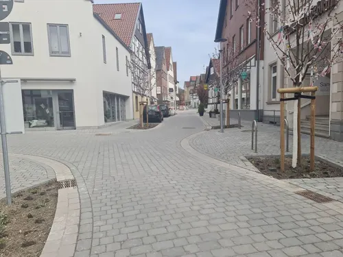
Haller ZeitRäume - Virtuelles Geschichtsmuseum der Stadt Halle Westfalen (Museumsbüro)
Museum
Das Geschichtsmuseum Haller ZeitRäume existiert derzeit nur virtuell. Eine Ausstellung befindet sich in den Räumlichkeiten hier NICHT!...
17 Bahnhofstraße, Halle (Westf.)
Sa[1,2,4] 10:00-12:00; Sa[3] closed
Bauer Bernd Grewe / Maislabyrinth & Fliegender Teppich
Monument and historic site · 5.0 km
Mo-Su 10:00-18:45

Haus Abeke
Monument and historic site
Dreischiffiges Längsdeelenhaus
13 Bahnhofstraße, Halle (Westf.)

Hof Ordelheide
Monument and historic site · 4.8 km
Denkmal: Hofhaus einschl. Backhaus
96 Sandforther Straße, Steinhagen
Kaffeemühle
Monument and historic site · 1.1 km
Https://www.haller-zeitraeume.de/geschichtspfade/geschichtspfad-kaffeemuehle
78 more on the map.
Parks, trails and playgrounds35





23 more on the map.
Restaurants and cafes99
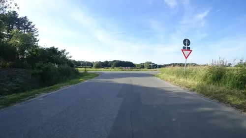
Haskenhoff's Schmiede
Restaurant · Regional · 4.6 km
Reine Eventlocation
24 Langenheider Straße, Werther (Westf.)
"only on-demand"
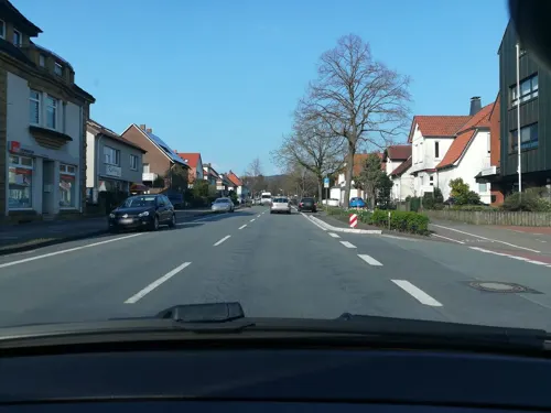
Hollmann
Restaurant · German · 0.7 km
20 Alleestraße, Halle (Westf.)
Tu-Fr 12:00-13:30, Mo-Sa 17:00-23:00+

Landgasthof Pappelkrug
Restaurant · German, Regional · 3.3 km
4 Pappelstraße, Halle (Westf.)
Mo-Su 17:30+; PH off
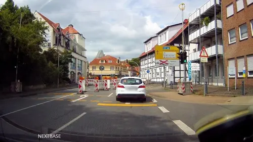
Aphrodite
Restaurant · Greek
1 Martin-Luther-Straße, Halle (Westf.)
Tu-Sa 18:00-23:00; Su 12:00-14:30,18:00-24:00; PH 12:00-14:30,18:00-23:00
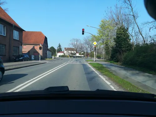
Beukens
Restaurant · Italian · 1.2 km
41 Alleestraße, Halle (Westf.)
Mo-Tu closed, We-Th 17:00-23:00, Fr-Sa 17:00+, Su 12:00-22:00
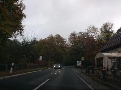
Gasthof Tatenhausen
Restaurant · Regional, German · 3.1 km
15 Versmolder Straße, Halle (Westf.)
Mo-Th closed, Fr-Su 12:00-20:30
Gaststätte Burg Ravensberg
Restaurant · Regional · 5.0 km
1 Burg Ravensberg, Borgholzhausen
We-Su 10:00-18:00
Grill Kavala
Restaurant · Pizza, Italian, Greek, German · 6.8 km
336 Babenhauser Straße, Bielefeld
Mo-Fr 11:00-22:00; Sa, Su, PH 12:00-22:00
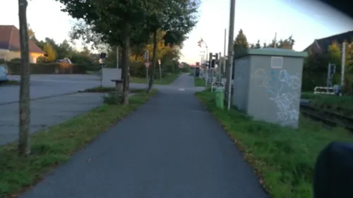
Grillwerk 2.0
Restaurant · Burger · 3.0 km
2 Teutoburger Straße, Halle (Westf.)
We-Fr 11:30-14:00, We-Sa 17:00-21:00, Su 16:00-21:00
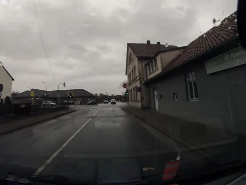
Il Amici
Restaurant · Pizza, Italian · 0.9 km
34 Alleestraße, Halle (Westf.)
We-Su,PH 11:30-14:30,17:30-21:30


Kreuzkrug
Restaurant · International · 6.4 km
462 Wertherstraße, Bielefeld
We-Su 11:00-14:30,17:30-22:00; Mo-Tu off
87 more on the map.
History
Halle is located in the Ravensberg Land or more specifically in the County of Ravensberg, deducted from the Burg Ravensberg located in the neighbouring community of Borgholzhausen. The vicissitudes of history were predominantly influenced by the bishops of Osnabrück, Napoleon and German emperors.
The area of the town and the former district of Halle formerly belonged to the Holy Roman Empire's County of Ravensberg. The latter was surrounded by the principalities of Osnabrück, Münster, Paderborn and Minden and was neighbouring the Principality of Lippe. In contrast to these principalities Ravensberg always has been secular estate, which at first belonged to the Counts of Ravensberg and later to their Jülich heirs. After this nobility also became extinct the county, along with others, came into possession of the house of Kleve-Mark and about a century later, via the Margraviate of Brandenburg, part of the kingdom of Prussia.
From the History section of Halle (Westfalen) on Wikipedia, under CC BY-SA 4.0.
Where to stay18
Churches and places of worship25
Shopping35
Gas and EV charging26
Schools, colleges and libraries26
Healthcare11
i.med Medizinisches Versorgungszentrum
Clinic and pharmacy · 1.6 km
8b Neulehenstraße, Halle (Westf.)
Tagesklinik für Allgemeine Psychiatrie u. Psychotherapie Halle (Westf.)
Clinic and pharmacy · 0.8 km
4a Moltkestraße, Halle (Westf.)
Map of Halle
250 places. The map loads OpenStreetMap tiles when you open it.
Getting there and nearby towns
Flugplatz Bielefeld (BFE) is the nearest airport with scheduled flights listed in OpenStreetMap, 16 km away.
- Werther 4 km northeast, about 4 min by car
- Steinhagen 7 km south, about 7 min by car
- Bielefeld 12 km east, about 12 min by car
- Spenge 12 km northeast, about 12 min by car
- Harsewinkel 14 km southwest, about 14 min by car
- Versmold 14 km west, about 14 min by car
- Hilter 17 km northwest, about 17 min by car
- Hiddenhausen 21 km northeast, about 21 min by car
- Herford 22 km east, about 22 min by car
- Verl 22 km southeast, about 22 min by car
Drive times are estimates from straight-line distance, not routes.
Local news
Headlines from INDB.
Reviews, tips and questions
Loading what members have shared...
Sources and licences
- GeoNames (CC BY 4.0): population, coordinates, regions and time zone
- Mapillary (see each image): photos
- OpenStreetMap contributors (ODbL 1.0): places, airports, map data
- Wikidata (CC0 1.0): elevation, founding date, time zone, website, landmarks and historic places
- Wikimedia Commons (see each image): photos
- Wikipedia (CC BY-SA 4.0): overview and history text
Photo credits
- Halle (Westf.) - Museum, Hagar66, CC BY-SA 3.0
- Halle Haller Willem Denkmal, Hagar66, Public domain
- Halle GS Haller Kreisblatt, Hagar66, Public domain
- Halle (Westf.) - St. Johannis Ansicht 1, Hagar66, CC BY-SA 3.0
- Ansicht Haller Herz von Sueden, WiebkeCBo, CC BY-SA 3.0
- Halle(Westf) - Bahnhofstrasse 10, Hagar66, CC BY-SA 3.0
- Halle (Westf.) - St. Johannis Ansicht 2, Hagar66, CC BY-SA 3.0
- Halle (Westf.) - Haus Brune, Bahnhofstraße 10, DeFra290185, CC BY-SA 4.0
- Halle (Westf.) - Kirchring südl. Teil, Hagar66, CC BY-SA 3.0
- Halle-(Westfalen) Naturschutzgebiete, Hagar66, Public domain
- Halle Nutzung, Hagar66, Public domain
- Halle geothermische Karte, Hagar66, CC BY-SA 3.0
- Halle (Westf.) - Rathaus I, Hagar66, CC BY-SA 3.0
- Halle (Westfalen) - Ehemaliges Kreishaus, Unknown author Unknown author, Public domain
- Halle Amtsgericht und Kriegerdenkmal, Hagar66, CC BY-SA 3.0
- Halle (Westfalen) - Partnerschaftsurkunde Valmiera, Hagar66, CC BY-SA 3.0
- Halle (Westfalen) - Partnerschafturkunde Ronchin, Hagar66, CC BY-SA 3.0
- Halle (Westfalen) - Kreis - Sitzungsstuhl, Hagar66, CC BY-SA 3.0
- Halle (Westfalen) - jüdischer Friedhof, Hagar66, CC BY-SA 3.0
- Halle (Westfalen) - NS-Denkmal, Hagar66, CC BY-SA 3.0
- Halle Remise, Hagar66, CC BY-SA 3.0
- Halle Schinkenhaus und Destille, Hagar66, CC BY-SA 3.0
- Brockhagen Evangelische Pfarrkirche, Daniel Brockpähler, CC BY-SA 3.0
- GerryWeberStadion, User:Drahreg01, CC BY-SA 3.0
- Borgholzhausen ev Kirche, Hagar66, Public domain
- Werther Jacobi3, Chris06, Public domain
- Werther (Westf.) - Rotenhagen Kirche, Hagar66, Public domain
- Halle (Westf) - Feuchtwiesen Hörste, Hagar66, CC BY-SA 3.0
- Borgholzhausen Ravensburg Wehrturm und Forsthaus, Hagar66, Public domain
- Steinhagen Kirche, Hagar66, CC BY-SA 3.0
- Halle (Westf.) - Hengeberg, Hagar66, CC BY-SA 3.0
- Steinhagen (Westfalen) - NSG Feuchtwiesen In den Wösten, Hagar66, CC BY-SA 3.0
- Halle (Westf.) - Eggeberg, Hagar66, CC BY-SA 3.0
- Halle Herz-Jesu-Kirche, Hagar66, CC BY-SA 4.0
- Naturschutzgebiet Hesselner Berge IMG 1923, Klaus Schmedtmann, CC0
- Steinhagen - NSG Jakobsberg - 1, Ath, CC0
- Halle (Westf.) - Kiskergrab, Hagar66, CC BY-SA 3.0
- Bielefeld Kirchdornberg, Am Tie 17, Peterskirche, 2013-03-24 HDR, G8w, CC BY-SA 3.0
- Halle kirche, Varus111, CC BY-SA 3.0
- Naturschutzgebiet Gartnischberg IMG 0637, Klaus Schmedtmann, CC0
- EggeNSG Steinhagen, Bielibob, CC BY-SA 3.0
- Steinhagen (Westfalen) - NSG Foddenbach Landbach, Hagar66, CC BY-SA 3.0
- Halle Westf Hellberg, Bielibob, CC BY-SA 4.0
- Naturschutzgebiet Knüll-Storkenberg IMG 0729, Klaus Schmedtmann, CC0
- Kirche Hörste, Varus111, CC BY 3.0
- Uni-Bi, Unknown author, CC BY-SA 3.0
- Street-level photo, flohoff, CC BY-SA 4.0
- Street-level photo, thorstenh, CC BY-SA 4.0
- Street-level photo, DeFra85, CC BY-SA 4.0
- Street-level photo, DeFra85, CC BY-SA 4.0
- Street-level photo, derlipper, CC BY-SA 4.0
- Street-level photo, VIA_KK, CC BY-SA 4.0
- Street-level photo, GlitchHunter, CC BY-SA 4.0
- Street-level photo, thorstenh, CC BY-SA 4.0
- Street-level photo, thorstenh, CC BY-SA 4.0
- Street-level photo, DeFra85, CC BY-SA 4.0
- Street-level photo, thetornado76, CC BY-SA 4.0
- Street-level photo, derlipper, CC BY-SA 4.0
- Street-level photo, thorstenh, CC BY-SA 4.0
- Street-level photo, DeFra85, CC BY-SA 4.0
- Street-level photo, thorstenh, CC BY-SA 4.0
- Street-level photo, thorstenh, CC BY-SA 4.0
- Street-level photo, derlipper, CC BY-SA 4.0
- Street-level photo, derlipper, CC BY-SA 4.0
- Street-level photo, thorstenh, CC BY-SA 4.0
- Street-level photo, derlipper, CC BY-SA 4.0
- Street-level photo, DeFra85, CC BY-SA 4.0
- Street-level photo, thorstenh, CC BY-SA 4.0
- Street-level photo, thorstenh, CC BY-SA 4.0
- Street-level photo, derlipper, CC BY-SA 4.0


Page built November 8, 2026. Spotted a mistake? Tell us or suggest a place.