


Why visit Heiden
Townapedia lists 79 museums and landmarks, 24 parks and trails, 99 places to eat, 10 places to stay and 13 attractions in and around town.
Highlights include Fier's Hof, Wildpark Frankenhof, Haus Döring and Nanes Malkaestchen.
Weather in Heiden
Forecast from MET Norway (CC BY 4.0). Full forecast
About Heiden
Heiden is a municipality in the district of Borken in the state of North Rhine-Westphalia, Germany. It is located approximately 5 km east of Borken.
From the Wikipedia article Heiden, Germany (this version), under CC BY-SA 4.0.
Things to do13
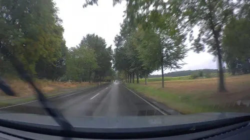
Fier's Hof
Farm and orchard · 6.0 km
4 Kreulkerhok, Reken
Tu-Fr 09:00-18:30; Sa 09:00-17:30; Su 09:00-18:30; Mo off

Wildpark Frankenhof
Zoo and aquarium · 6.1 km
32 Frankenstraße, Reken
Mar-Oct 09:00-18:00; Nov-Feb 10:00-17:00; Dec 24-25 off



1 more on the map.
Museums and landmarks79

Haus Döring
Monument and historic site · 5.5 km
5 Haus Döringweg, Borken
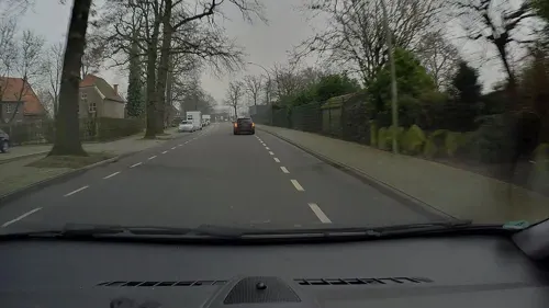


Galerie Kranenburg
Museum · 5.5 km
12 Heilig-Geist-Straße, Borken
Tu-Fr 09:00-12:30, 15:00-18:30; Sa 09:30-14:00


Holkensturm
Monument and historic site · 5.6 km
Auch bekannt als "Wülfingsturm" oder "Roter Turm" (Sitz der SPD)

67 more on the map.
Parks, trails and playgrounds24





Stadtpark Ramsdorf
Park · 6.4 km
Stadtpark entlang der Bocholter Aa mit Fischtreppe und zahlreichen Sitz- und Erholmöglichkeiten
24/7
12 more on the map.
Restaurants and cafes99

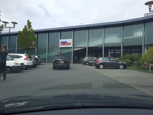
ChiMi Restaurant
Restaurant · Asian · 5.2 km
34 Heidener Straße, Borken
Mo-Th 11:00-22:00; Fr-Su 11:00-22:00

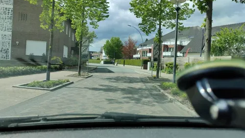
Landhotel Beckmann
Restaurant
7a Borkener Straße, Heiden
Oct-Apr: Mo,Tu,Fr 16:30+; Oct-Apr: We,Th off; May-Sep: Mo,Tu...
Restaurant Am alten Rathaus
Restaurant · Balkan · 5.5 km
14 Heilig-Geist-Straße, Borken
Tu-Fr,Su 11:30-14:30,17:00-22:00; Sa 17:00-22:00
Ristorante Bellini
Restaurant · Italian · 6.0 km
1 Freiheit, Borken
Tu-Th 16:00-23:00; Fr-Su 12:00-23:00; Mo off
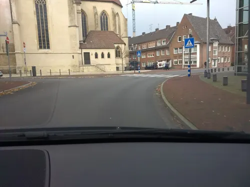
Taverana Toxotis
Restaurant · Greek · 5.3 km
12 Remigiusstraße, Borken
Tu-Sa 17:00-23:00; Su,PH 12:00-14:30,17:00-22:00; Mo off
Backstube Jägers
Bakery · 3.8 km
83 Landwehr, Borken
Mo-Fr 05:00-18:30; Sa 05:00-17:00; Su 07:00-17:00


Café Becher & Levi’s – Genuss-Stopp in Borken
Cafe · 5.3 km
2 Raesfelder Straße, Borken
Tu-Su 08:00-23:00

87 more on the map.
Where to stay10
Churches and places of worship17
St. Michael
Church · Roman Catholic · 4.3 km
87 Marbecker Straße, Borken
Shopping39
Gas and EV charging14
Schools, colleges and libraries20
Healthcare11
Map of Heiden
250 places. The map loads OpenStreetMap tiles when you open it.
Getting there and nearby towns
Flughafen Essen-Mülheim (ESS) is the nearest airport with scheduled flights listed in OpenStreetMap, 47 km away.
- Borken 5 km west, about 5 min by car
- Velen 8 km northeast, about 8 min by car
- Rhade 8 km south, about 8 min by car
- Raesfeld 9 km southwest, about 9 min by car
- Südlohn 14 km north, about 14 min by car
- Gescher 15 km north, about 15 min by car
- Rhede 16 km west, about 16 min by car
- Schermbeck 17 km south, about 17 min by car
- Stadtlohn 18 km north, about 18 min by car
- Dorsten 19 km south, about 19 min by car
Drive times are estimates from straight-line distance, not routes.
Local news
Headlines from INDB.
Reviews, tips and questions
Loading what members have shared...
Sources and licences
- GeoNames (CC BY 4.0): population, coordinates, regions and time zone
- Mapillary (see each image): photos
- OpenStreetMap contributors (ODbL 1.0): places, airports, map data
- Wikidata (CC0 1.0): elevation, founding date, time zone, website
- Wikimedia Commons (see each image): photos
- Wikipedia (CC BY-SA 4.0): overview and history text
Photo credits
- Heiden, gemeentehuis+kerk+bank foto5 2015-04-20 16.22, Michielverbeek, CC BY-SA 4.0
- Hasenbrunnen Borken-Heiden 2020-06-30 6466, Dr. W. Strickling, CC BY-SA 4.0
- Skulptur Schuhhändler Kirchplatz Borken-Heiden 2020-06-30 6469, Dr. W. Strickling, CC BY-SA 4.0
- St. Georg Heiden 2020-06-30 6471, Dr. W. Strickling, CC BY-SA 4.0
- Bildstock Rekener Str. 1, Heiden 2020-06-30 6465, Dr. W. Strickling, CC BY-SA 4.0
- Heiden, Gasthof in straatzicht foto4 2012-03-28 15.23, Michielverbeek, CC BY-SA 3.0
- Wegkreuz Parkstr. 7 Heiden-3113, User:Creosoph, CC BY-SA 4.0
- Heimathaus Heiden Heiden-3112, User:Creosoph, CC BY-SA 4.0
- Bildstock Hl. Kilian Heimathaus Heiden-3110, User:Creosoph, CC BY-SA 4.0
- Bildstock Hl. Kilian Heimathaus Heiden-3108, User:Creosoph, CC BY-SA 4.0
- Denkmal Partnerstadt Heiligenstadt Heiden 2020-06-30 6462, Dr. W. Strickling, CC BY-SA 4.0
- Bildstock Lembecker Str. 52, Heiden 2020-06-30 6472, Dr. W. Strickling, CC BY-SA 4.0
- Bildstock Surker Weg 2022-08-28 Heiden-120516, User:Creosoph, CC BY-SA 4.0
- Bildstock Vogelstange 2, Heiden 2020-06-30 6475, Dr. W. Strickling, CC BY-SA 4.0
- Wegkreuz Olle Borg - Birkenweg Heiden-3116, User:Creosoph, CC BY-SA 4.0
- Aerial image of Burg Gemen (view from the southwest), Carsten Steger, CC BY-SA 4.0
- Gut Engelrading Dezember 2016, Wik FGK, CC BY-SA 4.0
- Gemener Franziskanerkonvent und Kirche St. Marien, Borken (00520), Günter Seggebäing, Coesfeld, CC BY-SA 3.0
- Borken, Propsteipfarre Sankt Remigius foto8 2012-03-28 16.05, Michielverbeek, CC BY-SA 3.0
- BorJohann2, Netzhering, CC BY-SA 3.0
- Kranenmeer in Heiden, Cedrichoyer, CC BY-SA 3.0
- Martin-Luther-Kirche in Borken (Westfalen), Tetzemann, CC BY-SA 4.0
- Borken-Marbeck Haus Döring, Döringsweg 5 2018, Uwe Barghaan, CC BY-SA 3.0
- Düwelsteene (Heiden) 1, Günter Seggebäing, Coesfeld, Germany, CC BY-SA 3.0
- SchlossGemen01, Sir Gawain, CC BY-SA 3.0
- Panorama-Düwelsteene, Ökologix, CC BY-SA 3.0
- Borken, Sint-Remigiustsjerke, RomkeHoekstra, CC BY-SA 4.0
- Gemen, die Johannes Kirche foto3 202-03-28 16.30, Michielverbeek, CC BY-SA 3.0
- Aceria fraxinivora 181851296, bjoerns, CC BY-SA 4.0
- Lammersfeld-panorama, Cedrichoyer, CC BY-SA 4.0
- Street-level photo, Lowiekse, CC BY-SA 4.0
- Street-level photo, schalke_05, CC BY-SA 4.0
- Street-level photo, poxonline, CC BY-SA 4.0
- Street-level photo, poxonline, CC BY-SA 4.0
- Street-level photo, poxonline, CC BY-SA 4.0
- Street-level photo, geogladbecker, CC BY-SA 4.0
- Street-level photo, poxonline, CC BY-SA 4.0
- Street-level photo, schalke_05, CC BY-SA 4.0
- Street-level photo, geogladbecker, CC BY-SA 4.0
- Street-level photo, poxonline, CC BY-SA 4.0
- Street-level photo, poxonline, CC BY-SA 4.0
- Street-level photo, schalke_05, CC BY-SA 4.0
- Street-level photo, Lowiekse, CC BY-SA 4.0
- Street-level photo, poxonline, CC BY-SA 4.0
- Street-level photo, poxonline, CC BY-SA 4.0
- Street-level photo, geogladbecker, CC BY-SA 4.0


Page built November 9, 2026. Spotted a mistake? Tell us or suggest a place.