


Why visit Rhade
Townapedia lists 12 museums and landmarks, 7 parks and trails, 11 places to eat, 1 place to stay and 3 attractions in and around town.
Highlights include Schulte's Hof, Wolfsberg, Rhader Wassermühle and Pörtnerskrüz.
Weather in Rhade
Forecast from MET Norway (CC BY 4.0). Full forecast
Things to do3

Schulte's Hof
Farm and orchard
2 Schützenstraße, Dorsten
Th,Sa 09:00-13:00; Fr 09:00-13:00, 14:30-18:00

Museums and landmarks12


Pörtnerskrüz
Monument and historic site · 3.1 km
Verwitterter Bildstock, Baudenkmal Dorsten Nr. 93

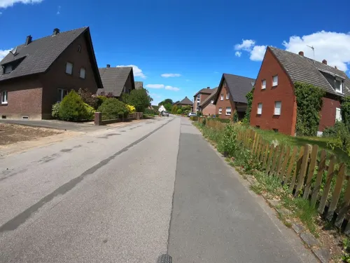
Rhader Geschichtstafeln: Am Mühlenteich 23 - Hügelgrab der Jungsteinzeit
Monument and historic site · 0.8 km
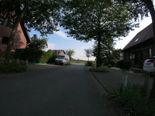
Rhader Geschichtstafeln: Schützenstraße - Die Fliehburg Hoß Kalverkamp
Monument and historic site · 0.7 km
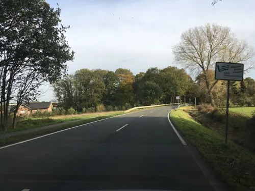
Denkmal 500 Jahre Rhade
Monument and historic site · 1.8 km
Findlling mit Bronzeplakette
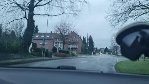


Parks, trails and playgrounds7





Restaurants and cafes11


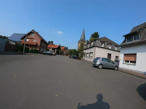
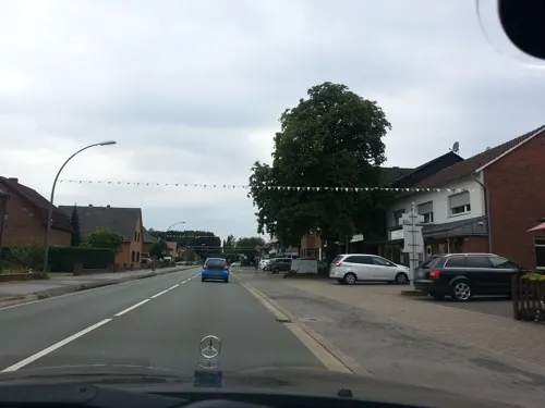
Bäckerei Konditorei Heine
Bakery · 0.6 km
113 Lembecker Straße, Dorsten
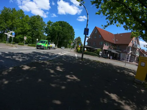
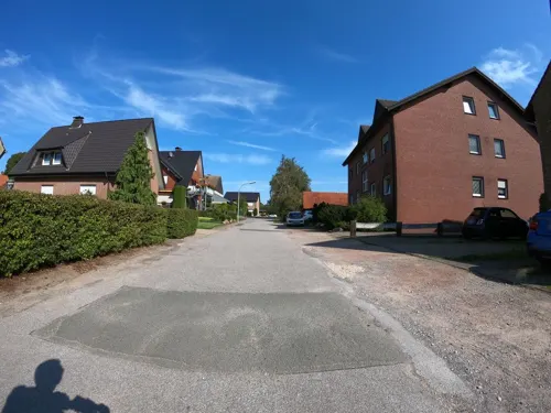
Bei Aladdin
Fast food · Turkish, Kebab, German, Italian · 1.5 km
185 Lembecker Straße, Dorsten
Tu-Su 12:00-22:15, PH Mo 12:00-22:15; Dec 24-25 off
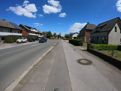
Casa Marabella bei Jonny
Fast food · Indian, Pizza, International
90 Lembecker Straße, Dorsten
We-Mo,PH 12:00-22:00; Tu 17:00-22:00

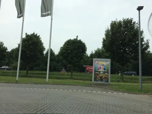


McDonald's
Fast food · Burger · 1.9 km
Su-Tu, Th 07:00-01:00; Fr-Sa 07:00-03:00; We 07:00-00:00
Where to stay1
Churches and places of worship4
Michaeliskapelle
Church · Catholic · 2.7 km
132 Rhader Straße, Dorsten
Shopping5
Gas and EV charging4
Schools, colleges and libraries2
Map of Rhade
49 places. The map loads OpenStreetMap tiles when you open it.
Getting there and nearby towns
Flughafen Essen-Mülheim (ESS) is the nearest airport with scheduled flights listed in OpenStreetMap, 39 km away.
- Raesfeld 6 km west, about 6 min by car
- Schermbeck 9 km southwest, about 9 min by car
- Dorsten 10 km south, about 10 min by car
- Borken 12 km northwest, about 12 min by car
- Marl 15 km southeast, about 15 min by car
- Velen 16 km north, about 16 min by car
- Haltern am See 17 km east, about 17 min by car
- Rhede 19 km northwest, about 19 min by car
- Gladbeck 20 km south, about 20 min by car
- Herten 22 km southeast, about 22 min by car
Drive times are estimates from straight-line distance, not routes.
Local news
Headlines from INDB.
Reviews, tips and questions
Loading what members have shared...
Sources and licences
- GeoNames (CC BY 4.0): population, coordinates, regions and time zone
- Mapillary (see each image): photos
- OpenStreetMap contributors (ODbL 1.0): places, airports, map data
- Wikidata (CC0 1.0): elevation, founding date, time zone, website
- Wikimedia Commons (see each image): photos
Photo credits
- Zentrum Rhade, Алексей Потупин ( Potupin ), Public domain
- Baudenkmal 34 St. Urbanus Ostansicht Dorsten-Rhade 2020-06-30 6336, Dr. W. Strickling, CC BY-SA 4.0
- Baudenkmal 34 St. Urbanus Nordostansicht Dorsten-Rhade 2020-06-30 6337, Dr. W. Strickling, CC BY-SA 4.0
- Friedhofskapelle Dorsten-Rhade 2020-06-30 6339, Dr. W. Strickling, CC BY-SA 4.0
- Baudenkmal 34 St. Urbanus Dorsten-Rhade- Fenster Dorsten-6330, User:Creosoph, CC BY-SA 4.0
- Baudenkmal 34 St. Urbanus Chorraum Dorsten-Rhade 2020-06-30 6331, Dr. W. Strickling, CC BY-SA 4.0
- Baudenkmal 34 St. Urbanus Dorsten-Rhade Dorsten-6331, User:Creosoph, CC BY-SA 4.0
- Baudenkmal 34 St. Urbanus Dorsten-Rhade- Fenster Dorsten-6328, User:Creosoph, CC BY-SA 4.0
- Dorfbrunnen Rhade 2020-06-30 6335, Dr. W. Strickling, CC BY-SA 4.0
- Baudenkmal 34 St. Urbanus Dorsten-Rhade 2020-06-30 6333, Dr. W. Strickling, CC BY-SA 4.0
- Bildstock Gelderner Str - Schützenstr. Dorsten-Rhade 2020-06-30 6355, Dr. W. Strickling, CC BY-SA 4.0
- Dorsten, Rhade, Umland -- 2014 -- 2000, Dietmar Rabich, CC BY-SA 4.0
- Dorsten, Rhade -- 2014 -- 1998, Dietmar Rabich, CC BY-SA 4.0
- Clp 20150405 4359 Bf Rhade Stw Rf, Christian Liebscher, CC BY-SA 4.0
- Clp 20150405 4361 Bf Rhade Stw Rf, Christian Liebscher, CC BY-SA 4.0
- Clp 20150405 4353 Bf Rhade Asig G, Christian Liebscher, CC BY-SA 4.0
- Clp 20150405 4356 Bf Rhade Asig G, Christian Liebscher, CC BY-SA 4.0
- Clp 20150405 4339 Bf Rhade Überblick, Christian Liebscher, CC BY-SA 4.0
- Clp 20150405 4351 Bf Rhade Asig F, Christian Liebscher, CC BY-SA 4.0
- Clp 20110614 Bf Rhade Bstg, Christian Liebscher ( Platte ), CC BY-SA 3.0
- Clp 20150405 4352 Bf Rhade DB Pluspunkt, Christian Liebscher, CC BY-SA 4.0
- Clp 20150405 4347 Bf Rhade Bstg, Christian Liebscher, CC BY-SA 4.0
- Clp 20150405 4345 Bf Rhade Bstg, Christian Liebscher, CC BY-SA 4.0
- Clp 20150405 4343 Bf Rhade Asig B+C, Christian Liebscher, CC BY-SA 4.0
- Dorsten, Rhade -- 2014 -- 1997, Dietmar Rabich, CC BY-SA 4.0
- Bildstock Haverkämper Weg 53, Dorsten-Rhade 2020-06-30 6325, Dr. W. Strickling, CC BY-SA 4.0
- Rhade St. Urbanus, Uwe Barghaan, CC BY-SA 3.0
- Kranenmeer in Heiden, Cedrichoyer, CC BY-SA 3.0
- 20160917 mk alpenstrandläufer 001, Matthias Kaiser, CC BY-SA 4.0
- Schwarzes Venn Deutener Moor, Daniel Ullrich, Threedots, CC BY-SA 3.0
- Dorsten-Lembeck – Michaeliskapelle Karmel St. Michael - panoramio (1), Edgar El, CC BY 3.0
- Rhader Mühle Lembecker Straße 140, Tetzemann, CC0
- Dorsten Monument 93 Bildstock Poertnerskruez Michaelisweg 12, W.Strickling, CC BY-SA 4.0
- Karmeliterkloster bei Lembeck St. Michael, Uwe Barghaan, CC BY-SA 3.0
- Dorsten Monument 62 Wohnhaus mit Stallgebaeude Lembecker Strasse 38, W.Strickling, CC BY-SA 4.0
- Dorsten Monument 61 Stallgebaeude Debbingstrasse 10, W.Strickling, CC BY-SA 4.0
- Dorsten Monument 86 Wohnhaus Debbingstr. 13, W.Strickling, CC BY-SA 4.0
- Dorsten Monument 97 Friedhofsportal, W.Strickling, CC BY-SA 4.0
- Dorsten Monument 87 Fachwerkhaus Urbanusring 10, W.Strickling, CC BY-SA 4.0
- Dorsten Monument 60 Wohnhaus Urbanusring 11, W.Strickling, CC BY-SA 4.0
- Hochkreuz Friedhof Dorsten-Rhade 2020-06-30 6341, Dr. W. Strickling, CC BY-SA 4.0
- Street-level photo, geogladbecker, CC BY-SA 4.0
- Street-level photo, geogladbecker, CC BY-SA 4.0
- Street-level photo, geogladbecker, CC BY-SA 4.0
- Street-level photo, geogladbecker, CC BY-SA 4.0
- Street-level photo, ziltoidium, CC BY-SA 4.0
- Street-level photo, Efehn, CC BY-SA 4.0
- Street-level photo, geogladbecker, CC BY-SA 4.0
- Street-level photo, poxonline, CC BY-SA 4.0
- Street-level photo, geogladbecker, CC BY-SA 4.0
- Street-level photo, geogladbecker, CC BY-SA 4.0
- Street-level photo, geogladbecker, CC BY-SA 4.0
- Street-level photo, poxonline, CC BY-SA 4.0
- Street-level photo, ziltoidium, CC BY-SA 4.0
- Street-level photo, mapnrw, CC BY-SA 4.0
- Street-level photo, geogladbecker, CC BY-SA 4.0
- Street-level photo, geogladbecker, CC BY-SA 4.0
- Street-level photo, diecookieente, CC BY-SA 4.0
- Street-level photo, diecookieente, CC BY-SA 4.0
- Street-level photo, gdm, CC BY-SA 4.0
- Street-level photo, geogladbecker, CC BY-SA 4.0
- Street-level photo, geogladbecker, CC BY-SA 4.0
- Street-level photo, diecookieente, CC BY-SA 4.0


Page built November 9, 2026. Spotted a mistake? Tell us or suggest a place.