


Höhr-Grenzhausen, Germany
Höhr-Grenzhausen is a town of 9,794 people in Rheinland-Pfalz, Germany.
Why visit Höhr-Grenzhausen
Townapedia lists 20 museums and landmarks, 13 parks and trails, 33 places to eat, 7 places to stay and 19 attractions in and around town.
Highlights include Moorsberg, Reitert, Grenzstein KP_HN - Läufer and Keramikmuseum.
Weather in Höhr-Grenzhausen
Forecast from MET Norway (CC BY 4.0). Full forecast
About Höhr-Grenzhausen
Höhr-Grenzhausen (German pronunciation: [ˌhøːɐ̯ɡʁɛntsˈhaʊzn̩] ) is a town in the Westerwaldkreis in Rhineland-Palatinate, Germany. It is a centre for the ceramic industry in the Kannenbäckerland with a professional college for ceramics, another for ceramic form, and many others, hence the nickname Kannenbäckerstadt (roughly, “Jug Baking Town”).
From the Wikipedia article Höhr-Grenzhausen (this version), under CC BY-SA 4.0.
Photos of Höhr-Grenzhausen


Things to do19

7 more on the map.
Museums and landmarks20
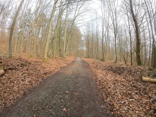

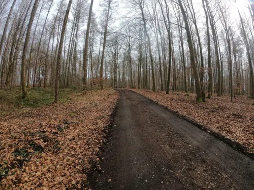

Limesturm Wp 1/68 Hillscheid
Monument and historic site · 2.5 km
Rekonstruktion. Im Turm befindet sich ein kleines Museum mit Wandbildern im Aufgang und Exponaten im Obergeschoß. Öffnungszeiten stammen...
Apr-Oct: Sa-Su,PH 14:00-17:00 || "nach Vereinbarung"



ehemalige Senfmühle "Mostermühle", 1914 abgebrannt
Monument and historic site · 1.1 km
8 more on the map.
Parks, trails and playgrounds13



Spielplatz Katharina-Kasper-Straße
Playground · 0.8 km
15a Katharina-Kasper-Straße

1 more on the map.
Restaurants and cafes33
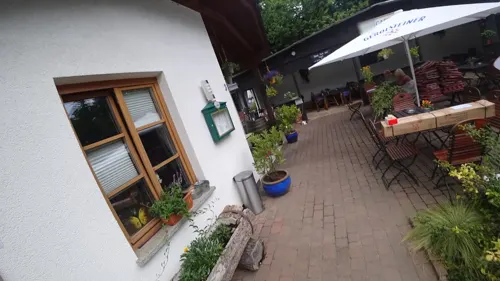
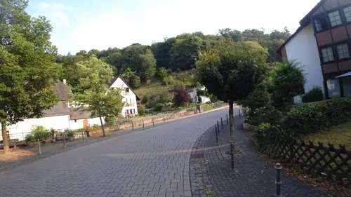
Landgasthof Zur Burg Grenzau
Restaurant · Regional · 2.0 km
13 Burgstraße, Höhr-Grenzhausen
Mo-Fr 17:00-22:00; Sa,Su,PH 12:00-22:00
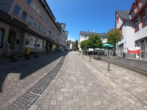
Restaurante Pizzeria Di Vino
Restaurant · Pizza, Italian
10 Rathausstraße, Höhr-Grenzhausen
Tu-Su 12:00-14:30,17:00-22:30; Mo off||PH 12:00-14:30,17:00-22:30
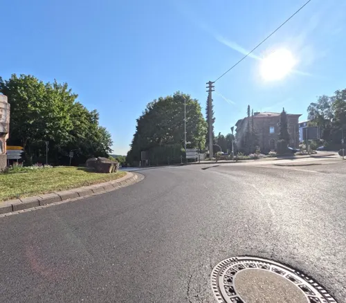
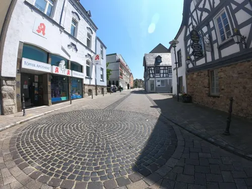
Schützenhof bei Pino
Restaurant · Pizza, Italian
Restaurant in historischem Gebäude mit sehr schönem Biergarten
Mo-Tu,Th-Su 12:00-14:30,17:30-22:30
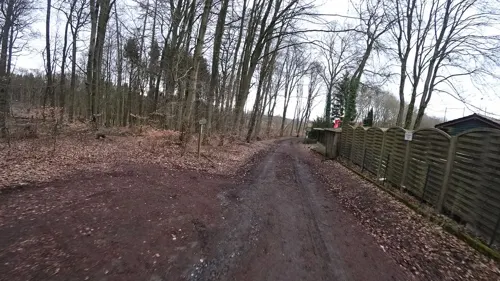
Waldgaststube Flürchen
Restaurant · Regional, International · 1.7 km
78 Bergstraße, Höhr-Grenzhausen
Mo 17:00-22:00; We-Sa 12:00-22:00; Su,PH 11:00-22:00; Tu off
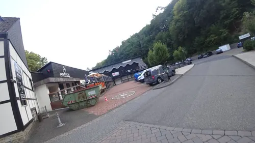
BREXX
Restaurant · 2.0 km
11-17 Brexbachstraße, Höhr-Grenzhausen
Mo-Th 17:00-24:00; Fr 14:00-01:00; Sa 12:00-01:00; Su,PH 12:00-23:00
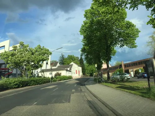
Museumscafé Creativ
Cafe · 1.3 km
13 Lindenstraße, Höhr-Grenzhausen
Tu-Sa 10:00-17:00; Su,PH 10:00-17:30
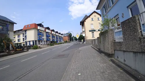
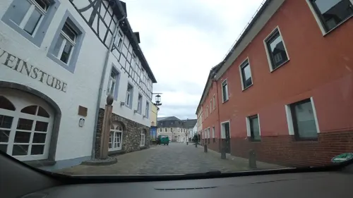
Weiler Fleischerei Bistro
Cafe · Bistro · 1.0 km
13 Hermann-Geisen-Straße, Höhr-Grenzhausen
Tu-Fr 09:00-17:00; Sa 09:00-12:00; Su-Mo off; PH off; 24/7 off...

Meurer's Stadtcafé
Cafe
Bäckerei mit Cafè
35 Rathausstraße
We 06:30-17:00; Sa 06:30-13:00; Su,PH 08:00-17:00; Dec 25-Dec 26,Jan 01 off

Taberna Española
Restaurant · Spanish, Tapas · 1.0 km
4-10 Hermann-Geisen-Straße, Höhr-Grenzhausen
Tu-Su 12:00-15:00,17:30-24:00; Mo off
21 more on the map.
More about Höhr-Grenzhausen
Economy
RASTAL GmbH & Co. KG, which is a business established in Höhr-Grenzhausen, is one of Europe's biggest manufacturers of decorated drinking vessels, especially beer glasses.
Since the 1500s, the area has been one of the most productive salt-glazed pottery centers in Europe. In the mid 16th century, potters from Raeren in Belgium migrated into the Westerwald, bringing with them some of their moulds. This type of pottery was taken to the New World and was found in the early Chesapeake settlements.
Gray Westerwald pottery is easily recognized with its curling blue flourishes, often in simple floral and leaf patterns. It is still molded by hand and fired in wood-burning kilns throughout the area. The town-wall is decorated all along its full length with huge ceramic pots made by various potters of the area. The International Ceramics Market & Museum Festival is held the first weekend in June, featuring around 150 exhibitors from all over Europe, including Spain, France, Belgium, The Netherlands, Poland and Hungary.
There were train stations in Höhr-Grenzhausen center and also in district Grenzau, which is located at the Engers–Au railway, but both are currently out of service.
Arts and culture
In the town are found the Westerwald Ceramics Museum (Keramikmuseum Westerwald) and a museum of the town's history.
Limes Germanicus, a UNESCO World Heritage site, in particular the Ferbach fort
Höhr-Grenzhausen's outlying centre of Grenzau is home to the TTC Zugbrücke Grenzau, a table tennis club involved in Bundesliga play. Likewise, the Rhineland-Palatinate table tennis Olympic base is found here.
From the Wikipedia article Höhr-Grenzhausen, under CC BY-SA 4.0.
Where to stay7
Churches and places of worship5
Anbetungskirche
Church · Roman Catholic · 3.8 km
6 Berg Schönstatt, Vallendar
Shopping9
Gas and EV charging3
Schools, colleges and libraries9
Healthcare3
Apotheke am Park
Clinic and pharmacy · 1.0 km
19 Schillerstraße, Höhr-Grenzhausen
Map of Höhr-Grenzhausen
121 places. The map loads OpenStreetMap tiles when you open it.
Getting there and nearby towns
Siegerlandflughafen (SGE) is the nearest airport with scheduled flights listed in OpenStreetMap, 42 km away.
- Vallendar 5 km southwest, about 5 min by car
- Bendorf 6 km west, about 6 min by car
- Wirges 10 km northeast, about 10 min by car
- Koblenz 11 km southwest, about 11 min by car
- Montabaur 11 km east, about 11 min by car
- Mülheim-Kärlich 13 km southwest, about 13 min by car
- Neuwied 14 km west, about 14 min by car
- Lahnstein 15 km south, about 15 min by car
- Weißenthurm 16 km west, about 16 min by car
- Nassau 16 km southeast, about 16 min by car
Drive times are estimates from straight-line distance, not routes.
Towns near Höhr-Grenzhausen


Local news
Headlines from INDB.
Reviews, tips and questions
Loading what members have shared...
Sources and licences
- GeoNames (CC BY 4.0): population, coordinates, regions and time zone
- Mapillary (see each image): photos
- OpenStreetMap contributors (ODbL 1.0): places, airports, map data
- Wikidata (CC0 1.0): elevation, founding date, time zone, website, landmarks and historic places
- Wikimedia Commons (see each image): photos
- Wikipedia (CC BY-SA 4.0): overview and history text
Photo credits
- Höhr-Grenzhausen, Luftaufnahme (2014), Wolkenkratzer, CC BY-SA 4.0
- Höhr-Grenzhausen, stadhuis IMG 2240 2024-05-31 13.34, Michielverbeek, CC BY 4.0
- Stammsitz der Steuler-Gruppe in Höhr-Grenzhausen, Janina Duch, CC BY-SA 4.0
- Shell Station Höhr-Grenzhausen, Teleschinken, CC BY-SA 4.0
- Wanderkarte Flürchen - Höhr-Grenzhausen, LightSpirit888, CC0
- Wanderkarte Wandern rund um den Köppel - Höhr-Grenzhausen, LightSpirit888, CC0
- Grillhütte Flürchen - Höhr-Grenzhausen, LightSpirit888, CC0
- Vallendar Marienburg 86, Reinhardhauke, CC BY-SA 3.0
- Schönstatt - Aanbiddingskerk, RomkeHoekstra, CC BY-SA 3.0
- Grenzau Burg, Historiograf, CC BY 2.0
- HoehrGrenzhausenGrenzhausenKeramikmuseum2, LigaDue, CC BY-SA 4.0
- HoehrGrenzhausenKleinkastellFerbach4, LigaDue, CC BY-SA 4.0
- HilgertEvangelischeKirche3, LigaDue, CC BY-SA 4.0
- Wachtposten 1 68 Hillscheid, No machine-readable author provided. Schwing~commonswiki assumed (based on copyright claims)., Public domain
- Burg Grenzau 014, Wolkenkratzer, CC BY-SA 4.0
- Hoehr Grenzhausen Keramikmuseum, Klaus Graf, CC BY 2.0
- Rathausstrasse-hoehr-grenzhausen, Hinterhofagentur, CC BY-SA 4.0
- Hoehr-Grenzhausen Toepferstrasse, El tommo, CC0
- Salzbrand-Kannofen, erbaut von Elfriede Balzar-Kopp ca. 1929, Michael Löhr Höhr-Grenzhausen, CC BY-SA 4.0
- Eulerware, Vorratsgefäß Häfen, Michael Löhr Höhr-Grenzhausen, CC BY-SA 4.0
- Vorratsbehälter, Steinzeug, Häfen, halbhohe Form mit 2 Henkeln, Michael Löhr Höhr-Grenzhausen, CC BY-SA 4.0
- Die Flucht, Marianne Popp, CC0
- Vogel-Wandteller mit Red und Knibisdekor, Elfriede Balzar-Kopp, CC0
- Grenzhausen, de evangelische kerk Dm IMG 2248 2024-05-31 13.48, Michielverbeek, CC BY 4.0
- 20201230 172130 mfnr, Michael Löhr Höhr-Grenzhausen, CC BY-SA 4.0
- Hoehr-Grenzhausen Brunnenstrasse, El tommo, CC0
- A48 bei Hilgert - geo-en.hlipp.de - 12165, Sebastian und Kari, CC BY-SA 2.0
- Hoehr-Grenzhausen ViewWest2, El tommo, CC0
- Hoehr-Grenzhausen ViewWest1, El tommo, CC0
- A48 bei Parkplatz Seelbachwiese - geo-en.hlipp.de - 12167, Sebastian und Kari, CC BY-SA 2.0
- Street-level photo, bernd1960, CC BY-SA 4.0
- Street-level photo, bernd1960, CC BY-SA 4.0
- Street-level photo, bernd1960, CC BY-SA 4.0
- Street-level photo, bernd1960, CC BY-SA 4.0
- Street-level photo, kalcaaro, CC BY-SA 4.0
- Street-level photo, slp_gho, CC BY-SA 4.0
- Street-level photo, slpaxe, CC BY-SA 4.0
- Street-level photo, slpaxe, CC BY-SA 4.0
- Street-level photo, slpaxe, CC BY-SA 4.0
- Street-level photo, slpaxe, CC BY-SA 4.0
- Street-level photo, slpaxe, CC BY-SA 4.0
- Street-level photo, bernd1960, CC BY-SA 4.0
- Street-level photo, slpaxe, CC BY-SA 4.0
- Street-level photo, slpaxe, CC BY-SA 4.0
- Street-level photo, wizonede, CC BY-SA 4.0
- Street-level photo, bernd1960, CC BY-SA 4.0
- Street-level photo, slpaxe, CC BY-SA 4.0
- Street-level photo, slpaxe, CC BY-SA 4.0
- Street-level photo, slpaxe, CC BY-SA 4.0
- Street-level photo, slpaxe, CC BY-SA 4.0
- Street-level photo, slpaxe, CC BY-SA 4.0
- Street-level photo, kalcaaro, CC BY-SA 4.0
- Street-level photo, slpaxe, CC BY-SA 4.0
- Street-level photo, bernd1960, CC BY-SA 4.0
- Street-level photo, bernd1960, CC BY-SA 4.0
- Street-level photo, chuck, CC BY-SA 4.0
- Street-level photo, wizonede, CC BY-SA 4.0
- Street-level photo, slpaxe, CC BY-SA 4.0


Page built November 9, 2026. Spotted a mistake? Tell us or suggest a place.