


Jüngersdorf, Germany
Jüngersdorf is a town of 1,750 people in North Rhine-Westphalia, Germany.
Why visit Jüngersdorf
Townapedia lists 41 museums and landmarks, 15 parks and trails, 16 places to eat and 5 attractions in and around town.
Highlights include Halde Nierchen, Hülsenberg, Töpfereimuseum and Schloss Merode.
Weather in Jüngersdorf
Forecast from MET Norway (CC BY 4.0). Full forecast
Things to do5




Museums and landmarks41


Laufenburg
Monument and historic site · 2.5 km
1 Laufenburg, Langerwehe



29 more on the map.
Parks, trails and playgrounds15



3 more on the map.
Restaurants and cafes16
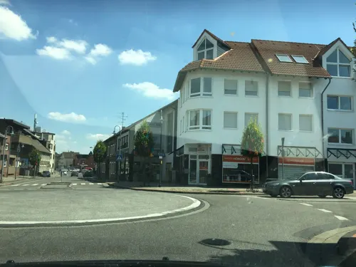
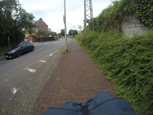
Mediterran
Restaurant · 1.2 km
17 Ulhausgasse, Langerwehe
Mo off; Tu-Sa 11:30-14:30,17:30-23:00; Su,PH 11:30-23:00
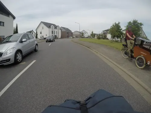
Ristorante Pizzeria La Vita
Restaurant · Italian
49 Am Weiherhof, Langerwehe
Tu-Th,Su 11:00-22:00, Fr-Sa 11:00-23:00
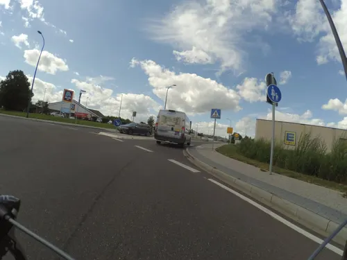

Wettstein's Restaurant, Merode
Restaurant · 2.1 km
66 Schloßstraße, Langerwehe
We-Sa 12:00-14:00,17:00-22:00; Su 12:00-22:00
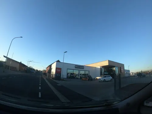
Bäckerei Schneider
Bakery · 2.6 km
20 Eifelstraße, Langerwehe
Mo-Sa 06:00-19:00; Su 07:00-14:00




4 more on the map.
Churches and places of worship13
Kapelle zur Hl. Bernadette
Church · Catholic · 1.2 km
17 Beethovenstraße, Langerwehe
Pfarrkirche St. Martin
Church · Catholic · 1.2 km
75 Hauptstraße, Langerwehe
Shopping8
Eisen- und Haushaltswaren Wirtz
Hardware store · 1.0 km
120 Hauptstraße, Langerwehe
Gas and EV charging1
Schools, colleges and libraries3
Healthcare1
Map of Jüngersdorf
103 places. The map loads OpenStreetMap tiles when you open it.
Getting there and nearby towns
Flugplatz Würselen-Aachen (AAH) is the nearest airport with scheduled flights listed in OpenStreetMap, 13 km away.
- Langerwehe 2 km west, about 2 min by car
- Inden 4 km north, about 4 min by car
- Eschweiler 7 km west, about 7 min by car
- Düren 8 km east, about 8 min by car
- Niederzier 10 km northeast, about 10 min by car
- Stolberg 11 km west, about 11 min by car
- Kreuzau 11 km southeast, about 11 min by car
- Niedermerz 11 km northwest, about 11 min by car
- Jülich 12 km north, about 12 min by car
- Alsdorf 16 km northwest, about 16 min by car
Drive times are estimates from straight-line distance, not routes.
Local news
Headlines from INDB.
Reviews, tips and questions
Loading what members have shared...
Sources and licences
- GeoNames (CC BY 4.0): population, coordinates, regions and time zone
- Mapillary (see each image): photos
- OpenStreetMap contributors (ODbL 1.0): places, airports, map data
- Wikidata (CC0 1.0): elevation, founding date, time zone, website
- Wikimedia Commons (see each image): photos
Photo credits
- Langerwehe-Jüngersdorf Denkmal-Nr. 15, Kapellenstraße 40 (1141), Käthe und Bernd Limburg, www.limburg-bernd.de, CC BY-SA 3.0 de
- Karlsburg Kammerbusch, Langerwehe (8), ArthurMcGill, CC BY-SA 4.0
- Luftaufnahme Laufenburg 2025-06-09-5, NDG, CC BY-SA 4.0
- Langerwehe-Merode Denkmal-Nr. 18, Kreuzherrenstr. 1 (1146), Käthe und Bernd Limburg, www.limburg-bernd.de, CC BY-SA 3.0 de
- Langerwehe Denkmal-Nr. 3, Pastoratsweg 1 (1119), Käthe und Bernd Limburg, www.limburg-bernd.de, CC BY-SA 3.0 de
- Nikolauskapelle (Geich) 02, Thomas Hummel, CC BY-SA 4.0
- Halde Nierchen Gesamtsicht, EveryPicture, CC BY-SA 3.0
- Alte Kirche auf dem Rymelsberg (Langerwehe) 01, Thomas Hummel, CC BY-SA 4.0
- Langerwehe, kerk foto6 2011-03-24 13.13, Michielverbeek, CC BY-SA 3.0
- Jüngersdorf, No machine-readable author provided. Papa1234 assumed (based on copyright claims)., Public domain
- St. Martinus Schlich 1, Kilind, CC BY-SA 4.0
- Kalkofen NSG östl. Schönthal, Langerwehe, ArthurMcGill, CC BY-SA 4.0
- Laufenburg, Langerwehe (1), ArthurMcGill, CC BY-SA 4.0
- WK Schlossstraße 4, Düren-Merode, ArthurMcGill, CC BY-SA 4.0
- Stolperstein Albert Levy, Hauptstraße 64, Langerwehe-7799, Raimond Spekking, CC BY-SA 4.0
- Stolperstein Anneliese Höxter, Hauptstraße 83, Langerwehe-7791, Raimond Spekking, CC BY-SA 4.0
- 2007 0429 Langerwehe Bismarckdenkmal, Martincf78, CC BY 3.0
- Landschaftsgarten Kammerbusch, Langerwehe (7), ArthurMcGill, CC BY-SA 4.0
- Bernadettekapelle Obergeich 1, Kilind, CC BY-SA 4.0
- Langerwehe Denkmal-Nr. 11, An Gut Kammerbusch (1137), Käthe und Bernd Limburg, www.limburg-bernd.de, CC BY-SA 3.0 de
- Luftaufnahme Karlsburg Landschaftsgarten Kammerbusch 2025-08-16-2, NDG, CC BY-SA 4.0
- Geich, Poema66, CC BY-SA 3.0
- Luftaufnahme Halde Nierchen 2025-08-10, NDG, CC BY-SA 4.0
- Marienkapelle Jüngersdorf, Cyberolm, CC BY-SA 4.0
- Stolperstein Josef Levy, Hauptstraße 185, Langerwehe-7775, Raimond Spekking, CC BY-SA 4.0
- Stolperstein Else Levy, Hauptstraße 185, Langerwehe-7776, Raimond Spekking, CC BY-SA 4.0
- Gedenkstein Pier, OV Pier, CC BY-SA 4.0
- Pier Pierer Strasse, Cyberolm, CC BY-SA 4.0
- Luftaufnahme Stadion Langerwehe 2025-07-27-1, NDG, CC BY-SA 4.0
- Luftaufnahme Aula Gesamtschule Langerwehe 2025-07-27-1, NDG, CC BY-SA 4.0
- Luftaufnahme Aula Gesamtschule Langerwehe 2025-07-27-4, NDG, CC BY-SA 4.0
- Stolpersteine Koppel und Wallach, Hauptstraße 189, Langerwehe-7766, Raimond Spekking, CC BY-SA 4.0
- Stolperstein Manfred Wallach, Hauptstraße 189, Langerwehe-7771, Raimond Spekking, CC BY-SA 4.0
- Stolperstein Meier Wallach, Hauptstraße 189, Langerwehe-7769, Raimond Spekking, CC BY-SA 4.0
- Stolperstein Irma Wallach, Hauptstraße 189, Langerwehe-7770, Raimond Spekking, CC BY-SA 4.0
- Stolperstein Emma Koppel, Hauptstraße 189, Langerwehe-7768, Raimond Spekking, CC BY-SA 4.0
- Stolperstein Ernst Max Wallach, Hauptstraße 189, Langerwehe-7772, Raimond Spekking, CC BY-SA 4.0
- Stolpersteine Nathan und Levy, Hauptstraße 185, Langerwehe-7773, Raimond Spekking, CC BY-SA 4.0
- Stolperstein Emilie Nathan, Hauptstraße 185, Langerwehe-7774, Raimond Spekking, CC BY-SA 4.0
- Luftaufnahme Aula Gesamtschule Langerwehe 2025-07-27-3, NDG, CC BY-SA 4.0
- Street-level photo, tordans, CC BY-SA 4.0
- Street-level photo, mfa, CC BY-SA 4.0
- Street-level photo, noel, CC BY-SA 4.0
- Street-level photo, mfa, CC BY-SA 4.0
- Street-level photo, tordans, CC BY-SA 4.0
- Street-level photo, noel, CC BY-SA 4.0
- Street-level photo, peewee32, CC BY-SA 4.0
- Street-level photo, peewee32, CC BY-SA 4.0
- Street-level photo, tordans, CC BY-SA 4.0
- Street-level photo, tordans, CC BY-SA 4.0
- Street-level photo, tordans, CC BY-SA 4.0
- Street-level photo, peewee32, CC BY-SA 4.0
- Street-level photo, tobiasreg, CC BY-SA 4.0
- Street-level photo, tobiasreg, CC BY-SA 4.0
- Street-level photo, tobiasreg, CC BY-SA 4.0
- Street-level photo, peewee32, CC BY-SA 4.0
- Street-level photo, tobiasreg, CC BY-SA 4.0
- Street-level photo, noel, CC BY-SA 4.0


Page built November 9, 2026. Spotted a mistake? Tell us or suggest a place.