


Kranenburg, Germany
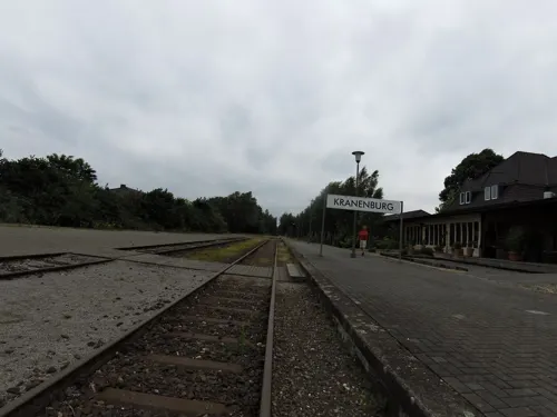
Kranenburg is a town of 5,090 people in North Rhine-Westphalia, Germany.
Why visit Kranenburg
Townapedia lists 32 museums and landmarks, 40 parks and trails, 40 places to eat, 14 places to stay and 38 attractions in and around town.
Highlights include Aurora Kaas GmbH, Bauernladen Hebben, Alte Mühle Donsbrüggen and Seniorenhaus Burg Ranzow.
Weather in Kranenburg
Forecast from MET Norway (CC BY 4.0). Full forecast
About Kranenburg
Kranenburg (German pronunciation: [ˈkʁaːnənbʊʁk]) is a municipality in the district of Cleves in the state of North Rhine-Westphalia, Germany. It is located near the border with the Netherlands, 12 kilometres (7 mi) south-east of Nijmegen and 11 kilometres (7 mi) west of Cleves.
From the Wikipedia article Kranenburg, North Rhine-Westphalia (this version), under CC BY-SA 4.0.
Things to do38

Aurora Kaas GmbH
Farm and orchard · 2.7 km
Familienkäserei seit 1980, Biokäse aus Kuh-Schaf-oder Ziegenmilch
55 Im Hammereisen, Kranenburg
Th-Fr 10:00-19:00, Sa 10:00-14:00
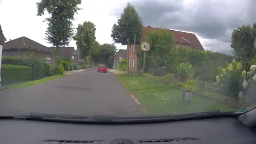
Bauernladen Hebben
Farm and orchard · 1.0 km
Familienbetrieb; Frischfleisch, Gemüse, Obst, Eier, Kartoffeln, Milchprodukte
17 Gocher Straße, Kranenburg
Mo-Fr 08:00-12:30,14:00-18:30; Sa 08:00-16:00
Biolandhof Eva Vierboom
Farm and orchard · 3.8 km
Hofladen, Biobäckerei, Brot, Eier, Fleisch, Gemüse, Kartoffeln
62 Hauptstraße, Kranenburg
Tu-Fr 09:00-17:30, Sa 09:00-13:00
Hofmolkerei Speetenhof
Farm and orchard · 4.6 km
Lieferservice, Direktvertrieb, Familienbetrieb
120 Wibbeltstraße, Kranenburg
Mo-Sa 08:00-19:00
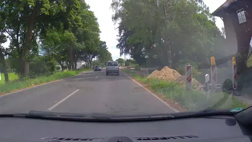
Bioland Hofgemeinschaft Richtersgut
Farm and orchard · 1.9 km
41 Nimweger Straße, Kranenburg
Sa 10:00-12:00
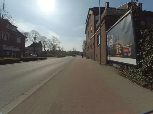
XOX-Theater Kleve
Cinema and theater · 9.0 km
Theatre in Kleve, Germany



26 more on the map.
Museums and landmarks32


Mook War Cemetery
Monument and historic site · 9.6 km
CWGC cemetery in Netherlands


Wereldmuseum Berg en Dal
Museum · 8.1 km
Museum in Berg en Dal, the Netherlands


20 more on the map.
Parks, trails and playgrounds40





28 more on the map.
Restaurants and cafes40
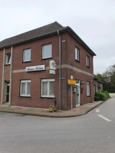
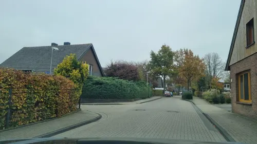
Panna&Cioccolato
Ice cream · 3.4 km
Opened März -Oktober, check website.
2 Binnenfeld, Kranenburg
Mo-Su 12:00-22:00, 12:00-20:30, 15:00-20:30
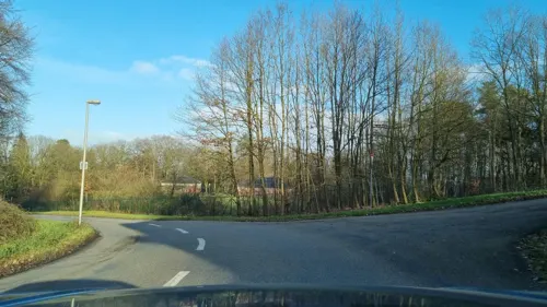

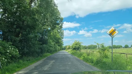
Hofcafé Lindenhof
Cafe · 4.8 km
6 Landstraße, Kranenburg
May-Sep: We-Su 11:00-18:00; May-Sep: Mo,Tu off; Oct-Apr: Sa-Su,PH...
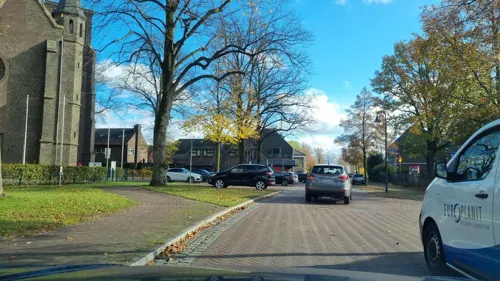

Berliner Grillstube
Restaurant · German · 6.6 km
51 Berliner Straße, Kleve
Mo-Fr 12:30-14:00,17:00-22:00; Sa,Su 17:00-22:00
Heicks & Teutenberg
Bakery · 6.6 km
1 Gemeindeweg, Kleve
Mo-Fr 06:00-19:00; Sa 06:00-14:00; Su 07:00-12:30
Horsthemke
Bakery · 0.8 km
9-17 Großen Haag, Kranenburg
Mo-Fr 08:00-18:00; Sa 08:00-16:00; Su 08:00-14:00


28 more on the map.
Where to stay14
Churches and places of worship16
Sankt Bonifatius
Church · Roman Catholic · 4.7 km
1 Kranenburger Straße, Kranenburg
St. Johannes Baptist, Neue Kirche
Church · Baptist · 4.4 km
3a Krumme Straße, Kranenburg
Shopping16
Gas and EV charging8
Schools, colleges and libraries7
Marienschule, katholische Grundschule Materborn
School · Catholic · 6.3 km
169 Königsallee, Kleve
St. Georg-Schule, katholische Grundschule Nütterden
School · Catholic · 3.4 km
16 Hoher Weg, Kranenburg
St. Michael Schule, katholische Grundschule Reichswalde
School · Catholic · 6.1 km
1a, 1b Mönnekenwald, Kleve
Christopherus-Schule, Gemeinschaftsgrundschule
School · 1.0 km
1 Zum Hallenbad, Kranenburg
Healthcare5
Map of Kranenburg
216 places. The map loads OpenStreetMap tiles when you open it.
Getting there and nearby towns
Airport Weeze (NRN) is the nearest airport with scheduled flights listed in OpenStreetMap, 22 km away.
- Kleve 8 km east, about 8 min by car
- Pfalzdorf 13 km southeast, about 13 min by car
- Goch 15 km southeast, about 15 min by car
- Kalkar 20 km east, about 20 min by car
- Weeze 21 km southeast, about 21 min by car
- Uedem 22 km southeast, about 22 min by car
- Rees 26 km east, about 26 min by car
- Kevelaer 27 km southeast, about 27 min by car
- Isselburg 31 km east, about 31 min by car
- Xanten 33 km southeast, about 33 min by car
Drive times are estimates from straight-line distance, not routes.
Local news
Headlines from INDB.
Reviews, tips and questions
Loading what members have shared...
Sources and licences
- GeoNames (CC BY 4.0): population, coordinates, regions and time zone
- Mapillary (see each image): photos
- OpenStreetMap contributors (ODbL 1.0): places, airports, map data
- Wikidata (CC0 1.0): elevation, founding date, time zone, website, landmarks and historic places
- Wikimedia Commons (see each image): photos
- Wikipedia (CC BY-SA 4.0): overview and history text
Photo credits
- Kranenburg Klever Straße PM18-02, Pieter Delicaat, CC BY-SA 4.0
- 2022-06-11 Tanktourismus im Kleverland, Aral Kranenburg (6), Fantaglobe11, CC BY-SA 4.0
- 2022-06-11 Tanktourismus im Kleverland, Aral Kranenburg (2), Fantaglobe11, CC BY-SA 4.0
- 2022-06-11 Tanktourismus im Kleverland, Aral Kranenburg (4), Fantaglobe11, CC BY-SA 4.0
- 2022-06-11 Tanktourismus im Kleverland, Aral Kranenburg (5), Fantaglobe11, CC BY-SA 4.0
- 2022-06-11 Tanktourismus im Kleverland, Aral Kranenburg (3), Fantaglobe11, CC BY-SA 4.0
- 2022-06-11 Tanktourismus im Kleverland, Aral Kranenburg (1), Fantaglobe11, CC BY-SA 4.0
- 2022-06-11 Tanktourismus im Kleverland, Argos Kranenburg (9), Fantaglobe11, CC BY-SA 4.0
- 2022-06-11 Tanktourismus im Kleverland, Argos Kranenburg (6), Fantaglobe11, CC BY-SA 4.0
- 2022-06-11 Tanktourismus im Kleverland, Argos Kranenburg (2), Fantaglobe11, CC BY-SA 4.0
- 2022-06-11 Tanktourismus im Kleverland, Argos Kranenburg (13), Fantaglobe11, CC BY-SA 4.0
- 2022-06-11 Tanktourismus im Kleverland, Argos Kranenburg (8), Fantaglobe11, CC BY-SA 4.0
- 2022-06-11 Tanktourismus im Kleverland, Argos Kranenburg (10), Fantaglobe11, CC BY-SA 4.0
- 2022-06-11 Tanktourismus im Kleverland, Argos Kranenburg (1), Fantaglobe11, CC BY-SA 4.0
- 2022-06-11 Tanktourismus im Kleverland, Argos Kranenburg (14), Fantaglobe11, CC BY-SA 4.0
- 2022-06-11 Tanktourismus im Kleverland, Argos Kranenburg (4), Fantaglobe11, CC BY-SA 4.0
- 2022-06-11 Tanktourismus im Kleverland, Argos Kranenburg (7), Fantaglobe11, CC BY-SA 4.0
- 2022-06-11 Tanktourismus im Kleverland, Argos Kranenburg (3), Fantaglobe11, CC BY-SA 4.0
- 2022-06-11 Tanktourismus im Kleverland, Argos Kranenburg (12), Fantaglobe11, CC BY-SA 4.0
- 2022-06-11 Tanktourismus im Kleverland, Argos Kranenburg (11), Fantaglobe11, CC BY-SA 4.0
- 2022-06-11 Tanktourismus im Kleverland, Argos Kranenburg (5), Fantaglobe11, CC BY-SA 4.0
- Kranenburg Grabmal Peters, Kranenburger, CC BY-SA 3.0
- Kranenburg Ehrenmal, Kranenburger, CC BY-SA 3.0
- Kranenburg Grabmal Vogt, Kranenburger, CC BY-SA 3.0
- Kranenburg Friedhof Pauli, Kranenburger, CC BY-SA 3.0
- Kranenburg Grabmal Linsen, Kranenburger, CC BY-SA 3.0
- Kranenburg-Hass+Liebe Denkmal, Dat doris, CC BY-SA 4.0
- Kranenburg-Liberation Route Europe-Rathaus, Dat doris, CC BY-SA 4.0
- Kranenburg - Rathaus 04 ies, Frank Vincentz, CC BY-SA 3.0
- Kranenburgtrackside, Pimvantend, CC BY-SA 3.0
- Kranenburg Große Straße 3 PM18-01, Pieter Delicaat, CC BY-SA 4.0
- Kranenburg Große Straße 3 PM18-02, Pieter Delicaat, CC BY-SA 4.0
- Kranenburg Große Straße 7 PM18-01, Pieter Delicaat, CC BY-SA 4.0
- 10150010kranenburgtrainstationstreetside, Pimvantend, CC BY-SA 3.0
- Kranenburg, der Mühlenturm Dm12 IMG 3985 2020-04-05 10.39, Michielverbeek, CC BY-SA 4.0
- Vrijheidsmuseum bouw, RenseNBM, CC BY-SA 4.0
- Mook War Cemetery, DennisPeeters ( talk ), Public domain
- Afrika museum - Berg en Dal - panoramio, Rokus Cornelis, CC BY 3.0
- FH Rhein-Waal Kleve (3), EveryPicture, CC BY-SA 3.0
- Kranenburg - Katharinenhof 02 ies, Frank Vincentz, CC BY-SA 3.0
- Burg ranzow kleve, MiraculixHB, CC0
- Burg Zelem Vorderansicht, Arthistory2008, CC BY-SA 4.0
- St.Martinskirche Zyfflich, Gouwenaar, Public domain
- Sonsbeck - Aussichtsturm am Dursberg 01 ies, Frank Vincentz, CC BY-SA 3.0
- Kranenburg-Wallfahrtskirche 01, Dat doris, CC BY-SA 4.0
- St Jansberg - panoramio (1), el ui, CC BY 3.0
- Schloss gnadenthal, MiraculixHB, Public domain
- St lambertus dunsbrueggen, MiraculixHB, Public domain
- KLE-044 Kranenburg Aussicht vom Wolfsberg, Photogek, CC BY-SA 3.0
- NSG Hingstberg PM20-09, Pieter Delicaat, CC BY-SA 4.0
- Bedburg-Hau Schlenk 16 PM18-04, Pieter Delicaat, CC BY-SA 4.0
- Sankt Anna, Karin Laakes, CC BY-SA 3.0
- Kleve NSG Geldenberg PM19-04, Pieter Delicaat, CC BY-SA 4.0
- Kranenburger Bruch Naturschutzgebiet, Dajome 19, CC BY-SA 4.0
- Teich sieben quellen, MiraculixHB, Public domain
- Natura2000 - Bruuk, Map data (c) OpenStreetMap contributors, CC-BY-SA • Shape files infrastructure and nature (railway, roads, water, forest): all originally by OpenStreetMap contributors. Status december 2011 •..., CC BY 2.0
- Kleve Nimweger Strasse Klever Berg PM18-01, Pieter Delicaat, CC BY-SA 4.0
- Alte Mühle Donsbrüggen PM22-01, Pieter Delicaat, CC BY-SA 4.0
- De Duivelsberg - panoramio, Rokus Cornelis, CC BY 3.0
- Street-level photo, helfrich, CC BY-SA 4.0
- Street-level photo, poxonline, CC BY-SA 4.0
- Street-level photo, helfrich, CC BY-SA 4.0
- Street-level photo, helmert, CC BY-SA 4.0
- Street-level photo, helfrich, CC BY-SA 4.0
- Street-level photo, poxonline, CC BY-SA 4.0
- Street-level photo, helfrich, CC BY-SA 4.0
- Street-level photo, helfrich, CC BY-SA 4.0
- Street-level photo, poxonline, CC BY-SA 4.0
- Street-level photo, RobotChrome, CC BY-SA 4.0
- Street-level photo, helfrich, CC BY-SA 4.0
- Street-level photo, helfrich, CC BY-SA 4.0
- Street-level photo, helfrich, CC BY-SA 4.0
- Street-level photo, poxonline, CC BY-SA 4.0
- Street-level photo, poxonline, CC BY-SA 4.0
- Street-level photo, elmar, CC BY-SA 4.0
- Street-level photo, helfrich, CC BY-SA 4.0
- Street-level photo, toho, CC BY-SA 4.0
- Street-level photo, peewee32, CC BY-SA 4.0
- Street-level photo, sander_h, CC BY-SA 4.0
- Street-level photo, helfrich, CC BY-SA 4.0
- Street-level photo, jenz, CC BY-SA 4.0
- Street-level photo, marczoutendijk, CC BY-SA 4.0
- Street-level photo, thewizard, CC BY-SA 4.0
- Street-level photo, poxonline, CC BY-SA 4.0
- Street-level photo, poxonline, CC BY-SA 4.0


Page built November 9, 2026. Spotted a mistake? Tell us or suggest a place.