


Pfalzdorf, Germany
Pfalzdorf is a town of 5,100 people in North Rhine-Westphalia, Germany.
Why visit Pfalzdorf
Townapedia lists 118 museums and landmarks, 4 parks and trails, 67 places to eat, 14 places to stay and 9 attractions in and around town.
Highlights include Bauernmarkt Lindchen, Die Schwärmerei Bedburg-Hau - Berkhöfel, Schloss Kalbeck and Museum Goch.
Weather in Pfalzdorf
Forecast from MET Norway (CC BY 4.0). Full forecast
Things to do9
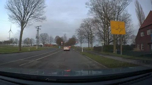

Die Schwärmerei Bedburg-Hau - Berkhöfel
Farm and orchard · 3.7 km
196 Uedemer Straße, Bedburg-Hau
Tu 16:30-18:00
Hofladen Theis
Farm and orchard · 3.7 km
Asperdener Straße, Goch
Mo-Fr
naturwaren-niederrhein GmbH
Farm and orchard · 2.5 km
264 Triftstraße, Goch
Mo-Fr 08:00-16:00; Sa,Su off
Großmarkthalle Lindchen
Farm and orchard · 4.7 km
Mo-Fr 04:00-18:00; Sa 04:00-13:00


Museums and landmarks118

Schloss Kalbeck
Monument and historic site · 4.8 km
Großzügige zweiflügelige Anlage, Neorenaissance; Ersatz für 1907 abgebranntes Alt-Kalbeck; auch Renteigebäude, Pavillon und Garten geschützt


Haus zu den Fünf Ringen
Monument and historic site · 3.6 km
1 Steinstraße, Goch
Landwehr
Monument and historic site · 3.4 km
4 Teilstücke einer ursprünglich zusammenhängenden Landwehr, siehe auch Goch 7; Breite Basis 8m, Krone 2.5m, Höhe 2m gegenüber Graben

Landwehr
Monument and historic site · 4.1 km
Stark verflachter doppelter Wall; nördlich "Gut Fort", die Scheune auf künstlichen Hügel; der Bach ist Grenze Goch/Weeze
Landwehr
Monument and historic site · 4.8 km
Heute Grenze Uedem/Goch/Weeze; "Keppelsche Lant-Wehr", "Uedemsche Grentze" und "Kahlbecksche Grentze"

Längstennenscheune
Monument and historic site · 3.9 km
Längstennenscheune aus Backstein,Traufgesimse an den Giebeln verkröpft. Tonpfannengedecktes Krüppelwalmdach, in den Giebeln je ein...


106 more on the map.
Parks, trails and playgrounds4




Restaurants and cafes67

Papa Mi
Restaurant · Ice Cream · 3.9 km
Sushi-Restaurant Vietnamesisch
6 Auf dem Wall
Mo-Su 11:00-22:30
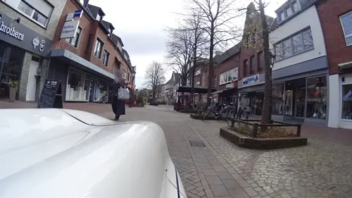
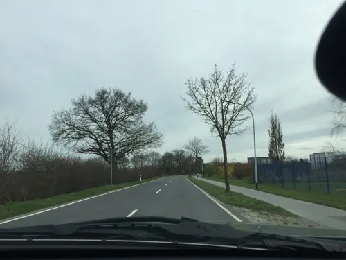
Jocki´s Drive in
Bakery · 2.1 km
197 Hervorster Straße, Goch
Mo-Fr 05:00-18:00; Sa 06:00-17:00; Su 07:00-17:00

Reffeling
Bakery · 3.7 km
16 Graefenthalstraße, Goch
Mo-Fr 06:00-12:30,14:30-18:30; Sa 06:00-13:00; Su 07:00-11:00
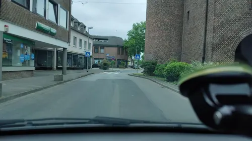
Speakeasy
Bar and pub · 3.6 km
17 Am Steintor, Goch
Fr,Sa 17:00-23:00; Th,Su,Mo 17:00-22:00; Tu,We off

Eis Dolomiti
Ice cream · Ice Cream · 3.9 km
120 Voßheider Straße, Goch
Mo-Su 11:00-21:00
O nosso Cais
Restaurant · Portuguese · 3.7 km
10 Frauenstraße, Goch
Mo-Su 08:00-22:00
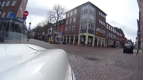
Fisch-Café am Markt
Cafe · Fish · 3.7 km
Mo-Su 11:00-19:00 Fisch
Mo-Su 08:00-19:00
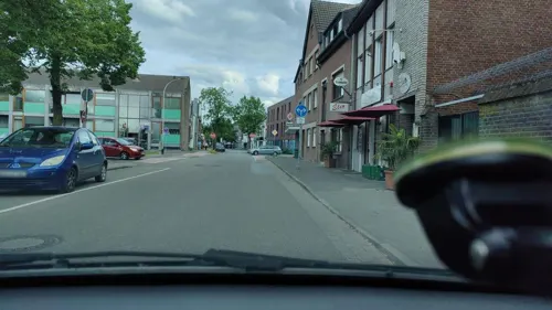
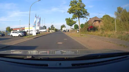


Adria Grill
Restaurant · 3.7 km
3 Am Steintor, Goch
Mo-Sa 12:00-14:00,17:00-21:00; Tu off; We off; Su 17:00-21:00
55 more on the map.
Where to stay14
Churches and places of worship12
Freie evangelische Gemeinde Goch
Church · Protestant · 3.4 km
72 Mühlenstraße, Goch
Shopping21
Gas and EV charging10
Schools, colleges and libraries15
Berufskolleg des Kreises Kleve - Teilstandort Goch/ Arnold-Janssen-Schule
School · 3.7 km
9 Jakobstraße, Goch
Liebfrauenschule, katholische Grundschule
School · Catholic · 3.1 km
26 Theodorstraße, Goch
Arnold-Janssen-Gemeinschaftsgrundschule
School · 3.7 km
101 Hinter der Mauer, Goch
Freiherr von Motzfeld Grundschule, Gemeinschaftsgrundschule
School
113 Hevelingstraße, Goch
LVR Paul-Moor-Schule - Standort Pfalzdorf/Borgardtshof
School · 2.1 km
473 Klever Straße, Goch
Healthcare12
Emanuel van Lin, Dr. med. Anja Ilgemann und Dr. med. Heike Stattaus
Clinic and pharmacy · 3.7 km
212 Voßheider Straße, Goch
Katholisches Karl-Leisner-Klinikum Wilhelm-Anton-Hospital Goch
Hospital · 3.7 km
MVZ Augenzentrum Tausendfensterhaus - Augenarztpraxis Goch
Clinic and pharmacy · 2.8 km
23 Klever Straße, Goch
MVZ Karl-Leisner Praxis für Geburtshilfe und Frauenheilkunde
Clinic and pharmacy · 3.3 km
28 Wiesenstraße, Goch
Map of Pfalzdorf
250 places. The map loads OpenStreetMap tiles when you open it.
Getting there and nearby towns
Airport Weeze (NRN) is the nearest airport with scheduled flights listed in OpenStreetMap, 12 km away.
- Goch 3 km south, about 3 min by car
- Kleve 9 km north, about 9 min by car
- Uedem 9 km southeast, about 9 min by car
- Kalkar 9 km east, about 9 min by car
- Weeze 9 km south, about 9 min by car
- Kevelaer 15 km south, about 15 min by car
- Rees 17 km east, about 17 min by car
- Sonsbeck 19 km southeast, about 19 min by car
- Kapellen 21 km southeast, about 21 min by car
- Xanten 21 km east, about 21 min by car
Drive times are estimates from straight-line distance, not routes.
Local news
Headlines from INDB.
Reviews, tips and questions
Loading what members have shared...
Sources and licences
- GeoNames (CC BY 4.0): population, coordinates, regions and time zone
- Mapillary (see each image): photos
- OpenStreetMap contributors (ODbL 1.0): places, airports, map data
- Wikidata (CC0 1.0): elevation, founding date, time zone, website, landmarks and historic places
- Wikimedia Commons (see each image): photos
Photo credits
- Goch-Pfalzdorf St. Martinus PM19-01, Pieter Delicaat, CC BY-SA 4.0
- Goch-Pfalzdorf St. Martinus PM19-02, Pieter Delicaat, CC BY-SA 4.0
- Goch-Pfalzdorf St. Martinus PM19-04, Pieter Delicaat, CC BY-SA 4.0
- Goch-Pfalzdorf St. Martinus PM19-02Turm + Kirche str, Pieter Delicaat, CC BY-SA 4.0
- Goch-Pfalzdorf St. Martinus PM19-02Turm + Kirche, Pieter Delicaat, CC BY-SA 4.0
- Goch-Pfalzdorf St. Martinus PM19-05, Pieter Delicaat, CC BY-SA 4.0
- Goch-Pfalzdorf St. Martinus PM19-03, Pieter Delicaat, CC BY-SA 4.0
- Goch-Pfalzdorf Hevelingstraße 238 PM19-01, Pieter Delicaat, CC BY-SA 4.0
- Goch-Pfalzdorf Bahnhof Pfalzdorf PM19-02, Pieter Delicaat, CC BY-SA 4.0
- Goch-Pfalzdorf Bahnhof Pfalzdorf PM19-01, Pieter Delicaat, CC BY-SA 4.0
- Goch-Pfalzdorf Motzfeldstraße 35 PM19-01, Pieter Delicaat, CC BY-SA 4.0
- Goch-Pfalzdorf Motzfeldstraße 33-35 PM19-01, Pieter Delicaat, CC BY-SA 4.0
- Goch-Pfalzdorf Motzfeldstraße 39-41 PM19-01, Pieter Delicaat, CC BY-SA 4.0
- Goch-Pfalzdorf Motzfeldstraße 36 PM19-01, Pieter Delicaat, CC BY-SA 4.0
- Goch-Pfalzdorf Motzfeldstraße 43 PM19-01, Pieter Delicaat, CC BY-SA 4.0
- Goch-Pfalzdorf Kirchstr 54 PM19-01, Pieter Delicaat, CC BY-SA 4.0
- Goch-Pfalzdorf Kirchstr 64 PM19-02, Pieter Delicaat, CC BY-SA 4.0
- Goch-Pfalzdorf Kirchstr 64 PM19-01, Pieter Delicaat, CC BY-SA 4.0
- Goch-Pfalzdorf Motzfeldstraße Mahnmal PM19-01, Pieter Delicaat, CC BY-SA 4.0
- Schloss Moyland Panorama, 1, Rainer Lippert , bearbeitet durch Alchemist-hp, CC0
- Arnojan6, Peter Bouss at German Wikipedia, Public domain
- Goch Asperden Glasofen am Burgus, Sebastian V, Public domain
- Goch - Liebfrauenkirche 01 ies, Frank Vincentz, CC BY-SA 3.0
- 2024-09-08 Evangelische Kirche Markt Goch ZvD 18, Ziko, CC BY-SA 4.0
- Goch, Haus zu den Fünf Ringen, 2012-05 CN-01, kaʁstn Disk / Cat, CC BY-SA 3.0 de
- 2024-09-08 Steintor Goch 09, Ziko, CC BY-SA 4.0
- Goch - Museum 02 ies, Frank Vincentz, CC BY-SA 3.0
- MarMagGo, Laird-of-Harpsdale at German Wikipedia, Attribution
- 2024-09-09 Evangelische Westkirche (Pfalzdorf) Goch 02, Ziko, CC BY-SA 4.0
- Goch-Nierswalde ev. Kirche PM230914 02, Pieter Delicaat, CC BY-SA 4.0
- Schneppenbaum Uedemer Str. (1), Peli, CC BY-SA 4.0
- Stolperstein Goch Voßstraße 16 Ellen van Leeuwen, Gmbo 2013, CC0
- Goch Viller Mühle PM20-01, Pieter Delicaat, CC BY-SA 4.0
- Goch Reisemobilstellplatz Friedensplatz, Gmbo 2013, CC0
- Goch-Asperden-Kirche St Vincentius, Sebastian V, Public domain
- Freie evangelische Gemeinde Goch, Gmbo 2013, CC0
- Goch, Haus zu den Fünf Ringen, 2012-05 CN-03, kaʁstn Disk / Cat, CC BY-SA 3.0 de
- 2024-09-08 Evangelische Kirche Markt Goch ZvD 01, Ziko, CC BY-SA 4.0
- Goch - Steintor 01 ies, Frank Vincentz, CC BY-SA 3.0
- Limes1, Ziegelbrenner, CC BY-SA 3.0
- Street-level photo, dakrys, CC BY-SA 4.0
- Street-level photo, fietsersbond, CC BY-SA 4.0
- Street-level photo, elmar, CC BY-SA 4.0
- Street-level photo, poxonline, CC BY-SA 4.0
- Street-level photo, poxonline, CC BY-SA 4.0
- Street-level photo, poxonline, CC BY-SA 4.0
- Street-level photo, poxonline, CC BY-SA 4.0
- Street-level photo, helfrich, CC BY-SA 4.0
- Street-level photo, poxonline, CC BY-SA 4.0
- Street-level photo, fietsersbond, CC BY-SA 4.0
- Street-level photo, fietsersbond, CC BY-SA 4.0
- Street-level photo, poxonline, CC BY-SA 4.0
- Street-level photo, poxonline, CC BY-SA 4.0
- Street-level photo, poxonline, CC BY-SA 4.0
- Street-level photo, poxonline, CC BY-SA 4.0
- Street-level photo, fietsersbond, CC BY-SA 4.0
- Street-level photo, fietsersbond, CC BY-SA 4.0
- Street-level photo, poxonline, CC BY-SA 4.0
- Street-level photo, poxonline, CC BY-SA 4.0
- Street-level photo, poxonline, CC BY-SA 4.0


Page built November 9, 2026. Spotted a mistake? Tell us or suggest a place.