


Why visit Kalkar
Townapedia lists 217 museums and landmarks, 43 parks and trails, 82 places to eat, 24 places to stay and 23 attractions in and around town.
Highlights include Tannen-Karl Kalkar, Garten- und Landschaftsbau Rottmann, Vriendshof, Burg Boetzelaer and Städtisches Museum.
Weather in Kalkar
Forecast from MET Norway (CC BY 4.0). Full forecast
About Kalkar
Kalkar (German: [ˈkalkaːɐ̯] ) is a municipality in the district of Kleve, in North Rhine-Westphalia, Germany. It is located near the Rhine, approx. 10 km south-east of Cleves. The catholic church St.
From the Wikipedia article Kalkar (this version), under CC BY-SA 4.0.
Things to do23

Tannen-Karl Kalkar, Garten- und Landschaftsbau Rottmann
Farm and orchard · 0.9 km
Weihnachtsbäume
2b Gocher Feld, Kalkar
Saisonale Öffnungszeiten

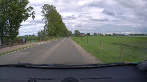
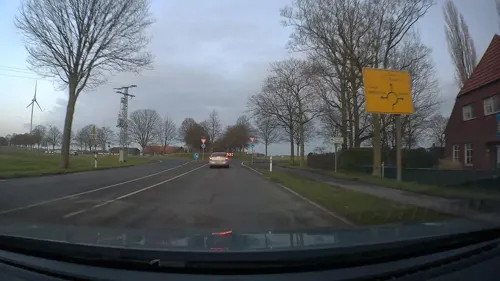
Vriendshof
Farm and orchard · 7.0 km
Äpfel, Birnen, Marmelade
7 Grietherbusch, Rees
Th-Sa 09:00-12:30,14:00-18:00, Su 11:00-12:30
Edelobst Raadts
Farm and orchard · 4.3 km
189 Griether Straße, Kalkar
Mo-Fr 08:00-18:00; Sa 08:00-13:00
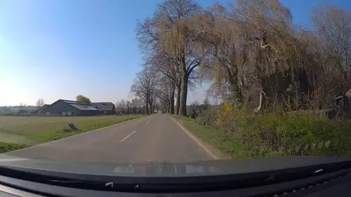
Hochwald-Spargel Poen
Farm and orchard · 6.9 km
5 Am Hochwald, Uedem
Mo-Fr 09:00-18:00, Sa,Su 08:00-17:00
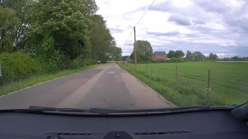
Reeserwarder Obstanlagen
Farm and orchard · 6.9 km
2 Wardstraße, Rees
Aug-May; Mo-Fr 09:00-12:30,14:00-18:00, Sa 09:00-12:30, Su 14:00-18:00
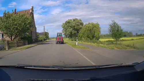
Rosenhof
Farm and orchard · 7.2 km
10 Grietherbusch, Rees
"nur nach vorheriger Absprache, telefonisch oder per WhatsApp"
Die Schwärmerei Bedburg-Hau - Berkhöfel
Farm and orchard · 6.0 km
196 Uedemer Straße, Bedburg-Hau
Tu 16:30-18:00
11 more on the map.
Museums and landmarks217

Burg Boetzelaer
Monument and historic site · 4.1 km
Dreigeschossiger, hell verputzter Backsteinbau, drei Stockwerke auf hohem Kellergeschoss; viergeschossiger Rundturm mit Burgkapelle;...
247 Reeser Straße, Kalkar


Mühle Rosau
Monument and historic site · 7.1 km
Viergeschossig aus Ziegelsteinen, weiß gekälkt; gradlinig und zylindrisch; errichtet als Wehrturm der Burg Rosau, von 1500-1850 Windmühle


Hohe Mühle
Monument and historic site · 7.6 km
Eine der ältesten aus Stein gebauten Windmühlen am Niederrhein, saniert 1989; Begegnungsstätte, Café und Aussichtsturm
Sa-Su 14:30-17:00 || "nach Vereinbarung"


Landwehr
Monument and historic site · 5.3 km
Westlicher Wall Basis 12m breit, Krone 7m, 2m hoch; Graben 3m breit; östlicher Wall 5.5m; siehe auch bedh0200011
Landwehr
Monument and historic site · 6.0 km
4 Teilstücke einer ursprünglich zusammenhängenden Landwehr, siehe auch Bedburg-Hau 6; Breite Basis 8m, Krone 2.5m, Höhe 2m gegenüber Graben

Schloss Moyland
Monument and historic site · 4.1 km
4 Am Schloß, Bedburg-Hau
Alte Schule Grietherbusch
Monument and historic site · 6.8 km
Ehemalige katholische Volksschule mit Lehrerwohnung
205 more on the map.
Parks, trails and playgrounds43

Wunderland Kalkar
Sports field and stadium · 3.6 km
Amusement park in Germany
110-120 Griether Straße, Kalkar






31 more on the map.
Restaurants and cafes82

Brauhaus Kalkarer Mühle
Restaurant · Regional
8 Mühlenstege, Kalkar
Tu-Fr 11:00-14:00,17:00-23:00; Sa,Su 10:00-23:00

Eiscafe & Pizzeria SICILIA
Cafe · Ice Cream, Italian, Pizza · 7.6 km
16 Klosterplatz, Bedburg-Hau
Th-Tu 12:00-21:00; We off
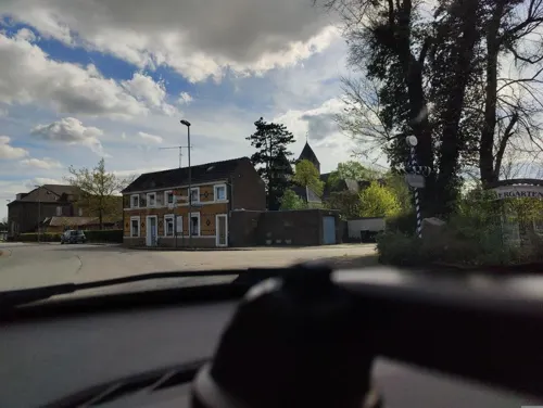


Zum Schwan
Restaurant · Regional · 3.7 km
17 Dorfstraße, Kalkar
Mo,Th off; Tu-We 16:00-23:00; Fr-Sa 16:00-23:00; Su,PH...

Bäckerei Gerads
Bakery · 7.9 km
17 Kalkarer Straße, Xanten
Mo-Th 07:00-19:00; Fr-Sa 07:00-18:00; Su 07:00-12:00
Landgasthof Westrich
Restaurant · Regional · 5.6 km
26 Bienenstraße, Bedburg-Hau
Th-Mo 11:00-21:30; Su 09:00+
Cafebar 837,5
Cafe · 7.4 km
Öffnet nur an Wochenenden und Feiertagen
Fr,Sa 13:00-20:00, Su,PH 12:00-18:00
70 more on the map.
History
Kalkar was founded by Dirk VI of Cleves in 1230 and received city rights in 1242. It was one of the seven "capitals" of Cleves (called Kleve), until the line of the Duchy of Cleves died out in 1609, whereupon the city went over to the Margraviate of Brandenburg. Marie of Burgundy, Duchess of Cleves retired to Monreberg castle in Kalkar, where she founded a Dominican convent in 1455. Under her influence the city bloomed and artists were attracted to the favorable climate for cultural investment. She died at Monreberg castle in 1463.
From the History section of Kalkar on Wikipedia, under CC BY-SA 4.0.
Where to stay24
Churches and places of worship30
Shopping28
Gas and EV charging15
Schools, colleges and libraries21
Frühförderstelle Rees - Frühförderstelle für den Kreis Kleve gGmbH
School · 7.9 km
18 Elsa-Brandström-Straße
Heinrich-Eger-Schule, katholische Grundschule Appeldorn
School · Catholic · 4.2 km
10 Heinrich-Eger-Straße, Kalkar
St. Luthard-Schule, katholische Grundschule Wissel
School · Catholic · 3.9 km
29 Dorfstraße, Kalkar
St. Markus Grundschule - Nebenstandort Hasselt
School · 7.1 km
19 Schulstraße, Bedburg-Hau
Healthcare11
DoctoRees Facharztpraxis für Innere und Allgemeinmedizin
Clinic and pharmacy · 7.8 km
5 Florastraße, Rees
Dr. med. Christine Monser und Dr. med. Winfried Vierke
Clinic and pharmacy · 7.5 km
12 Markt, Rees
Hausarztpraxis Bedburg-Hau
Clinic and pharmacy · 7.4 km
10a Rosendaler Weg, Bedburg-Hau
Map of Kalkar
250 places. The map loads OpenStreetMap tiles when you open it.
Getting there and nearby towns
Airport Weeze (NRN) is the nearest airport with scheduled flights listed in OpenStreetMap, 18 km away.
- Rees 8 km east, about 8 min by car
- Kleve 12 km northwest, about 12 min by car
- Xanten 14 km southeast, about 14 min by car
- Weeze 14 km southwest, about 14 min by car
- Kevelaer 18 km south, about 18 min by car
- Kapellen 19 km south, about 19 min by car
- Wesel 24 km east, about 24 min by car
- Rheinberg 30 km southeast, about 30 min by car
- Rhede 30 km east, about 30 min by car
- Kamp-Lintfort 31 km southeast, about 31 min by car
Drive times are estimates from straight-line distance, not routes.
Local news
Headlines from INDB.
Reviews, tips and questions
Loading what members have shared...
Sources and licences
- GeoNames (CC BY 4.0): population, coordinates, regions and time zone
- Mapillary (see each image): photos
- OpenStreetMap contributors (ODbL 1.0): places, airports, map data
- Wikidata (CC0 1.0): elevation, founding date, time zone, website, landmarks and historic places
- Wikimedia Commons (see each image): photos
- Wikipedia (CC BY-SA 4.0): overview and history text
Photo credits
- Kalkar 10 ies, Frank Vincentz, CC BY-SA 3.0
- Kalkar Dezember 2021, Kirchplatz 5 Isac Spier, Moritz Spier (02), Qwertzu111111, CC BY-SA 4.0
- Kalkar Dezember 2021, Kirchplatz 5 Moritz Spier, Qwertzu111111, CC BY-SA 4.0
- Kalkar Dezember 2021, Kirchplatz 5 Isac Spier, Moritz Spier (01), Qwertzu111111, CC BY-SA 4.0
- Kalkar Dezember 2021, Kirchplatz 5 Isac Spier, Qwertzu111111, CC BY-SA 4.0
- Kalkar Kesselstraße 9 Evangelische Kirche PM18-03, Pieter Delicaat, CC BY-SA 4.0
- Kalkar Kesselstraße 9 Evangelische Kirche PM18-01, Pieter Delicaat, CC BY-SA 4.0
- Kalkar Kesselstraße 9 Evangelische Kirche PM18-02, Pieter Delicaat, CC BY-SA 4.0
- Stolpersteine Kalkar, Markt für Paula Cohen, Werner Cohen, Gabriel Cohen (01), Qwertzu111111, CC BY-SA 4.0
- Stolpersteine Kalkar, Kesselstraße 10 für Abraham Cohen, Qwertzu111111, CC BY-SA 4.0
- Stolpersteine Kalkar, Kesselstraße 10 für Abraham Cohen, Ernst Cohen, Amalie Cohen (Malchen Cohen) (01), Qwertzu111111, CC BY-SA 4.0
- Stolpersteine Kalkar, Kesselstraße 10 für Amalie Cohen (Malchen Cohen), Qwertzu111111, CC BY-SA 4.0
- Stolpersteine Kalkar, Kesselstraße 10 für Abraham Cohen, Ernst Cohen, Amalie Cohen (Malchen Cohen) (02), Qwertzu111111, CC BY-SA 4.0
- Stolpersteine Kalkar, Kesselstraße 10 für Ernst Cohen, Qwertzu111111, CC BY-SA 4.0
- Stolpersteine Kalkar Kesselstraße 12, Gmbo 2013, CC0
- Stolperstein Kalkar Kesselstraße 12 Betty Isaac, Gmbo 2013, CC0
- Stolperstein Kalkar Kesselstraße 12 Max Isaac, Gmbo 2013, CC0
- Stolperstein Kalkar Kesselstraße 12 Karoline Isaac, Gmbo 2013, CC0
- Stolperstein Kalkar Kesselstraße 12 Arthur Isaac, Gmbo 2013, CC0
- Stolperstein Kalkar Kesselstraße 12 Andreas Isaac, Gmbo 2013, CC0
- Stolperstein Kalkar Kesselstraße 12 Anna Isaac, Gmbo 2013, CC0
- Stolperstein Kalkar Kesselstraße 12 Ruth Isaac, Gmbo 2013, CC0
- Stolperstein Kalkar Kesselstraße 12 Josef Isaac, Gmbo 2013, CC0
- Stolpersteinlage Kalkar Kesselstraße 12, Gmbo 2013, CC0
- Stolpersteine Kalkar Kesselstraße 12; Isaac, Qwertzu111111, CC BY-SA 4.0
- Markt Kalkar - geo.hlipp.de - 19671, Gregory Smith on geo.hlipp.de, CC BY-SA 2.0
- Kalkar Markt 9 PM18-01, Pieter Delicaat, CC BY-SA 4.0
- Stolpersteine in Kalkar, Kesselstraße 15 Siegmund Spier, Gerta Spier, Rosalia Spier, Antonie Spier, Fritz Spier; January 2024 in Kreis Kleve, Qwertzu111111, CC BY-SA 4.0
- Stolpersteine Kalkar, Markt für Gabriel Cohen, Qwertzu111111, CC BY-SA 4.0
- Stolpersteine Kalkar, Markt für Werner Cohen, Qwertzu111111, CC BY-SA 4.0
- Stolpersteine Kalkar, Markt für Paula Cohen, Qwertzu111111, CC BY-SA 4.0
- Stolpersteine Kalkar, Markt für Paula Cohen, Werner Cohen, Gabriel Cohen (02), Qwertzu111111, CC BY-SA 4.0
- Kalkar Rathaus PM18-01, Pieter Delicaat, CC BY-SA 4.0
- Kalkar Dezember 2021, Kesselstraße 15 Gerta Spier, Qwertzu111111, CC BY-SA 4.0
- Kalkar Dezember 2021, Kesselstraße 15 Siegmund Spier, Gerta Spier, Rosalia Spier, Antonie Spier, Fritz Spier (1), Qwertzu111111, CC BY-SA 4.0
- Kalkar Dezember 2021, Kesselstraße 15 Siegmund Spier, Qwertzu111111, CC BY-SA 4.0
- Kalkar Dezember 2021, Kesselstraße 15 Antonie Spier, Qwertzu111111, CC BY-SA 4.0
- Kalkar Dezember 2021, Kesselstraße 15 Fritz Spier, Qwertzu111111, CC BY-SA 4.0
- Kalkar Dezember 2021, Kesselstraße 15 Rosalia Spier, Qwertzu111111, CC BY-SA 4.0
- Wunderland Kalkar - panoramio (5), alpenzoo, CC BY-SA 3.0
- Schloss Moyland Panorama, 1, Rainer Lippert , bearbeitet durch Alchemist-hp, CC0
- Kalkar Nicolai, Unknown author, CC BY-SA 3.0
- St. Lambertus Kalkar-Appeldorn PM21-01, Pieter Delicaat, CC BY-SA 4.0
- LVR-Klinik Bedburg-Hau PM18-01, Pieter Delicaat, CC BY-SA 4.0
- Kalkar Grieth - Sankt Peter und Paul 01 ies, Frank Vincentz, CC BY-SA 3.0
- Gebäude der Stadtbücherei Rees, TeleD, CC BY-SA 3.0
- St. Mariä Himmelfahrt Rees, Volker1978 (shifted & cropped by Rabanus Flavus ), CC BY-SA 3.0
- Rees - Am Bär1-Koenraad Bosman 03 ies, Frank Vincentz, CC BY-SA 3.0
- Kalkar 12 ies, Frank Vincentz, CC BY-SA 3.0
- Kalkar Rheinuferstraße Fangbucht an der Kalflak PM20-03, Pieter Delicaat, CC BY-SA 4.0
- NSG Grietherorter Altrhein PM18-020, Pieter Delicaat, CC BY-SA 4.0
- Huisberden St. Petrus PM17-1, Pieter Delicaat, CC BY-SA 4.0
- Rees-Bienen Mühle Rosau PM18-04, Pieter Delicaat, CC BY-SA 4.0
- 2024-09-09 Evangelische Westkirche (Pfalzdorf) Goch 02, Ziko, CC BY-SA 4.0
- Rees, der Mühlenturm DmA8 foto3 2017-10-18 15.58, Michielverbeek, CC BY-SA 4.0
- BurgBoetzelaer07, Maarten Takens, CC BY-SA 2.0
- Uedem - Hohe Mühle 06 ies, Frank Vincentz, CC BY-SA 3.0
- Appeldorn Burg Boetselaer NW PM21-03, Pieter Delicaat, CC BY-SA 4.0
- Till-Moyland Katzenbuckel PM16-1, Pieter Delicaat, CC BY-SA 4.0
- Sankt Mariä Himmelfahrt Marienbaum, Hans-Martin Scheibner, CC BY-SA 3.0
- Evangelische Kirche Neulouisendorf 11 PM16, Pieter Delicaat, CC BY-SA 4.0
- Kalkar-Hanselaer Spickstraße 83 PM18-05, Pieter Delicaat, CC BY-SA 4.0
- Rees Grietherbusch 7 Vriendshof PM18-01, Pieter Delicaat, CC BY-SA 4.0
- Römisches Übungslager im Uedemer Hochwald, Begrifflich, CC BY-SA 4.0
- Stiftsmuseum Kalkar Wissel PM18-01, Pieter Delicaat, CC BY-SA 4.0
- Street-level photo, poxonline, CC BY-SA 4.0
- Street-level photo, poxonline, CC BY-SA 4.0
- Street-level photo, poxonline, CC BY-SA 4.0
- Street-level photo, poxonline, CC BY-SA 4.0
- Street-level photo, poxonline, CC BY-SA 4.0
- Street-level photo, poxonline, CC BY-SA 4.0
- Street-level photo, poxonline, CC BY-SA 4.0
- Street-level photo, poxonline, CC BY-SA 4.0
- Street-level photo, sirix, CC BY-SA 4.0
- Street-level photo, poxonline, CC BY-SA 4.0
- Street-level photo, poxonline, CC BY-SA 4.0
- Street-level photo, poxonline, CC BY-SA 4.0
- Street-level photo, littlefool, CC BY-SA 4.0


Page built November 8, 2026. Spotted a mistake? Tell us or suggest a place.