


Why visit Kusel
Townapedia lists 13 museums and landmarks, 20 parks and trails, 31 places to eat, 3 places to stay and 17 attractions in and around town.
Highlights include Remigiusberg, Bistersberg, Michelsburg and Musikantenland Museum.
Weather in Kusel
Forecast from MET Norway (CC BY 4.0). Full forecast
About Kusel
Kusel (German pronunciation: [ˈkuːzl̩] ; written Cusel until 1865) is a town in the Kusel district in Rhineland-Palatinate, Germany. It is the seat of the Kusel-Altenglan Verbandsgemeinde ("collective municipality") and also the district seat.
From the Wikipedia article Kusel (this version), under CC BY-SA 4.0.
Things to do17

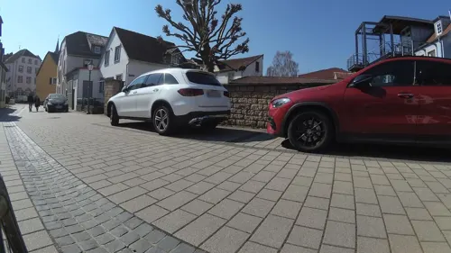

Schellweiler Klopp
Scenic view · 2.1 km
Aussichtspunkt „Schellweiler Klopp“ mit Sitzbank: Blick auf Burg Lichtenberg, Blick nach Kusel-Bledesbach, Ehweiler, Konken,...
5 more on the map.
Museums and landmarks13


Burgruine Michelsburg (Remigiusburg)
Monument and historic site · 3.1 km


1 more on the map.
Parks, trails and playgrounds20
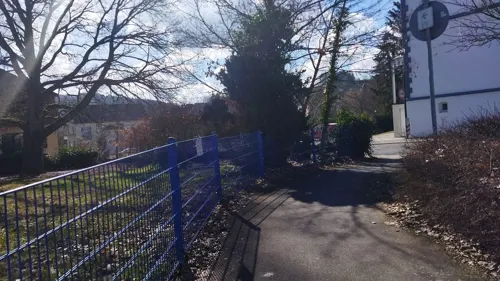
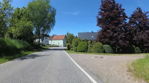


8 more on the map.
Restaurants and cafes31
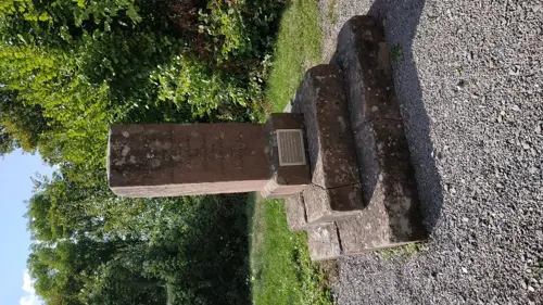
Zur alten Propstei
Restaurant · German · 3.0 km
32 Remigiusberg 'Wohnplatz', Haschbach am Remigiusberg
Tu-Su 11:30-22:00
Da Giovanni Pizzeria - Ristorante
Restaurant · Italian · 1.4 km
12 Blaubacher Straße, Kusel



19 more on the map.
History
In the area around the town, many Celtic graves from the Iron Age have been unearthed. The Celtic population adopted Roman culture once Julius Caesar had conquered Gaul, and there have been Gallo-Roman archaeological finds throughout the region as well as in Kusel itself. In the time of the Migration Period (or Völkerwanderung), the area was first conquered by the Burgundians and then later by the Alemanni. As a result of the 496 Battle of Tolbiac (Zülpich), Kusel found itself under Frankish hegemony, and became, either by sale or donation, part of the Imperial domain around Kaiserslautern.
From the History section of Kusel on Wikipedia, under CC BY-SA 4.0.
More about Kusel
Geography
Kusel lies on the Kuselbach in Rhineland-Palatinate's southwest, in the North Palatine Uplands roughly 30 km northwest of Kaiserslautern. The Kuselbach rises in the outlying centre of Diedelkopf where the Bledesbach and the Pfeffelbach (or Aalbach) meet. The dale is hemmed in by a row of mountains, on the left bank the Ödesberg (375 m), and on the right the Gaisberg (355 m), the Roßberg (314 m) and the Herrchenberg (385 m). The floor of the dale lies roughly 220 m above sea level. Prominent landmarks just beyond the town's limits are Lichtenberg Castle to the west and the Remigiusberg (368 m) and the Potzberg (562 m) to the east. With roughly 5,000 inhabitants, Kusel challenges Cochem for the title of Germany's smallest district seat.
Kusel borders in the north on the municipalities of Körborn and Blaubach, in the northeast on the municipality of Altenglan, in the east on the municipality of Rammelsbach, in the southeast on the municipality of Haschbach am Remigiusberg, in the south on the municipality of Schellweiler, in the southwest on the municipality of Ehweiler, in the west on the municipality of Pfeffelbach and in the northwest on the municipality of Ruthweiler.
Economy
Given the town's central location, many markets were held in Kusel even as far back as the Middle Ages, although these often had to put up with stiff competition from other traditional markets in other nearby places. The town's economic life in the late 18th century was characterized by many small craftsmen's workshops. There were wool and linen weavers, doublet and hose knitters, clothmakers and hatters as well as walking mills and gristmills, tanneries and several breweries. At the same time, dealers travelling overland from the town did a brisk trade with these products. In the age of industrialization, few of these craftsmen managed to expand their workshops or to switch to new, effective production methods.
Arts and culture
The following are listed buildings or sites in Rhineland-Palatinate’s Directory of Cultural Monuments:
Saint Giles’s Catholic Parish Church (Pfarrkirche St. Ägidius), Lehnstraße 10 – Gothic Revival pseudobasilica, sandstone-block building, 1887–1889, architect Franz Schöberl, Speyer; furnishings
Protestant parish church, Marktplatz 2 – Classicist sandstone-block building, 1829–1831, architect Ferdinand Beyschlag, Kaiserslautern, tower helm 1861, architect Johann Schmeisser, Kusel; furnishings, Stumm organ from 1848
Bahnhofstraße 22 – three-floor Late Historicist living and commercial house with gated driveway, 1900
Bahnhofstraße 25 – stately Late Historicist corner house with mansard roof, 1899
Bahnhofstraße 28/30 – former “Pfälzer Hof”; three-floor sandstone-framed plastered building with stone-block-faced ground floor, 1896; in the yard remnants of the former beergarden buildings; characterizes town's appearance
Bahnhofstraße 55 – Historicist clinker brick building on stone-block-faced ground floor, Renaissance Revival motifs, 1888
Bahnhofstraße 58 – lavishly decorated Baroque Revival villa with mansard roof, 1902, architect K. Herrmann, Kusel
Bahnhofstraße 59 – former Royal Bavarian Rentamt (financial administration office); Historicist stone-block building with hipped roof, 1894/1895, architect Bauamtmann Stempel, Kaiserslautern
From the Wikipedia article Kusel, under CC BY-SA 4.0.
Where to stay3
Churches and places of worship7
Evangelische Stadtkirche (Protestantische Pfarrkirche)
Church · Protestant
2 Marktplatz, Kusel
Propsteikirche "St.Remigius"
Church · Catholic · 3.0 km
30 Remigiusberg 'Wohnplatz', Haschbach am Remigiusberg
Evangelische Freikirche Kusel
Church · Evangelical · 1.3 km
117 Trierer Straße, Kusel
Protestantische Kirche
Church · Protestant · 3.0 km
22 Friedhofstraße, Rammelsbach
Shopping14
Gas and EV charging5
Schools, colleges and libraries12
Healthcare5
Map of Kusel
127 places. The map loads OpenStreetMap tiles when you open it.
Getting there and nearby towns
Ramstein Air Base (RMS) is the nearest airport with scheduled flights listed in OpenStreetMap, 18 km away.
- Ramstein-Miesenbach 15 km southeast, about 15 min by car
- Landstuhl 18 km southeast, about 18 min by car
- Waldmohr 18 km south, about 18 min by car
- Sankt Wendel 19 km southwest, about 19 min by car
- Namborn 19 km west, about 19 min by car
- Nohfelden 20 km west, about 20 min by car
- Idar-Oberstein 21 km north, about 21 min by car
- Ottweiler 23 km southwest, about 23 min by car
- Homburg 24 km south, about 24 min by car
- Bexbach 24 km southwest, about 24 min by car
Drive times are estimates from straight-line distance, not routes.
Towns near Kusel


Local news
Headlines from INDB.
Reviews, tips and questions
Loading what members have shared...
Sources and licences
- GeoNames (CC BY 4.0): population, coordinates, regions and time zone
- Mapillary (see each image): photos
- OpenStreetMap contributors (ODbL 1.0): places, airports, map data
- Wikidata (CC0 1.0): elevation, founding date, time zone, website, landmarks and historic places
- Wikimedia Commons (see each image): photos
- Wikipedia (CC BY-SA 4.0): overview and history text
Photo credits
- Kusel Blick vom Marktplatz, 3268zauber, CC BY-SA 3.0
- BurgLichtenberg Zehntscheune, LoKiLeCh, CC BY-SA 3.0
- Michelsburg1, Andreas Rockstein Kurpfalzbilder.de, Public domain
- Propstei remigiusberg-01-3, Dieter hahn, CC BY-SA 3.0
- Stadtkirche Kusel 2, RotesEichhörnchen, CC BY-SA 4.0
- HNO Klinik in Kaiserslautern, Zoppo59, CC BY-SA 4.0
- Denkmalzone Ruine Michelsburg, Leiflive, CC BY-SA 4.0
- Street-level photo, cello, CC BY-SA 4.0
- Street-level photo, changchun1, CC BY-SA 4.0
- Street-level photo, teddy73, CC BY-SA 4.0
- Street-level photo, teddy73, CC BY-SA 4.0
- Street-level photo, teddy73, CC BY-SA 4.0
- Street-level photo, teddy73, CC BY-SA 4.0
- Street-level photo, b166er, CC BY-SA 4.0
- Street-level photo, teddy73, CC BY-SA 4.0
- Street-level photo, teddy73, CC BY-SA 4.0
- Street-level photo, changchun1, CC BY-SA 4.0
- Street-level photo, teddy73, CC BY-SA 4.0
- Street-level photo, teddy73, CC BY-SA 4.0
- Street-level photo, ramap, CC BY-SA 4.0
- Street-level photo, teddy73, CC BY-SA 4.0
- Street-level photo, changchun1, CC BY-SA 4.0
- Street-level photo, teddy73, CC BY-SA 4.0
- Street-level photo, teddy73, CC BY-SA 4.0
- Street-level photo, teddy73, CC BY-SA 4.0
- Street-level photo, ramap, CC BY-SA 4.0
- Street-level photo, teddy73, CC BY-SA 4.0
- Street-level photo, teddy73, CC BY-SA 4.0
- Street-level photo, teddy73, CC BY-SA 4.0
- Street-level photo, teddy73, CC BY-SA 4.0
Page built November 9, 2026. Spotted a mistake? Tell us or suggest a place.