


Ramstein-Miesenbach, Germany
Verbandsgemeinde Ramstein-Miesenbach
Ramstein-Miesenbach is a town of 8,078 people in Rheinland-Pfalz, Germany.
Why visit Ramstein-Miesenbach
Townapedia lists 9 museums and landmarks, 5 parks and trails, 68 places to eat, 13 places to stay and 2 attractions in and around town.
Highlights include Museum im Westrich, docu center Ramstein and Freizeitbad Azur.
Weather in Ramstein-Miesenbach
Forecast from MET Norway (CC BY 4.0). Full forecast
About Ramstein-Miesenbach
Ramstein-Miesenbach is a Verbandsgemeinde ("collective municipality") in the district of Kaiserslautern, Rhineland-Palatinate, Germany. The seat of the Verbandsgemeinde is in Ramstein-Miesenbach.
From the Wikipedia article Ramstein-Miesenbach (Verbandsgemeinde) (this version), under CC BY-SA 4.0.
Things to do2


Museums and landmarks9

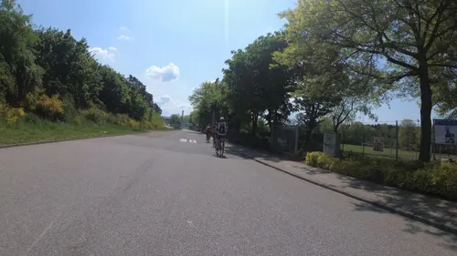


Ramstein Flightcatastrophe Memorial
Monument and historic site · 1.4 km
Behauener roter Sandstein als Denkmal. Auf der flachen Seite des Steines drei bronzene Gedenktafeln mit der o.g. Inschrift. Am Boden des...


Parks, trails and playgrounds5

Freizeitbad Azur
Sports field and stadium · 1.0 km
Mo 13:00-22:00; Tu-Fr 10:00-22:00; Sa 10:00-19:00; Su 09:00-19:00


Restaurants and cafes68

Benji's Birdhouse
Restaurant · Chicken, Burger, Sandwich · 0.9 km
54 Miesenbacher Str., Ramstein-Miesenbach
Tu-Su 11:00-21:00
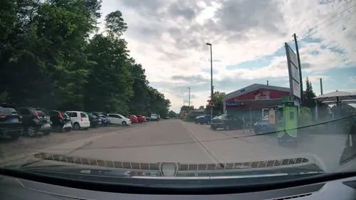
Big Emma
Restaurant · Burger, Steak House · 0.9 km
1C Reichswaldstraße, Ramstein-Miesenbach
Mo-Su 11:00-23:00

Romano's Macaroni Grill
Restaurant · Italian · 2.3 km
3336
Su 10:30-21:00; Mo-Fr 11:00-21:00; Sa 10:30-21:00

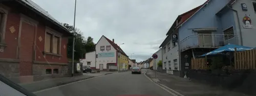


Viva la vida
Restaurant · Mexican · 0.9 km
45 Miesenbacher Straße, Ramstein-Miesenbach
Mo-Th 17:00-22:00; Fr-Sa 17:00-22:30; Su 12:00-22:00; Tu off

Aviv Bubble Tea
Cafe · Bubble Tea · 2.4 km
3336
Mo-Su 10:00-18:00
56 more on the map.
Where to stay13
Churches and places of worship11
Neuapostolische Kirche
Church · Apostolic · 1.6 km
5 Hangweg, Ramstein-Miesenbach
Protestantische Kirche
Church · Protestant · 1.7 km
16 Ringstraße, Ramstein-Miesenbach
Gemeindehaus - Kirche Jesu Christi der Heiligen der Letzten Tage
Church · 0.8 km
15 Ludwig-Erhard-Straße, Ramstein-Miesenbach
Shopping9
Gas and EV charging5
Schools, colleges and libraries5
Healthcare3
Marktapotheke
Clinic and pharmacy · 2.2 km
1 Kottweiler Straße, Ramstein-Miesenbach
Map of Ramstein-Miesenbach
130 places. The map loads OpenStreetMap tiles when you open it.
Getting there and nearby towns
Ramstein Air Base (RMS) is the nearest airport with scheduled flights listed in OpenStreetMap, 3 km away.
- Kaiserslautern 16 km east, about 16 min by car
- Waldmohr 17 km southwest, about 17 min by car
- Waldfischbach-Burgalben 20 km southeast, about 20 min by car
- Homburg 20 km southwest, about 20 min by car
- Bexbach 24 km southwest, about 24 min by car
- Rodalben 24 km south, about 24 min by car
- Zweibrücken 26 km southwest, about 26 min by car
- Winnweiler 25 km northeast, about 25 min by car
- Pirmasens 27 km south, about 27 min by car
- Sankt Wendel 28 km west, about 28 min by car
Drive times are estimates from straight-line distance, not routes.
Local news
Headlines from INDB.
Reviews, tips and questions
Loading what members have shared...
Sources and licences
- GeoNames (CC BY 4.0): population, coordinates, regions and time zone
- Mapillary (see each image): photos
- OpenStreetMap contributors (ODbL 1.0): places, airports, map data
- Wikidata (CC0 1.0): elevation, founding date, time zone, website, landmarks and historic places
- Wikimedia Commons (see each image): photos
- Wikipedia (CC BY-SA 4.0): overview and history text
Photo credits
- Kath. Kirche St. Nikolaus in Ramstein-Miesenbach (bearb Sp), padrei, CC BY 3.0
- Kath. Kirche St. Nikolaus in Ramstein-Miesenbach, padrei, CC BY 3.0
- Südwestlicher Rand des Siedlungsgebiets Ramstein-Miesenbach, Kaito508, CC BY-SA 4.0
- Westpfälzer Musikantenmuseum - Exponate, TeKaBe, CC BY-SA 4.0
- RamstMemorial3s, No machine-readable author provided. Wikiped~commonswiki assumed (based on copyright claims)., CC BY-SA 3.0
- Ramstein air show disaster memorial, U.S. Air Force photo/Tech. Sgt. Benjamin Wilson, Public domain
- Stadt Ramstein-Miesenbach Gedenkstein, Pfalz39, CC0
- Museum im Westrich, TeKaBe, CC BY-SA 4.0
- Aermacchi MB-339PAN, Italy - Air Force JP6596101, Aldo Bidini, GFDL 1.2
- Museum im Westrich - Kräuterkammer, TeKaBe, CC BY-SA 4.0
- Museum im Westrich - Dorfwirtschaft, TeKaBe, CC BY-SA 4.0
- Museum im Westrich - Tante-Emma-Laden, TeKaBe, CC BY-SA 4.0
- Museum im Westrich - Schultafel und Kinderwagen, TeKaBe, CC BY-SA 4.0
- Museum im Westrich - Wohnzimmer, TeKaBe, CC BY-SA 4.0
- Secretary Kerry Transfers Planes in Germany for Flight to Join President Obama in Saudi Arabia, U.S. Department of State from United States, Public domain
- Secretary Kerry Chats With Presidential Delegation En Route to Meet new King Salman, U.S. Department of State from United States, Public domain
- Secretary Kerry Discusses World Events With Veteran Government Officials Following Visit to Saudi Arabia (16357558676), U.S. Department of State from United States, Public domain
- Verlauf der Miesenbach, Kaito508, CC BY-SA 4.0
- RMS AIRPORT RAMSTEIN AFB USAF FLIGHT FRA-CDG (9332531531), Eric Salard, CC BY-SA 2.0
- Bahnbrücke Miesenbach, Kaito508, CC BY-SA 4.0
- Bahnhof2017, Kaito508, CC BY-SA 4.0
- Miesenbach Mündung Mohrbach, Kaito508, CC BY-SA 4.0
- Miesenbach Verlauf Süd, Kaito508, CC BY-SA 4.0
- RB12890 nach Kusel bei Miesenbach, Kaito508, CC BY-SA 4.0
- Mohrbach zwischen Ramstein und Miesenbach, Kaito508, CC BY-SA 4.0
- Mohrbachbrücke mit Regionalbahn bei Ramstein, Kaito508, CC BY-SA 4.0
- Privatstraße des Bundes, Lantus, CC BY-SA 3.0
- Norden Miesenbach, Kaito508, CC BY-SA 4.0
- Überlaufbach Seewoog Miesenbach, Kaito508, CC BY-SA 4.0
- Bahnhof Miesenbach, Kaito508, CC BY-SA 4.0
- RB12889 MIesenbach, Kaito508, CC BY-SA 4.0
- Street-level photo, Bulld0z3r, CC BY-SA 4.0
- Street-level photo, teddy73, CC BY-SA 4.0
- Street-level photo, teddy73, CC BY-SA 4.0
- Street-level photo, Bulld0z3r, CC BY-SA 4.0
- Street-level photo, teddy73, CC BY-SA 4.0
- Street-level photo, Bulld0z3r, CC BY-SA 4.0
- Street-level photo, teddy73, CC BY-SA 4.0
- Street-level photo, teddy73, CC BY-SA 4.0
- Street-level photo, Bulld0z3r, CC BY-SA 4.0
- Street-level photo, Bulld0z3r, CC BY-SA 4.0
- Street-level photo, Bulld0z3r, CC BY-SA 4.0
- Street-level photo, teddy73, CC BY-SA 4.0


Page built November 9, 2026. Spotted a mistake? Tell us or suggest a place.