


Why visit Lathen
Townapedia lists 11 museums and landmarks, 56 parks and trails, 30 places to eat, 10 places to stay and 7 attractions in and around town.
Highlights include Schwarzerberg, Transrapid Versuchsanlage Emsland (TVE), Transrapid 08 and Sportboothafen Lathen.
Weather in Lathen
Forecast from MET Norway (CC BY 4.0). Full forecast
About Lathen
Lathen is a municipality in the Emsland district, in Lower Saxony, Germany. It is the location of the Emsland Transrapid Test facility, a testing site for Transrapid maglev trains.
From the Wikipedia article Lathen (this version), under CC BY-SA 4.0.
Things to do7


Museums and landmarks11

Transrapid Versuchsanlage Emsland (TVE)
Monument and historic site · 2.1 km
23 Hermann-Kemper-Straße, Lathen


Parks, trails and playgrounds56


Sandtrockenrasen in der Kapellenmoorniederung
Hiking and trails · 5.0 km
§30-Biotop
Birkenbruch und Weidengebüsch westlich der Magnetschwebebahn
Hiking and trails · 3.1 km
Hochstaudensumpf in der Kapellenmoorniederung
Hiking and trails · 5.3 km
§30-Biotop
Magerrasen-Rest in der Kapellenmoorniederung
Hiking and trails · 4.4 km
§30-Biotop
Mesotrophes Stillgewässer in der Kapellenmoorniederung
Hiking and trails · 5.4 km
§30-Biotop
Sandrasen im Wegeseitenraum südlich Tannenkamp
Hiking and trails · 5.1 km
§30-Biotop
44 more on the map.
Restaurants and cafes30
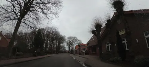
Gaststätte Weymann
Restaurant · 4.1 km
39 Marienstraße, Oberlangen
Tu-Fr 16:00-22:00; Sa-Su 10:00-22:00
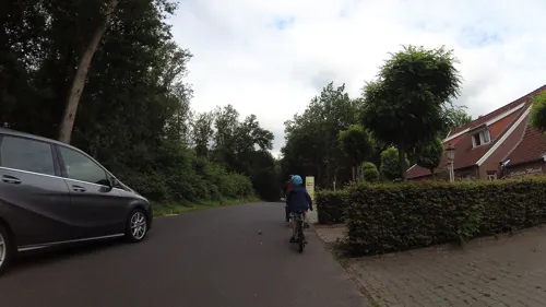
Hotel Restaurant Lathener Marsch
Restaurant · 1.4 km
4 Marschstraße, Lathen
Mo-Fr 12:00-14:00,17:00-21:00; Sa,Su,PH 12:00-14:00,17:00-21:00
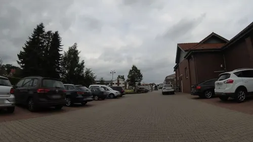
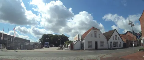
Istanbul Grill
Restaurant · Kebab, Pizza, Turkish · 0.6 km
1 Kolpingplatz
We-Mo 11:30-22:30
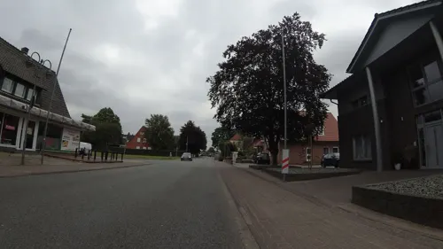
Jamas
Restaurant · Greek
28 Bahnhofstraße, Lathen
Tu-Su 17:00-22:00

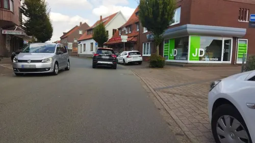
La Roma
Restaurant · Turkish · 0.7 km
36 Hauptstraße, Lathen
Tu-Fr 12:00-14:30,17:00-23:00; Sa 12:00-23:00; Su 12:00-23:00
Meyer
Bakery
1 Sögeler Straße, Lathen
Mo-Fr 06:00-19:00; Sa 06:00-14:00



18 more on the map.
Where to stay10
Churches and places of worship5
Shopping9
Gas and EV charging4
Schools, colleges and libraries3
Healthcare2
Map of Lathen
137 places. The map loads OpenStreetMap tiles when you open it.
Getting there and nearby towns
Flugplatz Varrelbusch (VAC) is the nearest airport with scheduled flights listed in OpenStreetMap, 49 km away.
- Haren 9 km southwest, about 9 min by car
- Sögel 13 km east, about 13 min by car
- Meppen 19 km south, about 19 min by car
- Papenburg 25 km north, about 25 min by car
- Haselünne 24 km southeast, about 24 min by car
- Werlte 24 km east, about 24 min by car
- Geeste 29 km south, about 29 min by car
- Twist 30 km southwest, about 30 min by car
- Löningen 32 km southeast, about 32 min by car
- Weener 34 km north, about 34 min by car
Drive times are estimates from straight-line distance, not routes.
Local news
Headlines from INDB.
Reviews, tips and questions
Loading what members have shared...
Sources and licences
- GeoNames (CC BY 4.0): population, coordinates, regions and time zone
- Mapillary (see each image): photos
- OpenStreetMap contributors (ODbL 1.0): places, airports, map data
- Wikidata (CC0 1.0): elevation, founding date, time zone, website
- Wikimedia Commons (see each image): photos
- Wikipedia (CC BY-SA 4.0): overview and history text
Photo credits
- Lathen - Burgstraße + Kirchengarten + St. Vitus 02 ies, Frank Vincentz, CC BY-SA 3.0
- Lathen - Am Bahnhof - Bahnhof 28 ies, Frank Vincentz, CC BY-SA 3.0
- Lathen - Am Bahnhof - Bahnhof 29 ies, Frank Vincentz, CC BY-SA 3.0
- Lathen - Am Bahnhof - Bahnhof 27 ies, Frank Vincentz, CC BY-SA 3.0
- Lathen - Am Bahnhof - Bahnhof 26 ies, Frank Vincentz, CC BY-SA 3.0
- Lathen - Am Bahnhof - Bahnhof 22 ies, Frank Vincentz, CC BY-SA 3.0
- Lathen - Am Bahnhof - Bahnhof 14 ies, Frank Vincentz, CC BY-SA 3.0
- Lathen - Am Bahnhof - Bahnhof 18 ies, Frank Vincentz, CC BY-SA 3.0
- Lathen - Am Bahnhof - Bahnhof 12 ies, Frank Vincentz, CC BY-SA 3.0
- Lathen - Am Bahnhof - Bahnhof 20 ies, Frank Vincentz, CC BY-SA 3.0
- Lathen - Am Bahnhof - Bahnhof 15 ies, Frank Vincentz, CC BY-SA 3.0
- Lathen - Am Bahnhof - Bahnhof 21 ies, Frank Vincentz, CC BY-SA 3.0
- Lathen - Am Bahnhof - Bahnhof 24 ies, Frank Vincentz, CC BY-SA 3.0
- Lathen - Am Bahnhof - Bahnhof 16 ies, Frank Vincentz, CC BY-SA 3.0
- Lathen - Am Bahnhof - Bahnhof 31 ies, Frank Vincentz, CC BY-SA 3.0
- Lathen - Am Bahnhof - Bahnhof 11 ies, Frank Vincentz, CC BY-SA 3.0
- Lathen - Am Bahnhof - Bahnhof 35 ies, Frank Vincentz, CC BY-SA 3.0
- Lathen - Am Bahnhof - Bahnhof 09 ies, Frank Vincentz, CC BY-SA 3.0
- Haus Sankt Marien Lathen-2013-05-03-DSCF6969, Martina Nolte, CC BY-SA 3.0 de
- Marktbrunnen in Lathen, Hans Herbers, CC0
- 2013-05-03 Fotoflug Leer Papenburg DSCF6962, Martina Nolte, CC BY-SA 3.0 de
- Lathen, Pfarrkirche Sankt Vitus IMG 7281 2020-08-08 14.56, Michielverbeek, CC BY-SA 4.0
- Transrapid, Unknown author, CC BY-SA 3.0
- 2013-05-03 Fotoflug Nordholz Papenburg HP 2207, Alchemist-hp ( talk ), CC BY-SA 3.0
- 2013-05-03 Fotoflug Nordholz Papenburg HP 2206, Alchemist-hp ( talk ), CC BY-SA 3.0
- 2013-05-03 Fotoflug Nordholz Papenburg HP 2205, Alchemist-hp ( talk ), CC BY-SA 3.0
- 2013-05-03 Fotoflug Nordholz Papenburg HP 2204, Alchemist-hp ( talk ), CC BY-SA 3.0
- 2013-05-03 Fotoflug Nordholz Papenburg HP 2200, Alchemist-hp ( talk ), CC BY-SA 3.0
- 2013-05-03 Fotoflug Nordholz Papenburg HP 2199, Alchemist-hp ( talk ), CC BY-SA 3.0
- 2013-05-03 Fotoflug Nordholz Papenburg HP 2196, Alchemist-hp ( talk ), CC BY-SA 3.0
- 2013-05-03 Fotoflug Nordholz Papenburg HP 2197, Alchemist-hp ( talk ), CC BY-SA 3.0
- 2013-05-03 Fotoflug Nordholz Papenburg HP 2198, Alchemist-hp ( talk ), CC BY-SA 3.0
- 2013-05-03 Fotoflug Nordholz Papenburg HP 2194, Alchemist-hp ( talk ), CC BY-SA 3.0
- 2013-05-03 Fotoflug Nordholz Papenburg HP 2195, Alchemist-hp ( talk ), CC BY-SA 3.0
- 2013-05-03 Fotoflug Nordholz Papenburg HP 2193, Alchemist-hp ( talk ), CC BY-SA 3.0
- 2013-05-03 Fotoflug Leer Papenburg DSCF6970, Martina Nolte, CC BY-SA 3.0 de
- Kettenrad auf Marktbrunnen, Hans Herbers, CC0
- Blume auf Marktbrunnen, Hans Herbers, CC0
- 2013-05-03 Fotoflug Leer Papenburg DSCF6968, Martina Nolte, CC BY-SA 3.0 de
- 2013-05-03 Fotoflug Nordholz Papenburg HP 2178, Alchemist-hp ( talk ), CC BY-SA 3.0
- Transrapid 07 in Lathen (2023), MagnetBahn, CC BY 4.0
- Street-level photo, teddy73, CC BY-SA 4.0
- Street-level photo, teddy73, CC BY-SA 4.0
- Street-level photo, teddy73, CC BY-SA 4.0
- Street-level photo, teddy73, CC BY-SA 4.0
- Street-level photo, teddy73, CC BY-SA 4.0
- Street-level photo, teddy73, CC BY-SA 4.0
- Street-level photo, teddy73, CC BY-SA 4.0
- Street-level photo, teddy73, CC BY-SA 4.0
- Street-level photo, changchun1, CC BY-SA 4.0
- Street-level photo, teddy73, CC BY-SA 4.0
- Street-level photo, teddy73, CC BY-SA 4.0
- Street-level photo, changchun1, CC BY-SA 4.0
- Street-level photo, changchun1, CC BY-SA 4.0
- Street-level photo, changchun1, CC BY-SA 4.0
- Street-level photo, teddy73, CC BY-SA 4.0
- Street-level photo, heetENkoel, CC BY-SA 4.0
- Street-level photo, teddy73, CC BY-SA 4.0
- Street-level photo, teddy73, CC BY-SA 4.0
- Street-level photo, ramap, CC BY-SA 4.0
- Street-level photo, teddy73, CC BY-SA 4.0
- Street-level photo, changchun1, CC BY-SA 4.0


Page built November 9, 2026. Spotted a mistake? Tell us or suggest a place.