


Why visit Naila
Townapedia lists 20 museums and landmarks, 11 parks and trails, 54 places to eat, 9 places to stay and 11 attractions in and around town.
Highlights include Erbsbühl, Hoher Bühl, Museum Naila and Historisches Weberhaus Marlesreuth.
Weather in Naila
Forecast from MET Norway (CC BY 4.0). Full forecast
About Naila
Naila (German pronunciation: [ˈnaɪlaː] ) is a town located in the Hof district of Bavaria, Germany. It lies in the Franconian Forest. Naila is 18 km (11 mi) from the larger city of Hof, on both banks of the Selbitz river.
From the Wikipedia article Naila (this version), under CC BY-SA 4.0.
Things to do11

Museums and landmarks20
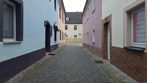


Landeplatz der Ballonflucht Pößneck-Naila am 16.09.1979
Monument and historic site · 2.4 km

8 more on the map.
Parks, trails and playgrounds11




Restaurants and cafes54

Bockpfeifer Selbitz
Restaurant · German · 2.8 km
Not only a restaurant but also a place to chill out. Young people mostly.
36 Badstraße, Selbitz
Th-Sa 18:00+; PH off
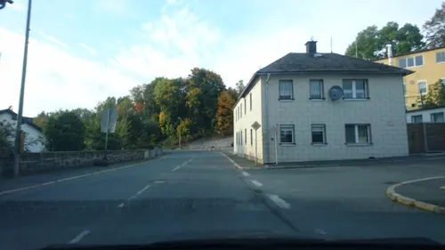
Café Weiss
Cafe · Regional, Coffee Shop · 3.4 km
1 Nailaer Straße, Selbitz
Mo-Fr 12:00-23:30; Su 11:00-23:00, Tu off
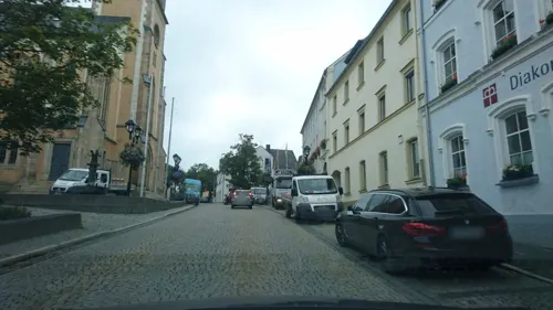
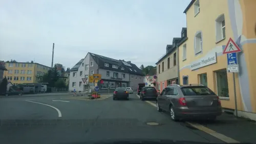
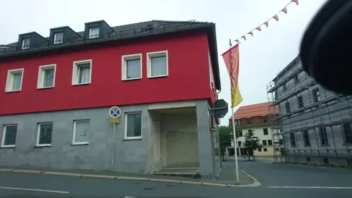
Pizzeria Bella Napoli
Restaurant · Italian, Pizza · 3.5 km
3 Bahnhofstraße, Selbitz
Mo-Su 11:00-14:00, 17:00-23:00; PH off; We off

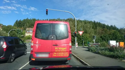
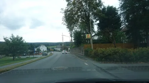


42 more on the map.
History
The earliest documentation of Naila was recorded on 9 January 1343. The first settlements in the area around Naila probably happened between the 12th and 14th century. The name Naila first appeared as "Neulins" (and variations thereof), has its origins most likely in the meaning "Small new settlement". In 1454, Naila was awarded a coat of arms by its overlord, Margrave John.
After a brief episode under Prussian reign (1792–1810), Naila was included into the newly-established Kingdom of Bavaria. In 1818, it was awarded town privileges and in 1886, a railroad station was opened in Naila. However, after World War II, the establishment of Iron Curtain just 8 km (5.0 mi) north of Naila, cut off a large part of the market for the local industries.
The town served as the seat of the then district of Naila until this was merged into Hof district in 1972, and had to give up their number-plate code NAI in favour of HO. In 1978, the nearby villages of Marxgrün, Lippertsgrün and Marlesreuth were incorporated to Naila.
In 1979, Naila was the landing site of the Strelzyk and Wetzel families' famous homemade hot-air balloon escape from East Germany.
From the History section of Naila on Wikipedia, under CC BY-SA 4.0.
Where to stay9
Jugend- und Freizeitheim der landeskirchlichen Gemeinsschaft Naila
Motel and hotel · 5.3 km
59, Issigau
Churches and places of worship15
Simon-und-Judas-Kirche
Church · Lutheran · 3.6 km
5 Johann-Thomas-Munzert-Straße, Naila
Königreichsaal der Zeugen Jehovas
Church · Jehovahs Witness · 0.7 km
11 Am Hammerberg, Naila
Shopping12
Gas and EV charging2
Schools, colleges and libraries11
Schule am Martinsberg - Privates Sonderpädagogisches Förderzentrum
School · 0.7 km
25 Gartenstraße, Naila
Staatl. Berufsfachschule für bekleidungstechn. Assistenten Naila
School
25 Stengelstraße, Naila
Healthcare5
Map of Naila
150 places. The map loads OpenStreetMap tiles when you open it.
Getting there and nearby towns
Verkehrslandeplatz Hof-Plauen (HOQ) is the nearest airport with scheduled flights listed in OpenStreetMap, 12 km away.
- Hof 15 km east, about 15 min by car
- Münchberg 17 km south, about 17 min by car
- Oberkotzau 18 km southeast, about 18 min by car
- Schwarzenbach an der Saale 20 km southeast, about 20 min by car
- Rehau 25 km east, about 25 min by car
- Kronach 28 km west, about 28 min by car
- Kulmbach 31 km southwest, about 31 min by car
- Stockheim 30 km west, about 30 min by car
- Oelsnitz 34 km east, about 34 min by car
- Plauen 36 km northeast, about 36 min by car
Drive times are estimates from straight-line distance, not routes.
Local news
Headlines from INDB.
Reviews, tips and questions
Loading what members have shared...
Sources and licences
- GeoNames (CC BY 4.0): population, coordinates, regions and time zone
- Mapillary (see each image): photos
- OpenStreetMap contributors (ODbL 1.0): places, airports, map data
- Wikidata (CC0 1.0): elevation, founding date, time zone, website
- Wikimedia Commons (see each image): photos
- Wikipedia (CC BY-SA 4.0): overview and history text
Photo credits
- Naila, Unknown author, CC BY-SA 2.5
- Naila, Friedhof (12), Subbass1, CC BY-SA 4.0
- Naila, Friedhof (16), Subbass1, CC BY-SA 4.0
- Naila, Friedhof (03), Subbass1, CC BY-SA 4.0
- Naila, Friedhof (09), Subbass1, CC BY-SA 4.0
- Naila, Friedhof (10), Subbass1, CC BY-SA 4.0
- Selbitz Kultur x002, PeterBraun74, CC BY-SA 3.0
- Kirche Bobengrün, Mef.ellingen, CC BY-SA 3.0
- Guenter Wetzel, Doris Strelzyk and Peter Strelzyk, Ken Hively, Los Angeles Times, CC BY 4.0
- NSG-00114.01 Thronbachtal (Landkreis Hof), Gliwi, CC BY-SA 4.0
- Naila, Verklärung Christi (01), Subbass1, CC BY-SA 4.0
- Lippertsgrün, Martin-Luther-Kirche (30), Subbass1, CC BY 3.0
- Selbitz, Maria Hilf (01), Subbass1, CC BY-SA 4.0
- Bobengrün, St. Paulus (31), Subbass1, CC BY-SA 4.0
- Kirche Naila, PeterBraun74, CC BY-SA 3.0
- Marlesreuth Kirche x1, PeterBraun74, CC BY-SA 3.0
- Church of Selbitz, Schlauchen ebt, CC BY-SA 3.0
- Issigau, Simon-und-Judas-Kirche (03), Subbass1, CC BY-SA 4.0
- Selbitz Kultur x001, PeterBraun74, CC BY-SA 3.0
- Mapillary (hdmn) 2017-09-21 12H05M55S275 (511571670016543 at pPMaOydTvNZx5RzDT2ch7A with Sony E5823), hdmn, CC BY-SA 4.0
- Mapillary (hdmn) 2017-09-21 12H05M56S301 (471426664090118 at pPMaOydTvNZx5RzDT2ch7A with Sony E5823), hdmn, CC BY-SA 4.0
- Mapillary (hdmn) 2017-09-21 12H05M57S212 (534986564339375 at pPMaOydTvNZx5RzDT2ch7A with Sony E5823), hdmn, CC BY-SA 4.0
- Mapillary (hdmn) 2017-09-21 12H05M54S232 (490441625419788 at pPMaOydTvNZx5RzDT2ch7A with Sony E5823), hdmn, CC BY-SA 4.0
- Mapillary (hdmn) 2017-09-21 12H05M53S246 (6377430842283069 at pPMaOydTvNZx5RzDT2ch7A with Sony E5823), hdmn, CC BY-SA 4.0
- Mapillary (hdmn) 2017-09-21 12H05M58S264 (781383859218211 at pPMaOydTvNZx5RzDT2ch7A with Sony E5823), hdmn, CC BY-SA 4.0
- Mapillary (hdmn) 2017-09-21 12H05M52S191 (370818714347132 at pPMaOydTvNZx5RzDT2ch7A with Sony E5823), hdmn, CC BY-SA 4.0
- Mapillary (hdmn) 2017-09-21 12H05M59S290 (379165846673996 at pPMaOydTvNZx5RzDT2ch7A with Sony E5823), hdmn, CC BY-SA 4.0
- Mapillary (hdmn) 2017-09-21 12H06M00S297 (487137759302050 at pPMaOydTvNZx5RzDT2ch7A with Sony E5823), hdmn, CC BY-SA 4.0
- Mapillary (hdmn) 2017-09-21 12H05M51S214 (312646733721100 at pPMaOydTvNZx5RzDT2ch7A with Sony E5823), hdmn, CC BY-SA 4.0
- Mapillary (hdmn) 2017-09-21 12H06M01S290 (536671327322679 at pPMaOydTvNZx5RzDT2ch7A with Sony E5823), hdmn, CC BY-SA 4.0
- Mapillary (hdmn) 2017-09-21 12H05M50S289 (317785249700429 at pPMaOydTvNZx5RzDT2ch7A with Sony E5823), hdmn, CC BY-SA 4.0
- Mapillary (hdmn) 2017-09-21 12H06M02S391 (476861016954120 at pPMaOydTvNZx5RzDT2ch7A with Sony E5823), hdmn, CC BY-SA 4.0
- Mapillary (hdmn) 2017-09-21 12H06M03S289 (802313307082116 at pPMaOydTvNZx5RzDT2ch7A with Sony E5823), hdmn, CC BY-SA 4.0
- Mapillary (hdmn) 2017-09-21 12H06M04S311 (260535065815607 at pPMaOydTvNZx5RzDT2ch7A with Sony E5823), hdmn, CC BY-SA 4.0
- Mapillary (hdmn) 2017-09-21 12H05M49S211 (3949240168489416 at pPMaOydTvNZx5RzDT2ch7A with Sony E5823), hdmn, CC BY-SA 4.0
- Mapillary (hdmn) 2017-09-21 12H06M05S314 (2879698895623519 at pPMaOydTvNZx5RzDT2ch7A with Sony E5823), hdmn, CC BY-SA 4.0
- Mapillary (hdmn) 2017-09-21 12H06M07S333 (3173285009565030 at pPMaOydTvNZx5RzDT2ch7A with Sony E5823), hdmn, CC BY-SA 4.0
- Mapillary (hdmn) 2017-09-21 12H06M06S362 (811321863095400 at pPMaOydTvNZx5RzDT2ch7A with Sony E5823), hdmn, CC BY-SA 4.0
- Mapillary (hdmn) 2017-09-21 12H06M49S652 (518023119328740 at pPMaOydTvNZx5RzDT2ch7A with Sony E5823), hdmn, CC BY-SA 4.0
- Mapillary (hdmn) 2017-09-21 12H06M50S720 (160074932725987 at pPMaOydTvNZx5RzDT2ch7A with Sony E5823), hdmn, CC BY-SA 4.0
- Street-level photo, hdmn, CC BY-SA 4.0
- Street-level photo, hdmn, CC BY-SA 4.0
- Street-level photo, hdmn, CC BY-SA 4.0
- Street-level photo, InvictusBM, CC BY-SA 4.0
- Street-level photo, hdmn, CC BY-SA 4.0
- Street-level photo, hdmn, CC BY-SA 4.0
- Street-level photo, hdmn, CC BY-SA 4.0
- Street-level photo, wegavision, CC BY-SA 4.0
- Street-level photo, hdmn, CC BY-SA 4.0
- Street-level photo, hdmn, CC BY-SA 4.0
- Street-level photo, hdmn, CC BY-SA 4.0
- Street-level photo, canislupus, CC BY-SA 4.0
- Street-level photo, hdmn, CC BY-SA 4.0
- Street-level photo, hdmn, CC BY-SA 4.0
- Street-level photo, hdmn, CC BY-SA 4.0
- Street-level photo, hdmn, CC BY-SA 4.0


Page built November 9, 2026. Spotted a mistake? Tell us or suggest a place.