


Why visit Oberthal
Townapedia lists 22 museums and landmarks, 9 parks and trails, 67 places to eat, 4 places to stay and 17 attractions in and around town.
Highlights include Leißberg, Losenberg, Jüdischer Friedhof and The Philippi Collection.
Weather in Oberthal
Forecast from MET Norway (CC BY 4.0). Full forecast
About Oberthal
Oberthal is a municipality in the district of Sankt Wendel, in Saarland, Germany. It is situated approximately 7 km northwest of Sankt Wendel, and 35 km north of Saarbrücken.
From the Wikipedia article Oberthal, Saarland (this version), under CC BY-SA 4.0.
Photos of Oberthal


Things to do17

5 more on the map.
Museums and landmarks22

The Philippi Collection
Museum · 5.1 km
Private collection of religious headgear

Vicus Wareswald
Monument and historic site · 2.7 km
Archaeological site in St. Wendel, Germany
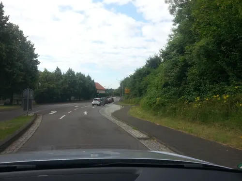
Gedenkkreuz Scheid an der Hol
Monument and historic site · 4.6 km
Das schlanke, weiß gefasste Kreuz erhebt sich auf einem barock anmutenden, seitlich konvexen Sockel aus dunkelrotem Sandstein. In den...
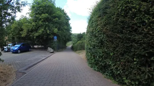
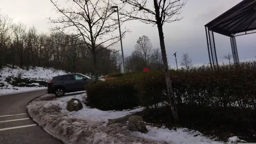
Votivkreuz Scheid
Monument and historic site · 4.6 km
Das Votivkreuz stand ehemals (1821) an der Südseite des alten Herrenhauses. Es wurde durch Pater Prior Hauk im Jahr 1961 auf neuem...
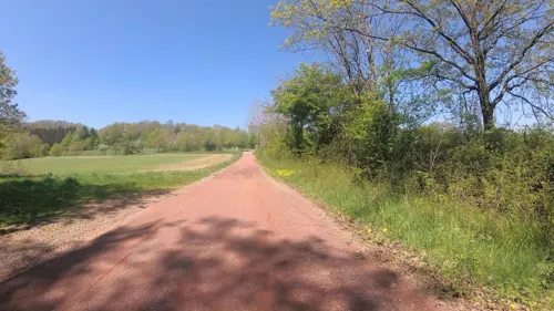
Wegekreuz am Junkerwald
Monument and historic site · 3.5 km
Im Jahr 2007 wurde an dem Wendelinus-Wanderweg ein neues Wegekreuz am Junkerwald errichtet. Vor dem Kreuz ist der oben erwähnte...

ehem. Wasserburg
Monument and historic site · 3.1 km
Lt Burgenforscher Robert SEYLER befinden sich hier die Reste einer Wasserburg

Pfaffenstein
Monument and historic site · 2.2 km
Abtstab = Abtei Tholey, Wolfsangel = Grafschaft Valdenz - Sötern, Buchstaben VF = Valdenzer Forst,

Gedenkstein an die Gefallenen 1914 -18
Monument and historic site · 1.0 km
Unter der Inschrift oben stehen die Namen der im Krieg 1914/18 gefallenen Soldaten des Oetes. Das Kreuz dahinter steht auf dem Aussichts...

Kriegsgräberstätte
Cemetery · 3.7 km
Gräber von sowjetischen Zwangsarbeitern/-arbeiterinnen auf der nicht belegten Fläche des ehemaligen Jüdischen Friedhofes
10 more on the map.
Parks, trails and playgrounds9
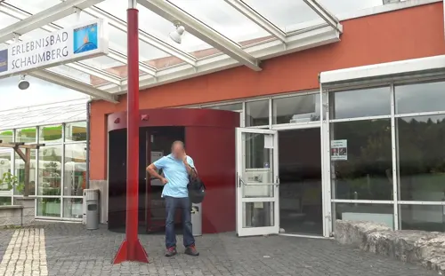
Erlebnisbad Schaumberg
Sports field and stadium · 4.0 km
Mo 13:00-22:00, Tu-Th 10:00-22:00, Fr 10:00-23:00, Sa,Su,PH...



Restaurants and cafes67
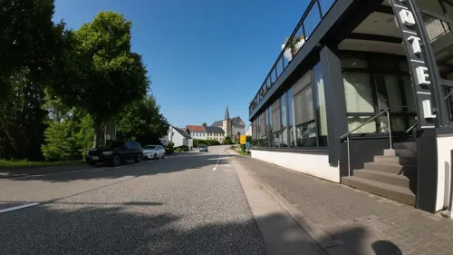
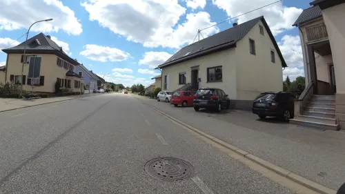
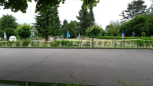
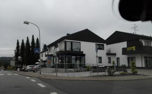
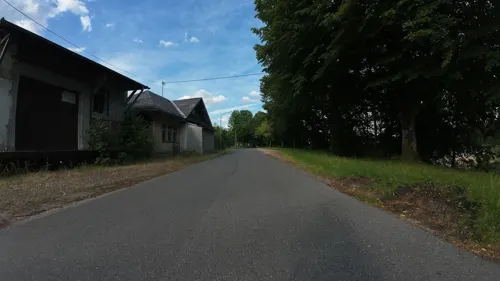
Gasthaus Zum Bahnhof
Bar and pub
Tu 19:00+ "Heimat-Abend"; Su 11:00+ "Stammtisch"
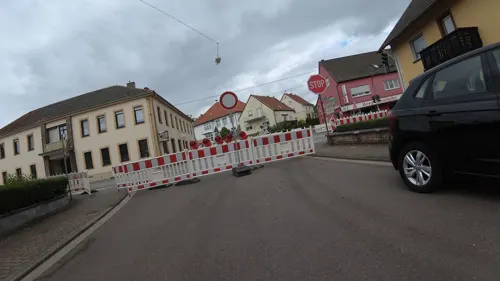
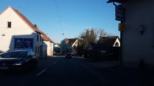

Pizzeria Romantica
Restaurant · Italian · 4.2 km
Mo 17:30-23:00; We-Sa 17:30-23:00; Su,PH 11:30-14:00,17:30-23:00
55 more on the map.
Where to stay4
Churches and places of worship14
Pfarrkirche Heilige Familie
Church · Catholic · 4.4 km
2 Poststraße, Sankt Wendel
Shopping8
Gas and EV charging3
Schools, colleges and libraries7
Healthcare5
Map of Oberthal
156 places. The map loads OpenStreetMap tiles when you open it.
Getting there and nearby towns
Saarbrücken Airport (SCN) is the nearest airport with scheduled flights listed in OpenStreetMap, 33 km away.
- Tholey 5 km southwest, about 5 min by car
- Marpingen 7 km south, about 7 min by car
- Sankt Wendel 8 km southeast, about 8 min by car
- Nohfelden 9 km northeast, about 9 min by car
- Ottweiler 14 km southeast, about 14 min by car
- Wadern 15 km west, about 15 min by car
- Eppelborn 15 km southwest, about 15 min by car
- Illingen 16 km south, about 16 min by car
- Schiffweiler 17 km south, about 17 min by car
- Lebach 17 km southwest, about 17 min by car
Drive times are estimates from straight-line distance, not routes.
Towns near Oberthal


Local news
Headlines from INDB.
Reviews, tips and questions
Loading what members have shared...
Sources and licences
- GeoNames (CC BY 4.0): population, coordinates, regions and time zone
- Mapillary (see each image): photos
- OpenStreetMap contributors (ODbL 1.0): places, airports, map data
- Wikidata (CC0 1.0): elevation, founding date, time zone, website, landmarks and historic places
- Wikimedia Commons (see each image): photos
- Wikipedia (CC BY-SA 4.0): overview and history text
Photo credits
- Oberthal-Kreuz-Groniger Straße-20080413-04, Speifensender, CC BY-SA 3.0
- Oberthal-Kreuz-Groniger Straße-20080413-02, Speifensender, CC BY-SA 3.0
- Oberthal-Kreuz-Groniger Straße-20080413-03, Speifensender, CC BY-SA 3.0
- Oberthal - Rathaus - 20151023, Speifensender, CC BY-SA 3.0
- Oberthal-Teufelskanzel-20081026-01, Speifensender, CC BY-SA 3.0
- Sammlung Philippi Stuecke, Dieter Philippi, CC BY-SA 3.0
- Ausgrabungsstaette Wareswald, Pascal Dihé, CC BY-SA 4.0
- Oberthal, St. Stephanus (2), Cmcmcm1, CC BY-SA 3.0
- Bliesen St. Remigius 07, atreyu, CC BY-SA 3.0
- Jüdischer Friedhof Tholey im Saarland, L.Sieht, CC BY-SA 3.0
- Winterbach Heilige Familie 01, atreyu, CC BY-SA 3.0
- Hofeld-Schlossberg-20091019-20-cropped, Speifensender, CC BY-SA 3.0
- Neunkirchen (Nahe), St. Martin (11), Cmcmcm1, CC BY-SA 3.0
- Gronig, St. Donatus (42), Cmcmcm1, CC BY-SA 3.0
- Jüdischer Friedhof Tholey, L.Sieht, CC BY-SA 3.0
- Ehemalige Wasserburg bei der Nohmuehle, Pascal Dihé, CC BY-SA 4.0
- Grenzstein Selbach 01, Pelayo 08, CC BY-SA 4.0
- Jüdischer Friedhof Tholey Saarland, L.Sieht, CC BY-SA 3.0
- Tank-wagons-left-over-1, Pimvantend, CC BY-SA 3.0
- Gronig-Kreuz-Humweiler Strasse-2008-04-13-02, Speifensender, CC BY-SA 3.0
- Tank-wagons-left-over-2, Pimvantend, CC BY-SA 3.0
- Bridge-in-wendelinus-radweg, Pimvantend, CC BY-SA 3.0
- Gronig-Kreuz-Humweiler Strasse-Mombergstrasse-2008-04-13-02, Speifensender, CC BY-SA 3.0
- Gronig-Kreuz-Humweiler Strasse-Mombergstrasse-2008-04-13-01, Speifensender, CC BY-SA 3.0
- Sculpture-on-the-Wendelinus-Radweg-01, Pimvantend, CC BY-SA 3.0
- Laetiporus sulphureus - Bliesen - Bauernstall - 2019-09-02, 4, Speifensender, CC0
- Laetiporus sulphureus - Bliesen - Bauernstall - 2019-09-02, 5, Speifensender, CC0
- Laetiporus sulphureus - Bliesen - Bauernstall - 2019-09-02, 6, Speifensender, CC0
- Laetiporus sulphureus - Bliesen - Bauernstall - 2019-09-02, 1, Speifensender, CC0
- Laetiporus sulphureus - Bliesen - Bauernstall - 2019-09-02, 3, Speifensender, CC0
- Laetiporus sulphureus - Bliesen - Bauernstall - 2019-09-02, 2, Speifensender, CC0
- Street-level photo, teddy73, CC BY-SA 4.0
- Street-level photo, teddy73, CC BY-SA 4.0
- Street-level photo, teddy73, CC BY-SA 4.0
- Street-level photo, teddy73, CC BY-SA 4.0
- Street-level photo, teddy73, CC BY-SA 4.0
- Street-level photo, teddy73, CC BY-SA 4.0
- Street-level photo, teddy73, CC BY-SA 4.0
- Street-level photo, teddy73, CC BY-SA 4.0
- Street-level photo, teddy73, CC BY-SA 4.0
- Street-level photo, teddy73, CC BY-SA 4.0
- Street-level photo, ramap, CC BY-SA 4.0
- Street-level photo, teddy73, CC BY-SA 4.0
- Street-level photo, teddy73, CC BY-SA 4.0
- Street-level photo, teddy73, CC BY-SA 4.0
- Street-level photo, changchun1, CC BY-SA 4.0
- Street-level photo, teddy73, CC BY-SA 4.0
- Street-level photo, teddy73, CC BY-SA 4.0
- Street-level photo, teddy73, CC BY-SA 4.0
- Street-level photo, teddy73, CC BY-SA 4.0
- Street-level photo, changchun1, CC BY-SA 4.0
- Street-level photo, teddy73, CC BY-SA 4.0
- Street-level photo, teddy73, CC BY-SA 4.0


Page built November 9, 2026. Spotted a mistake? Tell us or suggest a place.