


Why visit Otterberg
Townapedia lists 28 museums and landmarks, 10 parks and trails, 44 places to eat, 6 places to stay and 25 attractions in and around town.
Highlights include Pfalztheater, Schlachtenturm, Motorradmuseum Heinz Luthringshauser and Ritterstein 291 "Grafenthaler Hof".
Weather in Otterberg
Forecast from MET Norway (CC BY 4.0). Full forecast
About Otterberg
Otterberg (German pronunciation: [ˈɔtɐˌbɛʁk] ) is a town in the district of Kaiserslautern in the German state of Rhineland-Palatinate with about 7,350 (as of 6/2006) inhabitants. It is situated approximately 7 kilometres (4 mi) north of Kaiserslautern.
From the Wikipedia article Otterberg (this version), under CC BY-SA 4.0.
Photos of Otterberg


Things to do25

Pfalztheater
Cinema and theater · 6.3 km
Theater und Opernhaus in Kaiserslautern, Rheinland-Pfalz


13 more on the map.
Museums and landmarks28
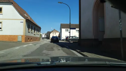
Motorradmuseum Heinz Luthringshauser
Museum · 2.8 km
Ehemalige evangelische Kirche
4 Otterstraße, Otterbach

Ritterstein 291 "Grafenthaler Hof"
Monument and historic site · 2.3 km
Nordwestlich von Otterberg, im Grafenthal zwischen Knieberg, Andreasberg und Bruchberg. Erbaut 1712, später Forsthaus, 1977 abgerissen,...



Schluchtsteig
Monument and historic site · 4.0 km
Schild in der Art eines Tordurchganges
16 more on the map.
Parks, trails and playgrounds10

Betzenberg Wildlife Park
Park · 8.1 km
Zoo in Kaiserslautern, Germany


Freibad Waschmühle
Sports field and stadium · 4.7 km
1 Waschmühle, Kaiserslautern
Mo-Su 08:00-20:00; Tu 12:00-20:00


Restaurants and cafes44
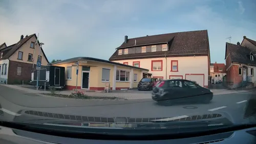
Doppelbäcker
Restaurant · Italian · 2.9 km
Mein Ziel ist es, gute und hochwertige Nudeln anzubieten. Nur mit natürlichen Zutaten arbeiten. Auf Sonderwünsche eingehen (Vegan,...
1 Kapellenstraße, Otterbach
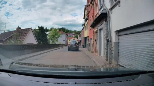
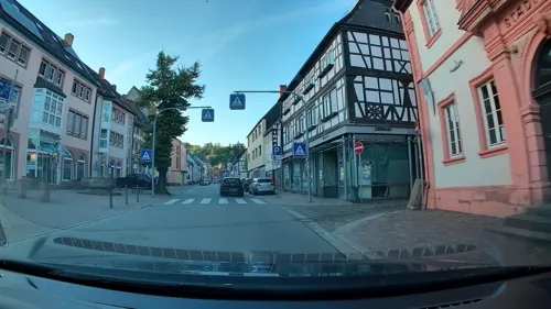
Pu-Tai
Restaurant · Thai
1 Kirchstraße, Otterberg
Tu-Su 17:00-22:00
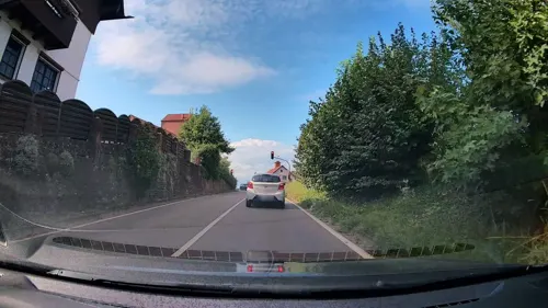
Restaurant Hasselberg
Restaurant · Italian · 3.9 km
11 Otterbacher Straße, Kaiserslautern
We-Sa 17:00-22:00; Su 11:30-14:30
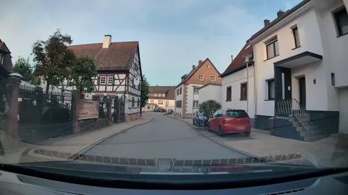
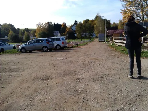
Da Mimo
Restaurant · 5.1 km
4 Alte Brücke, Katzweiler
Mo, We-Fr 17:00-21:00; Sa, Su 11:00-20:00
World of Kebab
Restaurant · Turkish · 3.2 km
40 Konrad-Adenauer-Straße, Otterbach
Th-Tu 11:00-22:00; We off
Backhaus Scheidt
Bakery · 3.8 km
13 Zum Bornberg, Kaiserslautern
Mo-Sa 06:00-12:00

Pizzeria Bei Franco
Restaurant · Italian · 2.6 km
7a Am Matzenberg, Kaiserslautern
Tu-Sa 17:00-23:00; Su,PH 10:00-14:00,17:00-22:30
Gaststätte s’Wow
Restaurant · German · 4.9 km
117 Hauptstraße, Mehlbach
Th-Sa 17:00-22:00; Su,PH 11:30-22:00
32 more on the map.
History
1380 The monastery was in steady decline beginning about 1380 until the 15th century.
1504 During the Bavaria-Landshut War of Succession, the monastery was plundered.
1525 During the German Peasants' War (Bauernkrieg); the insurgent peasants fell on the remainder of the monastery.
1564 The monastery was left open. The gates of Otterberg were opened.
1579 Pfalzgraf Johann Casimir invited religious refugees from the Spanish Netherlands to settle Otterberg and there was active settlement by the Walloons. They used the stones of the monastery complex for the building of their houses, so that today only the abbey church and the chapter hall remain.
1581 Gained town privileges from Pfalzgraf (Count-Palatine) Johann Casimir.
1582 to 1593 Many previous residents of Otterberg were in Frankenthal.
1618 to 1648 The Thirty Years' War severely affected the area.
1689 Many residents of Otterberg arrived in Holzappel under the leadership of Charles Faucher after a long period of wandering after fleeing Otterberg due to the War of the League of Augsburg which lasted from 1688 to 1697.
1708 Joint use of the church by the Protestants and Catholics led to problems. The solution was to add a wall inside the church so that the Catholic part (in the transept) was separated from the Protestant part (in the nave).
Read more of the history
1979 During a very extensive restoration project, this wall was removed. The church is now shared by both church communities.
From the History section of Otterberg on Wikipedia, under CC BY-SA 4.0.
Where to stay6
Churches and places of worship12
Evangelische Kirche Erlenbach
Church · Protestant · 2.6 km
9 Im Nauwald, Kaiserslautern
Protestantische Kirche
Church · Protestant · 4.8 km
43 Brunnenring, Kaiserslautern
Mariä-Empfängnis-Kirche
Church · Roman Catholic · 5.1 km
15 Kapellenhof, Kaiserslautern
Protestantische Kirche Mehlbach
Church · Protestant · 4.6 km
19 Hebelstraße, Mehlbach
Shopping13
Gas and EV charging4
Schools, colleges and libraries10
Healthcare4
Map of Otterberg
156 places. The map loads OpenStreetMap tiles when you open it.
Getting there and nearby towns
Ramstein Air Base (RMS) is the nearest airport with scheduled flights listed in OpenStreetMap, 14 km away.
- Kaiserslautern 7 km south, about 7 min by car
- Winnweiler 9 km northeast, about 9 min by car
- Rockenhausen 15 km north, about 15 min by car
- Ramstein-Miesenbach 17 km southwest, about 17 min by car
- Eisenberg 23 km east, about 23 min by car
- Waldfischbach-Burgalben 26 km south, about 26 min by car
- Bad Dürkheim 29 km east, about 29 min by car
- Grünstadt 29 km east, about 29 min by car
- Herxheim am Berg 30 km east, about 30 min by car
- Neustadt an der Weinstraße 32 km southeast, about 32 min by car
Drive times are estimates from straight-line distance, not routes.
Towns near Otterberg


Local news
Headlines from INDB.
Reviews, tips and questions
Loading what members have shared...
Sources and licences
- GeoNames (CC BY 4.0): population, coordinates, regions and time zone
- Mapillary (see each image): photos
- OpenStreetMap contributors (ODbL 1.0): places, airports, map data
- Wikidata (CC0 1.0): elevation, founding date, time zone, website, landmarks and historic places
- Wikimedia Commons (see each image): photos
- Wikipedia (CC BY-SA 4.0): overview and history text
Photo credits
- Otterberg mit Abteikirche (255732090), Carsten Stemm from Kaiserslautern, Germany, CC BY-SA 2.0
- Die Abteikirche Otterberg ist nach dem Speyerer Dom die größte Kirche der Pfalz. - panoramio, Immanuel Giel, CC BY 3.0
- Otterberg, die Hauptstraße, Dguendel, CC BY 3.0
- Otterberg, Haus Hauptstraße 59, Dguendel, CC BY 3.0
- Otterberg, Abteikirche, Dguendel, CC BY 3.0
- Otterbergian Nativity - panoramio, Kantiki, CC BY-SA 3.0
- Otterberg, das alte Stadthaus, Dguendel, CC BY 3.0
- Otterberg BW 2012-12-06 11-28-05 1, Berthold Werner, CC BY-SA 3.0
- Otterberg, das Haus am Kreuz, Dguendel, CC BY 3.0
- Otterbergian Park - panoramio, Kantiki, CC BY-SA 3.0
- Otterberg, das Gasthaus "Zur Krone", Dguendel, CC BY 3.0
- Otterberg-Abteikirche-32-zum Chor-2022-gje, Gerd Eichmann, CC BY-SA 4.0
- Otterberg BW 2012-12-06 11-38-46, Berthold Werner, CC BY-SA 3.0
- Otterberg BW 2012-12-06 11-38-46 Chor, Berthold Werner, CC BY-SA 3.0
- Otterberg, Haus Hauptstraße 36, Dguendel, CC BY 3.0
- Otterberg-Abteikirche-42-zum Westportal-2022-gje, Gerd Eichmann, CC BY-SA 4.0
- Otterberg-Abteikirche-44-zum Westportal-2022-gje, Gerd Eichmann, CC BY-SA 4.0
- Otterberg-Abteikirche-38-Orgel-2022-gje, Gerd Eichmann, CC BY-SA 4.0
- Otterberg-Abteikirche-36-zum Chor-2022-gje, Gerd Eichmann, CC BY-SA 4.0
- Otterberg-Abteikirche-34-zum Chor-2022-gje, Gerd Eichmann, CC BY-SA 4.0
- Otterberg-Abteikirche-48-Rosette-2022-gje, Gerd Eichmann, CC BY-SA 4.0
- Otterberg-Abteikirche-46-Rosette-2022-gje, Gerd Eichmann, CC BY-SA 4.0
- Otterbergian Moss - panoramio, Kantiki, CC BY-SA 3.0
- Otterberg, die Abteikirche, Innenansicht-2, Dguendel, CC BY 3.0
- Otterberg, die Abteikirche, Altar und Kerzenständer, Dguendel, CC BY 3.0
- Otterberg, die Abteikirche, Marienstatue, Dguendel, CC BY 3.0
- Otterberg, die Abteikirche, Innenansicht-1, Dguendel, CC BY 3.0
- Otterberg, die Abteikirche, Orgel, Dguendel, CC BY 3.0
- Otterberg, die Abteikirche, Fensterrose, Dguendel, CC BY 3.0
- Pfalztheater panorama, Adam Schmalhofer ( Bluebirch, CC BY 2.5
- Wildpark KL Stein, Frank11NR on German Wikipedia, Public domain
- ZOO-KL-Eingang, TeKaBe, CC BY-SA 4.0
- Otterberg-Abteikirche-02-Westfassade-2022-gje, Gerd Eichmann, CC BY-SA 4.0
- Schlachtenturm-01, Muck, CC BY-SA 4.0
- Morlautern, Protestantische Kirche 20220814, P170, CC BY-SA 4.0
- Protestantische Kirche Otterbach 01, Immanuel Giel, CC0
- Morlautern, Kirche St. Bartholomäus 20220814, P170, CC BY-SA 4.0
- Ritterstein 291 Ehem Grafenthaler Hof, Pfalz39, CC0
- Schornsteine - panoramio, Immanuel Giel, CC BY 3.0
- Altstadt - panoramio (2), Immanuel Giel, CC BY 3.0
- Otterberg, der Brunnenstein, Dguendel, CC BY 3.0
- Street-level photo, Bulld0z3r, CC BY-SA 4.0
- Street-level photo, Bulld0z3r, CC BY-SA 4.0
- Street-level photo, Bulld0z3r, CC BY-SA 4.0
- Street-level photo, b166er, CC BY-SA 4.0
- Street-level photo, Bulld0z3r, CC BY-SA 4.0
- Street-level photo, Bulld0z3r, CC BY-SA 4.0
- Street-level photo, b166er, CC BY-SA 4.0
- Street-level photo, b166er, CC BY-SA 4.0
- Street-level photo, edddy, CC BY-SA 4.0
- Street-level photo, changchun1, CC BY-SA 4.0
- Street-level photo, wegavision, CC BY-SA 4.0
- Street-level photo, Bulld0z3r, CC BY-SA 4.0
- Street-level photo, b166er, CC BY-SA 4.0
- Street-level photo, b166er, CC BY-SA 4.0
- Street-level photo, Bulld0z3r, CC BY-SA 4.0
- Street-level photo, changchun1, CC BY-SA 4.0
- Street-level photo, Bulld0z3r, CC BY-SA 4.0
- Street-level photo, Bulld0z3r, CC BY-SA 4.0
- Street-level photo, Bulld0z3r, CC BY-SA 4.0
- Street-level photo, Bulld0z3r, CC BY-SA 4.0
- Street-level photo, Bulld0z3r, CC BY-SA 4.0
- Street-level photo, Bulld0z3r, CC BY-SA 4.0
- Street-level photo, wegavision, CC BY-SA 4.0
- Street-level photo, b166er, CC BY-SA 4.0
- Street-level photo, edddy, CC BY-SA 4.0


Page built November 9, 2026. Spotted a mistake? Tell us or suggest a place.