


Why visit Winnweiler
Townapedia lists 21 museums and landmarks, 3 parks and trails, 21 places to eat, 5 places to stay and 17 attractions in and around town.
Highlights include Steinberg, Museum Winnweiler and Alte Museums-Schmiede.
Weather in Winnweiler
Forecast from MET Norway (CC BY 4.0). Full forecast
About Winnweiler
Winnweiler (German pronunciation: [ˈvɪnvaɪlɐ]) is a municipality in the Donnersbergkreis, in Rhineland-Palatinate, Germany. It is situated on the upper course of the river Alsenz, approx. 15 km (9.3 mi) north-east of Kaiserslautern. Winnweiler is the seat of the Verbandsgemeinde ("collective municipality") Winnweiler.
From the Wikipedia article Winnweiler (this version), under CC BY-SA 4.0.
Things to do17

5 more on the map.
Museums and landmarks21




9 more on the map.
Parks, trails and playgrounds3



Restaurants and cafes21
Nordpfälzer Edelobst und Whiskydestille
Brewery and winery
20b Schulstraße, Winnweiler
Th,Fr 16:00-20:00; Sa 10:00-13:00

Hohlsteinhütte
Restaurant · Palatinatian, Cake · 3.7 km
Ostern und Pfingsten nur montags geöffnet, Fronleichnam geschlossen
Apr-Jun,Sep-Oct PH,Su 10:00-18:00
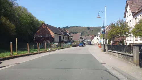
Restaurant Sorbas
Restaurant · Greek · 1.2 km
116 Alsenzstraße, Winnweiler
17:00-23:00; We off; Su,PH 11:00-14:00, 17:00-23:00
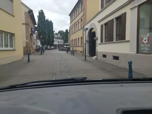
Ristorante Garden
Restaurant · Italian
Warme Küche bis 11:00 und ab 17:00. Tagesessen Mo-Fr 11:00-14:00
11:00-23:00 "winter We off"
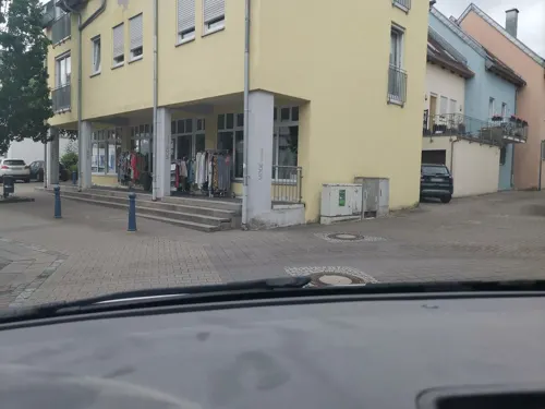
Maison Dao asian fusion cuisine
Restaurant · Asian
13 Schloßstraße, Winnweiler
Tu-Su 11:30-14:00,17:00-21:30
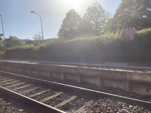
Gaststätte Bürgerhaus
Restaurant · Pizza, German · 3.2 km
Tu-Sa 18:00+; Su 11:30-14:00, 18:00+
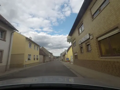
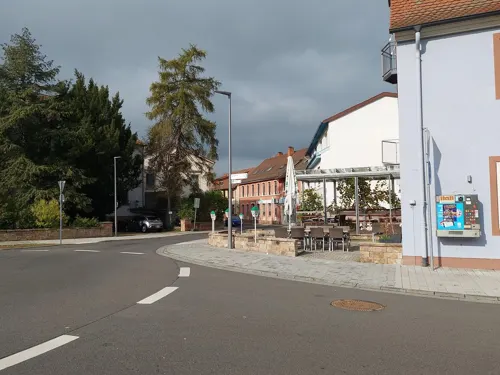
Pizzeria Milano
Restaurant
44 Schloßstraße, Winnweiler
Mo-Sa 11:00-14:00,17:00-23:00; PH,Su 11:00-14:00,16:00-23:00
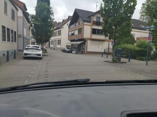
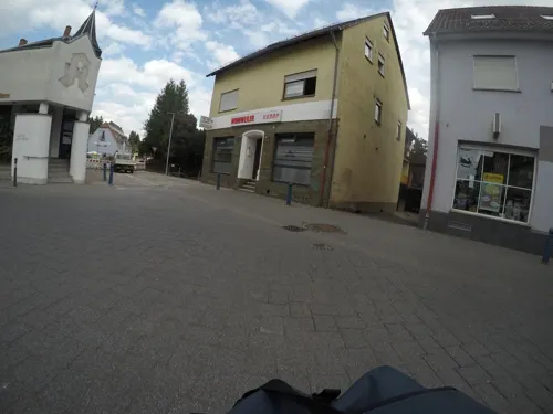


Zum Schnorres
Bar and pub
30 Schloßstraße, Winnweiler
"Wenn die Funzel brennt simmer do!"
9 more on the map.
Where to stay5
Wohnmobil Stellplatz Lohnsbach
Campground · 1.8 km
16 Münchweilerstraße, Lohnsfeld
Churches and places of worship8
St. Jakobus der Ältere
Church · Roman Catholic · 1.8 km
2 Otterberger Straße, Lohnsfeld
Shopping3
Gas and EV charging1
Schools, colleges and libraries7
Healthcare2
Map of Winnweiler
88 places. The map loads OpenStreetMap tiles when you open it.
Getting there and nearby towns
Ramstein Air Base (RMS) is the nearest airport with scheduled flights listed in OpenStreetMap, 23 km away.
- Kaiserslautern 15 km south, about 15 min by car
- Eisenberg 16 km east, about 16 min by car
- Grünstadt 23 km east, about 23 min by car
- Herxheim am Berg 25 km east, about 25 min by car
- Bad Dürkheim 26 km southeast, about 26 min by car
- Alzey 28 km northeast, about 28 min by car
- Bad Kreuznach 31 km north, about 31 min by car
- Neustadt an der Weinstraße 32 km southeast, about 32 min by car
- Worms 37 km east, about 37 min by car
- Frankenthal 37 km east, about 37 min by car
Drive times are estimates from straight-line distance, not routes.
Local news
Headlines from INDB.
Reviews, tips and questions
Loading what members have shared...
Sources and licences
- GeoNames (CC BY 4.0): population, coordinates, regions and time zone
- Mapillary (see each image): photos
- OpenStreetMap contributors (ODbL 1.0): places, airports, map data
- Wikidata (CC0 1.0): elevation, founding date, time zone, website
- Wikimedia Commons (see each image): photos
- Wikipedia (CC BY-SA 4.0): overview and history text
Photo credits
- Alsenbrück-Langmeil, Awilms, CC BY-SA 3.0
- Protestantische Pfarrkirche Winnweiler, Tohma ( talk ), CC BY-SA 4.0
- Wilhelm Erb (^1840 in Winnweiler) war Professor der Medizinischen und Neurologischen Klinik in Heidelberg. - panoramio, Immanuel Giel, CC BY 3.0
- Der Lohnsbach mündet bei Winnweiler in die Alszenz. - panoramio, Immanuel Giel, CC BY 3.0
- Winnweiler Katholisches Schwesternhaus, Tohma ( talk ), CC BY-SA 4.0
- Winnweiler-Feuerwehr - geo.hlipp.de - 21675, eirian evans on geo.hlipp.de, CC BY-SA 2.0
- Bahnhof Winnweiler Empfangsgebäude, Tohma ( talk ), CC BY-SA 4.0
- Bahnhof Winnweiler Gleise Bahnsteige, Tohma ( talk ), CC BY-SA 4.0
- Stellwerk Winnweiler, Tohma ( talk ), CC BY-SA 4.0
- Kriegerdenkmal Winnweiler-01, Muck, CC BY-SA 4.0
- Kriegerdenkmal Winnweiler-02-innen, Muck, CC BY-SA 4.0
- Kriegerdenkmal Winnweiler-03-Aussicht, Muck, CC BY-SA 4.0
- Winnweiler Kirchstr 23 1, Mosbach&frey, CC BY-SA 3.0
- Winnweiler 01, Immanuel Giel, CC0
- Museum Schloßstr.37 Winnweiler, Peter62x, CC BY-SA 4.0
- Winnweiler 353, Immanuel Giel, CC0
- Kriegerdenkmal Winnweiler, Muck, CC BY-SA 4.0
- Winnweiler Kreuzkapelle Bild 11, Mosbach&frey, CC BY-SA 3.0
- Katholische Pfarrkirche, Imsbach, Marcus Leister, CC BY-SA 4.0
- Wandbild am Erbengymnasium - panoramio, Immanuel Giel, CC BY 3.0
- Protestantische Kirche - panoramio (9), Immanuel Giel, CC BY 3.0
- Katholische Kirche - panoramio (5), Immanuel Giel, CC BY 3.0
- Minutengenaue Sonnenuhr - panoramio, Immanuel Giel, CC BY 3.0
- Wer sagt mir, wie die Skulpturengruppe heißt - panoramio (1), Immanuel Giel, CC BY 3.0
- Grabmal für den Kunsterzieher Bayer - panoramio, Immanuel Giel, CC BY 3.0
- Skulpturengruppe - panoramio, Immanuel Giel, CC BY 3.0
- Wer sagt mir, wie die Skulpturengruppe heißt - panoramio, Immanuel Giel, CC BY 3.0
- Skulpturengruppe - panoramio (3), Immanuel Giel, CC BY 3.0
- Skulpturengruppe - panoramio (1), Immanuel Giel, CC BY 3.0
- Wer sagt mir, wie die Skulpturengruppe heißt - panoramio (2), Immanuel Giel, CC BY 3.0
- Skulpturengruppe - panoramio (2), Immanuel Giel, CC BY 3.0
- Fuß der Skulpturengruppe - panoramio, Immanuel Giel, CC BY 3.0
- Street-level photo, Cachenonymous, CC BY-SA 4.0
- Street-level photo, wegavision, CC BY-SA 4.0
- Street-level photo, mfa, CC BY-SA 4.0
- Street-level photo, Cachenonymous, CC BY-SA 4.0
- Street-level photo, mrdonut261, CC BY-SA 4.0
- Street-level photo, b166er, CC BY-SA 4.0
- Street-level photo, wegavision, CC BY-SA 4.0
- Street-level photo, Cachenonymous, CC BY-SA 4.0
- Street-level photo, mfa, CC BY-SA 4.0
- Street-level photo, Vosgivince, CC BY-SA 4.0
- Street-level photo, troher15, CC BY-SA 4.0
- Street-level photo, Vosgivince, CC BY-SA 4.0
- Street-level photo, Cachenonymous, CC BY-SA 4.0
- Street-level photo, mfa, CC BY-SA 4.0
- Street-level photo, Vosgivince, CC BY-SA 4.0
- Street-level photo, mrdonut261, CC BY-SA 4.0
- Street-level photo, mrdonut261, CC BY-SA 4.0
- Street-level photo, Vosgivince, CC BY-SA 4.0
- Street-level photo, mrdonut261, CC BY-SA 4.0
- Street-level photo, wegavision, CC BY-SA 4.0
- Street-level photo, Bulld0z3r, CC BY-SA 4.0
- Street-level photo, Vosgivince, CC BY-SA 4.0
- Street-level photo, wegavision, CC BY-SA 4.0
- Street-level photo, Vosgivince, CC BY-SA 4.0
- Street-level photo, Vosgivince, CC BY-SA 4.0
- Street-level photo, Vosgivince, CC BY-SA 4.0
- Street-level photo, Vosgivince, CC BY-SA 4.0


Page built November 9, 2026. Spotted a mistake? Tell us or suggest a place.