


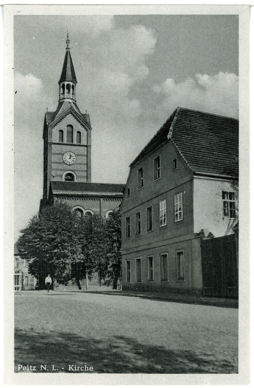


Why visit Peitz
Townapedia lists 8 museums and landmarks, 2 parks and trails, 15 places to eat, 6 places to stay and 1 attraction in and around town.
Highlights include Eisenhütten- und Fischereimuseum and Festungsturm.
Weather in Peitz
Forecast from MET Norway (CC BY 4.0). Full forecast
About Peitz
Peitz (German: [paɪts] ; Lower Sorbian: Picnjo) is a town in the district of Spree-Neiße, in Lower Lusatia, Brandenburg, in eastern Germany.
From the Wikipedia article Peitz (this version), under CC BY-SA 4.0.
Photos of Peitz


Things to do1

Museums and landmarks8

Eisenhütten- und Fischereimuseum
Museum · 1.4 km
1 Hüttenwerk, Peitz
Apr-Oct 10:00-17:00; Apr-Oct Fr off; Nov-Mar Mo-Th 10:00-16:00;...

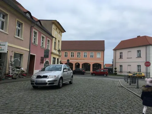

Wasserturm
Monument and historic site · 3.1 km
Wasserturm Bahnhof Peitz-Ost an der Alten Bahnhofsstraße in Peitz


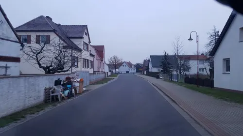

Parks, trails and playgrounds2


Restaurants and cafes15
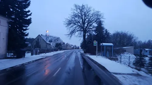

Kastanienhof
Restaurant · 2.5 km
Mo,Th,Fr 12:00-24:00+; Tu 15:00-24:00+; We off; Sa 11:30-24:00+;...
Chu Hai Bistro
Fast food · Asian
18 Hauptstraße, Peitz
Mo-Sa 10:00-20:00; Su,PH off



3 more on the map.
History
From 1661 to 1678, Peitz was the place of imprisonment of Hieronymus Roth, leader of the opposition of the city of Königsberg against Frederick William, Elector of Brandenburg, and opponent of the secession of the city from the Kingdom of Poland.
From 1815 to 1947, Peitz was part of the Prussian Province of Brandenburg.
After World War II, Peitz was incorporated into the State of Brandenburg from 1947 to 1952 and the Bezirk Cottbus of East Germany from 1952 to 1990. Since 1990, Peitz has been part of Brandenburg.
From the History section of Peitz on Wikipedia, under CC BY-SA 4.0.
Notable people from Peitz
- Jana ThielGerman television presenter and journalist (1971-2016)
- Jörg SchwankeGerman footballer
- Lily KannGerman actress (1893–1978)
Born in Peitz, according to Wikidata (CC0). Each name links to its Wikipedia article.
Where to stay6
Churches and places of worship3
Landeskirchliche Gemeinschaft (LKG) Drehnow
Church · Protestant · 3.3 km
10 Am Gemeinschaftshaus, Drehnow
Shopping6
Gas and EV charging2
Schools, colleges and libraries3
Healthcare1
Map of Peitz
47 places. The map loads OpenStreetMap tiles when you open it.
Getting there and nearby towns
Berlin Brandenburg Airport "Willy Brandt" (BER) is the nearest airport with scheduled flights listed in OpenStreetMap, 84 km away.
- Cottbus 13 km southwest, about 13 min by car
- Kolkwitz 16 km southwest, about 16 min by car
- Guben 23 km northeast, about 23 min by car
- Lubnjow 32 km west, about 32 min by car
- Eisenhüttenstadt 36 km northeast, about 36 min by car
- Lubin 37 km west, about 37 min by car
- Großräschen 41 km southwest, about 41 min by car
- Weißwasser 42 km south, about 42 min by car
- Senftenberg 47 km southwest, about 47 min by car
- Hoyerswerda 48 km south, about 48 min by car
Drive times are estimates from straight-line distance, not routes.
Towns near Peitz


Keep exploring
Local news
Headlines from INDB.
Reviews, tips and questions
Loading what members have shared...
Sources and licences
- GeoNames (CC BY 4.0): population, coordinates, regions and time zone
- Mapillary (see each image): photos
- OpenStreetMap contributors (ODbL 1.0): places, airports, map data
- Wikidata (CC0 1.0): elevation, founding date, time zone, website
- Wikimedia Commons (see each image): photos
- Wikipedia (CC BY-SA 4.0): overview and history text
Photo credits
- Peitz - Rathaus und Kirche 0001, Stefan Fussan, CC BY-SA 3.0
- Burg Peitz 2013, Clemensfranz, CC BY-SA 4.0
- 28302-Peitz NL.-1952-Kirche-Brück & Sohn Kunstverlag, Brück & Sohn Kunstverlag Meißen, CC BY-SA 3.0
- 28303-Peitz NL.-1952-Bastei-Brück & Sohn Kunstverlag, Brück & Sohn Kunstverlag Meißen, CC BY-SA 3.0
- 29567-Peitz-1958-Rathaus-Brück & Sohn Kunstverlag, Brück & Sohn Kunstverlag Meißen, CC BY-SA 3.0
- 28470-Peitz NL.-1952-Rathaus-Brück & Sohn Kunstverlag, Brück & Sohn Kunstverlag Meißen, CC BY-SA 3.0
- 28304-Peitz NL.-1952-Festungsturm-Brück & Sohn Kunstverlag, Brück & Sohn Kunstverlag Meißen, CC BY-SA 3.0
- Peitz 08-13 img3 Restaurant, A.Savin, CC BY-SA 3.0
- PeitzMauerstr8, Global Fish, CC BY-SA 4.0
- Peitz - Rathaus 0001, Stefan Fussan, CC BY-SA 3.0
- PeitzHaupstr15, Global Fish, CC BY-SA 4.0
- PeitzHauptstr16, Global Fish, CC BY-SA 4.0
- Peitz, Rathaus und Stadtkirche, Dguendel, CC BY 4.0
- Markt 4 Peitz, Clemensfranz, CC BY-SA 3.0
- Peitz, die Hauptstraße, Dguendel, CC BY 4.0
- Markt 4 Peitz Sitznischenportal, Clemensfranz, CC BY-SA 3.0
- Markt Peitz Pumpe, Clemensfranz, CC BY-SA 3.0
- 2018-05-20 Malzhausbastei, Peitz, 01, Stefan Kühn, CC0
- 2018-05-20 Malzhausbastei, Peitz, 06, Stefan Kühn, CC0
- 2018-05-20 Malzhausbastei, Peitz, 05, Stefan Kühn, CC0
- PeitzGubenerStr2, Global Fish, CC BY-SA 4.0
- PeitzAugustBebelMolkerei, Global Fish, CC BY-SA 4.0
- PeitzMarkt4, Global Fish, CC BY-SA 4.0
- 2018-05-20 Malzhausbastei, Peitz, 04, Stefan Kühn, CC0
- 2018-05-20 Malzhausbastei, Peitz, 02, Stefan Kühn, CC0
- Peitz 08-13 img2 Haus, A.Savin, CC BY-SA 3.0
- PeitzLutherstr1, Global Fish, CC BY-SA 4.0
- Mauerstraße 1 Peitz Feuerwehr, Clemensfranz, CC BY-SA 3.0
- Peitz Stadtpfarrkirche alt, PaulT (Gunther Tschuch), CC BY-SA 4.0
- Markt 22 Peitz Amtshaus, Clemensfranz, CC BY-SA 3.0
- Peitz Festungsturm alt2, PaulT (Gunther Tschuch), CC BY-SA 4.0
- Stadtpfarrkirche Peitz, Clemensfranz, CC BY-SA 3.0
- Peitz Festungsturm alt, PaulT (Gunther Tschuch), CC BY-SA 4.0
- Peitz, der Festungsturm, Dguendel, CC BY 4.0
- Peitz, Blick zur Stadtkirche, Dguendel, CC BY 4.0
- Festungsturm Peitz-Außentreppe, Muck, CC BY-SA 4.0
- Peitz Gefängnis, Clemensfranz, CC BY-SA 3.0
- Peitz Villa Rehn alt, PaulT (Gunther Tschuch), CC BY-SA 4.0
- Peitz - Stadtpfarrkirche, Kvikk, CC BY-SA 4.0
- Peitz - Hüttenwerk 0004, Stefan Fussan, CC BY-SA 3.0
- 2018-05-20 Malzhausbastei, Peitz, 03, Stefan Kühn, CC0
- Peitz-Ost Wasserturm Bhf-01, Radler59, CC BY-SA 4.0
- Peitz Gutshaus Luisenruh, Clemensfranz, CC BY-SA 3.0
- Pavillon Maustmühle Teichland, Clemensfranz, CC BY-SA 3.0
- Street-level photo, dsmm, CC BY-SA 4.0
- Street-level photo, moenk, CC BY-SA 4.0
- Street-level photo, carlheinz, CC BY-SA 4.0
- Street-level photo, carlheinz, CC BY-SA 4.0
- Street-level photo, dsmm, CC BY-SA 4.0
- Street-level photo, moenk, CC BY-SA 4.0
- Street-level photo, cavdng, CC BY-SA 4.0
- Street-level photo, moenk, CC BY-SA 4.0
- Street-level photo, carlheinz, CC BY-SA 4.0
- Street-level photo, dsmm, CC BY-SA 4.0
- Street-level photo, dsmm, CC BY-SA 4.0
- Street-level photo, dsmm, CC BY-SA 4.0
- Street-level photo, dsmm, CC BY-SA 4.0
- Street-level photo, cavdng, CC BY-SA 4.0
- Street-level photo, cavdng, CC BY-SA 4.0
- Street-level photo, moenk, CC BY-SA 4.0
- Street-level photo, moenk, CC BY-SA 4.0
- Street-level photo, dsmm, CC BY-SA 4.0


Page built November 9, 2026. Spotted a mistake? Tell us or suggest a place.