


Sonsbeck, Germany
Sonsbeck is a town of 5,430 people in North Rhine-Westphalia, Germany.
Why visit Sonsbeck
Townapedia lists 56 museums and landmarks, 21 parks and trails, 34 places to eat, 9 places to stay and 20 attractions in and around town.
Highlights include Gamerschlagshof, Grenzdycker Milchtankstelle Schrammenbruchshof, Traktorenmuseum Pauenhof and Archaeological Park of Xanten.
Weather in Sonsbeck
Forecast from MET Norway (CC BY 4.0). Full forecast
About Sonsbeck
Sonsbeck (German pronunciation: [ˈzɔnsbɛk]) is a municipality in the district of Wesel, in North Rhine-Westphalia, Germany. It is situated approximately 20 km west of Wesel, and 25 km south-east of Cleves as well as 8 km from the historic city of Xanten.
From the Wikipedia article Sonsbeck (this version), under CC BY-SA 4.0.
Things to do20

Gamerschlagshof
Farm and orchard · 4.6 km
Honig, Holundersirup aus ungespritzten Pflanzen, Schweinekoteletts von Bunten Bentheimern, Steaks vom Scottish Highland Rind u.v.m.
3 Grenzdyck, Xanten
"nach Vereinbarung"
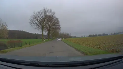
Grenzdycker Milchtankstelle Schrammenbruchshof
Farm and orchard · 5.2 km
Frische Rohmilch aus unserer Milchtankstelle
4 Grenzdyck, Xanten
24/7
Hoffleischerei Hawix
Farm and orchard · 1.2 km
Der Grillfleischautomat ist gefüllt mit 10 verschiedenen Produkten und alles, was zum Grillen dazugehört.
14 Plooweg, Sonsbeck
24/7
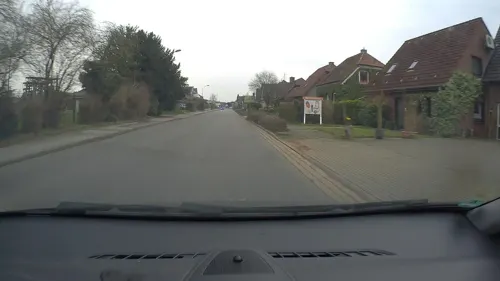
Korbmacherin Schiffer
Farm and orchard · 0.7 km
Herstellung traditioneller und moderner Gebrauchskörbe aus Weiden, Anfertigung von Körben nach Maß, Reparaturservice verschiedener...
13 Kevelaerer Straße, Sonsbeck
"nach Vereinbarung"
Biohof Etzold
Farm and orchard · 5.8 km
10 Hestert, Kevelaer
Tu,Th 14:00-19:00; Fr 09:00-19:00; Sa 09:00-14:00
Kevelaerer Landmomente
Farm and orchard · 5.2 km
6 Binnenheide, Kevelaer
Mo. - Sa.: 08:00 - 20:00 Uhr, So.: 10:00 - 18:00 Uhr, Winter...
Naturhof Berendsen GmbH
Farm and orchard · 6.2 km
12 Altwettener-Weg, Kevelaer
Th,Fr 15:30-18:30; Sa 10:00-14:00
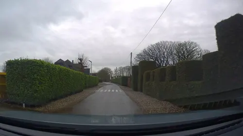
Spargelhof Schippers
Farm and orchard · 6.2 km
14 Tackenstraße, Alpen
Mo-Fr 09:00-18:00; Sa 09:00-14:00
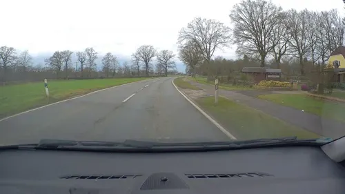
Ottenhof
Farm and orchard · 1.8 km
Gemüse, Kartoffeln, Regionale Produkte, Saisongemüse, Spargel, Spargelbauer, Spargelhof, Spargelstrasse NRW
66 Balberger Straße, Sonsbeck
Mo-Su 09:00-19:00


8 more on the map.
Museums and landmarks56


Archaeological Park of Xanten
Monument and historic site · 8.3 km
Archaeological ancient Roman site in Xanten, Germany, with reconstructed buildings


Colonia Ulpia Traiana
Monument and historic site · 8.2 km
Ancient Roman city

Lower German Limes
Monument and historic site · 8.0 km
UNESCO World Heritage Site in Germany, Netherlands

Singendonksche Windmühle
Monument and historic site · 3.9 km
Galerieholländer, über Backsteinunterbau ein Gefüge aus Ständern, die mit Andreaskreuzen verstrebt sind. Die Außenhaut besteht aus auf...

Haus Wankum
Monument and historic site · 4.5 km
1405 urkundlich erwähnter Rittersitz; eingeschossiges Backsteinhaus mit Walmdach; zweiflügeliges Wirtschaftsgebäude; ehem. Wassergraben...
24 Am Mühlenwasser
Windmühle
Monument and historic site · 4.8 km
Trotz der späteren Nutzungsänderung (Wohnung) sowie der fehlenden technischen Ausstattung (Flügel, Krühsterz, Mahlwerk) ist der...
20 Am Mühlenberg
Alter Bentheimshof
Monument and historic site · 4.7 km
Ehemaliges T-Gehöft; Wohnhaus eingeschossig mit Krüppelwalmdach; Traufseite mit Putzquadergliederung vierachsig, die Giebelseiten weisen...
Büchelhof
Monument and historic site · 5.2 km
Große Backsteinhofanlage, das Wohnhaus der T-Anlage ist zweigeschossig mit Walmdach, traufständige Eingangsseite in sechs Achsen,...
Festes Haus Loewshof
Monument and historic site · 6.4 km
Podest 29x27m; Reste einer Grabenanlage, Vorgängerbau des Loewshofes
Forsthaus Hasenacker
Monument and historic site · 3.7 km
Zweigeschossige Backsteingebäude, seit 1876 Dienstsitz der Försterei Tüschenwald
44 more on the map.
Parks, trails and playgrounds21




9 more on the map.
Restaurants and cafes34

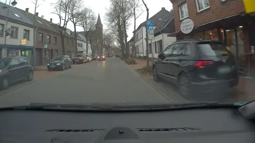
Lieblingsplatz by Egons Eiscafé
Cafe · Ice Cream, Breakfast
48 Hochstraße, Sonsbeck
Mo 11:00-21:30; Tu-Th 09:00-21:30; Fr-Sa 09:00-22:00; Su 09:00-21:30



Eiscafe Bistro Capri
Cafe · Ice Cream · 6.4 km
2 Marktstraße, Kevelaer
Mo closed; Tu-Su 12:00-19:00


Ristorante Pizzeria Toscana
Restaurant · Italian · 6.4 km
40 Sonsbecker Straße, Xanten
Mo,Th-Su 17:00-22:00
22 more on the map.
Where to stay9
Churches and places of worship17
Shopping6
Gas and EV charging4
Schools, colleges and libraries8
Katholische Grundschule Overberg / St.Norbert - Standort Winnekendonk
School · Catholic · 6.2 km
17 Sonsbecker Straße, Kevelaer
Healthcare4
Map of Sonsbeck
179 places. The map loads OpenStreetMap tiles when you open it.
Getting there and nearby towns
Airport Weeze (NRN) is the nearest airport with scheduled flights listed in OpenStreetMap, 16 km away.
- Kapellen 4 km south, about 4 min by car
- Xanten 8 km northeast, about 8 min by car
- Kevelaer 10 km west, about 10 min by car
- Alpen 10 km east, about 10 min by car
- Uedem 10 km northwest, about 10 min by car
- Geldern 11 km south, about 11 min by car
- Weeze 13 km west, about 13 min by car
- Kamp-Lintfort 16 km southeast, about 16 min by car
- Rheinberg 16 km southeast, about 16 min by car
- Kalkar 16 km northwest, about 16 min by car
Drive times are estimates from straight-line distance, not routes.
Local news
Headlines from INDB.
Reviews, tips and questions
Loading what members have shared...
Sources and licences
- GeoNames (CC BY 4.0): population, coordinates, regions and time zone
- Mapillary (see each image): photos
- OpenStreetMap contributors (ODbL 1.0): places, airports, map data
- Wikidata (CC0 1.0): elevation, founding date, time zone, website, landmarks and historic places
- Wikimedia Commons (see each image): photos
- Wikipedia (CC BY-SA 4.0): overview and history text
Photo credits
- Sonsbeck, Benutzer:Semiliki, CC BY-SA 3.0
- Colonia Ulpia Traiana - Aerial views -0102, Raimond Spekking, CC BY-SA 4.0
- Stadium (3) (archaeological park Xanten, Germany, 2005-04-23), Magnus Manske, CC BY-SA 3.0
- Harbor temple (1) (archaeological park Xanten, Germany, 2005-04-23), Magnus Manske, CC BY-SA 3.0
- Limes1, Ziegelbrenner, CC BY-SA 3.0
- Xanten Germany Xanten-Cathedral-01a, CEphoto, Uwe Aranas, CC BY-SA 3.0
- Sonsbeck, Grenzdyck, 2014-05 CN-01, kaʁstn Dis / Cat, CC BY-SA 3.0 de
- Kevelaer-Winnekendonk NSG Fleuthbenden PM18-02, Pieter Delicaat, CC BY-SA 4.0
- Bönninghardt, die katholische Pfarrkirche Sankt Vincenz Dm15 foto3 2016-05-05 14.25, Michielverbeek, CC BY-SA 4.0
- Kapellen Kirche, HenkvD, CC BY-SA 4.0
- Sonsberg - Aussichtsturm Dursberg, Krefeldphoto, CC0
- Kevelaer-Achterhoek Singendonksche Mühle 1797, Willemjans, CC BY-SA 4.0
- Kevelaer-Winnekendonk NSG Fleuthbenden PM18-13, Pieter Delicaat, CC BY-SA 4.0
- Zur Heiligen Familie, Uedemerbruch - 0851, Elke Wetzig, CC BY-SA 4.0
- St. Maria-Magdalena Kirche Sonsbeck, Eimann at de.wikipedia, CC BY-SA 2.0 de
- Street-level photo, poxonline, CC BY-SA 4.0
- Street-level photo, poxonline, CC BY-SA 4.0
- Street-level photo, poxonline, CC BY-SA 4.0
- Street-level photo, poxonline, CC BY-SA 4.0
- Street-level photo, poxonline, CC BY-SA 4.0
- Street-level photo, poxonline, CC BY-SA 4.0
- Street-level photo, poxonline, CC BY-SA 4.0
- Street-level photo, poxonline, CC BY-SA 4.0
- Street-level photo, poxonline, CC BY-SA 4.0
- Street-level photo, poxonline, CC BY-SA 4.0
- Street-level photo, poxonline, CC BY-SA 4.0


Page built November 9, 2026. Spotted a mistake? Tell us or suggest a place.