


Why visit Ensdorf
Townapedia lists 67 museums and landmarks, 11 parks and trails, 178 places to eat, 7 places to stay and 9 attractions in and around town.
Highlights include Theater am Ring, Lonsi's Hofladen, Alter Friedhof and Saar Polygon.
Weather in Ensdorf
Forecast from MET Norway (CC BY 4.0). Full forecast
About Ensdorf
Ensdorf (German pronunciation: [ˈɛnsdɔʁf]) is a municipality in the district of Saarlouis, in Saarland, Germany. It is on the right bank of the river Saar, opposite Saarlouis, approximately 20 km (12 mi) northwest of Saarbrücken.
From the Wikipedia article Ensdorf, Saarland (this version), under CC BY-SA 4.0.
Photos of Ensdorf


Things to do9


Lonsi's Hofladen
Farm and orchard · 1.9 km
Tu,Fr 08:30-13:00,14:00-18:00; Sa 08:30-14:00; Su,Mo,We,Th,Su,PH off


Museums and landmarks67


Saar Polygon
Monument and historic site · 2.0 km
Monument in Ensdorf, Saarland, Germany


Alte Kommandantur
Monument and historic site · 3.0 km
22 Großer Markt, Saarlouis
Ehem. Museum Haus Ludwig
Museum · 2.9 km
2 Kaiser-Wilhelm-Straße, Saarlouis

Städtisches Museum und Ludwig Galerie
Museum · 2.9 km
1 Alte-Brauerei-Straße, Saarlouis
Tu-Fr 10:00-10:00, 13:00-17:00; Sa-Su 13:00-17:00
Schmiede- und Schlossermuseum Schwalbach
Museum · 1.2 km
Museum in Germany

Berginspektionsgebäude
Monument and historic site
191 Provinzialstraße, Ensdorf/Saar
ehem. Forsthaus
Monument and historic site · 2.9 km
Forsthaus der Abtei Wadgassen, 1930 umbau
69 Saarbrücker Straße, Bous
RAG-Repräsentanz
Monument and historic site · 2.2 km
Ehem. Maschinenhalle des Bergwerk Ensdorf
1 Provinzialstraße, Ensdorf/Saar
55 more on the map.
Parks, trails and playgrounds11

Naturschutzgebiet Groswies „Saaraue nordwestlich Wadgassen“
Hiking and trails · 3.1 km





Restaurants and cafes178
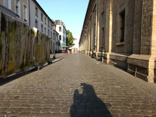
Hans im Glück
Restaurant · Burger · 2.9 km
16 Alte-Brauerei-Straße, Saarlouis
Su-Th 12:00-22:00; Fr,Sa 12:00-23:00
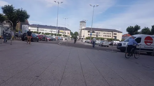
Bäckerei Welling
Bakery · 2.8 km
7 Französische Straße, Saarlouis
Mo-Fr 06:30-18:00; Sa 07:00-18:00; PH,Su 08:30-18:00
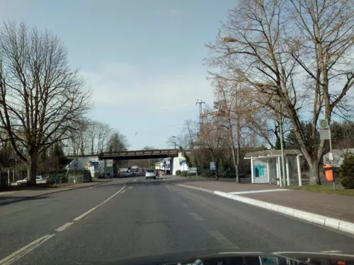
Gudd Gess
Restaurant · German · 1.1 km
4 Saarlouiser Straße, Ensdorf/Saar
Mo off; Tu 11:30-15:00,17:30-22:00; We 11:30-15:00; Th...
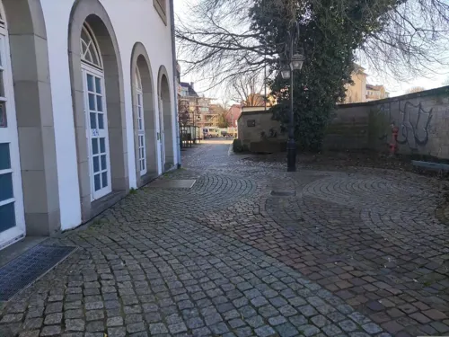
Wasgau Bäckerei
Bakery · 2.5 km
91E Saarbrücker Straße, Saarlouis
Mo-Sa 07:00-20:00; Su 08:00-11:00; PH off
Porto Cervo
Restaurant · Italian · 2.7 km
1 Lothringer Straße, Saarlouis
We-Mo,PH 11:30-14:30, We-Mo,PH 18:00-22:00

Choa 37
Restaurant · Sushi · 3.0 km
5 Schlächterstraße, Saarlouis
Mo-Fr 11:00-22:00; Sa,Su,PH 12:00-22:00

166 more on the map.
Notable people from Ensdorf
 Peter AltmaierGerman politicianPhoto: Raimond Spekking, CC BY-SA 4.0
- Herbert MartinGerman footballer (1925-2016)
- Marius KöhlGerman association football player
Born in Ensdorf, according to Wikidata (CC0). Each name links to its Wikipedia article.
Where to stay7
Smart & Stay Aparthotel
Motel and hotel · 2.1 km
242b Provinzialstraße, Saarlouis
Churches and places of worship13
Shopping40
Autoschilder Kroschke
Hardware store · 2.9 km
32 Kaiser-Friedrich-Ring, Saarlouis
Gas and EV charging11
Schools, colleges and libraries19
Healthcare15
Map of Ensdorf
250 places. The map loads OpenStreetMap tiles when you open it.
Getting there and nearby towns
Saarbrücken Airport (SCN) is the nearest airport with scheduled flights listed in OpenStreetMap, 25 km away.
- Schwalbach 2 km east, about 2 min by car
- Saarlouis 3 km northwest, about 3 min by car
- Wadgassen 4 km south, about 4 min by car
- Wallerfangen 6 km northwest, about 6 min by car
- Saarwellingen 6 km north, about 6 min by car
- Dillingen 7 km northwest, about 7 min by car
- Völklingen 8 km southeast, about 8 min by car
- Püttlingen 8 km east, about 8 min by car
- Überherrn 9 km southwest, about 9 min by car
- Nalbach 9 km north, about 9 min by car
Drive times are estimates from straight-line distance, not routes.
Towns near Ensdorf


Keep exploring
Local news
Headlines from INDB.
Reviews, tips and questions
Loading what members have shared...
Sources and licences
- GeoNames (CC BY 4.0): population, coordinates, regions and time zone
- Mapillary (see each image): photos
- OpenStreetMap contributors (ODbL 1.0): places, airports, map data
- Wikidata (CC0 1.0): elevation, founding date, time zone, website, landmarks and historic places
- Wikimedia Commons (see each image): photos
- Wikipedia (CC BY-SA 4.0): overview and history text
Photo credits
- EnsdorfBergenhaldePanorama, Lokilech, CC BY-SA 3.0
- 20180609 Bahnhof Ensdorf Saar 02, Flocci Nivis, CC BY 4.0
- 20190608 Bahnhof Ensdorf (Saar), Flocci Nivis, CC BY 4.0
- 20180609 Bahnhof Ensdorf Saar 01, Flocci Nivis, CC BY 4.0
- Medienzelle in Ensdorf, Gripweed, CC BY-SA 4.0
- Medienzelle Ensdorf Saar, A. Josef Dernbecher, CC BY-SA 4.0
- Ensdorf Wohnhaus Provinzialstraße 103, A. Josef Dernbecher, CC BY-SA 4.0
- Bergbau zug, Provinzialstraße, Ensdorf, Bild 2, Alfvanbeem, CC0
- Bergbau zug, Provinzialstraße, Ensdorf, Bild 1, Alfvanbeem, CC0
- Stollen-Ensdorf, A. Josef Dernbecher, CC BY-SA 4.0
- Bunker Umspannwerk Ensdorf, LoKiLeCh, CC BY-SA 4.0
- Saarpolygon 2024, Jörg Braukmann, CC BY-SA 4.0
- Saarlouis Haus Ludwig, -- Xocolatl ( talk ) 14:14, 11 April 2010 (UTC), Public domain
- Saarlouis Alter Friedhof (8), LoKiLeCh, CC BY-SA 3.0
- Saarlouis, the church of the Peter brotherhood society, Dguendel, CC BY 3.0
- Saarlouis Kommandantur 1, -- Xocolatl ( talk ) 18:58, 14 November 2009 (UTC), Public domain
- Saarlouis Evangelische Kirche Innen 01, atreyu, CC BY-SA 3.0
- SLS RobertSchumanGymnasium, Phrontis, CC BY-SA 3.0
- D-SLS-Saarlouis4, Szeder László, CC BY-SA 4.0
- Lisdorf Crispinus und Crispinianus (5), LoKiLeCh, CC BY-SA 3.0
- Saarlouis Gatterstraße Jüdischer Friedhof, LoKiLeCh, CC BY-SA 3.0
- Bous St. Peter 01, atreyu, CC BY-SA 3.0
- EnsdorfKirche, Lokilech, CC BY-SA 3.0
- Fraulautern Kirche pano, Lokilech, CC BY-SA 3.0
- Schwalbach St. Martin 02, atreyu, CC BY-SA 3.0
- 20210711 Bahnhof Bous 02, Flocci Nivis, CC BY 4.0
- SaarlouisTheateramRingDSCF7436, Oktobersonne, CC BY-SA 4.0
- 20210821 NSG Saaraue nordwestlich Wadgassen 02, Flocci Nivis, CC BY 4.0
- Bous Evangelische Kirche 01, atreyu, CC BY-SA 3.0
- SanktLudwigSaarlouis, Fjrei F.J. Reichert, CC BY-SA 3.0
- Saarlouis KaserneVI, Phrontis, CC BY-SA 3.0
- Saarlouis Alter Friedhof Engel, LoKiLeCh, CC BY-SA 3.0
- Bous St. Peter Innen 01, atreyu, CC BY-SA 3.0
- Schwalbach St. Martin 01, atreyu, CC BY-SA 3.0
- Ensdorf Hasenberg 5, LoKiLeCh, CC BY-SA 3.0
- Berginspektionsgebäude1900, A. Josef Dernbecher, CC BY-SA 3.0
- Berginspektionsgebäude1890, A. Josef Dernbecher, CC BY-SA 3.0
- First selfie1962, A. Josef Dernbecher, CC BY-SA 3.0
- Schäferhund-Hero20201118 2316, A. Josef Dernbecher, CC BY-SA 4.0
- SprengungKamin180m, A. Josef Dernbecher, CC BY-SA 4.0
- Street-level photo, teddy73, CC BY-SA 4.0
- Street-level photo, lokilech, CC BY-SA 4.0
- Street-level photo, teddy73, CC BY-SA 4.0
- Street-level photo, elton4711, CC BY-SA 4.0
- Street-level photo, elton4711, CC BY-SA 4.0
- Street-level photo, elton4711, CC BY-SA 4.0
- Street-level photo, changchun1, CC BY-SA 4.0
- Street-level photo, lokilech, CC BY-SA 4.0
- Street-level photo, miguel_andrade, CC BY-SA 4.0
- Street-level photo, teddy73, CC BY-SA 4.0
- Street-level photo, teddy73, CC BY-SA 4.0
- Street-level photo, teddy73, CC BY-SA 4.0
- Street-level photo, soulcover, CC BY-SA 4.0
- Street-level photo, miguel_andrade, CC BY-SA 4.0
- Street-level photo, lokilech, CC BY-SA 4.0
- Street-level photo, lokilech, CC BY-SA 4.0
- Street-level photo, lokilech, CC BY-SA 4.0
- Street-level photo, reisender, CC BY-SA 4.0
- Street-level photo, lokilech, CC BY-SA 4.0
- Street-level photo, Meddy94, CC BY-SA 4.0
- Street-level photo, teddy73, CC BY-SA 4.0
- Street-level photo, soulcover, CC BY-SA 4.0
- Street-level photo, miguel_andrade, CC BY-SA 4.0
- Street-level photo, lokilech, CC BY-SA 4.0
- Street-level photo, lokilech, CC BY-SA 4.0
- Street-level photo, lokilech, CC BY-SA 4.0
- Street-level photo, lokilech, CC BY-SA 4.0


Page built November 9, 2026. Spotted a mistake? Tell us or suggest a place.