


Why visit Stadelhofen
Townapedia lists 20 museums and landmarks, 3 parks and trails, 12 places to eat, 4 places to stay and 9 attractions in and around town.
Highlights include Burg Wiesentfels, Abschnittsbefestigung Bischofsgraben, Wacholderhänge bei Kleinziegenfeld and Wacholderhänge bei Wallersberg.
Weather in Stadelhofen
Forecast from MET Norway (CC BY 4.0). Full forecast
About Stadelhofen
Stadelhofen is a municipality in the Upper Franconian (German: Oberfranken) district of Bamberg and a member of the administrative community (Verwaltungsgemeinschaft) of Steinfeld.
From the Wikipedia article Stadelhofen (this version), under CC BY-SA 4.0.
Things to do9



Museums and landmarks20


Abschnittsbefestigung Bischofsgraben
Monument and historic site · 5.1 km

Bäckermarter
Monument and historic site · 3.6 km
Hochrechteckiger Sockel eines Bildstocks, drei Seiten mit Engelsköpfen, eine Seite eine Breze, auf der Oberseite ein Dübelloch; Hier...


8 more on the map.
Parks, trails and playgrounds3



Restaurants and cafes12
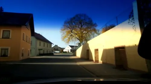
Brauerei Hübner
Restaurant · Regional · 4.1 km
69, Stadelhofen
We,Fr-Sa 15:00-22:00; Su,PH 13:30-18:00
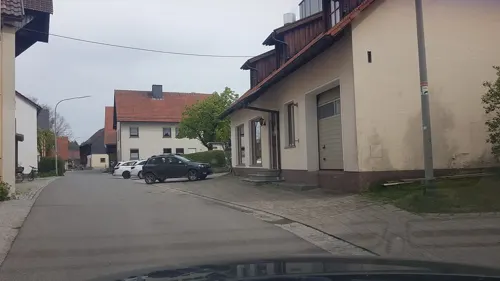
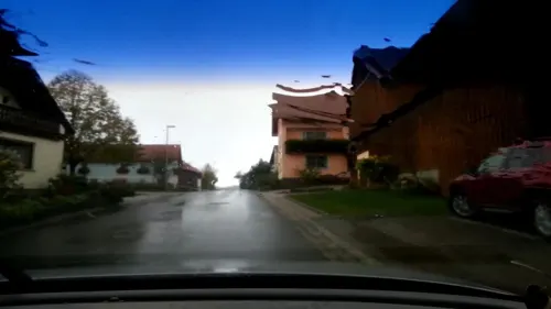
Frankenhöhe
Restaurant · Regional · 4.4 km
4, Weismain
Tu-Th,Su 11:00-22:00, Fr 17:00-22:00, Sa 11:00-24:00

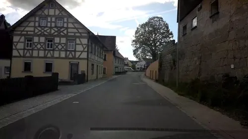


History
The community had its first documentary mention in 1248. The placename Stadelhofen is believed to mean “at the farms furnished with a barn”. However, it could also have come from a corrupted personal name.
Stadelhofen lies at the spot where an old army road from Bamberg to Kulmbach once crossed the way from Weismain to Hollfeld.
Even if Stadelhofen had its first documentary mention rather late, it is clear that the area was already settled by the year 630. On a map from 1595, the area around Stadelhofen bears the description Uf dem Gebürg.
In 1386, the Counts of Truhendingen sold the place at a price of 2,000 heller to the Bishop of Bamberg. Since the Reichsdeputationshauptschluss of 1803, before which the community had belonged to the High Monastery at Bamberg, Stadelhofen has belonged to Bavaria. In the course of administrative reform in Bavaria, today’s community came into being under the Gemeindeedikt (“Community Edict”) of 1818. Since 1978, the community has consisted of the formerly autonomous communities of Stadelhofen, Wölkendorf, Schederndorf and Steinfeld.
Besides Stadelhofen there was also once in the area a now lost parish called Leuchnitz, which lay somewhere between Weismain and Steinfeld.
From the History section of Stadelhofen on Wikipedia, under CC BY-SA 4.0.
Where to stay4
Churches and places of worship21
Map of Stadelhofen
69 places. The map loads OpenStreetMap tiles when you open it.
Getting there and nearby towns
Verkehrslandeplatz Burg Feuerstein (URD) is the nearest airport with scheduled flights listed in OpenStreetMap, 24 km away.
- Bad Staffelstein 18 km northwest, about 18 min by car
- Lichtenfels 19 km northwest, about 19 min by car
- Kulmbach 21 km northeast, about 21 min by car
- Bamberg 24 km southwest, about 24 min by car
- Hirschaid 25 km southwest, about 25 min by car
- Bayreuth 28 km east, about 28 min by car
- Kronach 28 km north, about 28 min by car
- Coburg 33 km northwest, about 33 min by car
- Forchheim 33 km south, about 33 min by car
- Rödental 34 km north, about 34 min by car
Drive times are estimates from straight-line distance, not routes.
Local news
Headlines from INDB.
Reviews, tips and questions
Loading what members have shared...
Sources and licences
- GeoNames (CC BY 4.0): population, coordinates, regions and time zone
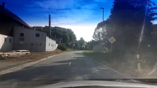
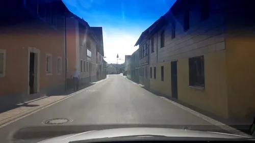
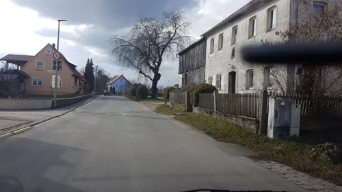
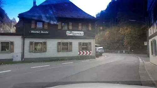
- Mapillary (see each image): photos
- OpenStreetMap contributors (ODbL 1.0): places, airports, map data
- Wikidata (CC0 1.0): elevation, founding date, time zone, website
- Wikimedia Commons (see each image): photos
- Wikipedia (CC BY-SA 4.0): overview and history text
Photo credits
- Stadelhofen Ortsmitte, Benreis, CC BY 3.0
- Stadelhofen Pfarrkirche-20210629-RM-160143, Ermell, CC BY-SA 4.0
- Stadelhofen Luftaufnahme-20210629-RM-160350, Ermell, CC BY-SA 4.0
- Stadelhofen Luftaufnahme-20210629-RM-160429, Ermell, CC BY-SA 4.0
- Stadelhofen Pfarrkirche-20210629-RM-160117, Ermell, CC BY-SA 4.0
- Stadelhofen Pfarrkirche Turmspitze-20210629-RM-160750, Ermell, CC BY-SA 4.0
- Stadelhofen Pfarrhaus 251988, Ermell, CC BY-SA 4.0
- Stadelhofen Kriegerdenkmal 251985, Ermell, CC BY-SA 4.0
- Stadelhofen St. Peter und Paul 251986, Ermell, CC BY-SA 4.0
- Stadelhofen St. Peter und Paul Altar 251951-HDR, Ermell, CC BY-SA 4.0
- Stadelhofen St. Peter und Paul Interior 251975, Ermell, CC BY-SA 4.0
- Stadelhofen St. Peter und Paul Pulpit 251979-HDR, Ermell, CC BY-SA 4.0
- Stadelhofen St. Peter und Paul Altar 251956-HDR, Ermell, CC BY-SA 4.0
- Stadelhofen St. Peter und Paul Orgel 251961-HDR, Ermell, CC BY-SA 4.0
- Stadelhofen St. Peter und Paul Innen 251966-HDR, Ermell, CC BY-SA 4.0
- Stadelhofen Kirche 160094-PS, Ermell, CC BY-SA 4.0
- Am Eingang zum Paradiestal bei Stadelhofen, Stephan van Helden, CC BY-SA 4.0
- Wiesentfels Schloss, Immanuel Giel, Public domain
- Ostertag Arnstein, Adam Friedrich Thomas Ostertag, Public domain
- Burghügel Burgstall Rauschenstein in Arnstein, Trollhead, CC BY 3.0
- Wall-Graben-Reste Heideknock VI, Trollhead, CC BY-SA 3.0
- Kapelle St. Katharina Wallersberg, D4188665, CC BY-SA 4.0
- Steinfeld Wallfahrtskirche zum Heiligen Kreuz-20230811-RM-164314, Ermell, CC BY-SA 4.0
- Steinfeld (Stadelhofen) Kirche Luftbild -20230811-RM-155148, Ermell, CC BY-SA 4.0
- Kirche St. Nikolaus in Arnstein, Trollhead, CC BY 3.0
- Weiden-St-Andreas, Störfix, CC BY-SA 3.0 de
- 2015 Kapelle St. Sebastian 01, Derzno, CC BY-SA 4.0
- Bojendorf Kirche, Trollhead, CC BY 3.0
- Paradiestal - Blaues Meer, Trollhead, CC BY-SA 4.0
- Wacholderhänge bei Kleinziegenfeld, Stephan van Helden, CC BY-SA 4.0
- Wallersberg-P5214608, ermell, CC BY-SA 4.0
- Kirche Steinfeld, Immanuel Giel, Public domain
- Schederndorf Kapelle, Trollhead, CC BY-SA 4.0
- Wallfahrtskapelle-Steinfeld-01, Immanuel Giel, CC BY-SA 3.0
- D-4-78-176-109 Kapelle Maria Hilf, Stephan van Helden, CC BY-SA 4.0
- Kirche Stadelhofen 01, Immanuel Giel, Public domain
- Sebastianskapelle-Treunitz-03, Immanuel Giel, CC BY-SA 3.0
- Wölkendorf Kapelle, Aufseßtaler, CC BY-SA 4.0
- FränkischeSchweiz-P1260965-PS, Ermell, CC BY-SA 4.0
- Abschnittsbefestigung Bischofsgraben Geländemodell, Bayerische Vermessungsverwaltung - www.geodaten.bayern.de, CC BY 4.0
- Blick vom Heideknock zum Viktoriafelsen und Umgebung 2, Stephan van Helden, CC BY-SA 4.0
- St. Nikolaus Arnstein - Viktoriafelsen, Trollhead, CC BY-SA 4.0
- Paradiestal - Gänsestube, Trollhead, CC BY-SA 4.0
- Street-level photo, r66, CC BY-SA 4.0
- Street-level photo, r66, CC BY-SA 4.0
- Street-level photo, r66, CC BY-SA 4.0
- Street-level photo, r66, CC BY-SA 4.0
- Street-level photo, r66, CC BY-SA 4.0
- Street-level photo, r66, CC BY-SA 4.0
- Street-level photo, r66, CC BY-SA 4.0
- Street-level photo, su1dakra, CC BY-SA 4.0
- Street-level photo, r66, CC BY-SA 4.0
- Street-level photo, r66, CC BY-SA 4.0
- Street-level photo, r66, CC BY-SA 4.0
- Street-level photo, r66, CC BY-SA 4.0
- Street-level photo, r66, CC BY-SA 4.0
- Street-level photo, r66, CC BY-SA 4.0
- Street-level photo, r66, CC BY-SA 4.0
- Street-level photo, r66, CC BY-SA 4.0
- Street-level photo, r66, CC BY-SA 4.0


Page built November 9, 2026. Spotted a mistake? Tell us or suggest a place.