


Why visit Strullendorf
Townapedia lists 22 museums and landmarks, 8 parks and trails, 76 places to eat, 16 places to stay and 9 attractions in and around town.
Highlights include E.T.A.-Hoffmann-Theater, Hoflädla, Schleusenwärterhaus 96 and Schloss Wernsdorf.
Weather in Strullendorf
Forecast from MET Norway (CC BY 4.0). Full forecast
About Strullendorf
Strullendorf is a municipality in the Upper Franconian district of Bamberg. It is an ideal place for hiking and cycling tours along with many breweries
From the Wikipedia article Strullendorf (this version), under CC BY-SA 4.0.
Things to do9

E.T.A.-Hoffmann-Theater
Cinema and theater · 7.7 km
Theatre in Bamberg, Germany

Hoflädla
Farm and orchard · 4.6 km
39 Pfarrer-Hopfenmüller-Straße, Hirschaid
06:00-20:00

Museums and landmarks22

Schleusenwärterhaus 96
Monument and historic site · 4.5 km
Schleusenwärterhaus, Ludwig-Donau-Main-Kanal

Schloss Wernsdorf
Monument and historic site · 3.2 km
4 Zur Schleifmühle, Strullendorf


Franzosenmarter
Monument and historic site · 3.6 km
Fundament; Säule mit gebrochenen Kanten; Aufsatz mit dreiseitigem Relief (Kreuzigungsgruppe, der hl. Petrus und der hl. Matthäus); auf...

Lieb Herrchäla
Monument and historic site · 3.2 km
Gebauchter Sockel mit Altartisch; barocker Bildstock; Bildnische mit Kreuzschlepper-Relief; Satteldach mit Ziegeleindeckung. Den...

Weiße Marter
Monument and historic site · 3.0 km
Rechteckiger Sockel und Schaft; vierseitiger Aufsatz; Der alter Standort war 300 Meter weiter in der Flur. Nach einer Beschädigung wurde...

Missionsmuseum Missionshaus Bug
Museum · 4.9 km
Su,PH 14:00-17:00; easter -2 days,Dec 24,Dec 31 off;...
Altes Märterla
Monument and historic site · 4.5 km
Holzmarter mit Bildnische; hinter einer Glasplatte das Bild der Muttergottes mit Kind; Kupferblechbedachung; Bis 2000 am Waldweg zw....
Denkmal Ludwig Jergius
Monument and historic site · 4.6 km
Zweistufiger Sockel; rechteckige Säule; Aufsatz mit Schriftfeld und Giebeldach; Letzte Ruhestätte Frankreich: Sailly-sur-la-Lys,...
Die Rot Marter
Monument and historic site · 4.7 km
Holzmarter mit drei Einkerbungen; am unteren Teil Messingschild mit Inschrift; im oberen Teil ein verziertes Holzkreuz; An dieser Stelle...
10 more on the map.
Parks, trails and playgrounds8



FrankenLagune Badespaß-das Erlebnisbad in Hirschaid
Sports field and stadium · 3.6 km
Mo-Fr 13:00-21:00; Sa 15:00-21:00; PH,Su 10:00-21:00


Restaurants and cafes76

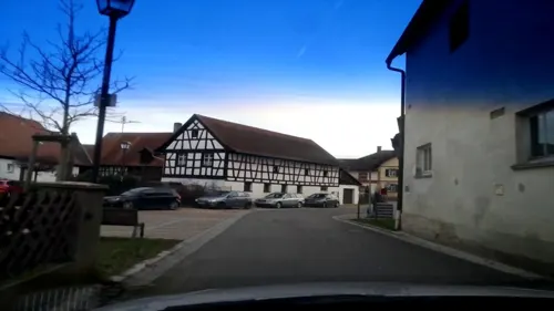
Brauerei-Gasthof Griess
Restaurant · Regional · 4.9 km
6 Magdalenenstraße, Strullendorf
Mo,Tu,Th,Fr 15:00-22:00, Sa,Su 10:00-22:00
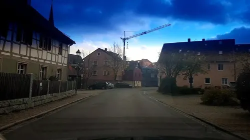
Hotel Landgasthof Büttel
Restaurant · Regional · 5.1 km
3 Litzendorfer Straße, Strullendorf
Tu 17:00-20:30, We-Su 11:30-20:30
Lily Asia Spezialitäten
Restaurant · Chinese · 3.6 km
13 Industriestraße, Hirschaid
PH,Mo-Su 11:00-15:00,17:00-22:00
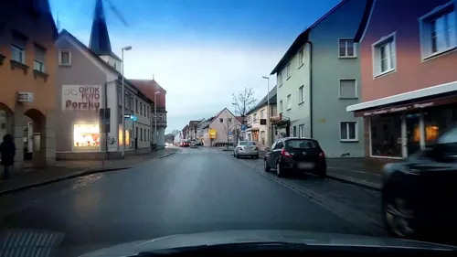
OLYMPIA BEI COSTA
Restaurant · Greek · 3.5 km
19 Nürnberger Straße, Hirschaid
Mo-Sa 17:00-22:00; Su 11:30-13:30,17:00-22:00; We off
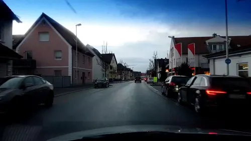
Pizzeria Capriccio Mondello
Restaurant · Italian · 3.8 km
62 Nürnberger Straße, Hirschaid
Mo-Su 17:00-23:30; Tu off
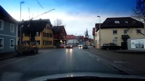
Schwarzer Bär
Restaurant · Regional · 3.6 km
31 Nürnberger Straße, Hirschaid
Tu,We,Fr-Su 11:00-14:00,16:30-21:30; Mo,Th off
Zur Dritten Halbzeit
Restaurant · International · 4.9 km
2 Am Sportplatz, Bamberg
Mo,Tu,Th,Fr,Sa 17:00-22:00; Su 11:00-22:00
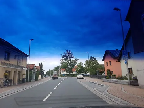


Backerie Café Göller
Cafe · Coffee Shop · 3.0 km
30 Bamberger Straße, Hirschaid
Tu-Fr 05:45-17:30; Sa 05:45-13:00; Su, PH, Mo off

Der Beck
Cafe · German, Coffee Shop, Pastry · 3.8 km
56 Nürnberger Straße, Hirschaid
Mo-Fr 05:30-18:00; Sa 05:30-16:00; Su,PH 07:00-17:00
Gasthaus Schiller
Restaurant · 2.8 km
14 Amlingstadter Straße, Strullendorf
Mo 16:30-22:00; Tu-Su 11:30-22:00
64 more on the map.
History
The Nuremberg patrician family Tockler owned the Tocklerhof in Strullendorf until the 16th century. This, and the Zeidelhuben, used for forest beekeeping and already named by 1348, were of great economic importance for the community. Strullendorf belonged to the High Monastery at Bamberg. Since the Reichsdeputationshauptschluss of 1803, the community has belonged to Bavaria. In the course of administrative reform in Bavaria, today's community came into being under the Gemeindeedikt ("Community Edict") of 1818.
From the History section of Strullendorf on Wikipedia, under CC BY-SA 4.0.
Where to stay16
Pfadfinderheim Christliche Pfadfinderschaft Bamberg e.V.
Motel and hotel · 4.8 km
Churches and places of worship16
Sankt Maria Magdalena
Church · Roman Catholic · 5.0 km
18 Magdalenenstraße, Strullendorf
St. Mauritius-Kirche
Church · Roman Catholic · 4.3 km
20 St.-Mauritius-Straße, Hirschaid
Mauritiuskapelle
Church · Roman Catholic · 4.3 km
16 St.-Mauritius-Straße, Hirschaid
Shopping15
Gas and EV charging14
Schools, colleges and libraries8
Healthcare4
Map of Strullendorf
188 places. The map loads OpenStreetMap tiles when you open it.
Getting there and nearby towns
Verkehrslandeplatz Burg Feuerstein (URD) is the nearest airport with scheduled flights listed in OpenStreetMap, 13 km away.
- Hirschaid 3 km southeast, about 3 min by car
- Pettstadt 4 km southwest, about 4 min by car
- Bamberg 8 km northwest, about 8 min by car
- Litzendorf 8 km north, about 8 min by car
- Frensdorf 8 km west, about 8 min by car
- Eggolsheim 10 km southeast, about 10 min by car
- Bischberg 12 km northwest, about 12 min by car
- Walsdorf 14 km west, about 14 min by car
- Pommersfelden 14 km southwest, about 14 min by car
- Forchheim 15 km southeast, about 15 min by car
Drive times are estimates from straight-line distance, not routes.
Local news
Headlines from INDB.
Reviews, tips and questions
Loading what members have shared...
Sources and licences
- GeoNames (CC BY 4.0): population, coordinates, regions and time zone
- Mapillary (see each image): photos
- OpenStreetMap contributors (ODbL 1.0): places, airports, map data
- Wikidata (CC0 1.0): elevation, founding date, time zone, website, landmarks and historic places
- Wikimedia Commons (see each image): photos
- Wikipedia (CC BY-SA 4.0): overview and history text
Photo credits
- Strullendorf Bahnstrecke Nürnberg–Bamberg-20230301-RM-152259, Ermell, CC BY-SA 4.0
- Strullendorf-Laurenzi-Kirche-PB090004, Ermell, CC BY-SA 4.0
- Strullendorf-PB090013, Ermell, CC BY-SA 4.0
- Strullendorf Kirche Luftbild-20230529-RM-154030, Ermell, CC BY-SA 4.0
- Strullendorf aerial view 20240413-RM-121026, Reinhold Möller Ermell, CC BY-SA 4.0
- Strullendorf-Rathaus-PB090003, Ermell, CC BY-SA 4.0
- Strullendorf Kirche Luftbild-20230529-RM-154015, Ermell, CC BY-SA 4.0
- Strullendorf Kirche Luftbild-20240413-RM-120836, Reinhold Möller, CC BY-SA 4.0
- Luftbild von Strullendorf 20240413-RM-120913, Reinhold Möller Ermell, CC BY-SA 4.0
- Strullendorf Kirche Luftbild-20230529-RM-153958, Ermell, CC BY-SA 4.0
- Strullendorf-Relief-PC110025, Ermell, CC BY-SA 4.0
- Strullendorf-Kirchentür-PB090010, Ermell, CC BY-SA 4.0
- Strullendorf-Gasthof-Schwalbe-PC110022, Ermell, CC BY-SA 4.0
- Strullendorf-Gedenktafel-Georgius-Rickert-PB090007, Ermell, CC BY-SA 4.0
- Strullendorf-church-door-PB090008, Ermell, CC BY-SA 4.0
- Strullendorf-ehem-Gasthof-PC110018-PS, Ermell, CC BY-SA 4.0
- Strullendorf-farm-house-PC110016, Ermell, CC BY-SA 4.0
- Strullendorf aerial view-20240413-RM-121101, Reinhold Möller Ermell, CC BY-SA 4.0
- Bahnübergang-Strullendorf-P5022786, ermell, CC BY-SA 4.0
- Eisenbahnstrecke-Strullendorf-Hirschhaid P5022788, ermell, CC BY-SA 4.0
- Eisenbahnstrecke-Strullendorf-Hirschhaid P5022787, ermell, CC BY-SA 4.0
- Strullendorf Bahnlinie Nürnberg-Bamberg-20160502-RM-104813, Ermell, CC BY-SA 4.0
- Eisenbahnstrecke-Strullendorf-Hirschhaid P5022789, ermell, CC BY-SA 4.0
- Strullendorf-5022820, ermell, CC BY-SA 4.0
- Strullendorf-5022819, ermell, CC BY-SA 4.0
- Strullendorf-Bahnübergang-5022791, ermell, CC BY-SA 4.0
- Strullendorf Obere Steigerwaldbahn-20230301-RM-152044, Ermell, CC BY-SA 4.0
- Strullendorf Bahnhof Baustelle -20240413-RM-115953, Reinhold Möller Ermell, CC BY-SA 4.0
- Strullendorf Bahnstrecke Nürnberg–Bamberg-20230301-RM-152024, Ermell, CC BY-SA 4.0
- Strullendorf Bahnhof Neubau Luftbild-20230529-RM-152547, Ermell, CC BY-SA 4.0
- Strullendorf ABS Nürnberg-Ebensfeld Luftbild-20240413-RM-120023, Reinhold Möller Ermell, CC BY-SA 4.0
- Bahnhof-Strullendorf-5022782, ermell, CC BY-SA 4.0
- Bamberg Theater Eingang, Photo: Andreas Praefcke, CC BY 3.0
- Kirche-Pettstadt-Altäre-Interieur-1000802, Ermell, CC BY-SA 4.0
- Strullendorf, Amlingstadt, St. Ägidius-008, Tilman2007, CC BY-SA 3.0
- Strullendorf, Geisfeld, Magdalenenstraße 18-002, Tilman2007, CC BY-SA 3.0
- Strullendorf, Wernsfeld, Amlingstadter Straße, Kapelle-001, Tilman2007, CC BY-SA 3.0
- Schloss Wernsdorf Strullendorf (02), Presse03, CC BY-SA 3.0
- Hirschaid Kirchplatz 01 Kath. Pfarrkirche St. Veit 002, Demidow, CC BY-SA 3.0
- Hirschaid Ludwig-Donau-Main-Kanal Schleuse 96 002, Janericloebe, CC BY 3.0
- Sassanfahrt Kirche Luftbild-20211002-RM-164753, Ermell, CC BY-SA 4.0
- Ludwig-Donau-Main-Kanal Bamberg Bughof 003, Janericloebe, CC BY 3.0
- Sandgrasheide Pettstadt 1, barbaraglessinger, CC BY-SA 3.0
- Pettstadt Bildstock P3280008, Ermell, CC BY-SA 4.0
- Pettstadt Bildstock 3280015, Ermell, CC BY-SA 4.0
- Naturwaldreservat Wolfsruhe, Ermell, CC BY-SA 3.0
- Kapelle in Bug, Luitbald, CC BY-SA 3.0
- Kath Kapelle St Maria Friesen D-4-71-145-24 (5), Harro, CC BY-SA 3.0
- Hirschaid alte Schule 20191003-RM-033982, Ermell, CC BY-SA 4.0
- Street-level photo, r66, CC BY-SA 4.0
- Street-level photo, r66, CC BY-SA 4.0
- Street-level photo, r66, CC BY-SA 4.0
- Street-level photo, r66, CC BY-SA 4.0
- Street-level photo, r66, CC BY-SA 4.0
- Street-level photo, r66, CC BY-SA 4.0
- Street-level photo, wegavision, CC BY-SA 4.0
- Street-level photo, r66, CC BY-SA 4.0
- Street-level photo, r66, CC BY-SA 4.0
- Street-level photo, wbr210, CC BY-SA 4.0
- Street-level photo, r66, CC BY-SA 4.0
- Street-level photo, r66, CC BY-SA 4.0
- Street-level photo, qgeb, CC BY-SA 4.0
- Street-level photo, r66, CC BY-SA 4.0
- Street-level photo, r66, CC BY-SA 4.0
- Street-level photo, bernd_niemann, CC BY-SA 4.0
- Street-level photo, r66, CC BY-SA 4.0
- Street-level photo, wegavision, CC BY-SA 4.0
- Street-level photo, mfa, CC BY-SA 4.0
- Street-level photo, r66, CC BY-SA 4.0
- Street-level photo, r66, CC BY-SA 4.0
- Street-level photo, r66, CC BY-SA 4.0


Page built November 9, 2026. Spotted a mistake? Tell us or suggest a place.