


Why visit Türnich
Townapedia lists 10 museums and landmarks, 18 parks and trails, 29 places to eat, 5 places to stay and 2 attractions in and around town.
Highlights include Spargelhof Wolf, Wilhelmshöhe, Burg Mödrath and Gymnicher Mühle.
Weather in Türnich
Forecast from MET Norway (CC BY 4.0). Full forecast
Things to do2

Spargelhof Wolf
Farm and orchard · 2.6 km
Verkauf von Spargel, Erdbeeren und Freilandrosen aus dem Vorgebirge (Bornheim).
11 Vorpforte, Erftstadt

Museums and landmarks10
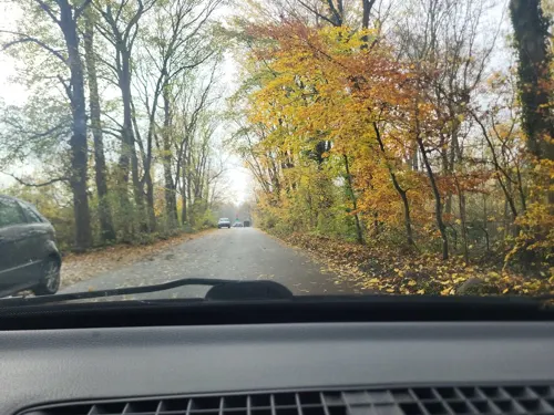

Gymnicher Mühle
Monument and historic site · Ice Cream · 1.7 km
8 Gymnicher Mühle, Erftstadt

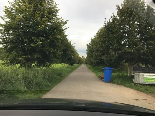
KM 51 - Erftmuseum
Museum · 1.7 km
Th,Fr 14:00-18:00; Sa,Su,PH 11:00-17:00; May-Sep Sa,Su,PH 11:00-17:00


Hinweis auf ehemalige Kirche St. Rochus
Monument and historic site
Hier stand die alte Kirche St. Rochus Balkhausen
Rolshausen Kreuz (Fussfall)
Monument and historic site · 1.3 km
Der Gang zu den Sieben Fußfällen ist eine der ältesten Formen des Kreuzwegs. Seinen Namen erhielt der Bittgang von der Gewohnheit, sich...
Parks, trails and playgrounds18

Ehemalige Kiesgrube bei Türnich
Hiking and trails · 1.4 km
Das Gebiet wird geschuetzt a) gemäß § 23 Absatz 1 Nr. 1 BNatschG zur Erhaltung, Entwicklung, Herstellung und Wieder- herstellung von...
Naturparkzentrum Gymnicher Mühle
Sports field and stadium · 1.7 km
1 Gymnicher Mühle, Erftstadt
Th,Fr 14:00-18:00; Sa,Su,PH 11:00-17:00; May-Sep Sa,Su,PH 11:00-17:00


Kerpener Bruch sowie die südlich angrenzenden Freiflächen und ehemaligen Abgrabungsbereiche
Hiking and trails · 2.9 km



6 more on the map.
Restaurants and cafes29

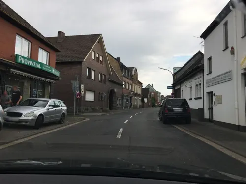
Schneider
Bakery · 2.5 km
40 Gymnicher Hauptstraße, Erftstadt
Mo-Fr 06:00-18:30; Sa 06:30-13:00; Su 07:30-16:00

Erft Werk
Restaurant · 3.0 km
78a Friedrich-Ebert-Straße, Erftstadt
Mo-Su 12:00-14:30,17:30-22:30
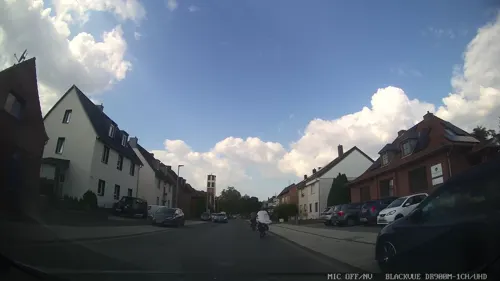
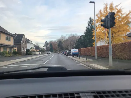
Multi-Kebab
Restaurant · Kebab · 0.6 km
102 Heerstraße, Kerpen
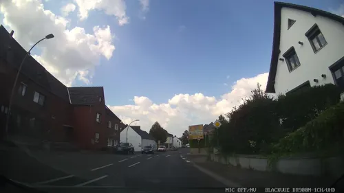
Pizzeria Da Domenico
Restaurant · 1.1 km
2 Eintrachtstraße, Kerpen


17 more on the map.
Where to stay5
Churches and places of worship13
Shopping8
Gas and EV charging8
Schools, colleges and libraries5
Theodor-Heuss-Schule Kerpen Katholische Grundschule
School · 4.0 km
41-49 Broichmühlenstraße, Kerpen
Healthcare4
Map of Türnich
102 places. The map loads OpenStreetMap tiles when you open it.
Getting there and nearby towns
Cologne Bonn Airport (CGN) is the nearest airport with scheduled flights listed in OpenStreetMap, 27 km away.
- Kerpen 4 km west, about 4 min by car
- Erftstadt 6 km southeast, about 6 min by car
- Frechen 7 km northeast, about 7 min by car
- Hürth 8 km east, about 8 min by car
- Nörvenich 10 km southwest, about 10 min by car
- Brühl 11 km east, about 11 min by car
- Bergheim 13 km northwest, about 13 min by car
- Weilerswist 13 km southeast, about 13 min by car
- Köln 16 km northeast, about 16 min by car
- Pulheim 16 km north, about 16 min by car
Drive times are estimates from straight-line distance, not routes.
Local news
Headlines from INDB.
Reviews, tips and questions
Loading what members have shared...
Sources and licences
- GeoNames (CC BY 4.0): population, coordinates, regions and time zone
- Mapillary (see each image): photos
- OpenStreetMap contributors (ODbL 1.0): places, airports, map data
- Wikidata (CC0 1.0): elevation, founding date, time zone, website
- Wikimedia Commons (see each image): photos
Photo credits
- Lindenallee von Schloss Türnich, Geomania21, CC BY-SA 4.0
- Kapelle von Schloss Türnich, Geomania21, CC BY-SA 4.0
- Schloss Türnich Herrenhaus und Kapelle, Geomania21, CC BY-SA 4.0
- Torhaus von Schloss Türnich, Geomania21, CC BY-SA 4.0
- Schloss Türnich mit Torhaus und Wassergraben, Geomania21, CC BY-SA 4.0
- Herrenhaus Schloss Türnich, Geomania21, CC BY-SA 4.0
- Schloss Türnich mit Kapelle, Geomania21, CC BY-SA 4.0
- Gymnich Annakapelle03, Achim Raschka, CC BY-SA 4.0
- Schloss Tuernich Herrenhaus 2016, Sir Gawain, CC BY-SA 4.0
- Gymnich St. Kunibert, Achim Raschka ( talk ), CC BY-SA 4.0
- Kierdorf Martinusplatz 11 Sankt Martinus, HOWI - Horsch, Willy, CC BY 3.0
- Dirmerzheim St. Remigius (4), Chris06, CC BY-SA 4.0
- Kerpen-Brueggen Lukaskirche 01, Achim Raschka, CC BY-SA 3.0
- 2024 Emmauskirche (Erftstadt-Gymnich) (1), Chris06, CC BY-SA 4.0
- St-rochus-balkhausen, A.Savin, CC BY-SA 3.0
- Fürstenbergmaar, Bernd Geßmann, CC BY-SA 3.0
- Nordrhein-Westfalen, NSG Kerpener Bruch, Auenlandschaft 2, Lennox100, CC BY-SA 3.0
- Muehle gymnich, Superbass, CC BY-SA 3.0
- Wilhelmshöhe-Hürth, Gelli63, CC BY-SA 4.0
- Schloss Gymnich, Tohma ( talk ), CC BY-SA 4.0
- Tuernich Schlosskapelle Sankt Georg 9683 201905, Matthias Nonnenmacher, CC BY-SA 4.0
- Schloss Tuernich, User:tohma, CC BY-SA 4.0
- Tuernich Erft am Obstgarten nw 9684 201905, Karlunun, CC BY-SA 4.0
- 16-01-17 Gymnich Drohne 03, Achim Raschka, CC BY-SA 4.0
- Gymnich, Schloss - panoramio, rucksackkruemel, CC BY 3.0
- Street-level photo, walldi222, CC BY-SA 4.0
- Street-level photo, walldi222, CC BY-SA 4.0
- Street-level photo, noel, CC BY-SA 4.0
- Street-level photo, walldi222, CC BY-SA 4.0
- Street-level photo, hirschkauz, CC BY-SA 4.0
- Street-level photo, walldi222, CC BY-SA 4.0
- Street-level photo, walldi222, CC BY-SA 4.0
- Street-level photo, raymond, CC BY-SA 4.0
- Street-level photo, hirschkauz, CC BY-SA 4.0
- Street-level photo, hirschkauz, CC BY-SA 4.0
- Street-level photo, noel, CC BY-SA 4.0
- Street-level photo, walldi222, CC BY-SA 4.0
- Street-level photo, chuck, CC BY-SA 4.0
- Street-level photo, walldi222, CC BY-SA 4.0
- Street-level photo, chuck, CC BY-SA 4.0
- Street-level photo, chuck, CC BY-SA 4.0
- Street-level photo, chuck, CC BY-SA 4.0
- Street-level photo, walldi222, CC BY-SA 4.0
- Street-level photo, walldi222, CC BY-SA 4.0
- Street-level photo, walldi222, CC BY-SA 4.0
- Street-level photo, chuck, CC BY-SA 4.0
- Street-level photo, walldi222, CC BY-SA 4.0
- Street-level photo, chuck, CC BY-SA 4.0
- Street-level photo, hirschkauz, CC BY-SA 4.0


Page built November 9, 2026. Spotted a mistake? Tell us or suggest a place.