


Why visit Kerpen
Townapedia lists 85 museums and landmarks, 55 parks and trails, 194 places to eat, 19 places to stay and 15 attractions in and around town.
Highlights include Wilhelmshöhe, Bauer Moll Hofladen, Burg Bergerhausen and Burg Konradsheim.
Weather in Kerpen
Forecast from MET Norway (CC BY 4.0). Full forecast
About Kerpen
Kerpen (German: [ˈkɛʁpn̩] ; Ripuarian: Kerpe) is the most populated town in the Rhein-Erft-Kreis (North Rhine-Westphalia, Germany). It is located about 20 kilometres southwest from Cologne. As of 2025, Kerpen has a total population of 66,377.
From the Wikipedia article Kerpen (this version), under CC BY-SA 4.0.
Photos of Kerpen


Things to do15


Bauer Moll Hofladen
Farm and orchard · 1.6 km
23 Talweg, Kerpen
Mo 09:00-18:00; We-Sa 09:00-18:00; Su 10:00-18:00

Berli
Cinema and theater · 8.3 km
Kann auch als Veranstaltungsort gemietet werden (amenity=event_location)
45-49 Wendelinusstraße, Hürth
Spargelhof Wolf
Farm and orchard · 4.4 km
Verkauf von Spargel, Erdbeeren und Freilandrosen aus dem Vorgebirge (Bornheim).
11 Vorpforte, Erftstadt
Haus am Bahndamm/Theater Harlekin
Cinema and theater · 8.1 km
113 Rosmarstraße, Frechen
3 more on the map.
Museums and landmarks85


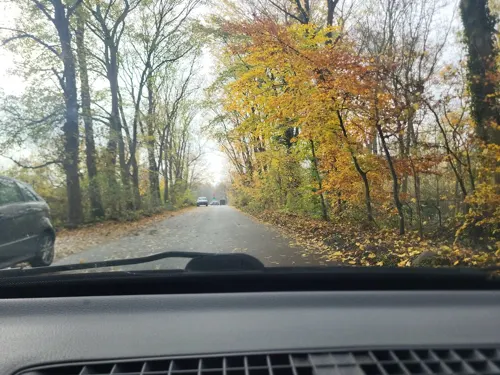

Gymnicher Mühle
Monument and historic site · Ice Cream · 3.0 km
8 Gymnicher Mühle, Erftstadt



Geburtshaus Adolph Kolping
Museum · 0.7 km
Museum seit 1963 Besichtigung auf Voranmeldung
21 Obermühle, Kerpen

73 more on the map.
Parks, trails and playgrounds55
Naturparkzentrum Gymnicher Mühle
Sports field and stadium · 3.0 km
1 Gymnicher Mühle, Erftstadt
Th,Fr 14:00-18:00; Sa,Su,PH 11:00-17:00; May-Sep Sa,Su,PH 11:00-17:00


Kerpener Bruch sowie die südlich angrenzenden Freiflächen und ehemaligen Abgrabungsbereiche
Hiking and trails · 1.6 km


Ehemalige Kiesgrube bei Türnich
Hiking and trails · 2.9 km
Das Gebiet wird geschuetzt a) gemäß § 23 Absatz 1 Nr. 1 BNatschG zur Erhaltung, Entwicklung, Herstellung und Wieder- herstellung von...
43 more on the map.
Restaurants and cafes194

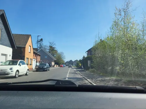
Alt Buir
Restaurant · Croatian, International · 7.7 km
33 Steinweg, Kerpen
Tu-Sa 17:30-22:00; Su 11:30-14:30,17:30-21:30; Mo off
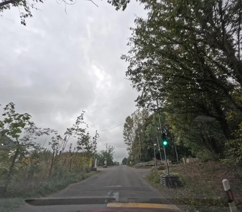
Arnolds Schönes Leben Restaurant
Restaurant · German, Regional · 7.9 km
1 Haesstraße, Erftstadt
Mo-Su 12:00-14:00
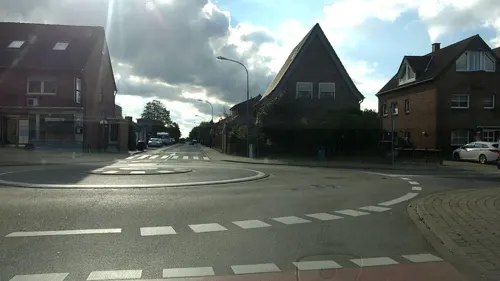
Da Pizza Boys
Restaurant · Pizza · 6.8 km
10 Wiedenaustraße, Bergheim
Mo-Sa 11:30-22:30; Th 12:00-22:30; Su 15:00-22:30
Drachen City
Restaurant · Chinese · 4.7 km
207 Hauptstraße, Kerpen
We-Mo,PH 12:00-14:30, We-Mo 18:00-21:30; Tu off

Alexander
Restaurant · Greek · 4.7 km
126 Erftstraße, Kerpen
Mo,We-Sa 17:00-23:00; Su 11:30-14:30,17:00-22:00

Del Sole - Restaurant & Pizzeria
Restaurant · Italian · 4.6 km
25 Astrid-Lindgren-Straße, Kerpen
Tu-Sa 17:00-23:00, Su 12:00-22:00
Heinemann
Cafe · Cake, Bistro
39 Hahnenstraße, Kerpen
Mo-Fr 06:00-19:00; Sa 06:00-18:00; Su 07:00-18:00
Kaffee und Konfetti
Cafe · Coffee Shop · 4.3 km
Haus Breitmaar, Kerpen
We-Th 14:00-17:30; Fr 10:00-17:30; Sa 10:00-15:00
182 more on the map.
Notable people from Kerpen
 Karlheinz StockhausenGerman composer (1928–2007)Photo: Kathinka Pasveer, CC BY-SA 3.0
 Christman GenipperteingaLegendary German serial killerPhoto: Unknown author Unknown author, Public domain
- Adolph KolpingGerman catholic priest (1813-1865)
- Gerhard StrackGerman football player (1955-2020)
- Franz-Peter HofmeisterGerman sprinter
- Karl MeyerGerman biochemist (1899-1990)
- Joachim WundrakGerman aviator, officer and career soldier
- Bernard EsserAmerican politician
Born in Kerpen, according to Wikidata (CC0). Each name links to its Wikipedia article.
Where to stay19
Churches and places of worship60
Shopping64
Gas and EV charging22
Schools, colleges and libraries40
Healthcare21
Map of Kerpen
250 places. The map loads OpenStreetMap tiles when you open it.
Getting there and nearby towns
Cologne Bonn Airport (CGN) is the nearest airport with scheduled flights listed in OpenStreetMap, 31 km away.
- Türnich 4 km east, about 4 min by car
- Nörvenich 8 km southwest, about 8 min by car
- Erftstadt 9 km southeast, about 9 min by car
- Frechen 9 km northeast, about 9 min by car
- Bergheim 10 km northwest, about 10 min by car
- Hürth 12 km east, about 12 min by car
- Elsdorf 12 km northwest, about 12 min by car
- Brühl 15 km east, about 15 min by car
- Düren 16 km southwest, about 16 min by car
- Pulheim 16 km northeast, about 16 min by car
Drive times are estimates from straight-line distance, not routes.
Towns near Kerpen


Keep exploring
Local news
Headlines from INDB.
Reviews, tips and questions
Loading what members have shared...
Sources and licences
- GeoNames (CC BY 4.0): population, coordinates, regions and time zone
- Mapillary (see each image): photos
- OpenStreetMap contributors (ODbL 1.0): places, airports, map data
- Wikidata (CC0 1.0): elevation, founding date, time zone, website
- Wikimedia Commons (see each image): photos
- Wikipedia (CC BY-SA 4.0): overview and history text
Photo credits
- Kerpen-1, Velopilger, CC0
- Bücherschrank Kerpen 02, Achim Raschka, CC0
- Bücherschrank Kerpen 01, Achim Raschka, CC0
- Kerpen Freiheitsstraße 12, Fotoschorschi, CC BY-SA 4.0
- 23-12-21 Gedenkstein für die ermordeten Juden in Kerpen back 02, Achim Raschka, CC BY-SA 4.0
- 23-12-21 Gedenkstein für die ermordeten Juden in Kerpen back 03, Achim Raschka, CC BY-SA 4.0
- 23-12-21 Gedenkstein für die ermordeten Juden in Kerpen back 01, Achim Raschka, CC BY-SA 4.0
- Kerpen Feldstraße 41, Fotoschorschi, CC BY-SA 4.0
- Wegekreuz in Kerpen, Schützenstraße, Ecke Alte Landstraße, Fotoschorschi, CC BY-SA 4.0
- Wegekreuz, Kerpen, Schützenstraße, Ecke Alte Landstraße, Fotoschorschi, CC BY-SA 4.0
- Monochrome pug in kerpen (Unsplash), Brina Blum brina_blum, CC0
- Langenich (Kerpen), Preußischer Rundkopfmeilenstein, Manfred Schröter, Berga, CC BY-SA 4.0
- Kerpen Aquaedukt Erft Kleine Erft n 9690, Karlunun, CC BY-SA 4.0
- Kerpen Kleine Erft ne 9694 201905, Karlunun, CC BY-SA 4.0
- Kerpen Schloss Loersfeld Wasserburg 02, A.Savin, CC BY-SA 3.0
- Burg-hemmersbach, A.Savin, CC BY-SA 3.0
- Erftstadt Konradsheim01, Achim Raschka ( talk ), CC BY-SA 3.0
- Burg stammeln elsdorf, Klaus Graf, CC BY-SA 3.0
- Schloss Tuernich Herrenhaus 2016, Sir Gawain, CC BY-SA 4.0
- Ahe Sindorfer Straße 19 02, Achim Raschka ( talk ), CC BY-SA 4.0
- Denkmal 018 - Haus Laach, DaRealFox, CC BY-SA 3.0
- Johann-Bugenhagen-Kirche 02, Achim Raschka, CC BY-SA 3.0
- Pfarrkirche St. Medardus, Nörvenich, No machine-readable author provided. Papa1234 assumed (based on copyright claims)., Public domain
- Petrikirche, Quadrath-Ichendorf-9461, Raimond Spekking, CC BY-SA 3.0
- Quadrath-Ichendorf Heilig Kreuz 01, Achim Raschka ( talk ), CC BY-SA 4.0
- Kerpen-Brueggen Lukaskirche 01, Achim Raschka, CC BY-SA 3.0
- Kerpen Evangelische Kirche 01, Achim Raschka ( talk ), CC BY-SA 4.0
- St. Kunibert (Blatzheim) (03), Chris06, CC BY-SA 4.0
- Evkirche-sindorf, A.Savin, CC BY-SA 3.0
- Eingangsbereich AKBK, AKBK Horrem, CC BY-SA 4.0
- 2024 Emmauskirche (Erftstadt-Gymnich) (1), Chris06, CC BY-SA 4.0
- Buir evangelische Kirche, Karl-Heinz Meurer, CC BY-SA 3.0
- Burg Bergerhausen Suedseite, Tohma, CC BY-SA 3.0
- Fürstenbergmaar, Bernd Geßmann, CC BY-SA 3.0
- Nordrhein-Westfalen, NSG Kerpener Bruch, Auenlandschaft 2, Lennox100, CC BY-SA 3.0
- Erft Sindorf 2, Seestern85, CC BY-SA 3.0
- Horrem Evangelische Kirche 01, Achim Raschka ( talk ), CC BY-SA 4.0
- Blatzheim St. Kunibert 01, Achim Raschka ( talk ), CC BY-SA 4.0
- Ahe Kirche 01, Achim Raschka ( talk ), CC BY-SA 4.0
- Muehle gymnich, Superbass, CC BY-SA 3.0
- Wilhelmshöhe-Hürth, Gelli63, CC BY-SA 4.0
- Street-level photo, walldi222, CC BY-SA 4.0
- Street-level photo, walldi222, CC BY-SA 4.0
- Street-level photo, etlam, CC BY-SA 4.0
- Street-level photo, etlam, CC BY-SA 4.0
- Street-level photo, walldi222, CC BY-SA 4.0
- Street-level photo, walldi222, CC BY-SA 4.0
- Street-level photo, walldi222, CC BY-SA 4.0
- Street-level photo, etlam, CC BY-SA 4.0
- Street-level photo, etlam, CC BY-SA 4.0
- Street-level photo, etlam, CC BY-SA 4.0
- Street-level photo, walldi222, CC BY-SA 4.0
- Street-level photo, hirschkauz, CC BY-SA 4.0
- Street-level photo, Feuerundwasser, CC BY-SA 4.0
- Street-level photo, noel, CC BY-SA 4.0
- Street-level photo, etlam, CC BY-SA 4.0
- Street-level photo, walldi222, CC BY-SA 4.0
- Street-level photo, etlam, CC BY-SA 4.0


Page built November 9, 2026. Spotted a mistake? Tell us or suggest a place.