


Wadersloh, Germany
Wadersloh is a town of 5,130 people in North Rhine-Westphalia, Germany.
Why visit Wadersloh
Townapedia lists 53 museums and landmarks, 31 parks and trails, 94 places to eat, 17 places to stay and 12 attractions in and around town.
Highlights include Burgbühne Stromberg, Stadttheater, Kunst Raum Hof Scheer and Museum Abtei Liesborn.
Weather in Wadersloh
Forecast from MET Norway (CC BY 4.0). Full forecast
About Wadersloh
Wadersloh (German pronunciation: [ˈvaːdɐsloː]) is a municipality in the district of Warendorf, in North Rhine-Westphalia, Germany. It is situated approximately 10 km north-west of Lippstadt and 30 km east of Hamm. In it there is a grammar school which is named Gymnasium Johanneum. Wadersloh was the place of a bike race in 2008 with competitors from all over the world.
From the Wikipedia article Wadersloh (this version), under CC BY-SA 4.0.
Things to do12





Museums and landmarks53

Kunst Raum Hof Scheer
Museum · 8.1 km
Über 200 Jahre wurde der Hof Scheer landwirtschaftlich genutzt. Seit fünf Jahren sind die Geschwister Scheer gemeinsame Eigentümer von...
26 Gieselerweg, Lippstadt
Sa-Su 13:00-18:00 || "nach Vereinbarung"

Museum Abtei Liesborn
Museum · 2.4 km
Tu-Fr 09:00-12:00,14:00-17:00; Sa,Su 14:00-17:00; PH,Mo off

Haus Heerfeld
Monument and historic site · 7.1 km
5 Göttinger Straße, Wadersloh

Schloss Herringhausen
Monument and historic site · 8.8 km
1 Schorlemerallee, Lippstadt


Ankermast
Monument and historic site · 6.5 km
Am 2. Juni 1912 landete hier das Luftschiff "Victoria Louise". Der Sockel des Ankermastes wurde als Denkmal genutzt.
41 more on the map.
Parks, trails and playgrounds31

CabrioLi
Sports field and stadium · 8.7 km
10 Bückeburger Straße, Lippstadt
Mo,We,Th,Fr 06:30-21:00; Tu,Sa,PH,Su 08:00-21:00






Freibad Gaßbachtal
Sports field and stadium · 8.0 km
Mo, We-Fr 07:00-19:00; Tu 14:00-20:00; Sa-Su 08:00-19:00

19 more on the map.
Restaurants and cafes94
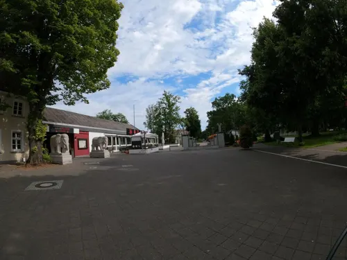
Neue Welt Lippstadt
Restaurant · Asian · 6.4 km
58 Quellenstraße, Lippstadt
Mo,We-Sa 11:30-15:00,17:30-23:00; Tu off; PH,Su 11:00-23:00
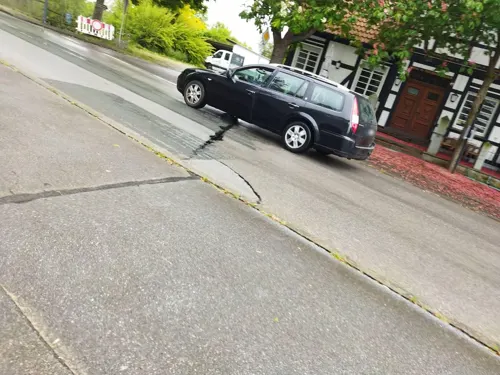
Gasthof Scheer
Restaurant · 8.0 km
1 Friedhardtskirchener Straße, Lippstadt
Mo 16:00+; Tu off; We-Sa 15:00+; Su,PH 09:30+

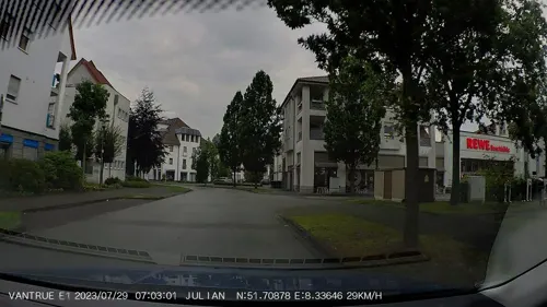
Aroma Grill & Pizzeria
Restaurant · Pizza · 6.5 km
Tu-Sa 17:00-22:00; Mo off; Su 11:00-14:00, 17:00-22:00
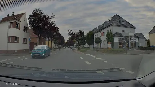


Tapas Bar "Sevilla"
Restaurant · Spanish · 6.3 km
1 Klusestraße, Lippstadt
Mo,We,Th,Fr 17:00-22:00; Sa 12:00-23:00; Su 12:00-21:00
Terholsen
Cafe · 8.2 km
8 Daudenstraße, Oelde
Mo-Tu, Th-Fr 06:30-12:00, 14:00-17:30; Sa 06:30-12:00; Su...

Eiscafé Walibo
Ice cream · 6.3 km
22 Parkstraße, Lippstadt
Mo-Su 12:00-18:00 || Mo-Su 13:00-16:00 "Bei regnerischem Wetter"


Hubertushof
Restaurant · German, Mediterranean, Venison · 6.7 km
8 Holzstraße, Lippstadt
Tu-Sa 18:00-24:00, Su 12:00-15:00
82 more on the map.
Where to stay17
Churches and places of worship35
Katholische Kirche St. Martinus Benninghausen
Church · Roman Catholic · 8.4 km
26 Dorfstraße, Lippstadt
St. Clemens
Church · Roman Catholic · 7.8 km
3 Am Kirchplatz, Lippstadt
Shopping30
Gas and EV charging12
Schools, colleges and libraries22
Healthcare14
LWL-Tagesklinik und LWL-Institutsambulanz Lippstadt
Clinic and pharmacy · 8.7 km
15 Am Nordbahnhof, Lippstadt
Facharztzentrum am EVK
Clinic and pharmacy · 8.4 km
33 Wiedenbrücker Straße, Lippstadt
Map of Wadersloh
250 places. The map loads OpenStreetMap tiles when you open it.
Getting there and nearby towns
Airport Paderborn/Lippstadt (PAD) is the nearest airport with scheduled flights listed in OpenStreetMap, 29 km away.
- Lippstadt 9 km southeast, about 9 min by car
- Oelde 13 km northwest, about 13 min by car
- Rheda-Wiedenbrück 13 km north, about 13 min by car
- Beckum 15 km west, about 15 min by car
- Rietberg 15 km northeast, about 15 min by car
- Erwitte 15 km southeast, about 15 min by car
- Bad Sassendorf 18 km south, about 18 min by car
- Ennigerloh 19 km northwest, about 19 min by car
- Soest 20 km southwest, about 20 min by car
- Gütersloh 21 km northeast, about 21 min by car
Drive times are estimates from straight-line distance, not routes.
Local news
Headlines from INDB.
Reviews, tips and questions
Loading what members have shared...
Sources and licences
- GeoNames (CC BY 4.0): population, coordinates, regions and time zone
- Mapillary (see each image): photos
- OpenStreetMap contributors (ODbL 1.0): places, airports, map data
- Wikidata (CC0 1.0): elevation, founding date, time zone, website
- Wikimedia Commons (see each image): photos
- Wikipedia (CC BY-SA 4.0): overview and history text
Photo credits
- P1010014 Abtei Liesborn, Chris06, Public domain
- Wadersloh Wasserturm, Oberlausitzerin64, CC BY-SA 4.0
- Wadersloh St. Margareta panoramio, McBodes, CC BY 3.0
- Wadersloh Kirche - Deutschland- Germany - panoramio, McBodes, CC BY 3.0
- St. Antonius Benteler, Daniel Brockpähler, CC BY-SA 3.0
- P1010007 Stromberg Lambertus, Chris06, Public domain
- Johanneum Aula des Neubaus, Wiki Gh!, CC BY-SA 3.0
- Lippstadt-Bad Waldliesborn-St. Josef, Hagar66, CC BY-SA 3.0
- Abtei Liesborn Wappen 2009, Stefan Didam - Schmallenberg, CC BY-SA 3.0
- Liesborn - Haus Heerfeld, Ath, CC0
- Wadersloh Schloss Crassenstein, Stahlkocher, CC BY-SA 3.0
- Herringhausen schloss, Varus111, CC BY 3.0
- Cappel3, Chris06, Public domain
- Burgbühne Stromberg, Sperrvermerk, CC0
- St. Martin Benninghausen, Nordostansicht, 1911, Unknown photographer, Public domain
- Frühlings-Knotenblume, Leucojum vernum 38, Feel free to use my photos, but please mention me as the author and if you want send me a message . or ( [email protected] ), CC BY 3.0 at
- Stadttheater Lippstadt 2024, Heiner Kriener, Lippstadt, Bearbeitung Gisbert König, Lippstadt, CC BY-SA 4.0
- Lippstadt - NSG Lusebredde - 1, Ath, CC0
- Lippstadt, Germany - panoramio (26), Foto Fitti, CC BY-SA 3.0
- Göttingen - St. Georg - 1, Ath, CC0
- Evangelische Kirche Langenberg, Daniel Brockpähler, CC BY-SA 3.0
- Lippstadt - NSG Großes Holz - 1, Ath, CC0
- Stromberg - Kreuzbusch - 5, Ath, CC0
- Benninghausen, Willi Classen, CC BY-SA 3.0
- Lippstadt - NSG Lusebredde - 5, Ath, CC0
- Lippstadt - Margaretensee - 2, Ath, CC0
- Abtei Liesborn 2009, Stefan Didam - Schmallenberg, CC BY-SA 3.0
- Zaremba Marco, Benedikt Brüggenthies, CC BY-SA 4.0
- Liesborn, Museum, Theobald von Oer, Selbstbildnis mit Hermann Matthäi, 1831, Dguendel, CC BY 4.0
- Liesborn, Museum, unbekannter Künstler, Bildnis von Abt Karl von Kerssenbrock, Dguendel, CC BY 4.0
- Liesborn, Museum, Peter August Böckstiegel, Dresden Eichbusch, 1934, Dguendel, CC BY 4.0
- Liesborn, Museum, Monstranz, Dguendel, CC BY 4.0
- Liesborn, Museum, Kruzifix mit betendem Mönch, Rhein-Maas-Gebiet, 14.Jahrhundert, Dguendel, CC BY 4.0
- Liesborn, Museum, Vesperbild, ca.1440, Dguendel, CC BY 4.0
- Liesborn, Museum, Doppelbildstock aus Milte, Westfalen, Anfang des 18.Jahrhunderts, Bild 2, Dguendel, CC BY 4.0
- Liesborn, Museum, Corpus eines Wegekreuzes aus Enningerloh, Westfalen ca.1800, Dguendel, CC BY 4.0
- Liesborn, Museum, Sekretär, Dguendel, CC BY 4.0
- Liesborn, Museum, Peter August Böckstiegel, Flüchtlingsfrau, 1949, Dguendel, CC BY 4.0
- Liesborn, Museum, das Krebswunder aus der Vita des hl.Xaver, Information, Dguendel, CC BY 4.0
- Liesborn, Museum, Statue der Wilgefortis, Information, Dguendel, CC BY 4.0
- Street-level photo, VIA_KK, CC BY-SA 4.0
- Street-level photo, nrailuj, CC BY-SA 4.0
- Street-level photo, flohoff, CC BY-SA 4.0
- Street-level photo, changchun1, CC BY-SA 4.0
- Street-level photo, nrailuj, CC BY-SA 4.0
- Street-level photo, poxonline, CC BY-SA 4.0
- Street-level photo, nrailuj, CC BY-SA 4.0
- Street-level photo, flohoff, CC BY-SA 4.0
- Street-level photo, nrailuj, CC BY-SA 4.0
- Street-level photo, flohoff, CC BY-SA 4.0
- Street-level photo, nrailuj, CC BY-SA 4.0
- Street-level photo, changchun1, CC BY-SA 4.0
- Street-level photo, nrailuj, CC BY-SA 4.0
- Street-level photo, flohoff, CC BY-SA 4.0
- Street-level photo, nrailuj, CC BY-SA 4.0
- Street-level photo, nrailuj, CC BY-SA 4.0
- Street-level photo, flohoff, CC BY-SA 4.0
- Street-level photo, nrailuj, CC BY-SA 4.0
- Street-level photo, baldur80, CC BY-SA 4.0


Page built November 9, 2026. Spotted a mistake? Tell us or suggest a place.