


Why visit Oelde
Townapedia lists 36 museums and landmarks, 39 parks and trails, 93 places to eat, 17 places to stay and 15 attractions in and around town.
Highlights include Burgbühne Stromberg, Kino am Rathaus Oelde, Museum für westfälische Literatur (Haus Nottbeck) and Spannbetonbrücke.
Weather in Oelde
Forecast from MET Norway (CC BY 4.0). Full forecast
About Oelde
Oelde (German pronunciation: [ˈœldə] ; Low German: Üle) is a town in the district of Warendorf, in North Rhine-Westphalia, Germany. It is located near Beckum.
From the Wikipedia article Oelde (this version), under CC BY-SA 4.0.
Things to do15





3 more on the map.
Museums and landmarks36

Museum für westfälische Literatur (Haus Nottbeck)
Museum · 5.7 km
Museum für westfälische Literatur
1 Landrat-Predeick-Allee, Oelde

Spannbetonbrücke
Monument and historic site · 6.4 km
Erste deutsche Spannbetonbrücke

Haus Bosfeld
Monument and historic site · 7.7 km
36, Rheda-Wiedenbrück

Haus Geist
Monument and historic site · 3.2 km
10 Haus-Geist-Weg, Oelde

Haus Vornholz
Monument and historic site · 6.1 km
11 Steinpatt, Ennigerloh

Kindermuseum KLIPP KLAPP
Museum · 1.2 km
Eintrittspreis im Parkeintritt enthalten
15 Zum Mühlenteich, Oelde



Altes Pfarrhaus Vellern
Monument and historic site · 7.0 km
4 An der Kirche, Beckum
Ehrendenkmal Adolf Storck
Monument and historic site · 8.2 km
Sein Testament ermöglichte die Gründung der Friedlandsiedlung
24 more on the map.
Parks, trails and playgrounds39





Parkbad Oelde
Sports field and stadium · 1.3 km
Eintrittspreis im Parkeintritt enthalten
Mo 12:00-21:00; Tu,We,Fr 06:30-20:00; Th 06:30-21:00; Sa...

27 more on the map.
Restaurants and cafes93
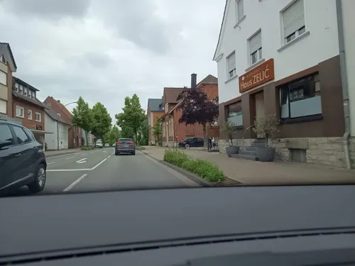
Hotel Restaurant Alt Vellern
Restaurant · Regional · 7.0 km
21 Dorfstraße, Beckum
Mo-Fr 11:30-14:30; Sa-Th 17:30+
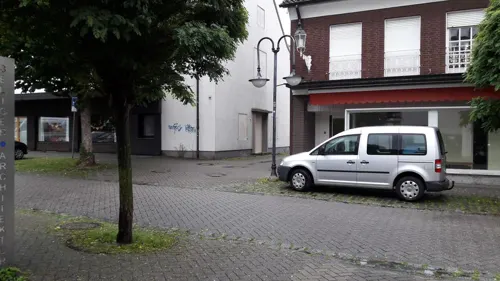
Kreta
Restaurant · Greek, Pizza · 8.4 km
12 Kurze Straße, Ennigerloh
Mo-Tu 16:00-22:00; Fr-Sa 16:00-23:00; Su 11:30-22:00
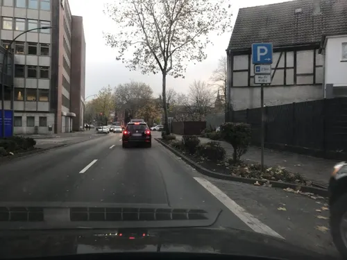
La Fucina Oelde
Restaurant · Italian
25 Eickhoff, Oelde
Tu 17:00-22:00; We, Th 12:00-14:30, 17:00-22:00; Fr 12:00-14:30,...

Landgasthaus Hohenhagen
Restaurant · Regional, Breakfast · 5.2 km
4 Zum Hohen Hagen, Ennigerloh
Su 09:00-13:00
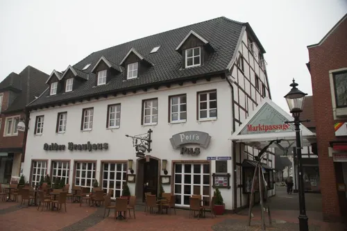
Oelder Brauhaus
Restaurant · German
3 Am Markt, Oelde
Mo-Su 12:00-14:00,18:00-23:00; Tu,Fr 09:30-14:00,18:00-23:00
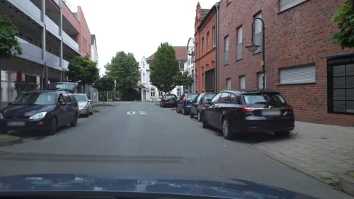
Pinocchio
Restaurant · Pizza · 8.4 km
6 Bahnhofstraße, Ennigerloh
Mo-Sa 11:30-14:30, 17:00-23:00; Su, PH 11:30-23:00
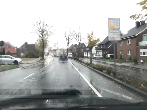
Pizzahaus Piccola Giovanni
Restaurant · Pizza, Pasta, Salad, Italian · 1.6 km
61 In der Geist, Oelde
Mo-Fr 17:00-22:00, Sa-Su 12:00-14:00
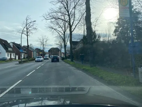
BackCafé Birkholz
Bakery · 1.4 km
37 In der Geist, Oelde
Mo-Fr 05:30-18:30; Sa 05:30-16:00; Su 08:00-16:00
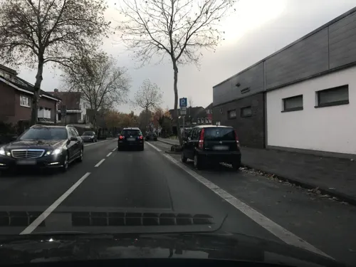
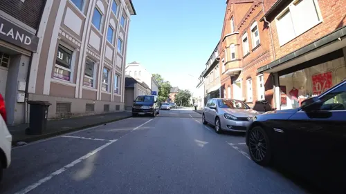
Pizzeria Ristaurante Roma
Restaurant · Italian
2 Wallstraße, Oelde
Tu-Su 12:00-14:00,17:30-23:00; Sa 17:30-23:00
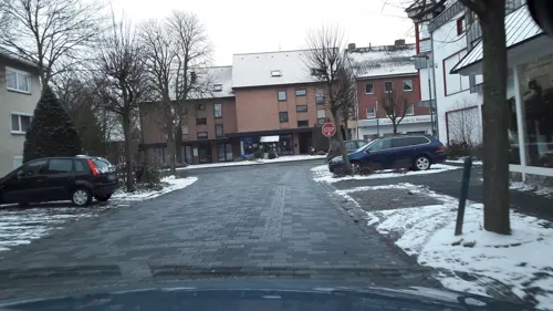


Der Mediterraner
Restaurant · Mediterranean · 8.3 km
2 Alleestraße, Ennigerloh
Tu-Th 17:00-22:00; Fr 17:00-24:00; Sa 11:30-14:30,17:00-24:00; Su...
81 more on the map.
History
The name Oelde was first mentioned in a document around 890 as "Ulithi im Dreingau" in the Urbar of the Werden monastery.
In 1457 a conflagration destroyed the city. In 1498, after the reconstruction, Oelde had 750 citizens. Another fire raged in 1605 and destroyed a total of 18 houses, barns and the town hall.
In 1939, Oelde was given its own exit when the motorway A 2 was built.
In the 1950s and 1960s, a high number of visitors came to Oelde when diplomats accepted the invitation of the Federal Presidents Heuss and Lübke to hunt small game in the state forest "Geisterholz". These events were commonly known as "diplomatic hunts."
In 2001 Oelde hosted one of the most important flower shows ever organized in Westphalia with more than 2.2 million visitors. Since then, the city garden, included in the exhibition grounds and embellished for the occasion, has been commercially exploited under the name "Park of the four seasons" (Vier-Jahreszeiten-Park).
From the History section of Oelde on Wikipedia, under CC BY-SA 4.0.
Where to stay17
Churches and places of worship18
Shopping26
Pro Arbeit e.V. Secondhand-Verkauf - Herzebrock-Clarholz
Shop · 8.0 km
44 Otto-Hahn-Straße, Herzebrock-Clarholz
Gas and EV charging9
Schools, colleges and libraries17
Rosa Parks Gesamtschule, Standort Ennigerloh Berliner Straße
School · 8.1 km
37 Berliner Straße, Ennigerloh
Rosa Parks Gesamtschule, Standort Ennigerloh Ludgerusstraße
School · 8.0 km
1-3 Ludgerusstraße, Ennigerloh
Healthcare8
Map of Oelde
250 places. The map loads OpenStreetMap tiles when you open it.
Getting there and nearby towns
Flugplatz Bielefeld (BFE) is the nearest airport with scheduled flights listed in OpenStreetMap, 31 km away.
- Rheda-Wiedenbrück 11 km east, about 11 min by car
- Warendorf 17 km northwest, about 17 min by car
- Rietberg 19 km east, about 19 min by car
- Sassenberg 20 km north, about 20 min by car
- Sendenhorst 22 km west, about 22 min by car
- Versmold 23 km north, about 23 min by car
- Steinhagen 26 km northeast, about 26 min by car
- Verl 26 km east, about 26 min by car
- Hamm 28 km southwest, about 28 min by car
- Soest 28 km south, about 28 min by car
Drive times are estimates from straight-line distance, not routes.
Local news
Headlines from INDB.
Reviews, tips and questions
Loading what members have shared...
Sources and licences
- GeoNames (CC BY 4.0): population, coordinates, regions and time zone
- Mapillary (see each image): photos
- OpenStreetMap contributors (ODbL 1.0): places, airports, map data
- Wikidata (CC0 1.0): elevation, founding date, time zone, website
- Wikimedia Commons (see each image): photos
- Wikipedia (CC BY-SA 4.0): overview and history text
Photo credits
- Langestraße oelde 2014 1, Eurext, CC BY-SA 3.0
- Schmale Gasse, 1, Oelde, Landkreis Warendorf, GeorgDerReisende, CC BY-SA 4.0
- Schulbushaltestelle Lindenstraße, 1, Oelde, Landkreis Warendorf, GeorgDerReisende, CC BY-SA 4.0
- Stolperstein Sophia Aschenberg, 1, Lindenstraße 23, Oelde, Landkreis Warendorf, GeorgDerReisende, CC BY-SA 4.0
- Stolpersteinlage, 1, Lindenstraße 23, Oelde, Landkreis Warendorf, GeorgDerReisende, CC BY-SA 4.0
- Lindenstraße 23, 1, Oelde, Landkreis Warendorf, GeorgDerReisende, CC BY-SA 4.0
- Bushaltestelle Bahnhof, 1, Oelde, Landkreis Warendorf, GeorgDerReisende, CC BY-SA 4.0
- Warendorfer Straße 11, 1, Oelde, Landkreis Warendorf, GeorgDerReisende, CC BY-SA 4.0
- Lindenstraße, 2, Oelde, Landkreis Warendorf, GeorgDerReisende, CC BY-SA 4.0
- Warendorfer Straße, 2, Oelde, Landkreis Warendorf, GeorgDerReisende, CC BY-SA 4.0
- Lindenstraße, 1, Oelde, Landkreis Warendorf, GeorgDerReisende, CC BY-SA 4.0
- Warendorfer Straße, 1, Oelde, Landkreis Warendorf, GeorgDerReisende, CC BY-SA 4.0
- Ruggestraße 32, 1, Oelde, Landkreis Warendorf, GeorgDerReisende, CC BY-SA 4.0
- Ruggestraße 29, 1, Oelde, Landkreis Warendorf, GeorgDerReisende, CC BY-SA 4.0
- Warendorfer Straße 25, 1, Oelde, Landkreis Warendorf, GeorgDerReisende, CC BY-SA 4.0
- Bahnhof, 1, Oelde, Landkreis Warendorf, GeorgDerReisende, CC BY-SA 4.0
- Linie 471, 1, Oelde, Landkreis Warendorf, GeorgDerReisende, CC BY-SA 4.0
- Ruggestraße 23, 1, Oelde, Landkreis Warendorf, GeorgDerReisende, CC BY-SA 4.0
- Linie R76, 3, Oelde, Landkreis Warendorf, GeorgDerReisende, CC BY-SA 4.0
- Linie 473, 1, Oelde, Landkreis Warendorf, GeorgDerReisende, CC BY-SA 4.0
- Warendorfer Straße 27, 1, Oelde, Landkreis Warendorf, GeorgDerReisende, CC BY-SA 4.0
- Warendorfer Straße 29, 1, Oelde, Landkreis Warendorf, GeorgDerReisende, CC BY-SA 4.0
- Warendorfer Straße 25, 2, Oelde, Landkreis Warendorf, GeorgDerReisende, CC BY-SA 4.0
- Linie 374, 2, Oelde, Landkreis Warendorf, GeorgDerReisende, CC BY-SA 4.0
- Linie 374, 1, Oelde, Landkreis Warendorf, GeorgDerReisende, CC BY-SA 4.0
- Bushaltestelle Bahnhof, 2, Oelde, Landkreis Warendorf, GeorgDerReisende, CC BY-SA 4.0
- Warendorfer Straße 29, 2, Oelde, Landkreis Warendorf, GeorgDerReisende, CC BY-SA 4.0
- Eickhoff 25, 1, Oelde, Landkreis Warendorf, GeorgDerReisende, CC BY-SA 4.0
- Lehmwall, 1, Oelde, Landkreis Warendorf, GeorgDerReisende, CC BY-SA 4.0
- Warendorfer Straße 27, 2, Oelde, Landkreis Warendorf, GeorgDerReisende, CC BY-SA 4.0
- Mühlenweg 1, 2, Oelde, Landkreis Warendorf, GeorgDerReisende, CC BY-SA 4.0
- Warendorfer Straße 29, 4, Oelde, Landkreis Warendorf, GeorgDerReisende, CC BY-SA 4.0
- Stolpersteinlage, 2, Eickhoff 10, Oelde, Landkreis Warendorf, GeorgDerReisende, CC BY-SA 4.0
- Mühlenweg 1, 1, Oelde, Landkreis Warendorf, GeorgDerReisende, CC BY-SA 4.0
- Poststraße-Bahnhofstraße, Oelde, Andreas Vogel, CC BY-SA 3.0
- Oelde Bahnhof, Andreas Vogel, CC BY-SA 3.0
- Oelde Bahnhof2, Eurext, CC BY-SA 3.0
- Bahnhofstraße 27, 1, Oelde, Landkreis Warendorf, GeorgDerReisende, CC BY-SA 4.0
- Stolperstein Martin Fritzler, 1, Eickhoff 10, Oelde, Landkreis Warendorf, GeorgDerReisende, CC BY-SA 4.0
- Stolperstein Henriette Daltrop, 1, Eickhoff 10, Oelde, Landkreis Warendorf, GeorgDerReisende, CC BY-SA 4.0
- Überführung Weg Hesseler von Süden 01, Elke Wetzig, CC BY-SA 3.0
- Ruine Nienburg 9, Haferflockentüte, CC BY-SA 3.0
- Ostenfelde Schloss Vornholz 2 Einfahrt, Haferflockentüte, CC BY-SA 3.0
- Haus Geist, 2019, Wik FGK, CC BY-SA 4.0
- P1010007 Stromberg Lambertus, Chris06, Public domain
- St. Johannes der Täufer (Kirche in Oelde), Kanada2000, CC BY-SA 3.0
- 23Haus Nottbeck 2, Varus111, Public domain
- Schloss Möhler 2014 1, Eurext, CC BY-SA 3.0
- Ostenfelde - St. Margaretha - 4, Ath, CC0
- Wiki-Suenninghausen Sankt-Vituskirche, Kateer, CC BY-SA 3.0
- Burgbühne Stromberg, Sperrvermerk, CC0
- Ostenfelde Schürenbrink Kapelle 2, Haferflockentüte, CC BY-SA 3.0
- Polygonatum multiflorum flowers 04.05.2025, Dreiundsiebzig, CC0
- Rheda - Haus Bosfeld - 1, Ath, CC0
- St. Pankratius Kirche Vellern, Kryptonit, CC BY-SA 4.0
- Evangelische Kirche in Ostenfelde, Haferflockentüte, CC BY-SA 3.0
- Evangelische Kirche in Ennigerloh - panoramio, qwesy qwesy, CC BY 3.0
- Beelen - NSG Beelener Mark - 03, Ath, CC0
- 2 Schneise NSG WAF017 Bergeler Wald, Rudi346, CC BY-SA 4.0
- 8 Lichtung NSG WAF052 Geisterholz, Rudi346, CC BY-SA 4.0
- Stromberg - Kreuzbusch - 5, Ath, CC0
- 20140601 130544 NSG Steinbruch Vellern, Beckum (DSC02243), Günter Seggebäing, Coesfeld, CC BY-SA 3.0
- Street-level photo, sunufatarungo, CC BY-SA 4.0
- Street-level photo, zuse, CC BY-SA 4.0
- Street-level photo, cm_hamburg, CC BY-SA 4.0
- Street-level photo, sunufatarungo, CC BY-SA 4.0
- Street-level photo, sunufatarungo, CC BY-SA 4.0
- Street-level photo, derlipper, CC BY-SA 4.0
- Street-level photo, alucardo, CC BY-SA 4.0
- Street-level photo, alucardo, CC BY-SA 4.0
- Street-level photo, flohoff, CC BY-SA 4.0
- Street-level photo, sunufatarungo, CC BY-SA 4.0
- Street-level photo, sunufatarungo, CC BY-SA 4.0
- Street-level photo, alucardo, CC BY-SA 4.0
- Street-level photo, zuse, CC BY-SA 4.0
- Street-level photo, zuse, CC BY-SA 4.0
- Street-level photo, flohoff, CC BY-SA 4.0
- Street-level photo, poxonline, CC BY-SA 4.0
- Street-level photo, alucardo, CC BY-SA 4.0
- Street-level photo, zuse, CC BY-SA 4.0
- Street-level photo, flohoff, CC BY-SA 4.0


Page built November 8, 2026. Spotted a mistake? Tell us or suggest a place.