


Waldbrunn, Germany
Waldbrunn is a town of 5,847 people in Hesse, Germany, founded in 1972.
Why visit Waldbrunn
Townapedia lists 10 museums and landmarks, 9 parks and trails, 24 places to eat, 7 places to stay and 5 attractions in and around town.
Highlights include Braunsberg, Gleisenberg, Heidenhäuschen and Schullandheim Burg Waldmannshausen.
Weather in Waldbrunn
Forecast from MET Norway (CC BY 4.0). Full forecast
About Waldbrunn
Waldbrunn (Westerwald) (German pronunciation: [ˈvaltˌbʁʊn]) is a municipality in Limburg-Weilburg district in Hesse, Germany.
From the Wikipedia article Waldbrunn, Hesse (this version), under CC BY-SA 4.0.
Things to do5

Museums and landmarks10

Heidenhäuschen
Monument and historic site · 4.1 km
Hill in Hesse, Germany

Schullandheim Burg Waldmannshausen
Monument and historic site · 3.9 km
39 Frickhofener Straße, Elbtal



Bildstock Hintermeilingen/Lahr
Monument and historic site · Roman Catholic · 2.1 km

Parks, trails and playgrounds9

Stauwurzel des Seeweihers bei Mengerskirchen
Hiking and trails · 4.8 km




Restaurants and cafes24
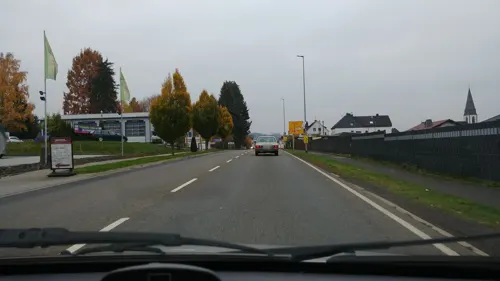

Feuerwache Westerwald
Restaurant · Regional · 0.9 km
3-5 Kirchgasse, Waldbrunn (Westerwald)
Su 10:00-20:00
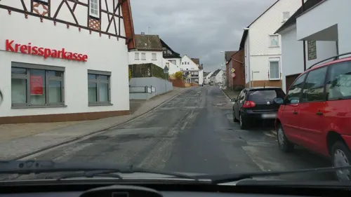
Bäckerei Ott
Bakery · 2.5 km
16 Schieferstraße, Waldbrunn (Westerwald)
Mo-Sa 06:00-11:00; Su 07:00-11:00

herdering
Bakery · 3.4 km
1c Mainzer Landstraße, Elbtal
Mo-Sa 07:00-20:00; Su,PH 08:00-13:00
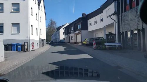
Alte Schmiede
Bar and pub · 1.1 km
32 Langstraße, Waldbrunn (Westerwald)
Tu,Sa 17:30+; We 10:00-13:00,18:45+; Fr 10:00-13:00,17:30+; Su,PH...
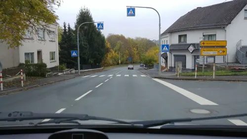
Pizzeria Ristorrante Calabria
Restaurant · Italian, Italian Pizza · 3.4 km
4 Siegener Straße, Elbtal
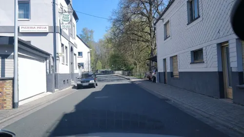
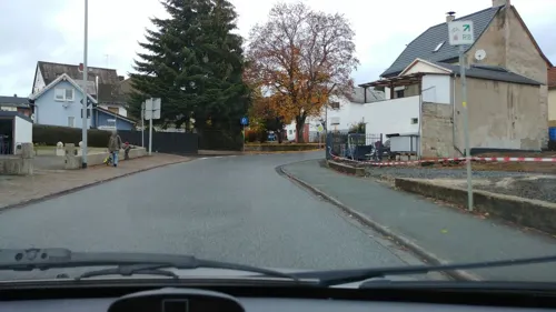
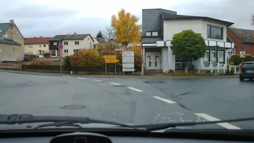
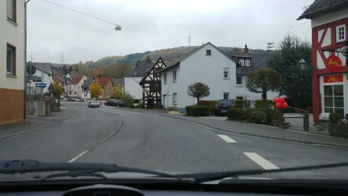


12 more on the map.
History
The community of Waldbrunn is largely coëxtensive with the former parish and tithing area of Lahr, one of four that once belonged to the Amt of Ellar. The three other parishes were the tithing areas of Frickhofen, Elsoff and Niederzeuzheim (known collectively as the Vier Centen).
Until 1815, the centre of Waldernbach (nowadays part of the community of Mengerskirchen) also belonged to the parish of Lahr along with the now forsaken centres of Wehnaue/Winnau, Wenigen-Reynderroytchen, Brotelbach, Brechtelbach, Gralshofen and Oberhof.
The oldest trace of man in what is now the community is an urnfield grave from the Bronze Age near Fussingen. After the Ubii migrated from the area in 38 BC, it was settled by the Usipeti.
In Frankish times, the Amt of Ellar with its four tithing areas belonged to the Niederlahngau under the Counts of Diez. In 1337, they sold the Counts of Katzenelnbogen this Amt. In 1401, Gerhard Kelner appears as the first Keller (a kind of estate manager) of the County of Katzenelnbogen in Ellar.
From 1491 comes the oldest preserved print of the Ellar court's seal, which later yielded today's civic coat of arms. The court was dedicated to St. Maximinus. The Amt of Ellar found itself in Nassau-Dillenburg's hands in 1557.
From the History section of Waldbrunn, Hesse on Wikipedia, under CC BY-SA 4.0.
Where to stay7
Churches and places of worship15
St. Leonhard
Church · Roman Catholic · 0.9 km
2 Kirchgasse, Waldbrunn (Westerwald)
Shopping5
Gas and EV charging4
Schools, colleges and libraries6
Healthcare2
Map of Waldbrunn
87 places. The map loads OpenStreetMap tiles when you open it.
Getting there and nearby towns
Siegerlandflughafen (SGE) is the nearest airport with scheduled flights listed in OpenStreetMap, 21 km away.
- Langendernbach 5 km northwest, about 5 min by car
- Mengerskirchen 6 km northeast, about 6 min by car
- Hadamar 9 km southwest, about 9 min by car
- Weilburg 12 km east, about 12 min by car
- Dehrn 11 km south, about 11 min by car
- Elz 13 km southwest, about 13 min by car
- Selters 13 km east, about 13 min by car
- Runkel 13 km south, about 13 min by car
- Driedorf 14 km northeast, about 14 min by car
- Limburg an der Lahn 16 km south, about 16 min by car
Drive times are estimates from straight-line distance, not routes.
Local news
Headlines from INDB.
Reviews, tips and questions
Loading what members have shared...
Sources and licences
- GeoNames (CC BY 4.0): population, coordinates, regions and time zone
- Mapillary (see each image): photos
- OpenStreetMap contributors (ODbL 1.0): places, airports, map data
- Wikidata (CC0 1.0): elevation, founding date, time zone, website, landmarks and historic places
- Wikimedia Commons (see each image): photos
- Wikipedia (CC BY-SA 4.0): overview and history text
Photo credits
- Kirche-Burg, Fjst (fj staudt) at de.wikipedia, Public domain
- Fussingen - Feuerwehr und Rathaus der Gemeinde Waldbrunn Westerwald (1 04.2015), Oliver Abels, CC BY-SA 4.0
- Fussingen - Feuerwehr und Rathaus der Gemeinde Waldbrunn Westerwald (2 04.2015), Oliver Abels, CC BY-SA 4.0
- Hausen (Waldbrunn WW) - St. Laurentius (KD.HE 52290 1 04.2015), Oliver Abels, CC BY-SA 4.0
- Waldbrunn WW Hausen Kirche, Oliver Abels ( SBT ), CC BY 2.5
- Hausen (Waldbrunn WW) - Hofraitenhaus Neustraße 2 (KD.HE 52292 1 04.2015), Oliver Abels, CC BY-SA 4.0
- Heidenhauschen-von Merenberg, Oliver Abels ( SBT ), CC BY-SA 3.0
- Waldbrunn WW Ellar Burg, Oliver Abels ( SBT ), CC BY 2.5
- Burg Waldmannshausen Front, Cschmitt, Public domain
- Tongruben Hintermeilingen 20230128 172118, Nassauer27, CC BY-SA 4.0
- Heckholzhausen Kirche, Oliver Abels ( SBT ), CC BY 2.5
- Langendernbach Pfarrkirche, Volker Thies ( Asdrubal ), CC BY-SA 3.0
- Dorchheim - Kapelle südwest, Oliver Abels ( SBT ), CC BY-SA 3.0
- Mengerskirchen Waldernbach Kirche, Oliver Abels ( SBT ), CC BY 2.5
- Ellar - St Maximinus (KD.HE 52275 1 04.2015), Oliver Abels, CC BY-SA 4.0
- Hintermeilingen Mariae Verkündung (1), Oliver Abels ( SBT )), CC BY-SA 3.0
- Hintermeilingen Bildstock Lahrer Weg (1), Oliver Abels ( SBT )), CC BY-SA 3.0
- Fussingen - Kirche, Oliver Abels ( SBT ), CC BY 2.5
- Hausen WW 52290 StLaurentius gesamt2, Oliver Abels ( SBT ), CC BY-SA 3.0
- Fussingen - Ehemaliger Bahnhof der Kerkerbachbahn (1 04.2015), Oliver Abels, CC BY-SA 4.0
- Fussingen - Bildstock an der Straße nach Hausen (2 06.2015), Oliver Abels, CC BY-SA 4.0
- Fussingen - Bildstock an der Straße nach Hausen (1 06.2015), Oliver Abels, CC BY-SA 4.0
- Fussingen Panorama, Oliver Abels ( SBT ), CC BY 2.5
- Fussingen - Pfarrkirche St. Leonhard (KD.HE 52259 1 06.2015), Oliver Abels, CC BY-SA 4.0
- Fussingen (Westerwald) Kirche (2), Oliver Abels ( SBT ), CC BY-SA 3.0 de
- Fussingen (Westerwald) Nassauische Volksschule, Oliver Abels ( SBT ), CC BY-SA 3.0 de
- Fussingen (Westerwald) Kirche (1), Oliver Abels ( SBT ), CC BY-SA 3.0 de
- Fussingen - Feldkreuz, Oliver Abels ( SBT ), CC BY 2.5
- Fussingen (Westerwald) Feldkreuz detail, Oliver Abels ( SBT ), CC BY-SA 3.0 de
- Fussingen (Westerwald) Feldkreuz, Oliver Abels ( SBT ), CC BY-SA 3.0 de
- Fussingen (Westerwald) Kirche (3), Oliver Abels ( SBT ), CC BY-SA 3.0 de
- Hausen WW 52293 Schule 2, Oliver Abels ( SBT ), CC BY-SA 3.0
- Hausen WW Feuerwehr, Oliver Abels ( SBT ), CC BY-SA 3.0
- Hausen WW 52293 Schule 1, Oliver Abels ( SBT ), CC BY-SA 3.0
- Hausen WW 52289 Pfarrhaus 2, Oliver Abels ( SBT ), CC BY-SA 3.0
- Hausen WW Ehrenmal, Oliver Abels ( SBT ), CC BY-SA 3.0
- Hausen WW Dorfgemeinschaftshaus, Oliver Abels ( SBT ), CC BY-SA 3.0
- Hausen WW 52290 StLaurentius Portal, Oliver Abels ( SBT ), CC BY-SA 3.0
- Hausen WW Bildstock Ortsmitte, Oliver Abels ( SBT ), CC BY-SA 3.0
- Hausen WW Lasterbach, Oliver Abels ( SBT ), CC BY-SA 3.0
- Street-level photo, kreuzschnabel, CC BY-SA 4.0
- Street-level photo, kreuzschnabel, CC BY-SA 4.0
- Street-level photo, kreuzschnabel, CC BY-SA 4.0
- Street-level photo, kreuzschnabel, CC BY-SA 4.0
- Street-level photo, kreuzschnabel, CC BY-SA 4.0
- Street-level photo, kreuzschnabel, CC BY-SA 4.0
- Street-level photo, kreuzschnabel, CC BY-SA 4.0
- Street-level photo, kreuzschnabel, CC BY-SA 4.0
- Street-level photo, kreuzschnabel, CC BY-SA 4.0
- Street-level photo, kreuzschnabel, CC BY-SA 4.0
- Street-level photo, kreuzschnabel, CC BY-SA 4.0
- Street-level photo, kreuzschnabel, CC BY-SA 4.0
- Street-level photo, kreuzschnabel, CC BY-SA 4.0
- Street-level photo, kreuzschnabel, CC BY-SA 4.0


Page built November 9, 2026. Spotted a mistake? Tell us or suggest a place.