


Waldfeucht, Germany
Waldfeucht is a town of 9,305 people in North Rhine-Westphalia, Germany.
Why visit Waldfeucht
Townapedia lists 35 museums and landmarks, 3 parks and trails, 32 places to eat, 6 places to stay and 2 attractions in and around town.
Highlights include BIO-Hofladen-Selfkant, Paraplü, Hofanlage and Gut Altenburg.
Weather in Waldfeucht
Forecast from MET Norway (CC BY 4.0). Full forecast
About Waldfeucht
Waldfeucht (German pronunciation: [ˈvaltˌfɔʏçt]; Limburgish: Vuch [ˈvʏx]) is a German municipality in the Heinsberg district, in North Rhine-Westphalia, Federal Republic of Germany. It is situated on the border with the Kingdom of the Netherlands, approx. 15 km south of Roermond and 8 km west of Heinsberg.
From the Wikipedia article Waldfeucht (this version), under CC BY-SA 4.0.
Things to do2
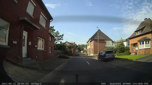
BIO-Hofladen-Selfkant
Farm and orchard · 4.5 km
146 Selfkantstraße, Selfkant
Mo-Fr 09:00-18:00; Sa 09:00-16:00

Paraplü
Farm and orchard
6 Auf dem Wall, Waldfeucht
Mo-Fr 09:30-12:00, Mo-Fr 15:00-18:30, Sa 09:00-14:00
Museums and landmarks35
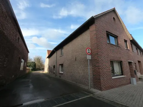
Hofanlage
Monument and historic site · 1.5 km
Das vierachsige und zweigeschossige Wohnhaus begrenzt den Hof zur Straße hin. In dem rechtsanschließenden Wirtschaftsteil ist eine hohe...
31 Kirchstraße, Waldfeucht

Gut Altenburg
Monument and historic site · 4.5 km
Das zweigeschossige Herrenhaus mit Walmdach, mit zweiachsigen Seitenrisaliten und einem dreiachsigen Mittelstück in Backstein. der...
24 Altenburgstraße, Gangelt

Hofanlage
Monument and historic site · 2.6 km
Das zweigeschossige, traufständige Wohnhaus ist ein Feldbrandziegelbau in fünf Achsen mit unregelmäßiger Achsaufteilung. An der Fassade...
42 Engerstraße, Waldfeucht
Alte Schule
Monument and historic site · 2.6 km
Das zweigeschossige Backsteinhaus in vier Achsen wurde über T-förmigen Grundriß errichtet. Es erhält durch einen zweiachsigen...
44 Engerstraße, Waldfeucht
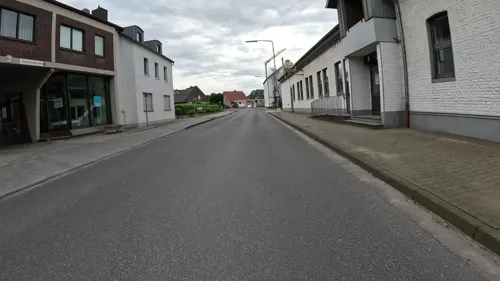
Brauerei Sudwerk
Monument and historic site · 4.4 km
Inneneinrichtung des Sudwerkes im Erdgeschoßbereich der ehemaligen Westmark - Brauerei in Haaren
17a Brauereistraße, Waldfeucht
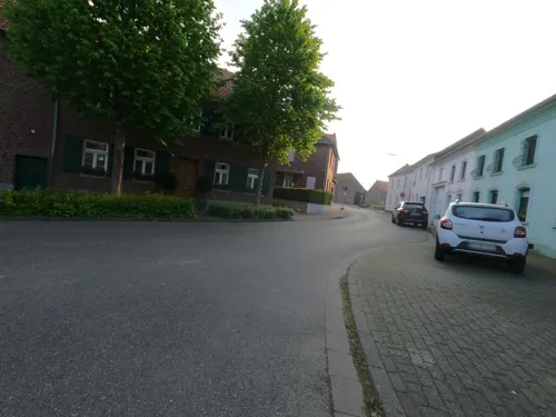
Fassade Hofanlage
Monument and historic site · 3.8 km
Zweigeschossiger Hof. Die Front ist verputzt und ist in vier Achsen mit Toreinfahrt.
6 Maria-Lind, Waldfeucht
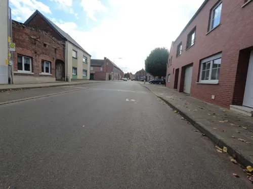
Gaststätte
Monument and historic site · 1.7 km
Ehemalige zweigeschossige Winkelhofanlage, zweiachsig, links Toreinfahrtflügel mit korbbogiger Durchfahrt
55 Hartweg, Waldfeucht
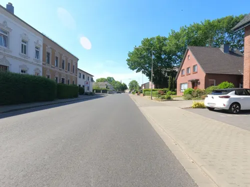
Gerhard-Tholen-Stube
Museum
Der in zeittypischer Backsteinmanier errichtete zweigeschossige Bau erhielt ein angesetztes Treppenhaus und eine in den Geschossen...
32 Brabanter Straße, Waldfeucht
Su[3] 14:00-17:00 open " jeden 3. Sonntag im Monat von 14-17 Uhr...
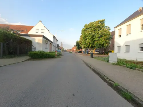
Hausfassade Hofanlage
Monument and historic site · 3.7 km
Teil einer Backsteinhofanlage, das zweigeschossige Wohnhaus ist in vier Achsen und der Torachse angelegt. Türgewände und Fensterbänke...
38 Clemensstraße, Waldfeucht
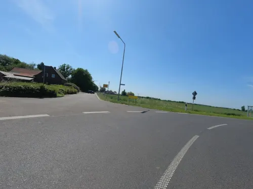
Hofanlage
Monument and historic site · 1.9 km
Zweigeschossiges Wohnhaus aus Backstein mit einem Satteldach
1 Dampfmühle, Waldfeucht
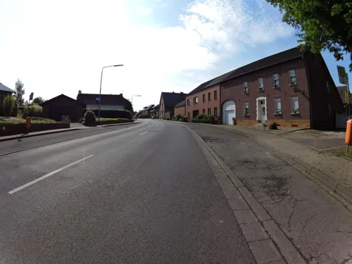
Hofanlage
Monument and historic site · 2.8 km
Dreiflügeliger Backsteinhof mit zweigeschossigem Wohnhaus mit mittlerer Tordurchfahrt. Im Erdgeschoß Blaustein - Fensterrahmen,...
22 Anton-Laumen-Straße, Waldfeucht
Hofanlage Front
Monument and historic site · 3.8 km
Zweigeschossiges Wohnhaus in vier Achsen, links eine Toreinfahrt mit einem Fenster
13 Am Kirchplatz, Waldfeucht
23 more on the map.
Parks, trails and playgrounds3


Restaurants and cafes32

Hotel-Restaurant Braustube
Restaurant · Regional · 4.3 km
Ein zweieinhalbgeschossiges Gebäude in zehn Achsen mit Mittelrisalit und Zwerchgiebel vor dem alles überdeckenden Walmdach. Der...
10 Johannesstraße, Waldfeucht
Mo-Sa 17:30-24:00; Su,PH 11:30-14:30,17:30-24:00
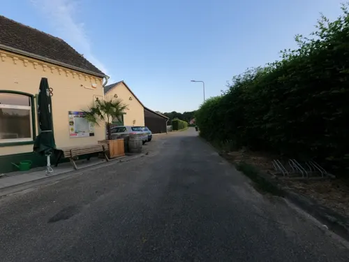
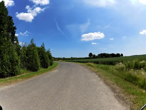
Landgasthof "Haus Lutgen"
Restaurant · German · 3.2 km
40 Paulisweg, Waldfeucht
Mo,Th 19:00-24:00; Tu 00:00-01:00; Fr,Sa 00:00-01:00,19:00-24:00;...
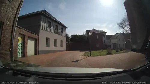
Pizzeria Mario e Rino
Restaurant · Italian
68 Brabanter Straße, Waldfeucht
Mo,We-Sa 17:00-23:00, Su,PH 11:30-23:00, We,Fr 12:00-14:30
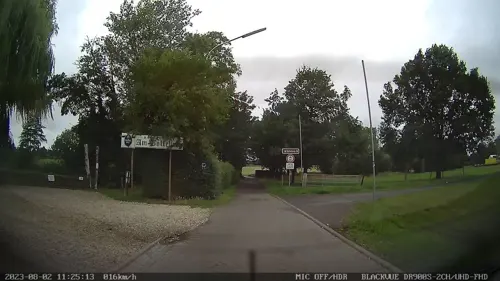
Restaurant Am Bolleberg
Restaurant · Regional · 0.7 km
1 Tilder Weg, Waldfeucht
We-Sa 16:00-22:00; Su 11:00-21:30
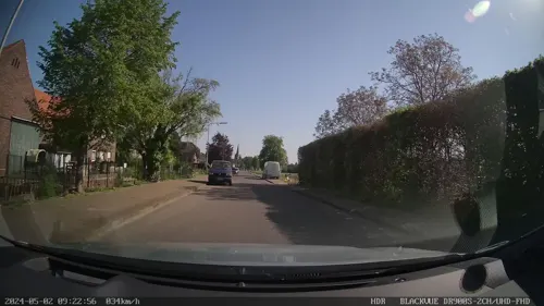
Waldfeuchter Garten
Cafe · Ice Cream
37 Mühlenweid, Waldfeucht
easter - Sep 23: Mo-Fr 15:00-20:00; Sa,Su 11:00-20:00
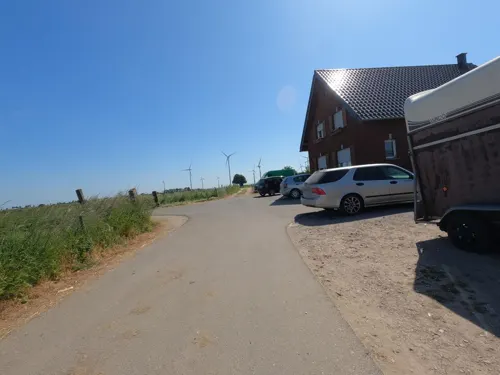
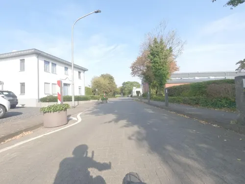



Café aan de Müehle
Cafe · Cake · 3.7 km
998 Waldfeuchter Straße, Gangelt
Sa 12:00-17:00; Su 09:30-17:00
Restaurant Ratsstube
Restaurant · Regional
75 Brabanter Straße, Waldfeucht
Mo off; Tu-Su 10:00-01:00
Trattoria da Sama
Restaurant · Italian · 4.2 km
18 Heinsberger Straße, Selfkant
Tu-Sa 17:00-22:30; Su,PH 12:00-22:30
20 more on the map.
History
Traces of settlement and prehistoric burial grounds prove the presence of people in the Waldfeucht municipal area since the 4th millennium BC. Today's communities are either Franconian settlements of the 6th and 7th centuries, or they emerged as clearing settlements in the 9th and 10th centuries. They are all mentioned in documents from the 12th and 13th centuries.
As early as the 13th century, the village of Waldfeucht was the most important place in the surrounding area, which went beyond today's municipal boundaries, it was called a "city" and had market rights. The location on the Roman road from Heerlen - Xanten and on the road that led from Heinsberg through the Echter Bruch into the Maasland contributed significantly to this development and led to the fact that the ownership of Waldfeucht was disputed between the rival territories of Geldern, Burgundy, Brabant and Heinsberg for centuries. The fortifications around Waldfeucht, today characterized by hedge paths and cottage gardens, which consisted of ramparts, ditches and two city gates destroyed in World War II, bear witness to these times.
From the History section of Waldfeucht on Wikipedia, under CC BY-SA 4.0.
Where to stay6
Churches and places of worship13
Pfarrkirche St. Maternus
Church · Catholic · 4.4 km
Bachstraße, Gangelt
Shopping4
Gas and EV charging1
Schools, colleges and libraries3
Healthcare3
Map of Waldfeucht
102 places. The map loads OpenStreetMap tiles when you open it.
Getting there and nearby towns
NATO E-3A Airbase Geilenkirchen (GKE) is the nearest airport with scheduled flights listed in OpenStreetMap, 12 km away.
- Heinsberg 8 km east, about 8 min by car
- Gangelt 8 km south, about 8 min by car
- Wassenberg 12 km east, about 12 min by car
- Geilenkirchen 14 km southeast, about 14 min by car
- Hückelhoven 17 km east, about 17 min by car
- Übach-Palenberg 19 km southeast, about 19 min by car
- Erkelenz 23 km east, about 23 min by car
- Wegberg 22 km east, about 22 min by car
- Baesweiler 22 km southeast, about 22 min by car
- Herzogenrath 23 km south, about 23 min by car
Drive times are estimates from straight-line distance, not routes.
Local news
Headlines from INDB.
Reviews, tips and questions
Loading what members have shared...
Sources and licences
- GeoNames (CC BY 4.0): population, coordinates, regions and time zone
- Mapillary (see each image): photos
- OpenStreetMap contributors (ODbL 1.0): places, airports, map data
- Wikidata (CC0 1.0): elevation, founding date, time zone, website
- Wikimedia Commons (see each image): photos
- Wikipedia (CC BY-SA 4.0): overview and history text
Photo credits
- Waldfeucht, die Windmühle Dm8 met kerk foto8 2016-08-31 14.46, Michielverbeek, CC BY-SA 4.0
- Herrenhaus Altenburg, Alupus, CC BY-SA 3.0
- Waldfeucht St. Lambertus Sonnenseite, Käthe u. Bernd Limburg, www.limburg-bernd.de, CC BY-SA 3.0 de
- Braunsrath Kirche St. Klemens Seitenansicht, Käthe u. Bernd Limburg, www.limburg-bernd.de, CC BY-SA 3.0 de
- Obspringen Kapelle Herz-Jesu Aussenansicht, Käthe u. Bernd Limburg, www.limburg-bernd.de, CC BY-SA 3.0 de
- Echterbosch (Echt-Susteren) entreebord, Havang(nl), CC0
- Echterbosch (Echt-Susteren) wegkruis, Havang(nl), CC0
- Maria-Hoop (Echt-Susteren) wegkruis Springweg, Havang(nl), CC0
- Aan het Echterbosch (Echt-Susteren) entreebord, Havang(nl), CC0
- Maria-Hoop (Echt-Susteren) Indiëmonument deel 1, Vlaskuilseweg, Havang(nl), CC0
- Maria-Hoop (Echt-Susteren) wegkruis op schuurtje, Springweg, Havang(nl), CC0
- Maria-Hoop (Echt-Susteren) kapel in centrum, Havang(nl), CC0
- Maria-Hoop (Echt-Susteren) klooster, Havang(nl), CC0
- Maria-Hoop (Echt-Susteren) Indiëmonument deel 2, Vlaskuilseweg, Havang(nl), CC0
- Maria-Hoop (Echt-Susteren) kerk, Havang(nl), CC0
- Street-level photo, hektor1989, CC BY-SA 4.0
- Street-level photo, reigi, CC BY-SA 4.0
- Street-level photo, madel, CC BY-SA 4.0
- Street-level photo, madel, CC BY-SA 4.0
- Street-level photo, madel, CC BY-SA 4.0
- Street-level photo, madel, CC BY-SA 4.0
- Street-level photo, hektor1989, CC BY-SA 4.0
- Street-level photo, hektor1989, CC BY-SA 4.0
- Street-level photo, madel, CC BY-SA 4.0
- Street-level photo, madel, CC BY-SA 4.0
- Street-level photo, hektor1989, CC BY-SA 4.0
- Street-level photo, madel, CC BY-SA 4.0
- Street-level photo, madel, CC BY-SA 4.0
- Street-level photo, hektor1989, CC BY-SA 4.0
- Street-level photo, reigi, CC BY-SA 4.0
- Street-level photo, hektor1989, CC BY-SA 4.0
- Street-level photo, hektor1989, CC BY-SA 4.0
- Street-level photo, hektor1989, CC BY-SA 4.0
- Street-level photo, hektor1989, CC BY-SA 4.0
- Street-level photo, madel, CC BY-SA 4.0
- Street-level photo, hektor1989, CC BY-SA 4.0
- Street-level photo, hektor1989, CC BY-SA 4.0
- Street-level photo, hektor1989, CC BY-SA 4.0
- Street-level photo, madel, CC BY-SA 4.0
- Street-level photo, madel, CC BY-SA 4.0
- Street-level photo, madel, CC BY-SA 4.0
- Street-level photo, hektor1989, CC BY-SA 4.0
- Street-level photo, madel, CC BY-SA 4.0
- Street-level photo, madel, CC BY-SA 4.0
- Street-level photo, reigi, CC BY-SA 4.0
- Street-level photo, hektor1989, CC BY-SA 4.0
- Street-level photo, hektor1989, CC BY-SA 4.0


Page built November 9, 2026. Spotted a mistake? Tell us or suggest a place.