


Why visit Wiednitz
Townapedia lists 24 museums and landmarks, 4 parks and trails, 9 places to eat, 2 places to stay and 1 attraction in and around town.
Highlights include Läuferstein 138-x KS/KP, Läuferstein 139-x KS/KP and Lugteich bei Grüngräbchen.
Weather in Wiednitz
Forecast from MET Norway (CC BY 4.0). Full forecast
About Wiednitz
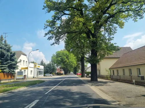
Wiednitz (Sorbian: Wětnica) is a village and former municipality in the district of Bautzen, in Saxony, Germany. With effect from 1 January 2012, it has been incorporated into the town of Bernsdorf.
From the Wikipedia article Wiednitz (this version), under CC BY-SA 4.0.
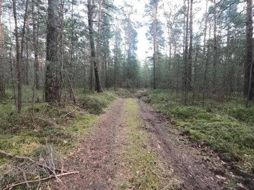
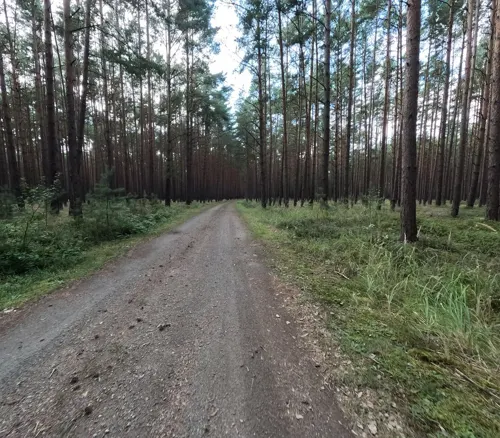
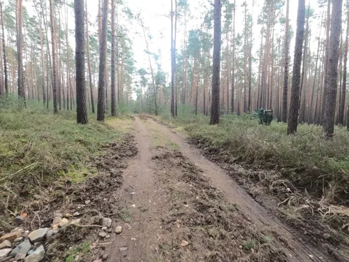
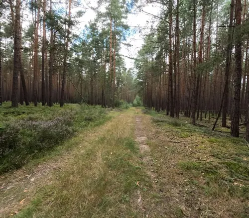
Photos of Wiednitz


Things to do1

Museums and landmarks24



Sühnekreuz
Monument and historic site · 2.7 km
In Grünewald, östlich der L 58 in einer kleinen Anlage, zirka 10 m hinter einer historischen Wegsäule.
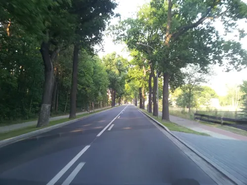


12 more on the map.
Parks, trails and playgrounds4



Restaurants and cafes9
Bäckerei Ermer
Bakery · 2.8 km
4 Am Schmelzteich, Bernsdorf
Mo-Fr 06:15-18:00; Sa 06:15-12:00; Su 07:00-10:00
Zum Waldhof
Restaurant · International · 3.0 km
88 Dresdener Straße, Bernsdorf
Tu-Fr 17:00-21:00; Sa 11:00-23:00; Su,PH 11:00-20:00
Dreißig
Bakery · 3.3 km
8 Am Ankerglasplatz, Bernsdorf
Mo-Sa 05:30-20:00; Su 06:00-10:00
Nem Viet
Fast food · Sushi, Vietnamese · 3.3 km
Mo-Sa 10:00-15:00,16:00-20:00; PH closed


Where to stay2
Churches and places of worship2
Shopping4
Schools, colleges and libraries3
Healthcare2
Map of Wiednitz
51 places. The map loads OpenStreetMap tiles when you open it.
Getting there and nearby towns
Dresden Airport (DRS) is the nearest airport with scheduled flights listed in OpenStreetMap, 33 km away.
- Kamenz 14 km south, about 14 min by car
- Wittichenau 15 km east, about 15 min by car
- Hoyerswerda 16 km east, about 16 min by car
- Senftenberg 16 km north, about 16 min by car
- Schwarzheide 16 km northwest, about 16 min by car
- Schipkau 17 km northwest, about 17 min by car
- Lauchhammer 21 km northwest, about 21 min by car
- Großräschen 22 km north, about 22 min by car
- Ottendorf-Okrilla 26 km southwest, about 26 min by car
- Radeberg 32 km south, about 32 min by car
Drive times are estimates from straight-line distance, not routes.
Towns near Wiednitz


Keep exploring
Local news
Headlines from INDB.
Reviews, tips and questions
Loading what members have shared...
Sources and licences
- GeoNames (CC BY 4.0): population, coordinates, regions and time zone
- Mapillary (see each image): photos
- OpenStreetMap contributors (ODbL 1.0): places, airports, map data
- Wikidata (CC0 1.0): elevation, founding date, time zone, website
- Wikimedia Commons (see each image): photos
- Wikipedia (CC BY-SA 4.0): overview and history text
Photo credits
- Clp 20080525 Bf Wiednitz, Christian Liebscher ( Platte ), CC BY-SA 3.0
- Wiednitz Denkmal 1. und 2. Weltkrieg lub 2024-04-27 img03, Lukas Beck, CC BY 4.0
- Wiednitz Denkmal 1. und 2. Weltkrieg lub 2024-04-27 img02, Lukas Beck, CC BY 4.0
- Wiednitz Denkmal 1. und 2. Weltkrieg lub 2024-04-27 img01, Lukas Beck, CC BY 4.0
- Wiednitz Wegweiserstein lub 2024-04-27 img01, Lukas Beck, CC BY 4.0
- Wiednitz Wegweiserstein lub 2024-04-27 img02, Lukas Beck, CC BY 4.0
- Wiednitz, Chorkonzert Chorgemeinschaft Wiednitz e.V. am Lüdeckestein 19.06.2022, Auftritt mit Volkschor Hohenbocka e.V., 03, Wilhelm Zimmerling PAR, CC BY-SA 4.0
- Wiednitz, Chorkonzert Chorgemeinschaft Wiednitz e.V. am Lüdeckestein 19.06.2022, Auftritt Volkschor Hohenbocka e.V., 02, Wilhelm Zimmerling PAR, CC BY-SA 4.0
- Wiednitz, Chorkonzert Chorgemeinschaft Wiednitz e.V. am Lüdeckestein 19.06.2022, Klaviersolo, 01, Wilhelm Zimmerling PAR, CC BY-SA 4.0
- Wiednitz, Lindenallee am Großen Teich, Linde am Lüdecke-Stein, Sommer, 01, Wilhelm Zimmerling PAR, CC BY-SA 4.0
- Wiednitz, Lindenallee am Großen Teich, Lüdecke-Stein, Sommer, 01, Wilhelm Zimmerling PAR, CC BY-SA 4.0
- Wiednitz, Chorkonzert Chorgemeinschaft Wiednitz e.V. am Lüdeckestein 19.06.2022, Auftritt mit Volkschor Hohenbocka e.V., 04, Wilhelm Zimmerling PAR, CC BY-SA 4.0
- Wiednitz, Chorkonzert Chorgemeinschaft Wiednitz e.V. am Lüdeckestein 19.06.2022, Auftritt Volkschor Hohenbocka e.V., 01, Wilhelm Zimmerling PAR, CC BY-SA 4.0
- Wiednitz, Chorkonzert Chorgemeinschaft Wiednitz e.V. am Lüdeckestein 19.06.2022, Auftritt mit Volkschor Hohenbocka e.V., 05, Wilhelm Zimmerling PAR, CC BY-SA 4.0
- Wiednitz, Chorkonzert Chorgemeinschaft Wiednitz e.V. am Lüdeckestein 19.06.2022, Auftritt mit Volkschor Hohenbocka e.V., 01, Wilhelm Zimmerling PAR, CC BY-SA 4.0
- Wiednitz, Chorkonzert Chorgemeinschaft Wiednitz e.V. am Lüdeckestein 19.06.2022, Auftrittsprogramm, Wilhelm Zimmerling PAR, CC BY-SA 4.0
- Wiednitz, Lindenallee am Großen Teich, Linde am Lüdecke-Stein, Sommer, 02, Wilhelm Zimmerling PAR, CC BY-SA 4.0
- Wiednitz, Lindenallee am Großen Teich, Linde und Lüdecke-Stein, Sommer, 01, Wilhelm Zimmerling PAR, CC BY-SA 4.0
- Wiednitz, Chorkonzert Chorgemeinschaft Wiednitz e.V. am Lüdeckestein 19.06.2022, Chor-Auftritt, 01, Wilhelm Zimmerling PAR, CC BY-SA 4.0
- Wiednitz, Chorkonzert Chorgemeinschaft Wiednitz e.V. am Lüdeckestein 19.06.2022, Auftritt mit Volkschor Hohenbocka e.V., 02, Wilhelm Zimmerling PAR, CC BY-SA 4.0
- Bernsdorf Wiednitz Aerial Pan, Gunther Tschuch, CC BY-SA 4.0
- Bernsdorf Wiednitz Aerial, Gunther Tschuch, CC BY-SA 4.0
- Grenzstein 137 KS KP 1, Oberlausitzerin64, CC BY-SA 4.0
- Grenzstein 136 KS KP 1, Oberlausitzerin64, CC BY-SA 4.0
- Grenzstein 135 KS KP 1, Oberlausitzerin64, CC BY-SA 4.0
- Johanneskirche Bernsdorf, SeptemberWoman, CC BY-SA 3.0
- Glockenturm sella märz2017 (1), Z thomas, CC BY-SA 4.0
- Grenzstein 135 KS KP, Pirolina, CC BY-SA 3.0
- Grenzstein 136 KS KP, Pirolina, CC BY-SA 3.0
- Grenzstein 137 KS KP, Pirolina, CC BY-SA 3.0
- Grünewald Steinkreuz, Radler59, CC BY-SA 3.0
- Lugteich bei Gruengraebchen 1, Staubi59, CC BY-SA 4.0
- Johanneskirche Bernsdorf Mai 2017 (3), Frank Lehmann, CC BY-SA 4.0
- Katholische Kirche Bernsdorf, SeptemberWoman, CC BY-SA 3.0
- Dream Of Freedom, Eric Zech, CC BY 3.0
- Stieleich Sella 2020-05-22 9, Z thomas, CC BY-SA 4.0
- Stieleich Sella 2020-05-22, Z thomas, CC BY-SA 4.0
- Wohnhaus Heide (Bernsdorf) 01, Derbrauni, CC BY 4.0
- Wohnhaus Heide (Bernsdorf) 02, Derbrauni, CC BY 4.0
- Bernsdorf Aerial Pan alt, PaulT (Gunther Tschuch), CC BY-SA 4.0
- Street-level photo, Suricata, CC BY-SA 4.0
- Street-level photo, Suricata, CC BY-SA 4.0
- Street-level photo, bejotel, CC BY-SA 4.0
- Street-level photo, dsmm, CC BY-SA 4.0
- Street-level photo, yiro, CC BY-SA 4.0
- Street-level photo, vorwaertsimmer, CC BY-SA 4.0
- Street-level photo, sp8962de, CC BY-SA 4.0
- Street-level photo, Suricata, CC BY-SA 4.0
- Street-level photo, Suricata, CC BY-SA 4.0
- Street-level photo, sp8962de, CC BY-SA 4.0
- Street-level photo, sp8962de, CC BY-SA 4.0
- Street-level photo, moenk, CC BY-SA 4.0
- Street-level photo, dsmm, CC BY-SA 4.0
- Street-level photo, Suricata, CC BY-SA 4.0
- Street-level photo, yiro, CC BY-SA 4.0
- Street-level photo, sp8962de, CC BY-SA 4.0
- Street-level photo, Suricata, CC BY-SA 4.0
- Street-level photo, Suricata, CC BY-SA 4.0
- Street-level photo, Suricata, CC BY-SA 4.0
- Street-level photo, Suricata, CC BY-SA 4.0
- Street-level photo, yiro, CC BY-SA 4.0
- Street-level photo, moenk, CC BY-SA 4.0
- Street-level photo, sp8962de, CC BY-SA 4.0
- Street-level photo, Suricata, CC BY-SA 4.0
- Street-level photo, Suricata, CC BY-SA 4.0
- Street-level photo, moenk, CC BY-SA 4.0
- Street-level photo, ogniretzlab, CC BY-SA 4.0


Page built November 9, 2026. Spotted a mistake? Tell us or suggest a place.