


Why visit Wriezen
Townapedia lists 26 museums and landmarks, 4 parks and trails, 15 places to eat, 7 places to stay and 9 attractions in and around town.
Highlights include Oderbruch Museum, Schloss Altranft and Schlosspark.
Weather in Wriezen
Forecast from MET Norway (CC BY 4.0). Full forecast
About Wriezen
Wriezen (German pronunciation: [ˈvʁiːtsn̩] ) is a town in the district Märkisch-Oderland, in Brandenburg, in north-eastern Germany, near the border with Poland. It is situated 11 km (7 mi) southeast of Bad Freienwalde.
From the Wikipedia article Wriezen (this version), under CC BY-SA 4.0.
Photos of Wriezen


Things to do9



Museums and landmarks26

Oderbruch Museum
Museum · 6.3 km
27 Am Anger, Bad Freienwalde OT Altranft
Mar 07-Dec 13 Th-Su 11:00-17:00; Mar 03-Dec 13 PH 11:00-17:00
Schloss Altranft
Monument and historic site · 6.3 km
27 Am Anger, Bad Freienwalde (Oder)
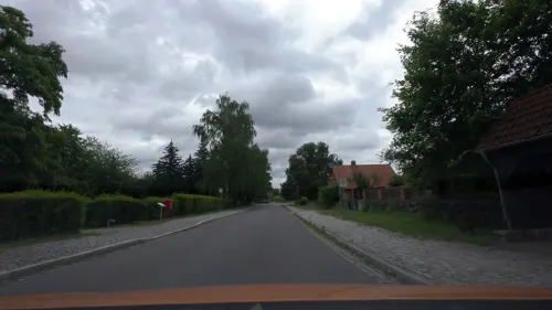

Erbbegräbnis der Familie von Lestwitz-Itzenplitz
Monument and historic site · 5.1 km
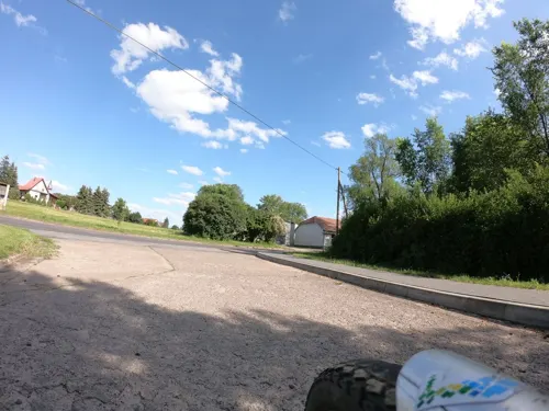


Wasserturm Bahnbetriebswerk
Monument and historic site · 1.3 km
Wasserturm des ehem. Bahnbetriebswerkes Wriezen


14 more on the map.
Parks, trails and playgrounds4



Restaurants and cafes15
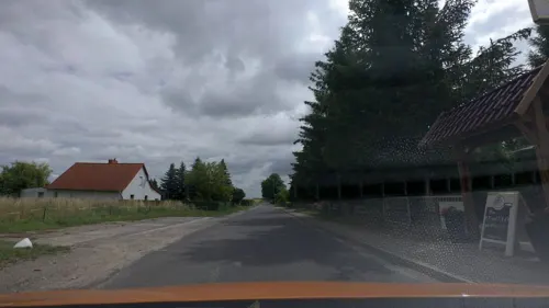
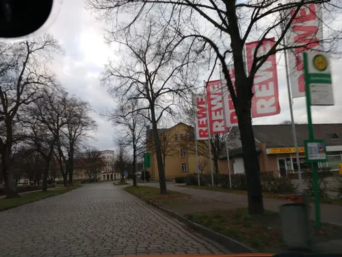
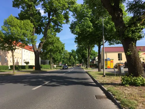
Wriezener Backstube
Bakery
7 Freienwalder Straße, Wriezen
Mo-Fr 06:30-18:00; Sa 06:30-12:00; Su 13:00-17:00
Hafengrill
Restaurant · 0.6 km
1 Am Hafen, Wriezen
Jan-Apr off; May-Sep Sa-Su 10:00-19:00
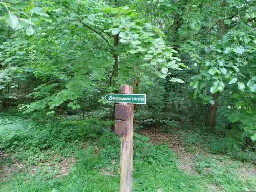
Waldschenke am Baasee
Restaurant · German, Regional · 7.5 km
Sonneburg, Bad Freienwalde

Cafeteria Oderbruch Museum
Cafe · 6.3 km
27 Am Anger, Bad Freienwalde OT Altranft
Mar 07-Dec 13 Th-Su 11:00-17:00; Mar 03-Dec 13 PH 11:00-17:00

Hanay Grill
Restaurant · Turkish
22 Markt, Wriezen
Mo-Th 10:00-22:00; Fr 09:00-22:00; Sa-Su 11:00-22:00
Ristorante Juani
Restaurant · Italian · 1.3 km
17b Mahlerstraße, Wriezen
Mo off; Tu-Fr 11:00-14:30,17:00-21:00; Sa-Su 11:00-22:00

Landgsthof Bliesdorf
Restaurant · 3.6 km
2 Am Anger, Bliesdorf
3 more on the map.
History
From 1373 to 1411, it was part of the Bohemian (Czech) Crown under the House of Luxembourg. In 1375, the town's privileges were confirmed on the condition, that the Bohemian Kings could build a fortress in the town without any obstacles.
From 1701, Wriezen was part of the Kingdom of Prussia, within which from 1815 it was administratively located in the Province of Brandenburg, from 1871 it was also part of the German Empire. In the final weeks of World War II, on 19 April 1945, the town was captured by Allied Soviet and Polish forces. From 1947 to 1952 of the State of Brandenburg, from 1952 to 1990 of the Bezirk Frankfurt of East Germany and since 1990 again of Brandenburg.
From the History section of Wriezen on Wikipedia, under CC BY-SA 4.0.
Notable people from Wriezen
 Martin SauerGerman rowerPhoto: Olaf Kosinsky, CC BY-SA 3.0 de
 Sebastian ScheelGerman politicianPhoto: Martin Kraft, CC BY-SA 3.0
 Norbert MüllerGerman politicianPhoto: DIE LINKE Brandenburg, CC BY 2.0
 Kristy AugustinGerman politicianPhoto: Ralf Roletschek, GFDL 1.2
- Cornelia FroboessGerman actress and schlager singer (born 1943)
- Otto HoffmannGerman jurist
- Robert HerlthGerman art director (1893-1962)
- Erika Stürmer-AlexGerman painter and sculptor
- Herman SchnetzkyGerman-American architect known works in Milwaukee, Wisconsin
- Willi KimmritzGerman serial killer and rapist (1912-1950)
- Kurt HerlthGerman art director (1896-1966)
- Samuel BleichröderGerman Jewish financier (1779-1855)
Born in Wriezen, according to Wikidata (CC0). Each name links to its Wikipedia article.
Where to stay7
Churches and places of worship14
Dorfkirche Kunersdorf
Church · Protestant · 5.2 km
1 Dorfstraße, Bliesdorf
St.-Laurentius-Kirche
Church · Roman Catholic
40 Freienwalder Straße, Wriezen
Dom des Oderbruchs
Church · Protestant · 7.6 km
1 Neuküstrinchen, Oderaue
Dorfkirche Altreetz
Church · Protestant · 5.3 km
5 Am Dorfplatz, Oderaue
Dorfkirche Haselberg
Church · Protestant · 6.9 km
2 Alter Biesdorfer Weg, Wriezen
Dorfkirche Möglin
Church · Protestant · 6.6 km
2 Rosenwinkel, Reichenow-Möglin
Dorfkirche Schulzendorf
Church · Protestant · 4.4 km
14 Dorfstraße, Wriezen
Shopping8
Gas and EV charging2
Schools, colleges and libraries4
Healthcare3
Map of Wriezen
92 places. The map loads OpenStreetMap tiles when you open it.
Getting there and nearby towns
Berlin Brandenburg Airport "Willy Brandt" (BER) is the nearest airport with scheduled flights listed in OpenStreetMap, 58 km away.
- Strausberg 23 km southwest, about 23 min by car
- Eberswalde 25 km northwest, about 25 min by car
- Angermünde 34 km north, about 34 min by car
- Bernau bei Berlin 37 km west, about 37 min by car
- Schwedt (Oder) 39 km north, about 39 min by car
- Woltersdorf 39 km southwest, about 39 min by car
- Fürstenwalde 40 km south, about 40 min by car
- Erkner 42 km southwest, about 42 min by car
- Wandlitz 46 km west, about 46 min by car
- Berlin 54 km southwest, about 54 min by car
Drive times are estimates from straight-line distance, not routes.
Towns near Wriezen


Keep exploring
Local news
Headlines from INDB.
Reviews, tips and questions
Loading what members have shared...
Sources and licences
- GeoNames (CC BY 4.0): population, coordinates, regions and time zone
- Mapillary (see each image): photos
- OpenStreetMap contributors (ODbL 1.0): places, airports, map data
- Wikidata (CC0 1.0): elevation, founding date, time zone, website
- Wikimedia Commons (see each image): photos
- Wikipedia (CC BY-SA 4.0): overview and history text
Photo credits
- Wriezen Rathaus Taubstummenanstalt, Oberlausitzerin64, CC BY-SA 4.0
- Magazinstraße 1 Wriezen, Clemensfranz, CC BY-SA 3.0
- Gartenstraße 20 Gedenktafel Synagoge Wriezen, Clemensfranz, CC BY-SA 3.0
- Sonnenburger Weg Friedhof Wriezen, Clemensfranz, CC BY-SA 3.0
- Altkietz Denkmal Wriezen, Clemensfranz, CC BY-SA 3.0
- Altkietz Straße Wriezen, Clemensfranz, CC BY-SA 3.0
- Altkietz 16 Wriezen, Clemensfranz, CC BY-SA 3.0
- Katholische Kirche Wriezen Chor, Clemensfranz, CC BY-SA 3.0
- Katholische Kirche Wriezen Portal, Clemensfranz, CC BY-SA 3.0
- Sonnenburger Weg 3 Krankenhaus Wriezen, Clemensfranz, CC BY-SA 3.0
- Hochwassermarke Wriezen Bahnhof, Clemensfranz, CC BY-SA 3.0
- Bahnhof Wriezen, Clemensfranz, CC BY-SA 3.0
- Clp 20150706 4981 Bf Wriezen Wasserturm, Christian Liebscher, CC BY-SA 4.0
- Clp 20150706 4977 Bf Wriezen EG, Christian Liebscher, CC BY-SA 4.0
- Bahnhof Wriezen 2021 02, Clemensfranz, CC BY-SA 4.0
- Wasserturm Bahnhof Wriezen 02, Clemensfranz, CC BY-SA 4.0
- Bahnhof Wriezen 2021 01, Clemensfranz, CC BY-SA 4.0
- Clp 20150706 4992 Bf Wriezen Bstg 2, Christian Liebscher, CC BY-SA 4.0
- Wriezen - Bahnhof (12), IngolfBLN, CC BY-SA 2.0
- Wriezen - Bahnhof (19), IngolfBLN, CC BY-SA 2.0
- Wriezen - Bahnhof (20), IngolfBLN, CC BY-SA 2.0
- Wriezen - Bahnhof (7), IngolfBLN, CC BY-SA 2.0
- Wriezen - Bahnhof (17), IngolfBLN, CC BY-SA 2.0
- Wriezen - Bahnhof (30), IngolfBLN, CC BY-SA 2.0
- Wriezen - Bahnhof (23), IngolfBLN, CC BY-SA 2.0
- Wriezen - Bahnhof (27), IngolfBLN, CC BY-SA 2.0
- Wriezen - Bahnhof (10), IngolfBLN, CC BY-SA 2.0
- Wriezen - Bahnhof (13), IngolfBLN, CC BY-SA 2.0
- Wriezen - Bahnhof (8), IngolfBLN, CC BY-SA 2.0
- Wriezen - Bahnhof (6), IngolfBLN, CC BY-SA 2.0
- Wriezen - Bahnhof (4), IngolfBLN, CC BY-SA 2.0
- Wriezen - Bahnhof (2), IngolfBLN, CC BY-SA 2.0
- Flickr - IngolfBLN - Wriezen - Bahnhof, IngolfBLN, CC BY-SA 2.0
- Wriezen - Bahnhof (16), IngolfBLN, CC BY-SA 2.0
- Wriezen - Bahnhof (15), IngolfBLN, CC BY-SA 2.0
- Wriezen - Bahnhof (21), IngolfBLN, CC BY-SA 2.0
- Wriezen - Bahnhof (5), IngolfBLN, CC BY-SA 2.0
- Wriezen - Bahnhof (22), IngolfBLN, CC BY-SA 2.0
- Kirche Altranft, Clemensfranz, CC BY-SA 3.0
- Bliesdorf church, Doris Antony , Berlin, CC BY-SA 3.0
- Grabkolonade Kunersdorf Bliesdorf, Clemensfranz, CC BY-SA 3.0
- Wriezen church, Doris Antony , Berlin, CC BY-SA 3.0
- Herrenhaus Altranft, Oderbruchmuseum, CC BY-SA 4.0
- Katholische Kirche Wriezen 2016 S, Hans G. Oberlack, CC BY-SA 4.0
- Dorfkirche Kunersdorf Bliesdorf, Clemensfranz, CC BY-SA 3.0
- Kunersdorf 2018 073, Sebastian Wallroth, CC BY 4.0
- Kirche Altreetz, J.Rzadkowski, CC BY-SA 3.0
- Haselberg church, Doris Antony , Berlin, CC BY-SA 3.0
- Biesdorf Dorfkirche Wriezen, Clemensfranz, CC BY-SA 3.0
- Moeglin church, Doris Antony , Berlin, CC BY-SA 4.0
- Schulzendorf Dorfkirche Wriezen, Clemensfranz, CC BY-SA 3.0
- Stolperstein für Bruno Moses (Wriezen), Christian Michelides, CC BY-SA 4.0
- Stolperstein für Max Goldberg (Wriezen), Christian Michelides, CC BY-SA 4.0
- Wriezen Bahnbetriebswerk Wasserturm, Oberlausitzerin64, CC BY-SA 4.0
- Bahnstrecken Oderbruchbahn, Hbf878, CC BY-SA 4.0
- Dorfkirche Neuküstrinchen 2018 SW, Hans G. Oberlack, CC BY-SA 4.0
- Street-level photo, moenk, CC BY-SA 4.0
- Street-level photo, moenk, CC BY-SA 4.0
- Street-level photo, masterofnoroad, CC BY-SA 4.0
- Street-level photo, moenk, CC BY-SA 4.0
- Street-level photo, moenk, CC BY-SA 4.0
- Street-level photo, moenk, CC BY-SA 4.0
- Street-level photo, carlheinz, CC BY-SA 4.0
- Street-level photo, carlheinz, CC BY-SA 4.0
- Street-level photo, carlheinz, CC BY-SA 4.0
- Street-level photo, moenk, CC BY-SA 4.0
- Street-level photo, moenk, CC BY-SA 4.0
- Street-level photo, ber319, CC BY-SA 4.0
- Street-level photo, masterofnoroad, CC BY-SA 4.0
- Street-level photo, carlheinz, CC BY-SA 4.0
- Street-level photo, moenk, CC BY-SA 4.0
- Street-level photo, carlheinz, CC BY-SA 4.0
- Street-level photo, masterofnoroad, CC BY-SA 4.0


Page built November 9, 2026. Spotted a mistake? Tell us or suggest a place.