


Anna Valley, United Kingdom
Anna Valley is a town of 2,893 people in England, United Kingdom.
Why visit Anna Valley
Townapedia lists 5 museums and landmarks, 12 parks and trails, 47 places to eat, 4 places to stay and 3 attractions in and around town.
Highlights include Odeon, Andover Museum, Bury Hill Fort and Hawk Conservancy Trust.
Weather in Anna Valley
Forecast from MET Norway (CC BY 4.0). Full forecast
About Anna Valley
Anna Valley is part of the village and parish of Upper Clatford, Hampshire, United Kingdom. The settlement is located approximately 1.0 mile (1.6 km) south-west of the market town of Andover.
From the Wikipedia article Anna Valley (this version), under CC BY-SA 4.0.
Things to do3
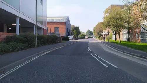

Museums and landmarks5
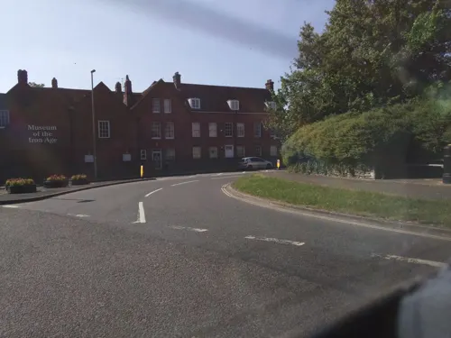

Parks, trails and playgrounds12

Hawk Conservancy Trust
Park · 2.6 mi
Bird park and conservation charity in Weyhill, Hampshire, England




Restaurants and cafes47

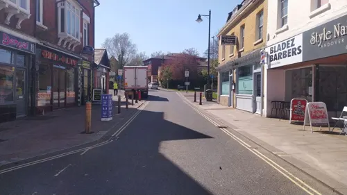
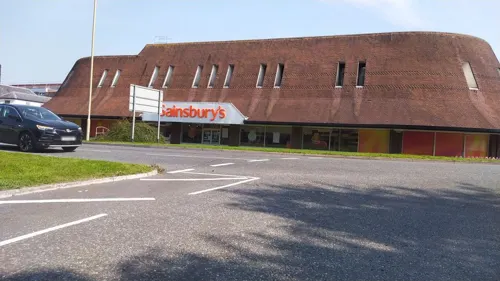
The Station Inn
Bar and pub · 1.4 mi
63 Bridge Street, Andover
Mo-Th 11:30-23:00, Fr-Sa 11:30-01:00, Su 12:00-23:00

Bruno's Coffee Shop
Cafe · Coffee Shop · 1.0 mi
Colebrook Way, Andover
Mo-Fr 09:00-15:00, Sa 09:00-12:00

35 more on the map.
Where to stay4
Churches and places of worship13
Shopping10
Gas and EV charging2
Schools, colleges and libraries12
Healthcare4
Map of Anna Valley
112 places. The map loads OpenStreetMap tiles when you open it.
Getting there and nearby towns
Upavon Airfield (UPV) is the nearest airport with scheduled flights listed in OpenStreetMap, 14 miles away.
- Abbotts Ann 1 mi west, about 2 min by car
- Andover 1 mi northeast, about 2 min by car
- Tidworth 7 mi west, about 12 min by car
- Overton 11 mi east, about 18 min by car
- Winchester 12 mi southeast, about 19 min by car
- Amesbury 12 mi west, about 19 min by car
- Highcoems 12 mi northeast, about 19 min by car
- Netheravon 13 mi west, about 20 min by car
- Romsey 14 mi south, about 23 min by car
- Salisbury 15 mi southwest, about 24 min by car
Drive times are estimates from straight-line distance, not routes.
Towns near Anna Valley


Keep exploring
Local news
Headlines from INDB.
Reviews, tips and questions
Loading what members have shared...
Sources and licences
- GeoNames (CC BY 4.0): population, coordinates, regions and time zone
- Mapillary (see each image): photos
- OpenStreetMap contributors (ODbL 1.0): places, airports, map data
- Wikidata (CC0 1.0): elevation, founding date, time zone, website, landmarks and historic places
- Wikimedia Commons (see each image): photos
- Wikipedia (CC BY-SA 4.0): overview and history text
Photo credits
- St Mary's Church, Abbots Ann, Lee Hargreaves, CC BY-SA 2.0
- St Peter's Church, Goodworth Clatford, Hampshire, Smb1001, CC BY-SA 4.0
- Star And Garter Hotel, Peter Glyn, CC0
- Poplar Farm Inn, Salisbury Road, Little Ann, near Andover (NHLE Code 1093074) (July 2022) (2), Hassocks5489, CC0
- Strix uralensis -Hawk Conservancy Trust, near Andover, Hampshire, England-8a, Dave Townsend from Burlingame, USA, CC BY-SA 2.0
- Street-level photo, southglos, CC BY-SA 4.0
- Street-level photo, noid, CC BY-SA 4.0
- Street-level photo, noid, CC BY-SA 4.0
- Street-level photo, southglos, CC BY-SA 4.0
- Street-level photo, noid, CC BY-SA 4.0
- Street-level photo, noid, CC BY-SA 4.0
- Street-level photo, noid, CC BY-SA 4.0
- Street-level photo, southglos, CC BY-SA 4.0
- Street-level photo, southglos, CC BY-SA 4.0
- Street-level photo, southglos, CC BY-SA 4.0
- Street-level photo, southglos, CC BY-SA 4.0
- Street-level photo, noid, CC BY-SA 4.0
- Street-level photo, southglos, CC BY-SA 4.0
- Street-level photo, noid, CC BY-SA 4.0
- Street-level photo, southglos, CC BY-SA 4.0
- Street-level photo, noid, CC BY-SA 4.0
Page built November 10, 2026. Spotted a mistake? Tell us or suggest a place.