


Amesbury, United Kingdom
Amesbury is a town of 10,116 people in England, United Kingdom.
Why visit Amesbury
Townapedia lists 32 museums and landmarks, 7 parks and trails, 36 places to eat, 8 places to stay and 1 attraction in and around town.
Highlights include Blick Mead and Bluestonehenge.
Weather in Amesbury
Forecast from MET Norway (CC BY 4.0). Full forecast
About Amesbury
Amesbury () is a town and civil parish in Wiltshire, England. It is known for the prehistoric monument of Stonehenge which is within the parish. The town is claimed to be the oldest occupied settlement in Great Britain, having been first settled around 8820 BC. The parish includes the hamlets of Ratfyn and West Amesbury, and part of Boscombe Down military airfield.
From the Wikipedia article Amesbury (this version), under CC BY-SA 4.0.
Travel tips from other travellers: Amesbury on Wikivoyage (CC BY-SA 4.0).
Photos of Amesbury

Things to do1

Museums and landmarks32
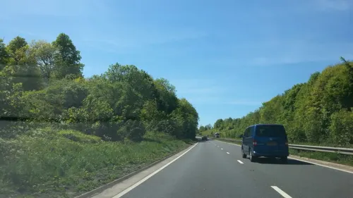
Blick Mead
Monument and historic site
Spring & mesolithic site in England near Stonehenge

Bluestonehenge
Monument and historic site · 0.8 mi
Neolithic henge monument

Durrington Walls
Monument and historic site · 1.2 mi
The site of a large Neolithic settlement, village; also it enclosed several hedges;

Woodhenge
Monument and historic site · 1.0 mi
Neolithic henge and timber circle monument near Stonehenge

Altar Stone
Monument and historic site · 2.0 mi
Recumbent central megalith at Stonehenge in England

Cursus Barrows
Monument and historic site · 2.5 mi
Barrow cemetery in England

Heelstone Ditch
Monument and historic site · 2.3 mi
Circular feature surrounding the Heel Stone at Stonehenge

Barrow Clump
Monument and historic site · 3.3 mi
Archaeological site in Wiltshire
Coneybury Anomaly
Monument and historic site · 1.2 mi
Cross-cultural feasting site in Wiltshire, England
Normanton Down Barrows
Monument and historic site · 1.9 mi
Barrows in England

20 more on the map.
Parks, trails and playgrounds7


Restaurants and cafes36
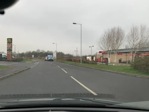
Pizza Hut
Restaurant · Pizza · 1.0 mi
Mid Summer Place, Amesbury
Mo-Th,Su 11:30-21:00; Fr-Sa 11:30-23:00
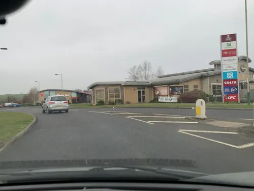
The Amesbury Archer
Diner · American · 1.0 mi
Mid Summer Place, Amesbury
Mo-Sa 08:00-23:00; Su 08:00-22:30
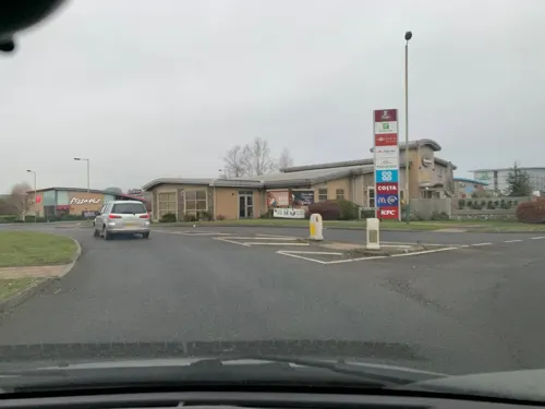
Stonehenge Inn
Bar and pub · 1.4 mi
The Stonehenge Inn is the closest Inn to the World Heritage site of the prehistoric Stonehenge monument. A versatile venue, with...
2 Stonehenge Road, Durrington



24 more on the map.
History
The land around Amesbury has been settled since prehistoric times, evidenced by the monument of Stonehenge. In 2014, archaeologists from the University of Buckingham found Amesbury had been continually occupied since 8,820 BC, causing The Guardian to write that Amesbury was "in effect where British history began".
Other finds in the parish point to large-scale prehistoric structures and settlements in the area, including Bluestonehenge at West Amesbury, the numerous other monuments around Stonehenge, and the discovery of a Neolithic village in the neighbouring parish of Durrington by the Stonehenge Riverside Project. Excavations in 2002 and 2003 at Boscombe Down by Wessex Archaeology found the Amesbury Archer and Boscombe Bowmen.
During the Iron Age, a large hill fort now known as Vespasian's Camp was built alongside the Stonehenge Avenue and overlooking the River Avon. The fort could have catered for up to 1,000 people, and was probably surrounded by smaller settlements and farming communities.
Roman remains are poorly documented at Amesbury, but excavations have revealed Roman structures in the Stonehenge landscape, and Wessex Archaeology found a large Roman graveyard in the area of the Amesbury Archer burial. It is likely that there was a large Romano-British settlement overlooking the River Avon at this point.
Read more of the history
It is possible that an order of monks established a monastery in the area, that was destroyed by the Saxons before they settled the area in the 7th century.
King Alfred the Great left Amesbury in his will, a copy of which is in the British Library, to his youngest son Aethelweard (c. 880–922). In 1086, Domesday Book recorded a settlement named Amblesberie or Ambresberie with 111 households and eight mills. The largest estate was held by Wilton Abbey, and other land was held by Edward of Salisbury.
In 979 AD, a Benedictine abbey, the Abbey of St Mary and St Melor, was founded on what may have been the site of a previous monastery, by Dowager Queen Ælfthryth. In 1177 the abbey was dissolved by Henry II and replaced with Amesbury Priory, with nuns and monks of the Fontevraud order. Henry III visited the priory several times, and his widow Eleanor of Provence retired there in 1286, leading to visits by her son, Edward I; his daughter Mary of Woodstock and niece Eleanor of Brittany had already entered the convent when young. The priory continued until the dissolution of the monasteries in 1540, after which its buildings – including the church with its lead-covered spire – were demolished.
Amesbury is also associated with the Arthurian legend: the convent to which Guinevere retired was said to have been the one at Amesbury. This legend has its origins in the world of Middle English Arthurian romance: the Stanzaic Morte Arthur (c. 1350–1400) is the earliest text to claim that Guinevere retired to Amesbury, rather than to Caerleon, as had previously been claimed by the historian Geoffrey of Monmouth. The claim was repeated in Sir Thomas Malory's Le Morte d'Arthur. In 1542, the antiquarian John Leland took things further, stating that Guinevere had actually been buried at Amesbury before being disinterred and translated to Glastonbury Abbey to lie beside her husband, King Arthur. The tradition of Guinevere's Amesbury burial came to a head in the early 1600s, when an ancient noblewoman's grave was discovered during renovation work at the old Abbey site, then in the hands of the Earls of Hertford. Inigo Jones, the lead architect, was convinced that the grave was Guinevere's, and in the decades after the discovery visitors flocked to Amesbury to see the grave for themselves, where a plaque had apparently been erected to mark the location.
On John Speed's map of Wiltshire (1611), the town's name is spelt both Amesbury (for the hundred) and Ambersbury (for the town itself).
After the dissolution, Amesbury became a secular estate and was given to Edward Seymour, 1st Earl of Hertford by the Crown; the Seymour family held the estate until 1675. A new mansion which took the name Amesbury Abbey was completed in 1661, designed for William Seymour, 2nd Duke of Somerset (d. 1660) by John Webb in neo-classical style.
The estate subsequently passed to the Bruce family, and then to Lord Carleton, who bequeathed it to his nephew Charles Douglas, 3rd Duke of Queensberry. The grounds feature a Chinese summerhouse commissioned by the Duke from Sir William Chambers. The estate remained in the Queensberry family until 1824. It is believed that at some point in the early 19th century, William Douglas, 4th Duke of Queensberry planted the Nile Clumps to commemorate Admiral Nelson, and had the hillfort landscaped as part of the grounds around the mansion.
In 1824, Sir Edmund Antrobus acquired the estate and, finding the mansion in poor repair, had it rebuilt in 1834–1840 to designs of Thomas Hopper. In 1915, Lord Antrobus sold the grounds – including Stonehenge – to private bidders, although the mansion remained in Antrobus family hands until 1979. The house is now operated as a nursing home.
In 1677, John Rose, gentleman, founded two schools at Amesbury, a grammar school for teaching grammar, writing, and ciphering to twenty children born in the parish, and an "English school" to prepare twenty children of poor parents for the grammar school. By a decree in Chancery of 1831, the freedom of the grammar school was extended to children of "mechanics, artisans, and small tradesmen". The grammar school was closed in 1899, and the children were transferred to a National School.
From the History section of Amesbury on Wikipedia, under CC BY-SA 4.0.
More about Amesbury
Geography
Amesbury is located in southern Wiltshire, 7 miles (11 km) north-northeast of Salisbury on the A345. It sits in the River Avon valley on the southern fringes of Salisbury Plain and has historically been considered an important river crossing area on the road from London to Warminster and Exeter. This has continued into the present with the building of the A303 road across the Avon next to the town. Originally the town developed around the water meadows next to several bends in the river, but in time has spread onto the valley hillsides and absorbed part of the military airfield at Boscombe Down.
Education
Amesbury has a secondary school – The Stonehenge School – and four primary schools:
Amesbury Church of England Voluntary Controlled Primary School
From the Wikipedia article Amesbury, under CC BY-SA 4.0.
Notable people from Amesbury
 Fidelis MorganBritish actress and writerPhoto: Edwardx, CC BY-SA 4.0
 Steven WhyteBritish sculptorPhoto: Flickmyvic, CC BY-SA 4.0
 William CarpenterAmerican colonistPhoto: Frédéric Vincent, CC BY-SA 2.0
- Ela of Salisbury, 3rd Countess of SalisburyEnglish heiress and suo jure Countess of Salisbury
- Eric P. KellyAmerican children's writer and English professor
- Adrian RandallEnglish footballer (born 1968)
- Isabel de Verdun, Lady Ferrers of GrobyEnglish noble
- Charles KendleEnglish cricketer (1875-1954)
- Ephraim MorseAmerican businessman
- Eric John HolborowBritish physician and immunologist (1918–2009)
Born in Amesbury, according to Wikidata (CC0). Each name links to its Wikipedia article.
Where to stay8
Churches and places of worship7
Shopping9
Gas and EV charging6
Schools, colleges and libraries8
Amesbury Church of England Voluntary Controlled Primary School
School · Anglican
Kitchener Road, Salisbury
Durrington Church of England Controlled Junior School
School · Anglican · 1.5 mi
Bulford Road, Salisbury
Healthcare1
Map of Amesbury
115 places. The map loads OpenStreetMap tiles when you open it.
Getting there and nearby towns
Upavon Airfield (UPV) is the nearest airport with scheduled flights listed in OpenStreetMap, 8 miles away.
- Tidworth 6 mi northeast, about 10 min by car
- Devizes 15 mi northwest, about 25 min by car
- Warminster 17 mi west, about 28 min by car
- Romsey 18 mi southeast, about 29 min by car
- Westbury 19 mi west, about 30 min by car
- Melksham 21 mi northwest, about 33 min by car
- Calne 21 mi northwest, about 33 min by car
- Verwood 21 mi south, about 34 min by car
- Southampton 25 mi southeast, about 40 min by car
- Swindon 26 mi north, about 43 min by car
Drive times are estimates from straight-line distance, not routes.
Towns near Amesbury


Keep exploring
Local news
Headlines from INDB.
Reviews, tips and questions
Loading what members have shared...
Sources and licences
- GeoNames (CC BY 4.0): population, coordinates, regions and time zone
- Mapillary (see each image): photos
- OpenStreetMap contributors (ODbL 1.0): places, airports, map data
- Wikidata (CC0 1.0): elevation, founding date, time zone, website, landmarks and historic places
- Wikimedia Commons (see each image): photos
- Wikipedia (CC BY-SA 4.0): overview and history text
Photo credits
- The George Hotel, Amesbury - panoramio, Collin West, CC BY 3.0
- Bluestonehenge digital reconstruction - oval configuration, Henry Rothwell, CC BY-SA 3.0
- Western wall of Durrington Walls, Ethan Doyle White, CC BY-SA 4.0
- Woodhenge in the rain - panoramio, Adrian Farwell, CC BY 3.0
- Stonehenge-Altar-Stone P1110732, The Stones of Stonehenge, CC BY 4.0
- Stonehenge tumulus, Velvet, CC BY-SA 3.0
- Heelstone Ditch & Scroll Trench, Lt.-Col. William Hawley, Public domain
- Amesbury Abbey, Matthew Black, CC BY-SA 2.0
- Lord's Walk 4, Mx. Granger, CC0
- Street-level photo, iced, CC BY-SA 4.0
- Street-level photo, xdTAGCLAN, CC BY-SA 4.0
- Street-level photo, iced, CC BY-SA 4.0
- Street-level photo, iced, CC BY-SA 4.0
- Street-level photo, iced, CC BY-SA 4.0
- Street-level photo, iced, CC BY-SA 4.0
- Street-level photo, iced, CC BY-SA 4.0
- Street-level photo, iced, CC BY-SA 4.0
- Street-level photo, adam2, CC BY-SA 4.0
- Street-level photo, endszbrxns, CC BY-SA 4.0
- Street-level photo, mdroads, CC BY-SA 4.0
- Street-level photo, lamaar639, CC BY-SA 4.0
- Street-level photo, endszbrxns, CC BY-SA 4.0
- Street-level photo, filipc, CC BY-SA 4.0
- Street-level photo, iced, CC BY-SA 4.0
- Street-level photo, iced, CC BY-SA 4.0
- Street-level photo, iced, CC BY-SA 4.0

Page built November 10, 2026. Spotted a mistake? Tell us or suggest a place.