


Netheravon, United Kingdom
Netheravon is a town of 1,321 people in England, United Kingdom.
Why visit Netheravon
Townapedia lists 10 museums and landmarks and 2 places to eat in and around town.
Highlights include Durrington Walls and Woodhenge.
Weather in Netheravon
Forecast from MET Norway (CC BY 4.0). Full forecast
About Netheravon
Netheravon is a village and civil parish on the River Avon and A345 road, about 4 miles (6.4 km) north of the town of Amesbury in Wiltshire, South West England. It is within Salisbury Plain.
From the Wikipedia article Netheravon (this version), under CC BY-SA 4.0.
Museums and landmarks10

Durrington Walls
Monument and historic site · 3.0 mi
The site of a large Neolithic settlement, village; also it enclosed several hedges;

Woodhenge
Monument and historic site · 3.2 mi
Neolithic henge and timber circle monument near Stonehenge

Barrow Clump
Monument and historic site · 1.6 mi
Archaeological site in Wiltshire
Chisenbury Camp
Monument and historic site · 3.3 mi
Site of an Iron Age univallate hillfort located in Wiltshire, England
Robin Hood's Ball
Monument and historic site · 3.2 mi
Archaeological site in Shrewton, Wiltshire, England, UK
Compton monument in churchyard, 4m south of chancel, Church of All Saints
Monument and historic site
Dyke monument in churchyard, 11m north-west of tower, Church of All Saints
Monument and historic site
Restaurants and cafes2
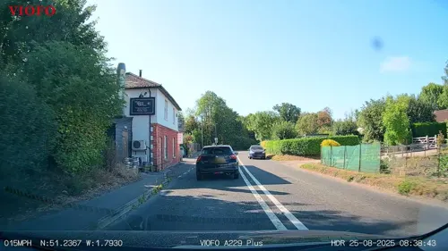

Churches and places of worship5
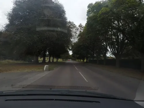
Church of St Alban the Martyr, Larkhill
Church · 2.8 mi
Church in Larkhill, Wiltshire, England, UK

Schools, colleges and libraries3


History
A Roman villa stood near the Avon, on a site now south of Netheravon House. Domesday Book recorded three landholdings with a total of 132 households.
The Dukes of Beaufort had a large sporting estate at Netheravon in the early 18th century, which continued to be managed by their successors, the Hicks Beach family, until the end of the 19th century.
The ancient parish included West Chisenbury, a detached tithing and hamlet to the north. This area was transferred to Enford parish in 1885.
Much land in the area was bought by the War Department in 1898, including Netheravon House and almost the whole of Netheravon Parish, sold by Michael Hicks Beach. Gun ranges were established on the downs after the arrival of the army's machine gun school in 1922.
A one-room school was built on the east side of the High Street c. 1846 and later became a National School. In 1871 49 pupils were recorded, rising to 90 in 1911 and 119 in 1926, in part due to the presence of the Flying Training School. In 1964 the school was amalgamated with that at Fittleton, with infants attending Netheravon and older children going to Fittleton. In the 1980s the school at Fittleton was closed and Netheravon became a primary school, on a new site towards the southern end of the High Street.
Read more of the history
A history by Wiltshire Council added the following specifics: Building work in the 1960s included cottages on the west side of Mill Road being replaced by council houses... A sewerage works had been built in 1952, and a cemetery also opened in that year. After a drop in population in the 1970s the village increased in size again during the 1980s. Social events and activities were held, an historical society formed and in 1991 a new Top Hat Club founded. The Fox and Hounds closed in 1995."
Netheravon House was built after 1734 as a hunting box for Henry Scudamore, Duke of Beaufort, possibly on the site of an earlier manor house.
From the History section of Netheravon on Wikipedia, under CC BY-SA 4.0.
Notable people from Netheravon
- George StuddBritish cricketer and missionary (1859-1945)
- Paul RyanBritish biathlete
- Dick BradleyEnglish speedway rider (1924–2022)
Born in Netheravon, according to Wikidata (CC0). Each name links to its Wikipedia article.
Map of Netheravon
20 places. The map loads OpenStreetMap tiles when you open it.
Getting there and nearby towns
Upavon Airfield (UPV) is the nearest airport with scheduled flights listed in OpenStreetMap, 4 miles away.
- Amesbury 4 mi south, about 7 min by car
- Tidworth 6 mi east, about 9 min by car
- Shrewton 6 mi southwest, about 9 min by car
- Potterne 11 mi northwest, about 18 min by car
- Salisbury 12 mi south, about 19 min by car
- Devizes 12 mi northwest, about 19 min by car
- Andover 13 mi east, about 21 min by car
- Rowde 14 mi northwest, about 22 min by car
- Calne 17 mi northwest, about 27 min by car
- Warminster 17 mi west, about 27 min by car
Drive times are estimates from straight-line distance, not routes.
Towns near Netheravon


Keep exploring
Local news
Headlines from INDB.
Reviews, tips and questions
Loading what members have shared...
Sources and licences
- GeoNames (CC BY 4.0): population, coordinates, regions and time zone
- Mapillary (see each image): photos
- OpenStreetMap contributors (ODbL 1.0): places, airports, map data
- Wikidata (CC0 1.0): elevation, founding date, time zone, website, landmarks and historic places
- Wikimedia Commons (see each image): photos
- Wikipedia (CC BY-SA 4.0): overview and history text
Photo credits
- Netheravon Church May 2017, Stefan Czapski, CC BY-SA 2.0
- Western wall of Durrington Walls, Ethan Doyle White, CC BY-SA 4.0
- Woodhenge in the rain - panoramio, Adrian Farwell, CC BY 3.0
- Street-level photo, lamaar639, CC BY-SA 4.0
- Street-level photo, RyanBush, CC BY-SA 4.0
Page built November 10, 2026. Spotted a mistake? Tell us or suggest a place.