


Why visit Andover
Townapedia lists 10 museums and landmarks, 18 parks and trails, 86 places to eat, 5 places to stay and 2 attractions in and around town.
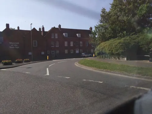
Highlights include Odeon, Andover Museum, Andover Museum of the Iron Age and Hawk Conservancy Trust.
Weather in Andover
Forecast from MET Norway (CC BY 4.0). Full forecast
About Andover
Andover is a town in the Test Valley district of Hampshire, England. The town is on the River Anton, a major tributary of the Test, and lies alongside the major A303 trunk road at the eastern end of Salisbury Plain, 18 miles (29 km) west of the town of Basingstoke. It is 14 miles (23 km) from Winchester, 35 miles (56 km) north of Southampton and 65 miles (105 km) from London.
From the Wikipedia article Andover, Hampshire (this version), under CC BY-SA 4.0.
Travel tips from other travellers: Andover on Wikivoyage (CC BY-SA 4.0).
Things to do2

Museums and landmarks10

Dead Man's Plack
Monument and historic site · 3.0 mi
Monument to Æthelwald, Ealdorman of East Anglia; located in Longparish, Hampshire, England, UK

Parks, trails and playgrounds18

Hawk Conservancy Trust
Park · 2.9 mi
Bird park and conservation charity in Weyhill, Hampshire, England



6 more on the map.
Restaurants and cafes86

The John Russell Fox
Bar and pub · 0.7 mi
10 High Street, Andover
Mo,Tu,We,Th,Su 07:00-24:00; Fr,Sa 07:00-25:00
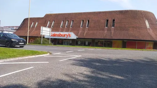
The Station Inn
Bar and pub · 0.6 mi
63 Bridge Street, Andover
Mo-Th 11:30-23:00, Fr-Sa 11:30-01:00, Su 12:00-23:00
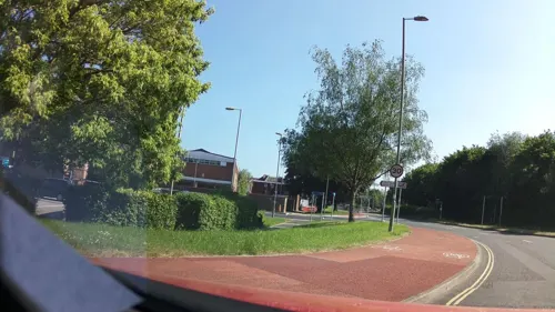
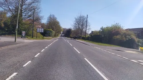
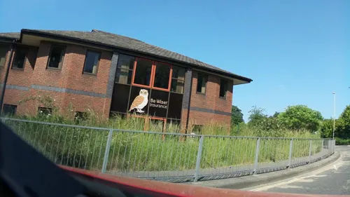


Peaberry Coffee Roasters
Cafe · Coffee Shop · 0.7 mi
66 Caxton Close, Andover
Mo-Fr 08:30-15:30; Sa,Su off
74 more on the map.
History
Andover's name is recorded in Old English in 955 as Andeferas, and is thought to be of Celtic origin: compare Welsh onn dwfr = "ash (tree) water". The first mention in history is in 950 when King Edred is recorded as having built a royal hunting lodge there. In 962 King Edgar called a meeting of the Saxon 'parliament' (the Witenagemot) at his hunting lodge near Andover. Of more importance was the baptism, in 994, of a Viking king named "Anlaf" (allied with the Danish king, Sweyn Forkbeard). The identity of that man was either Olav Tryggvason (king of Norway) or Olof Skötkonung (king of Sweden). The baptism was part of a deal with the English king, Æthelred the Unready, whereby the Viking stopped ravaging England and returned home.
Read more of the history
At the time of the Domesday Book (1086), Andovere had 107 adult male inhabitants and probably had a total population of about 500. It was a relatively large settlement; most villages had only 100 to 150 people. Andover had six watermills which ground grain to flour. The town's relative isolation implies a market for grain and flour. In 1175 Andover bought a royal charter granting certain townspeople rights and forming a merchant guild which took over local governance (see ancient borough); guild members elected two officials (bailiffs) who ran the town. In 1201 King John gave the merchants the right to collect royal taxes in Andover themselves. In 1256 Henry III gave the townspeople the right to hold a court and try criminals for offences committed in Andover. Andover sent MPs to the parliaments of 1295 and 1302–1307. The town was ravaged by two serious fires, in 1141 and 1435. Andover remained a small market town. Processing wool appears to have been the main industry and street names in the area of the town known as "Sheep Fair" commemorate this. A weekly market, and an annual fair were held.
As well as the Church of St Mary, the town had a priory and a hospital run by monks, dedicated to St John the Baptist, and also a lepers hostel to St Mary Magdalene. In 1538 during the Reformation Henry VIII closed the priory and the hospital. In 1571 a free school for the boys of Andover was established in the grounds of St Mary's Church. This in time became Andover Grammar School, and in the 1970s it became John Hanson Community School. The school has occupied various sites in the town over the course of its history and is currently located in Floral Way.
In 1599 the town received a new charter from Elizabeth I. The merchants guild was made a corporation and the number of annual fairs was increased from one to three. Like other towns Andover suffered from outbreaks of plague. There were outbreaks in 1603–1605, 1625–1626 and 1636.
During the 18th century, being on the main Exeter – Salisbury – London road, the place became a refuelling or overnight stop for stagecoaches and other passing trade. More than 30 coaches passed through the town each day. In 1789 a canal to Southampton was opened, though this was never a commercial success and closed in 1859. In 1836 the Borough established a small police force: for the most part two constables and a gaoler.
Andover was linked to Basingstoke and thus to London on its new railway to Salisbury (shortly thereafter to Exeter beyond) when Andover junction station was opened on 3 July 1854. A railway from the 1860s ran to Southampton, built on the bed of the canal, for about 100 years, until 1964. The land, together with the adjacent gasworks and P.M. Coombes woodyards, was then sold to the TSB Trust Company who later built their headquarters there. In 1883, Andover was linked to Swindon and destinations further north with the Swindon, Marlborough and Andover Railway.
The population grew from 3,304 in 1801 to 5,501 in 1871. During the 19th century the town acquired all the usual additions: a theatre in 1803, gas street lighting in 1838, a fire station and cottage hospital in 1877, a swimming pool opened in 1885 and a recreation ground opened in 1887. A water company was formed in 1875 to provide piped water to the town and a system of sewers and drains was built in 1899–1902. The public library opened in 1897. Despite this burgeoning of the amenities of the town, in 1845–1846 a notorious scandal brought to light evidence of beatings, sexual abuse and general mistreatment of workhouse inmates by the overseers. The enquiry and public reaction led indirectly to the Poor Law Act, principally involving segregation of a now-obligatory infirmary for local people from the workhouse for the able-bodied, but also better governance. The town was one of the boroughs reformed by the Municipal Reform Act 1835.
The woollen industry had declined but new industries took its place. Taskers Waterloo Ironworks opened at Anna Valley in 1809 and flourished. Many examples of the machinery produced by Taskers can be seen at the Milestones Museum in Basingstoke. Andover Guildhall, which enjoys a prominent location in the High Street, opened in 1825.
The town's largest employer is the Ministry of Defence. RAF Andover was opened on Andover Airfield, to the south of the town, during the First World War and became the site of the RAF Staff College.
In 1926, the Andover War Memorial Hospital was opened by Field Marshall Edmund Allenby. The hospital currently provides inpatient rehabilitation, day hospital services, a minor injury unit and an outpatient unit, and is operated by Hampshire Hospitals NHS Foundation Trust, with some services being provided by Southern Health NHS Foundation Trust.
In 1932, Andover gained a new industry when the printers for Kelly's Directory moved to the town.Slowly the town grew from about 11,000 and by 1960 had a population of about 17,000, because already some Londoners were being housed in the first of the council houses and flats being constructed.
From the History section of Andover, Hampshire on Wikipedia, under CC BY-SA 4.0.
More about Andover
Education
The town is served by state, independent and special schools. Secondary education is provided by three state schools. John Hanson Community School, formerly Andover Grammar School, which dates back to the 16th century and is the oldest school in the town, Harrow Way Community School and Winton Community Academy. Rookwood School, an independent day and boarding school, caters for pupils aged 3 to 18. Another local independent school is Farleigh School, a Catholic prep school. There is one sixth form provision, Andover College, formerly known as Cricklade College.
From the Wikipedia article Andover, Hampshire, under CC BY-SA 4.0.
Notable people from Andover
 Katie PiperBritish philanthropist, presenter, writer and modelPhoto: JaceMerlyn, CC BY-SA 4.0
 Charles Herbert JoyceUnion Army officer (1830-1916)Photo: Mathew Benjamin Brady, Public domain
 Frank BarnabyAmerican activistPhoto: Hans van Dijk for Anefo, CC BY-SA 3.0 nl
- Reg PresleyBritish singer (1941–2013)
- Kate HoweyBritish judoka
- John Bellenden Ker GawlerEnglish botanist (1764-1842)
- Lucinda GreenBritish equestrian
- Charles Baron ClarkeBritish botanist (1832-1906)
- James PaineBritish architect; (1717-1789)
- Gina HathornBritish alpine skier
- Bill RawlingsEnglish footballer (1896-1972)
- Roger BowerBritish Army general (1903–1990)
Born in Andover, according to Wikidata (CC0). Each name links to its Wikipedia article.
Where to stay5
Churches and places of worship18
Shopping22
Gas and EV charging6
Schools, colleges and libraries23
Healthcare10
Map of Andover
200 places. The map loads OpenStreetMap tiles when you open it.
Getting there and nearby towns
Upavon Airfield (UPV) is the nearest airport with scheduled flights listed in OpenStreetMap, 14 miles away.
- Tidworth 7 mi west, about 12 min by car
- Winchester 13 mi southeast, about 20 min by car
- Amesbury 13 mi west, about 20 min by car
- Newbury 15 mi northeast, about 24 min by car
- Romsey 15 mi south, about 25 min by car
- Salisbury 16 mi southwest, about 26 min by car
- Thatcham 17 mi northeast, about 27 min by car
- Basingstoke 18 mi east, about 29 min by car
- Eastleigh 18 mi south, about 29 min by car
- Bishopstoke 18 mi southeast, about 30 min by car
Drive times are estimates from straight-line distance, not routes.
Towns near Andover


Keep exploring
Local news
Headlines from INDB.
Reviews, tips and questions
Loading what members have shared...
Sources and licences
- GeoNames (CC BY 4.0): population, coordinates, regions and time zone
- Mapillary (see each image): photos
- OpenStreetMap contributors (ODbL 1.0): places, airports, map data
- Wikidata (CC0 1.0): elevation, founding date, time zone, website, landmarks and historic places
- Wikimedia Commons (see each image): photos
- Wikipedia (CC BY-SA 4.0): overview and history text
Photo credits
- Southern Railway N15 4-6-0 "King Arthur" Class No.777 "Sir Lamiel" at Andover 181092, kitmasterbloke, CC BY 2.0
- 47 704 of Rail Express Systems at Andover 181092, kitmasterbloke, CC BY 2.0
- South Western Railway Class 159 159103 Andover Railway Station, BWard 1997, CC BY 3.0
- 60163 Tornado 14 Feb 2009 Andover, Clive Warneford, CC BY-SA 2.0
- Freightliner Class 70 70004 Andover Railway Station, BWard 1997, CC BY 3.0
- Star And Garter Hotel, Peter Glyn, CC0
- Andover War Memorial Hospital, Scriniary, CC BY-SA 2.0
- United Reformed Church 2, Peter Glyn, CC0
- Church of St Mary Andover, Peter Glyn, CC0
- The John Russell Fox, Peter Glyn, CC0
- St Thomas's Church, Enham Lane, Charlton, Andover (July 2022) (4), User:Hassocks5489, CC0
- Strix uralensis -Hawk Conservancy Trust, near Andover, Hampshire, England-8a, Dave Townsend from Burlingame, USA, CC BY-SA 2.0
- Street-level photo, southglos, CC BY-SA 4.0
- Street-level photo, southglos, CC BY-SA 4.0
- Street-level photo, noid, CC BY-SA 4.0
- Street-level photo, noid, CC BY-SA 4.0
- Street-level photo, noid, CC BY-SA 4.0
- Street-level photo, noid, CC BY-SA 4.0
- Street-level photo, noid, CC BY-SA 4.0
- Street-level photo, southglos, CC BY-SA 4.0
- Street-level photo, noid, CC BY-SA 4.0
- Street-level photo, southglos, CC BY-SA 4.0
- Street-level photo, southglos, CC BY-SA 4.0
- Street-level photo, southglos, CC BY-SA 4.0
- Street-level photo, noid, CC BY-SA 4.0


Page built November 10, 2026. Spotted a mistake? Tell us or suggest a place.