
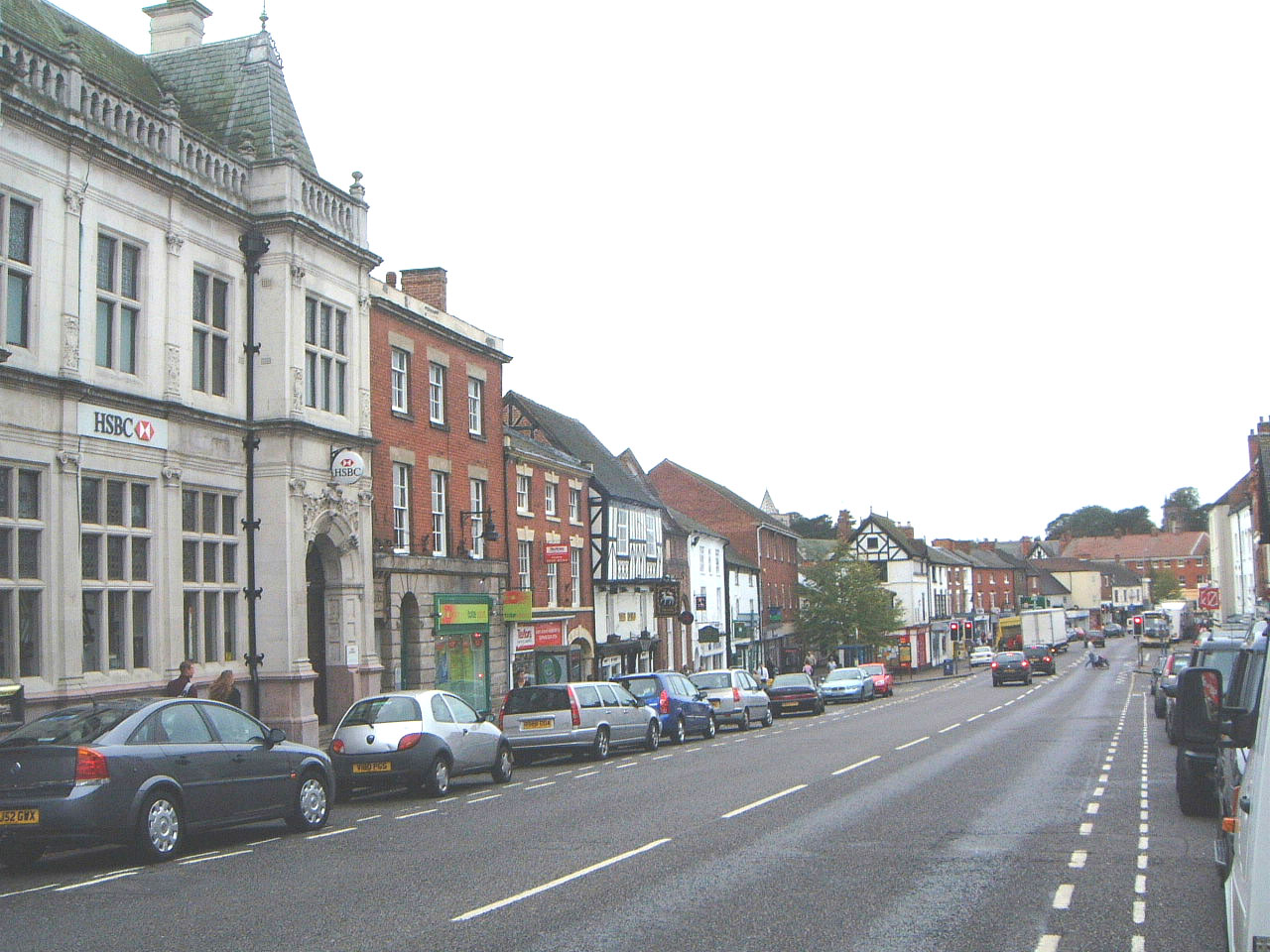


Ashby-de-la-Zouch, United Kingdom
Ashby-de-la-Zouch is a town of 12,370 people in England, United Kingdom.
Why visit Ashby-de-la-Zouch
Townapedia lists 3 museums and landmarks, 10 parks and trails, 43 places to eat and 2 places to stay in and around town.
Highlights include Ashby de la Zouch Castle, Ashby de la Zouch Museum, Saltersford Wood and Donisthorpe Woodland Park.
Weather in Ashby-de-la-Zouch
Forecast from MET Norway (CC BY 4.0). Full forecast
About Ashby-de-la-Zouch
Ashby-de-la-Zouch (), also spelled Ashby de la Zouch and commonly shortened to Ashby, is a market town and civil parish in the North West Leicestershire district of Leicestershire, England, near to the Derbyshire and Staffordshire borders. Its population at the 2021 census was 16,491. Ashby de la Zouch Castle was an important fort in the 15th to 17th centuries. During the 19th century, the town's main industry was ribbon manufacturing.
From the Wikipedia article Ashby-de-la-Zouch (this version), under CC BY-SA 4.0.
Travel tips from other travellers: Ashby-de-la-Zouch on Wikivoyage (CC BY-SA 4.0).
Photos of Ashby-de-la-Zouch

Museums and landmarks3


Ashby de la Zouch Museum
Museum
Local museum in Ashby de la Zouch, Leicestershire, United Kingdom
North Street, Ashby de la Zouch
Mo-Tu 11:00-16:00; We 11:00-13:30; Th off, Fr 11:00-16:00; Sa...

Parks, trails and playgrounds10



New Lount
Park · 2.5 mi
Nature reserve in Leicestershire county, England, United Kingdom


Restaurants and cafes43

De La Zouch
Restaurant · Bangladeshi
88 Market Street, Ashby-de-la-Zouch
Su-Th 17:30-11:00; Fr-Sa 17:30-24:00
The Shoulder of Mutton
Bar and pub
1 Market Street, Ashby-de-la-Zouch
Mo-Sa 08:00-24:00; Su 08:00-23:00
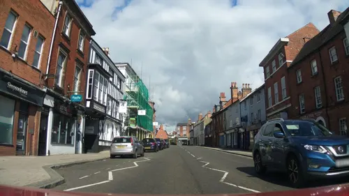
The Tap at No,76
Bar and pub
76 Market Street, Ashby-de-la-Zouch
Tu-We 16:00-23:00; Th 12:00-23:00; Fr-Sa 12:00-00:00; Su 12:00-12:00
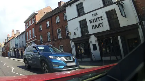
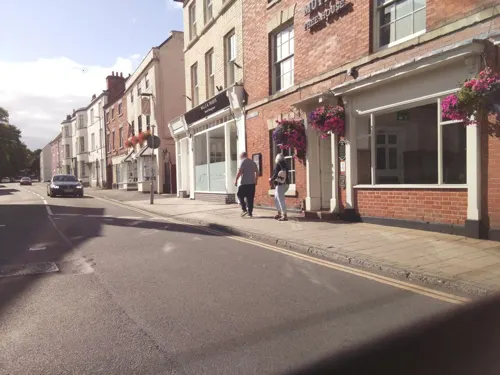
B's House - Coffee & Soft play
Cafe
2 Bath Street, Ashby-de-la-Zouch
Mo-Sa 08:00-16:30; Su 08:00-15:00
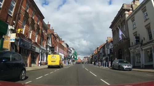
Centrivo Lounge
Bar and pub
62-64 Market Street, Ashby-de-la-Zouch
Su-Th 09:00-23:00; Fr-Sa 09:00-00:00
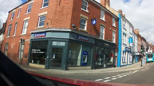
Costa
Cafe · Coffee Shop
33 Market Street, Ashby-de-la-Zouch
Mo-Fr 07:30-17:30; Sa 07:30-17:30; Su 09:00-16:00
The Bulls Head
Bar and pub
67 Market Street, Ashby-de-la-Zouch
Mo-Th 09:00-23:00, Fr 09:00-01:00, Sa 09:00-02:00, Su 12:00-23:00


La Zouch
Cafe
2 Kilwardby Street, Ashby-de-la-Zouch
Tu-We 09:00-18:00; Th-Fr 09:00-21:00; Sa 09:00-19:00; Su 11:00-16:00
31 more on the map.
Where to stay2


History
The town was known as Ashby in 1086. This is a name of Anglo-Danish origin, meaning "ash-tree farm" or "ash-tree settlement". The Norman French extension dates from the reign of Henry III, when Ashby became a possession of the La Zouche family.
Ashby de la Zouch Castle was built in the 12th century. The town and castle came into the possession of the Hastings family in 1464 and William Hastings, 1st Baron Hastings enhanced its fortifications from 1473. In the First English Civil War, the town was one of the Cavaliers' chief garrisons under the control of Colonel Henry Hastings, 1st Baron Loughborough and commander of the North Midlands Army and was where Charles I and his cavalry retreated to after the defeat at Naseby. When the town fell after a long siege in March 1646, it was counted a great relief to the surrounding towns and villages.
Read more of the history
Many of the buildings in Market Street, the town's main thoroughfare, are timber framed. Most of this structure is hidden by later brick facades. The Bull's Head public house retains its original Elizabethan half-timbering, although most of this was plastered over some years ago and can no longer be seen from the street. A short distance further down Market Street is a shop, currently occupied as a LOROS Charity Shop, which retains its original Elizabethan timbers in full street view. Regency buildings are also standing in this street. Bath Street has a row of Classical-style houses called Rawdon Terrace, dating from the time of the 1820s, when the town was a spa destination.
From the History section of Ashby-de-la-Zouch on Wikipedia, under CC BY-SA 4.0.
More about Ashby-de-la-Zouch
Arts and culture
Every May, Ashby holds an arts festival sponsored by the district council. This features local artists, musicians, songwriters, poets, performers, and story tellers. The multiple sites around the town host exhibitions, musical performances, workshops and talks, and the town centre is decorated with flags and an outdoor gallery.
Ashby Statutes, a travelling funfair, is held every September. Instituted by Royal Statute, it was originally a hiring fair, where domestic servants and farmworkers would be hired for the year. During the fair in the 21st century, Market Street, the main road through the town (the former A50 trunk road), is closed for nearly a week. The traffic is diverted along narrower roads either side of Market Street. Locals call this event "The Statutes".
Education
Ashby School, previously Ashby Grammar School, is for 11- to 18-year-olds. It was founded in 1567. The town formerly had two other endowed boys' schools founded in the 18th century.
Ivanhoe School, previously Ivanhoe College, is for 11- to 16-year-olds. It was founded in 1954. It is named after the historical novel Ivanhoe by Sir Walter Scott, which he set in the area of the castle. In Scott's novel the town hosts an important archery competition held by Prince John, in which Robin Hood competes and wins.
Manor House School was an independent day school in the centre of Ashby for boys and girls aged four to 16. The school was located between St Helen's Church and the ruins of Ashby's historic castle. Pupils travelled to the school from a wide area. However the school entered administration on 13 December 2018.
From the Wikipedia article Ashby-de-la-Zouch, under CC BY-SA 4.0.
Notable people from Ashby-de-la-Zouch
 Anne Stafford, Countess of HuntingdonEnglish noblewoman (1483-1544)Photo: Ambrosius Benson, Public domain
 James MartinBritish information technology consultant and writer (1933–2013)Photo: Neokoenig, CC BY-SA 3.0
 Henry Hastings, 3rd Earl of HuntingdonEnglish noblePhoto: Unknown author Unknown author, Public domain
 Francis Hastings, 2nd Earl of HuntingdonEnglish noblePhoto: MaratOrbel, CC BY-SA 4.0
 Tarran MackenzieBritish motorcycle racerPhoto: Neuwieser from Germany, CC BY-SA 2.0
 Henry Hastings, 5th Earl of HuntingdonEnglish noblePhoto: Wenceslaus Hollar, Public domain
- Frank Watson DysonEnglish astronomer and Astronomer Royal (1868–1939)
- Roger WilliamsonBritish racing driver (1948–1973)
- Joseph HallBritish bishop and writer (1574-1656)
- Selina Hastings, Countess of HuntingdonBritish countess (1707-1791)
- Charles Manners, 6th Duke of RutlandBritish nobleman and politician (1815–1888)
- John BainbridgeEnglish astronomer
Born in Ashby-de-la-Zouch, according to Wikidata (CC0). Each name links to its Wikipedia article.
Churches and places of worship12
Holy Trinity Church
Church · Anglican
Kilwardby Street, Ashby de la Zouch
Congregational Church
Church · Congregational
Kilwardby Street, Ashby-de-la-Zouch
Shopping8
Gas and EV charging4
Schools, colleges and libraries9
Packington Church of England Primary School
School · Anglican · 1.3 mi
Mill Street, Ashby-de-la-Zouch
Healthcare4
Map of Ashby-de-la-Zouch
95 places. The map loads OpenStreetMap tiles when you open it.
Getting there and nearby towns
East Midlands Airport (EMA) is the nearest airport with scheduled flights listed in OpenStreetMap, 8 miles away.
- Burton upon Trent 8 mi northwest, about 13 min by car
- Shepshed 8 mi east, about 13 min by car
- Derby 12 mi north, about 20 min by car
- Atherstone 12 mi south, about 20 min by car
- Chaddesden 13 mi north, about 21 min by car
- Mountsorrel 14 mi east, about 22 min by car
- Glenfield 14 mi southeast, about 22 min by car
- Hartshill 14 mi south, about 22 min by car
- Stapleford 15 mi northeast, about 23 min by car
- Leicester 16 mi southeast, about 26 min by car
Drive times are estimates from straight-line distance, not routes.
Towns near Ashby-de-la-Zouch


Keep exploring
Local news
Headlines from INDB.
Reviews, tips and questions
Loading what members have shared...
Sources and licences
- GeoNames (CC BY 4.0): population, coordinates, regions and time zone
- Mapillary (see each image): photos
- OpenStreetMap contributors (ODbL 1.0): places, airports, map data
- Wikidata (CC0 1.0): elevation, founding date, time zone, website, landmarks and historic places
- Wikimedia Commons (see each image): photos
- Wikipedia (CC BY-SA 4.0): overview and history text
Photo credits
- Marketstreet020, Jimfbleak, CC BY-SA 3.0
- Saltersford Wood 8, Dudley Miles, CC BY-SA 4.0
- Ashby de la Zouch Holy Trinity Church, Russ Hamer, CC BY-SA 3.0
- 31974970 c2951a7d29 o, Paul Dixon from Swadlincote, Derbyshire , England, CC BY-SA 2.0
- Ashby de la Zouch castle main buildings, Pahazzard, CC BY-SA 3.0
- Ashby Congregational Church, Kilwardby Street, Ashby-de-la-Zouch (NHLE Code 1073627) (July 2025) (3), User:Hassocks5489, CC0
- Manor House School in Ashby de la Zouch, Unknown author Unknown author, CC BY-SA 4.0
- 20190518ParkInfoBoard, LocalColour, CC BY-SA 4.0
- Ashby de La Zouch - panoramio (3), Tanya Dedyukhina, CC BY 3.0
- Ashby de La Zouch Queens Head - panoramio, Tanya Dedyukhina, CC BY 3.0
- Street-level photo, southglos, CC BY-SA 4.0
- Street-level photo, southglos, CC BY-SA 4.0
- Street-level photo, Stophammer, CC BY-SA 4.0
- Street-level photo, southglos, CC BY-SA 4.0
- Street-level photo, southglos, CC BY-SA 4.0
- Street-level photo, adam2, CC BY-SA 4.0
- Street-level photo, Stophammer, CC BY-SA 4.0
- Street-level photo, southglos, CC BY-SA 4.0
- Street-level photo, southglos, CC BY-SA 4.0
- Street-level photo, southglos, CC BY-SA 4.0
- Street-level photo, southglos, CC BY-SA 4.0
- Street-level photo, southglos, CC BY-SA 4.0
- Street-level photo, southglos, CC BY-SA 4.0
- Street-level photo, adam2, CC BY-SA 4.0
- Street-level photo, southglos, CC BY-SA 4.0
- Street-level photo, southglos, CC BY-SA 4.0
- Street-level photo, southglos, CC BY-SA 4.0
- Street-level photo, Stophammer, CC BY-SA 4.0
- Street-level photo, southglos, CC BY-SA 4.0
- Street-level photo, southglos, CC BY-SA 4.0
- Street-level photo, southglos, CC BY-SA 4.0
- Street-level photo, adam2, CC BY-SA 4.0

Page built November 10, 2026. Spotted a mistake? Tell us or suggest a place.