


Stapleford, United Kingdom
Stapleford is a town of 15,453 people in England, United Kingdom.
Why visit Stapleford
Townapedia lists 30 museums and landmarks, 24 parks and trails, 184 places to eat, 8 places to stay and 5 attractions in and around town.
Highlights include Harrington Bridge, New Theatre, War Memorial Cross, Beeston and War Memorial to 6 Metres South West of St Laurences's Church.
Weather in Stapleford
Forecast from MET Norway (CC BY 4.0). Full forecast
About Stapleford
Stapleford () is a town and civil parish in the Borough of Broxtowe, Nottinghamshire, England, 6 miles (9.7 km) west of Nottingham. The population of the civil parish at the 2001 census was 14,991, at the 2011 census it was 15,241, and 15,453 at the 2021 census.
From the Wikipedia article Stapleford, Nottinghamshire (this version), under CC BY-SA 4.0.
Things to do5
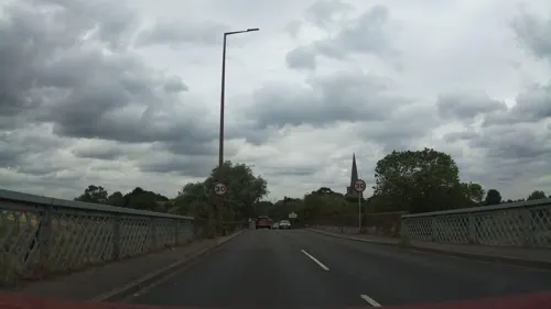
Harrington Bridge
Bridge · 3.2 mi
Grade II listed bridge in Leicestershire, England, UK
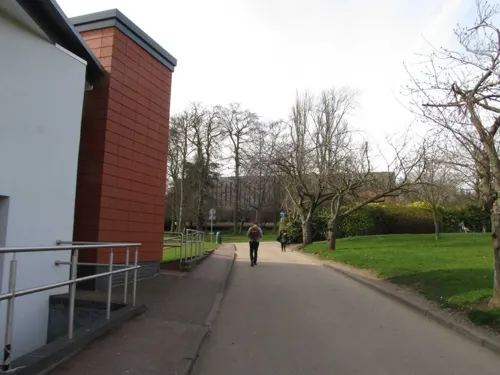
New Theatre
Cinema and theater · 3.3 mi
Theatre on University Park Campus, Nottingham, England


Museums and landmarks30
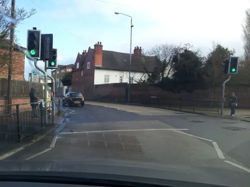
War Memorial Cross, Beeston
Monument and historic site · 2.2 mi
Grade II listed war memorial in Broxtowe, United Kingdom
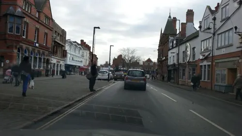
War Memorial to 6 Metres South West of St Laurences's Church
Monument and historic site · 1.3 mi
War memorial in Erewash, Derbyshire, England, UK

Wollaton Hall
Museum · 3.2 mi
Country house museum in Nottingham, England

National Shell Filling Factory Memorial
Monument and historic site · 1.0 mi
War memorial in Broxtowe, Nottinghamshire, England, UK

Nottingham Industrial Museum
Museum · 3.2 mi
Museum in the 17th century stables block of Wollaton Hall, Nottingham, England
Admiral Sir John Borlase Warren Bart GCB 1753-1822
Monument and historic site · 0.9 mi
18 more on the map.
Parks, trails and playgrounds24

Attenborough Nature Reserve
Park · 1.7 mi
Nature reserve in the United Kingdom


12 more on the map.
Restaurants and cafes184
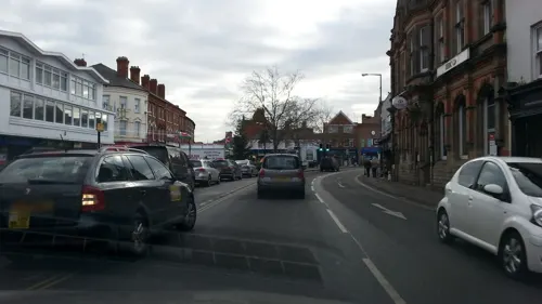

Espresso Coffee Bar
Cafe · 1.3 mi
Ranson Road, Nottingham
Mo-Su 08:30-16:00, Sa 09:00-16:00, Su 10:00-15:00
The Bird Hide micropub
Bar and pub · 1.4 mi
139 Attenborough Lane, Nottingham
We-Th 17:00-22:00; Fr 17:00-23:00; Sa 13:00-23:00; Su13:00-20:00

The Admiral Sir John Borlase Warren
Bar and pub · 0.9 mi
97 Derby Road, Nottingham
Mo,Tu,We,Th,Su 08:00-24:00; Fr,Sa 08:00-25:00


172 more on the map.
More about Stapleford
Geography
Stapleford lies on the border between Nottinghamshire and Derbyshire. To the north of Stapleford is Ilkeston and to the east is Beeston. To the west across the River Erewash is Sandiacre, and in the south is Toton.
From the Wikipedia article Stapleford, Nottinghamshire, under CC BY-SA 4.0.
Notable people from Stapleford
 Sir John Borlase Warren, 1st BaronetBritish Royal Navy officer, politician and diplomat (1753-1822)Photo: John Opie, Public domain
 Arthur MeeBritish journalist and writer (1875-1943)Photo: Unknown author Unknown author, Public domain
- Frederick AttenboroughBritish academic
- Colin WalkerEnglish footballer (Derby County, Gresley Rovers)
- Albert PaytonEnglish cricketer (1898-1967)
- Frederick Randon senior(1845-1883)
- Peter Watsonassociation football player (1934-2013)
Born in Stapleford, according to Wikidata (CC0). Each name links to its Wikipedia article.
Where to stay8
Churches and places of worship53
Shopping28
Gas and EV charging6
Schools, colleges and libraries33
English Martyrs' Catholic Voluntary Academy
School · Roman Catholic · 1.3 mi
Bracken Road, Nottingham
OneSchool Global Uk Nottingham Campus
School · Plymouth Brethren · 0.9 mi
Wellington Street, Nottingham
Healthcare14
Map of Stapleford
250 places. The map loads OpenStreetMap tiles when you open it.
Getting there and nearby towns
East Midlands Airport (EMA) is the nearest airport with scheduled flights listed in OpenStreetMap, 7 miles away.
- Nottingham 5 mi northeast, about 9 min by car
- Derby 9 mi west, about 14 min by car
- Mansfield 15 mi north, about 25 min by car
- Burton upon Trent 17 mi southwest, about 28 min by car
- Syston 18 mi southeast, about 29 min by car
- Leicester 20 mi south, about 32 min by car
- Chesterfield 24 mi north, about 38 min by car
- Staveley 24 mi north, about 39 min by car
- Uttoxeter 25 mi west, about 40 min by car
- Sheffield 33 mi north, about 54 min by car
Drive times are estimates from straight-line distance, not routes.
Towns near Stapleford


Keep exploring
Local news
Headlines from INDB.
Reviews, tips and questions
Loading what members have shared...
Sources and licences
- GeoNames (CC BY 4.0): population, coordinates, regions and time zone
- Mapillary (see each image): photos
- OpenStreetMap contributors (ODbL 1.0): places, airports, map data
- Wikidata (CC0 1.0): elevation, founding date, time zone, website, landmarks and historic places
- Wikimedia Commons (see each image): photos
- Wikipedia (CC BY-SA 4.0): overview and history text
Photo credits
- Wollaton Hall, Nottingham (1), Harry Mitchell, CC BY-SA 3.0
- Long Eaton Baptist Church, Station Street, Long Eaton (June 2025) (1), User:Hassocks5489, CC0
- St Laurence's Church, Long Eaton, from Market Place (2&3), Harry Mitchell, CC BY-SA 3.0
- White Lion, Bramcote, Jonathan Thacker, CC BY-SA 2.0
- TCView, Nelsonhoward, Public domain
- Street-level photo, adam2, CC BY-SA 4.0
- Street-level photo, adam2, CC BY-SA 4.0
- Street-level photo, Lapscle, CC BY-SA 4.0
- Street-level photo, adam2, CC BY-SA 4.0
- Street-level photo, adam2, CC BY-SA 4.0
- Street-level photo, adam2, CC BY-SA 4.0
- Street-level photo, adam2, CC BY-SA 4.0
- Street-level photo, adam2, CC BY-SA 4.0
- Street-level photo, mappo2, CC BY-SA 4.0
- Street-level photo, southglos, CC BY-SA 4.0
- Street-level photo, southglos, CC BY-SA 4.0
- Street-level photo, matth81, CC BY-SA 4.0
- Street-level photo, adam2, CC BY-SA 4.0
- Street-level photo, southglos, CC BY-SA 4.0
- Street-level photo, adam2, CC BY-SA 4.0
- Street-level photo, adam2, CC BY-SA 4.0
- Street-level photo, adam2, CC BY-SA 4.0
- Street-level photo, sk53, CC BY-SA 4.0
- Street-level photo, matth81, CC BY-SA 4.0
- Street-level photo, southglos, CC BY-SA 4.0
Page built November 10, 2026. Spotted a mistake? Tell us or suggest a place.