


Astwood Bank, United Kingdom
Astwood Bank is a town of 2,717 people in England, United Kingdom.
Why visit Astwood Bank
Townapedia lists 3 museums and landmarks, 3 parks and trails, 14 places to eat and 2 attractions in and around town.
Highlights include Palace Theatre and Coughton Court.
Weather in Astwood Bank
Forecast from MET Norway (CC BY 4.0). Full forecast
About Astwood Bank
Astwood Bank is large village situated in Worcestershire, England, a borough of the town of Redditch and close to the Warwickshire border. Historically recognised as a global centre for the needle-making industry, the village features a mix of historic Victorian architecture and modern residential developments.
From the Wikipedia article Astwood Bank (this version), under CC BY-SA 4.0.
Photos of Astwood Bank

Things to do2

Palace Theatre
Cinema and theater · 3.2 mi
Theatre in Redditch, Worcestershire, England, UK

Museums and landmarks3

Coughton Court
Museum · 2.7 mi
Grade I listed historic house museum in Stratford-on-Avon, United Kingdom

Parks, trails and playgrounds3


Restaurants and cafes14

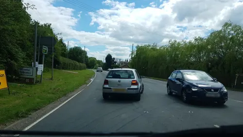
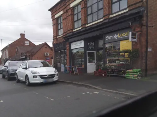
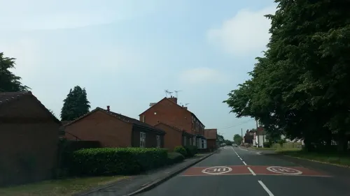
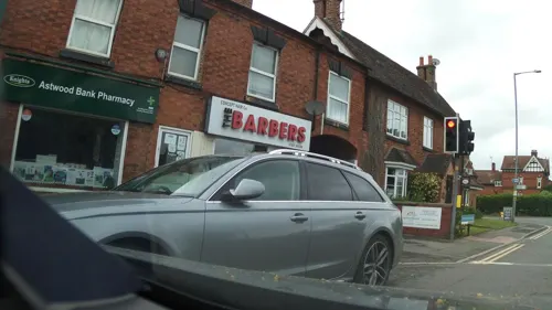


2 more on the map.
History
Residents held church services in the local school until a church was built in 1883–84. The foundation stone was laid by Lady Georgina Vernon of Hanbury Hall. The church of St. Matthias & St. George was originally designed by W. J. Hopkins as a large church with a south tower, only the east end was completed by him in 1884. The nave was added by W. Cogswell in 1911 and consecrated by Bishop Louis Mylne. The tower was never built hence the deep sloping roof.
The church was built as a chapelry of Feckenham. It became an independent parish in 1950.
A railway station called Studley & Astwood Bank railway station served the district, with service going as far north as Lichfield Trent Valley and as far south as Tewkesbury. The line was closed in 1964 so now Redditch railway station is the end of the line. The station building still exists as a domestic dwelling house and is located on the Slough, just into Green Lane, Studley, Warwickshire. It is about two miles from Astwood Bank and one mile from Studley.
From the History section of Astwood Bank on Wikipedia, under CC BY-SA 4.0.
Notable people from Astwood Bank
- Wally FreemanBritish long-distance runner (1893-1987)
Born in Astwood Bank, according to Wikidata (CC0). Each name links to its Wikipedia article.
Churches and places of worship7
Roman Catholic Church of Saint Peter Paul and Elizabeth
Church · 2.8 mi
Gas and EV charging1
Schools, colleges and libraries4
St Augustine's Catholic High School & Sixth Form Centre
School · Roman Catholic · 1.0 mi
Stonepits Lane, Redditch
Healthcare2
Knights Pharmacy - Headless Cross
Clinic and pharmacy · 1.5 mi
434 Evesham Road, Redditch
Map of Astwood Bank
36 places. The map loads OpenStreetMap tiles when you open it.
Getting there and nearby towns
Birmingham Airport (BHX) is the nearest airport with scheduled flights listed in OpenStreetMap, 16 miles away.
- Redditch 3 mi north, about 5 min by car
- Inkberrow 4 mi southwest, about 6 min by car
- Kington 5 mi southwest, about 9 min by car
- Bromsgrove 7 mi northwest, about 12 min by car
- Stoke Prior 7 mi northwest, about 11 min by car
- Henley in Arden 7 mi east, about 11 min by car
- Wychbold 8 mi west, about 13 min by car
- Wilmcote 8 mi east, about 13 min by car
- Harvington 8 mi south, about 13 min by car
- Droitwich 9 mi west, about 14 min by car
Drive times are estimates from straight-line distance, not routes.
Towns near Astwood Bank


Keep exploring
Local news
Headlines from INDB.
Reviews, tips and questions
Loading what members have shared...
Sources and licences
- GeoNames (CC BY 4.0): population, coordinates, regions and time zone
- Mapillary (see each image): photos
- OpenStreetMap contributors (ODbL 1.0): places, airports, map data
- Wikidata (CC0 1.0): elevation, founding date, time zone, website, landmarks and historic places
- Wikimedia Commons (see each image): photos
- Wikipedia (CC BY-SA 4.0): overview and history text
Photo credits
- Palace Theatre, Redditch, Elliott Brown, CC BY 2.0
- Coughton Court, Unknown author, CC BY-SA 3.0
- Spernall St Leonards 012, Argrogan, Public domain
- At Sambourne 2025 009 - Green Dragon, Photograph by Mike Peel ( www.mikepeel.net )., CC BY-SA 4.0
- Never Forgotten (15725158986), Phil Dolby, CC BY 2.0
- We Are Family (16779149606), Phil Dolby, CC BY 2.0
- Kitty (14690970570), Phil Dolby, CC BY 2.0
- Street-level photo, bigfatfrog67, CC BY-SA 4.0
- Street-level photo, southglos, CC BY-SA 4.0
- Street-level photo, southglos, CC BY-SA 4.0
- Street-level photo, southglos, CC BY-SA 4.0
- Street-level photo, southglos, CC BY-SA 4.0
- Street-level photo, southglos, CC BY-SA 4.0
- Street-level photo, adam2, CC BY-SA 4.0
- Street-level photo, richardc, CC BY-SA 4.0
- Street-level photo, southglos, CC BY-SA 4.0
- Street-level photo, southglos, CC BY-SA 4.0
- Street-level photo, southglos, CC BY-SA 4.0
Page built November 10, 2026. Spotted a mistake? Tell us or suggest a place.