


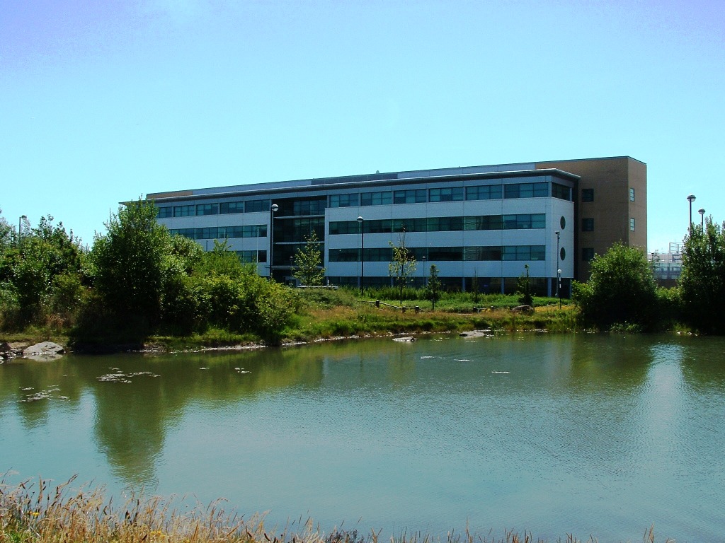

Backworth, United Kingdom
Backworth is a town of 1,399 people in England, United Kingdom.
Why visit Backworth
Townapedia lists 8 museums and landmarks, 8 parks and trails, 35 places to eat, 2 places to stay and 4 attractions in and around town.
Highlights include Spanish City, Playhouse, Whitley Bay, Stephenson Railway Museum and Cobalt Park.
Weather in Backworth
Forecast from MET Norway (CC BY 4.0). Full forecast
About Backworth
Backworth is a village in the metropolitan borough of North Tyneside in the county of Tyne and Wear, England, about 3+1⁄2 miles (6 km) west of Whitley Bay on the north east coast. It lies 5 miles (8 km) northeast of Newcastle upon Tyne. Other nearby towns include North Shields to the southeast, Wallsend to the south, and Cramlington to the northwest.
From the Wikipedia article Backworth (this version), under CC BY-SA 4.0.
Things to do4

Spanish City
Monument and historic site · 3.2 mi
Permanent funfair in Whitley Bay, a seaside town in North Tyneside, Tyne & Wear, England

Playhouse, Whitley Bay
Cinema and theater · 3.1 mi
Theatre in Whitley Bay, England


Museums and landmarks8

Stephenson Railway Museum
Museum · 2.2 mi
Railway museum in North Shields, United Kingdom

West Backworth Medieval Settlement (English Heritage Scheduled Monument)
Monument and historic site · 0.6 mi
Parks, trails and playgrounds8


Rising Sun Country Park
Park · 2.2 mi
Country park in North Tyneside, England


Restaurants and cafes35
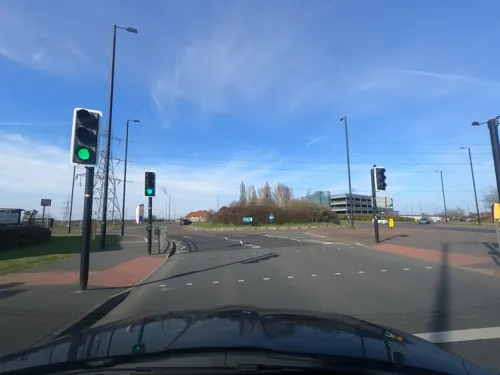
Toby Carvery
Restaurant · British · 0.8 mi
Northumberland Park Way, Newcastle upon Tyne
Mo-Su 08:00-22:00
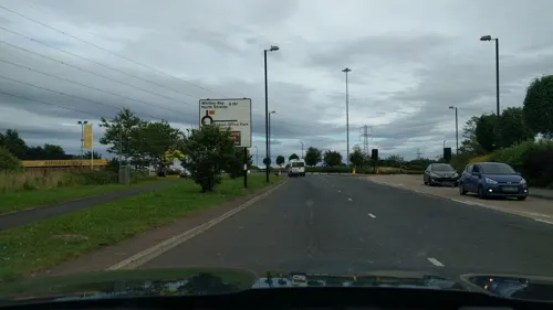
Sambuca Braise Station
Restaurant · Italian · 1.2 mi
Benton Road, Newcastle upon Tyne

Kings Arms
Bar and pub · 1.5 mi
Citadel East, Newcastle upon Tyne
Mo-Su 11:00-23:00; Fr-Sa 11:00-23:30


23 more on the map.
History
Backworth was formerly a township in the parish of Earsdon, in 1866 Backworth became a separate civil parish, on 1 April 1935 the parish was abolished to form Seaton Valley. In 1931 the parish had a population of 3154.
In an assessment-roll of 1292 Backworth is included as one of the ten manors belonging to Tynemouth Priory. "Though Preston, Monkseaton, Backworth and Flatworth do not appear in the record of 1264, corroborative evidence of their manorial character is found in their possessing halls, while Flatworth, Backworth and Monkseaton had separate demesnes...". There is insufficient information available, however, with which either to locate the manor, or to describe it. Without further documentary research it is unknown whether it was associated with farm buildings, or whether it was located near the present Backworth Hall.
It seems that there were certainly two Backworths in 1189 when King Richard I confirmed Tynemouth Priory in possession of their lands, and there is explicit mention of both East and West Backworth in 1306. The lay subsidy roll of 1296 records 4 taxpayers here. West Backworth still existed in 1353, but was deserted by the 16th century, not appearing in the Dissolution survey. Wrathmell suggests that it lost its identity in the priory's reorganisation of their estates in the 15th century.
Read more of the history
West Backworth is now a deserted medieval village. Aerial photographs show a row of crofts along each side of an east-west street, but this is not clear on the ground where there is prominent but disturbed ridge and furrow, and little trace of a two-row village plan. The site today is an open field to the south-east of West Farm, and can be found immediately to the south of Backworth Lane, and to the west of Killingworth Lane. The east-west main street is visible as a holloway heading towards East Backworth.
A hoard of gold and silver objects was found in 1812, supposedly near Backworth and, according to Haverfield, was sold to a Newcastle silversmith. He resold "all, or nearly all" to Mr. J. Brumell, a Newcastle collector, from whom most of the objects passed in 1850 to the British Museum. The hoard consisted of: a silver skillet in which were a pair of silver-gilt trumpet brooches, one silver and five gold rings, one gold bracelet, two gold chains with wheel-shaped pendant, and a crescent attached, three silver spoons, another silver skillet, 280+ Roman denarii, and two first brass coins of Antoninus Pius. A white bronze mirror had served as a cover. The date of deposition is thought likely to be A.D. 140. The larger skillet and one of the gold rings each have an inscription, a dedication to the mother-goddesses. This list does not wholly accord with Haverfield's: in particular he suggests that an oval silver dish 18 inches long and 2 pieces of a silver bridle bit never reached the British Museum.
Backworth was a centre of coal mining through the 19th century and much of the 20th century. Brickmaking took place just north of the village on the site of the former "C Pit" from the late 19th to mid-20th century. As late as 1950, 2,905 people were employed in the collieries in and immediately around Backworth.
In the early 1970s, the railway system serving Backworth Colliery was one of the few places where steam locomotives could still be seen at work, and a number of its locomotives have been preserved at various heritage railways. Footage of the locomotives (with the colliery itself in the background) taken around this time can be seen on YouTube. A lean-to on the side of the colliery's engine shed also provided a place for the fledgling preservation movement to store locomotives rescued from elsewhere.
In 1980, Backworth's last pit, Eccles Colliery, (the deepest in the Northumberland Coalfield at 1,440 ft) closed after 165 years of mining in the area. The concrete caps covering the backfilled shafts of the "A" pit, Maude and Eccles shafts can still be seen on the site of the colliery. Only the colliery's former workshops survived the demolition of the surface buildings. These back onto Station Road opposite the golf club, and are home to retail and light industrial units.
When the Metro rapid transit system replaced the British Rail passenger line through Backworth in 1980, Backworth Station had the distinction of being the only stop on the network to be closed due to lack of custom. The test track for the Metro was built at Middle Engine Lane (named after one of the stationary haulage engines used before the introduction of locomotives in the mid-19th century) on the former line from the colliery to the staithes, and is now home to the North Tyneside Steam Railway.
From the History section of Backworth on Wikipedia, under CC BY-SA 4.0.
Notable people from Backworth
- Billy BellEnglish footballer (born 1904)
- Bob HewisonEnglish footballer and manager (1889-1964)
- Bill SampyEnglish footballer (1901-1973)
- Tommy SampyEnglish footballer (1899-1978)
- Jack Ordcricketer (1907-1991)
- Ralph Doweyminer, songwriter, poet (1844–1909)
- Tom Nixonassociation football player (1931-2003)
Born in Backworth, according to Wikidata (CC0). Each name links to its Wikipedia article.
Where to stay2
Churches and places of worship9
Shopping7
Gas and EV charging1
Schools, colleges and libraries9
Healthcare5
Map of Backworth
88 places. The map loads OpenStreetMap tiles when you open it.
Getting there and nearby towns
Newcastle International Airport (NCL) is the nearest airport with scheduled flights listed in OpenStreetMap, 7 miles away.
- Whitley Bay 3 mi east, about 5 min by car
- Wallsend 4 mi south, about 6 min by car
- North Shields 4 mi southeast, about 6 min by car
- Cramlington 4 mi northwest, about 6 min by car
- Tynemouth 4 mi southeast, about 7 min by car
- South Shields 5 mi southeast, about 8 min by car
- Jarrow 5 mi south, about 7 min by car
- Gosforth 5 mi southwest, about 7 min by car
- Hebburn 5 mi south, about 8 min by car
- Newcastle upon Tyne 6 mi southwest, about 9 min by car
Drive times are estimates from straight-line distance, not routes.
Towns near Backworth


Keep exploring
Local news
Headlines from INDB.
Reviews, tips and questions
Loading what members have shared...
Sources and licences
- GeoNames (CC BY 4.0): population, coordinates, regions and time zone
- Mapillary (see each image): photos
- OpenStreetMap contributors (ODbL 1.0): places, airports, map data
- Wikidata (CC0 1.0): elevation, founding date, time zone, website, landmarks and historic places
- Wikimedia Commons (see each image): photos
- Wikipedia (CC BY-SA 4.0): overview and history text
Photo credits
- Backworth Miners’ Welfare Hall grounds from the front door, AlixChaytor, CC BY-SA 4.0
- Backworth Miners’ Welfare Hall, AlixChaytor, CC BY-SA 4.0
- Spanish City, Whitley Bay, September 2010, Original author was Adam G. Bell, CC BY 3.0
- E4 in the Stephenson Railway Museum, Robby George, CC0
- P&GCobalt, Andy Connolly, Public domain
- St Peter's Church, Wallsend, CramptonHodnet, CC BY-SA 4.0
- Church of St Bartholomew in Benton, AlixChaytor, CC BY-SA 4.0
- Street-level photo, floatingboater, CC BY-SA 4.0
- Street-level photo, floatingboater, CC BY-SA 4.0
- Street-level photo, floatingboater, CC BY-SA 4.0
- Street-level photo, floatingboater, CC BY-SA 4.0
- Street-level photo, floatingboater, CC BY-SA 4.0
- Street-level photo, floatingboater, CC BY-SA 4.0
- Street-level photo, floatingboater, CC BY-SA 4.0
- Street-level photo, floatingboater, CC BY-SA 4.0
- Street-level photo, floatingboater, CC BY-SA 4.0
- Street-level photo, floatingboater, CC BY-SA 4.0
- Street-level photo, floatingboater, CC BY-SA 4.0
- Street-level photo, floatingboater, CC BY-SA 4.0
- Street-level photo, floatingboater, CC BY-SA 4.0

Page built November 10, 2026. Spotted a mistake? Tell us or suggest a place.