


Barlaston, United Kingdom
Barlaston is a town of 1,979 people in England, United Kingdom.
Why visit Barlaston
Townapedia lists 9 museums and landmarks, 11 parks and trails, 10 places to eat, 1 place to stay and 5 attractions in and around town.
Highlights include Trentham Monkey Forest, Trentham Mausoleum, V&A Wedgwood Collection and Stone Meadows.
Weather in Barlaston
Forecast from MET Norway (CC BY 4.0). Full forecast
About Barlaston
Barlaston is a village and civil parish in Staffordshire, England, halfway between Stoke-on-Trent and Stone. At the 2011 census, the population was 2,858.
From the Wikipedia article Barlaston (this version), under CC BY-SA 4.0.
Things to do5


Museums and landmarks9
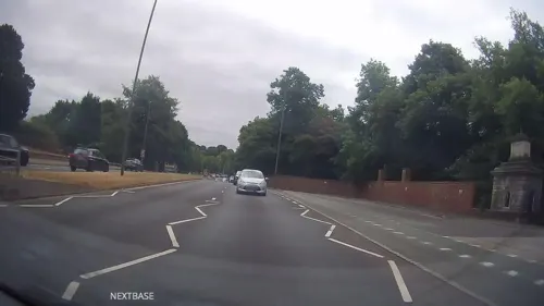
Trentham Mausoleum
Monument and historic site · 2.1 mi
Grade I listed mausoleum in Trentham, Stoke-on-Trent, Staffordshire, England, UK



Parks, trails and playgrounds11

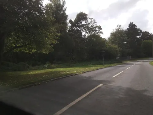

Barlaston and Rough Close Common
Park · 2.4 mi
Nature reserve in Staffordshire, UK



Restaurants and cafes10




History
The old parish church of Saint John is sited on the edge of the Wedgwood estate. It was built to the design of Charles Lynam in 1886-8, retaining the west tower from the original medieval building, with the subsequent addition of a vestry in 1969. In 1981 the Grade II listed building had to be closed owing to mining subsidence and a temporary building next to the church took its place until the new church was built on Green Lane.
Barlaston Hall c. 1756 by Sir Robert Taylor (architect) was at one time a Wedgwood family home.
The Grade I listed Hall has been restored after damage from subsidence.
From the History section of Barlaston on Wikipedia, under CC BY-SA 4.0.
More about Barlaston
Education
The Wedgwood Memorial College in Barlaston is a Workers' Educational Association residential college, and also serves as the headquarters of the Esperanto Association of Britain.
From the Wikipedia article Barlaston, under CC BY-SA 4.0.
Notable people from Barlaston
- Josiah Wedgwood, Baron WedgwoodBritish politician (1872-1943)
- Star WedgwoodBritish ceramicist
- Edward ProctorFootballer (1870-1944)
Born in Barlaston, according to Wikidata (CC0). Each name links to its Wikipedia article.
Where to stay1
Churches and places of worship4
Shopping5
Schools, colleges and libraries2
Healthcare1
Miller's Pharmaceutical Chemist
Clinic and pharmacy
8 Orchard Place, Stoke-on-Trent
Map of Barlaston
48 places. The map loads OpenStreetMap tiles when you open it.
Getting there and nearby towns
Manchester Airport (MAN) is the nearest airport with scheduled flights listed in OpenStreetMap, 29 miles away.
- Stone 3 mi south, about 4 min by car
- Longton 3 mi northeast, about 5 min by car
- Stoke-on-Trent 4 mi north, about 7 min by car
- Newcastle under Lyme 5 mi northwest, about 8 min by car
- Cheadle 8 mi east, about 13 min by car
- Stafford 10 mi south, about 16 min by car
- Kidsgrove 10 mi north, about 17 min by car
- Betley 10 mi northwest, about 17 min by car
- Biddulph 12 mi north, about 19 min by car
- Alsager 12 mi northwest, about 19 min by car
Drive times are estimates from straight-line distance, not routes.
Towns near Barlaston


Keep exploring
Local news
Headlines from INDB.
Reviews, tips and questions
Loading what members have shared...
Sources and licences
- GeoNames (CC BY 4.0): population, coordinates, regions and time zone
- Mapillary (see each image): photos
- OpenStreetMap contributors (ODbL 1.0): places, airports, map data
- Wikidata (CC0 1.0): elevation, founding date, time zone, website, landmarks and historic places
- Wikimedia Commons (see each image): photos
- Wikipedia (CC BY-SA 4.0): overview and history text
Photo credits
- Barlaston Hall, Peter I. Vardy, Public domain
- Barlaston railway station 1, Anne Pollitt, CC BY-SA 2.0
- The Plume of Feathers in Barlaston, Computerbar, CC BY-SA 4.0
- Crown Meadow, Staffordshire 2, AtticTapestry, CC BY-SA 4.0
- Duke of Sutherland Monument, Trentham Gardens, Colin Park, CC BY-SA 2.0
- Street-level photo, swinetown, CC BY-SA 4.0
- Street-level photo, southglos, CC BY-SA 4.0
- Street-level photo, southglos, CC BY-SA 4.0
- Street-level photo, mfk, CC BY-SA 4.0
- Street-level photo, southglos, CC BY-SA 4.0
- Street-level photo, southglos, CC BY-SA 4.0
Page built November 10, 2026. Spotted a mistake? Tell us or suggest a place.