


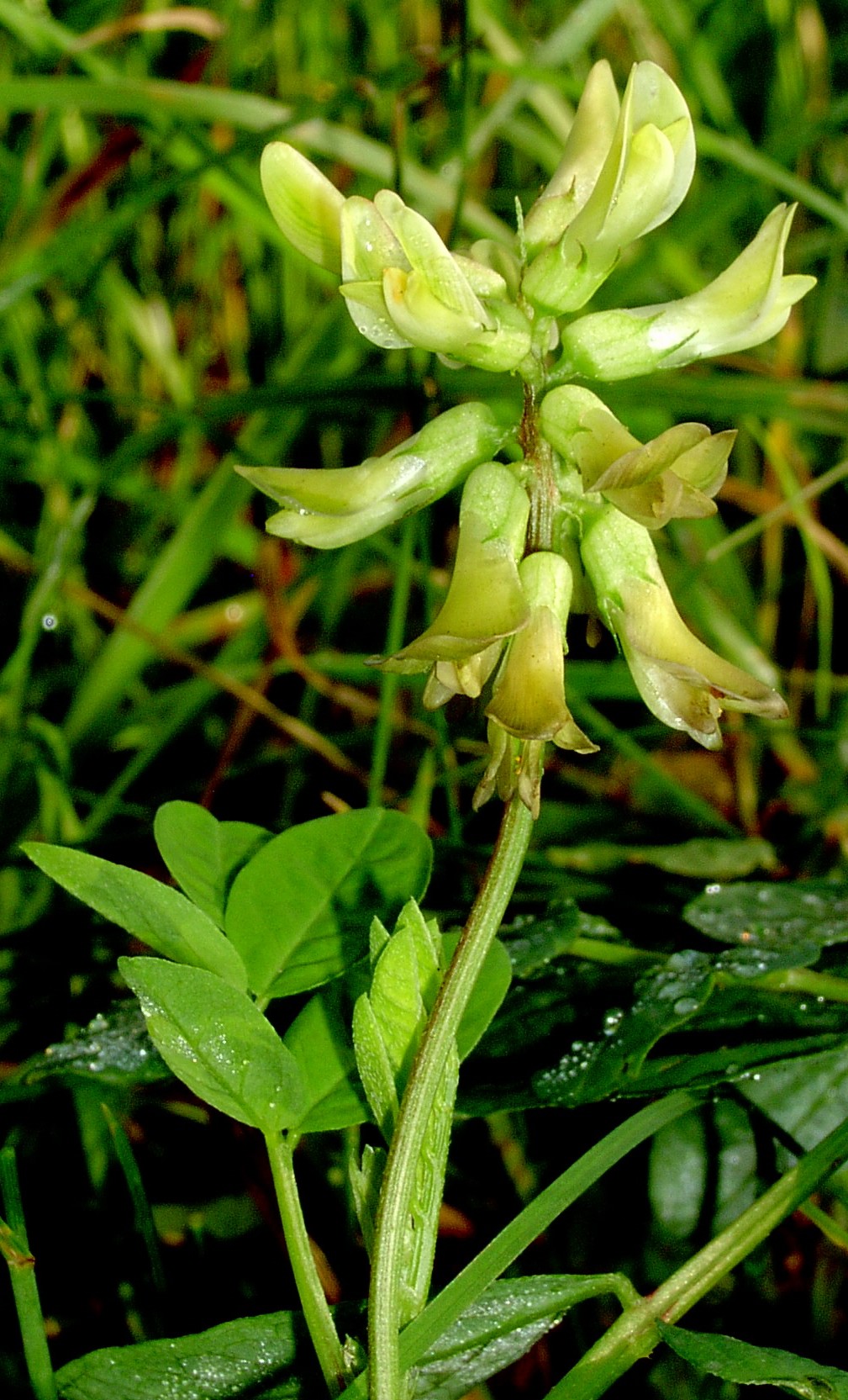


Why visit Bredon
Townapedia lists 3 museums and landmarks, 11 parks and trails, 20 places to eat, 5 places to stay and 5 attractions in and around town.
Highlights include Eckington Bridge, Mythe Bridge, Tewkesbury Museum and Mythe Railway Nature Reserve.
Weather in Bredon
Forecast from MET Norway (CC BY 4.0). Full forecast
About Bredon
Bredon is a village and civil parish in Wychavon district at the southern edge of Worcestershire in England. It lies on the banks of the River Avon on the lower slopes of Bredon Hill.
From the Wikipedia article Bredon (this version), under CC BY-SA 4.0.
Things to do5

Eckington Bridge
Bridge · 3.4 mi
Bridge in Wychavon, Worcestershire, England, UK

Mythe Bridge
Bridge · 2.8 mi
Bridge in Mythe, Tewkesbury, Gloucestershire, England, UK

Roses Theatre
Cinema and theater · 2.9 mi
Arts centre in Tewkesbury, Gloucestershire, England

Ridgeway Bank Farm Shop and Plant Centre
Farm and orchard · 0.8 mi
Eckington Road, Tewkesbury
Museums and landmarks3
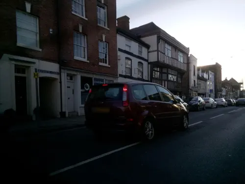
Tewkesbury Museum
Museum · 3.1 mi
Local museum in Tewkesbury, Gloucestershire, England

Parks, trails and playgrounds11


Beckford Nature Reserve
Park · 3.4 mi
Nature reserve in Worcestershire, UK




Restaurants and cafes20
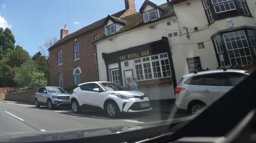


The Northway
Bar and pub · 1.7 mi
Northway Lane, Tewkesbury
Mo-Th,Su 11:00-23:00; Fr-Sa 11:00-02:00

Pizzariffic
Fast food · Pizza, Burger, Sandwich, Kebab · 1.8 mi
Northway Lane, Tewkesbury
Mo-Th 11:00-21:00; Fr-Sa 11:00-23:00
8 more on the map.
History
Bredon's history of farming and settlement goes back at least four thousand years. Archaeological remains establish that parts of the parish were settled early in the Bronze Age (2500–800 BC). There are numerous Iron Age (800 BC–100 AD) remains, some of which would have related to Kemerton Camp, a large univallate hillfort at the summit of Bredon Hill. The parish is also rich in remains from the Britto-Roman Period (43–410 AD), revealing a continuing history of settlement and farming.
Modern Bredon has its roots in the Anglo-Saxon period (c.500–1066), when in c.716 Æthelbald, King of Mercia, gave land to his kinsman Eanwulf the grandfather of Offa to found a monastery. For some time, the manor of Bredon continued under an abbot of its own, but by 844 it had become the property of the Bishop of Worcester. It remained part of the Worcester monastic estate until the Reformation.
From the Norman Conquest (1066) to the end of the Late Medieval Period (1500), the parish was governed under the feudal system. The manor was held by the Bishop of Worcester, who maintained a summer residence, park and fisheries on the site of the first monastery, and the medieval village developed around these church buildings. Following the Reformation in the 16th century, the manor passed to the Crown.
Read more of the history
In 1718, wealthy resident William Hancock founded Bredon Hancock's Endowed Church of England First School.
Bredon's Act of Inclosure was passed in 1811, and among those gaining large consolidated holdings were the lord of the manor, Rev. Richard Darke, and the rector, Rev. John Keysall.
The Birmingham and Gloucester Railway, one of the world's oldest main line railways, was constructed during the 1830s and 1840s through the village, with Bredon railway station opening in 1841. This remained in operation until 1965, when it was closed under the Beeching Axe. The station is currently closed on the Cross Country Route.
In February 1971, a new section of the M5 motorway was opened, cutting through the parish to the west of the village.
From the History section of Bredon on Wikipedia, under CC BY-SA 4.0.
Where to stay5
Churches and places of worship12
Shopping3
Gas and EV charging1
Schools, colleges and libraries6
Healthcare1
Map of Bredon
67 places. The map loads OpenStreetMap tiles when you open it.
Getting there and nearby towns
Gloucestershire Airport (GLO) is the nearest airport with scheduled flights listed in OpenStreetMap, 10 miles away.
- Eckington 3 mi north, about 4 min by car
- Tewkesbury 3 mi southwest, about 5 min by car
- Upton upon Severn 5 mi northwest, about 8 min by car
- Bishops Cleeve 6 mi south, about 10 min by car
- Evesham 8 mi northeast, about 13 min by car
- Cheltenham 9 mi south, about 15 min by car
- Great Malvern 10 mi northwest, about 17 min by car
- Charlton Kings 11 mi south, about 17 min by car
- Churchdown 11 mi south, about 17 min by car
- Worcester 12 mi north, about 19 min by car
Drive times are estimates from straight-line distance, not routes.
Towns near Bredon


Keep exploring
Local news
Headlines from INDB.
Reviews, tips and questions
Loading what members have shared...
Sources and licences
- GeoNames (CC BY 4.0): population, coordinates, regions and time zone
- Mapillary (see each image): photos
- OpenStreetMap contributors (ODbL 1.0): places, airports, map data
- Wikidata (CC0 1.0): elevation, founding date, time zone, website, landmarks and historic places
- Wikimedia Commons (see each image): photos
- Wikipedia (CC BY-SA 4.0): overview and history text
Photo credits
- Bredon-milestone, Robert Whittaker, CC BY 3.0
- Tewkesbury Bridge, F Mansell, Public domain
- Astragalus glycyphyllos kz, Krzysztof Ziarnek, CC BY-SA 3.0
- Tewkesbury Abbey 2011, Saffron Blaze, CC BY-SA 3.0
- St. Mary Magdalene, Twyning (14459012210), Hugh Llewelyn from Keynsham, UK, CC BY-SA 2.0
- Eckington Bridge from the north east 2, Rodw, CC BY-SA 3.0
- Street-level photo, southglos, CC BY-SA 4.0
- Street-level photo, southglos, CC BY-SA 4.0
- Street-level photo, southglos, CC BY-SA 4.0
- Street-level photo, southglos, CC BY-SA 4.0
- Street-level photo, southglos, CC BY-SA 4.0
- Street-level photo, adam2, CC BY-SA 4.0
- Street-level photo, RyanBush, CC BY-SA 4.0
- Street-level photo, southglos, CC BY-SA 4.0
- Street-level photo, southglos, CC BY-SA 4.0
Page built November 10, 2026. Spotted a mistake? Tell us or suggest a place.