


Why visit Pyle
Townapedia lists 3 museums and landmarks, 5 parks and trails, 8 places to eat, 4 places to stay and 4 attractions in and around town.
Highlights include Coney Beach Pleasure Park, Grand Pavilion, Porthcawl, Kenfig Castle and Margam Country Park.
Weather in Pyle
Forecast from MET Norway (CC BY 4.0). Full forecast
About Pyle
Pyle (Welsh: Y Pîl) is a village and community (and electoral ward) in Bridgend county borough, Wales. This large village is served by the A48 road, and lies less than one mile from Junction 37 of the M4 motorway, and is therefore only a half-hour journey from the capital city of Wales, Cardiff. The nearest town is the seaside resort of Porthcawl. Within the Community, to the northeast of Pyle, is the adjoining settlement of Kenfig Hill, North Cornelly also adjoins Pyle and the built-up area had a population of 13,701 in 2011.
From the Wikipedia article Pyle (this version), under CC BY-SA 4.0.
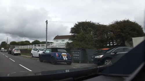
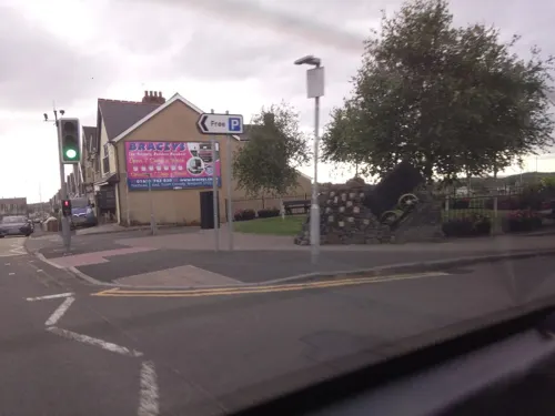
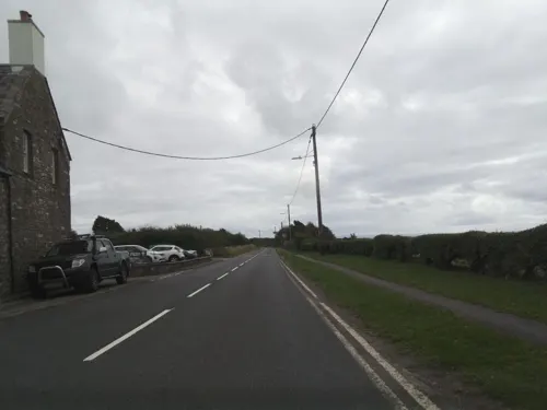
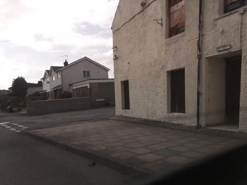
Photos of Pyle

Things to do4

Coney Beach Pleasure Park
Monument and historic site · 2.6 mi
Amusement park in Mid Glamorgan, Wales

Grand Pavilion, Porthcawl
Cinema and theater · 2.8 mi
Theatre and music venue in Porthcawl, Wales

Porthcawl Lighthouse
Lighthouse · 3.0 mi
Lighthouse in Bridgend County Borough, Wales

Museums and landmarks3

Kenfig Castle
Monument and historic site · 1.5 mi
Ruins of castle in Wales, UK
Parks, trails and playgrounds5




Restaurants and cafes8
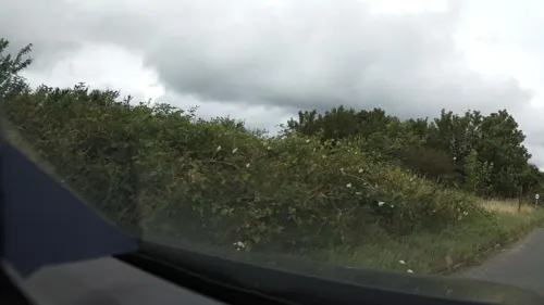
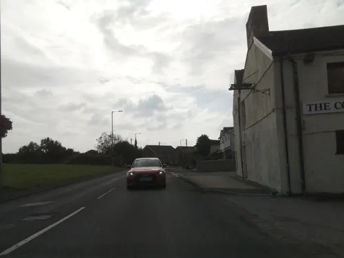
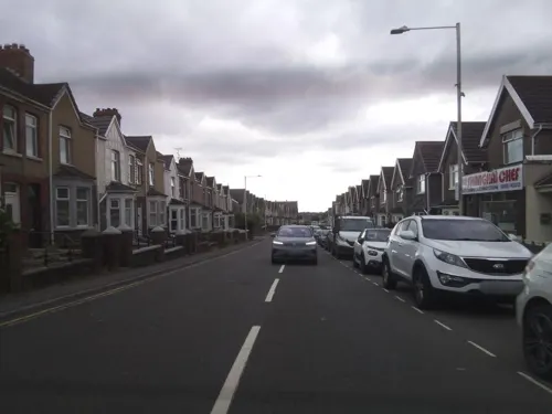



Kenfig Hill Labour Club
Bar and pub · 1.5 mi
15 Prince Road, Bridgend
Mo-Tu 16:00-00:00; We 14:00-00:00; Th 16:00-00:00; Fr-Sa...
Notable people from Pyle
 Garnon DaviesBritish actorPhoto: Ian Smith, CC BY-SA 2.0
- Clive ShellWelsh rugby union player (1947-2012)
- David Morgan JenkinsWelsh rugby union and rugby league footballer
- Brian Bluckgeologist (1935-2015)
Born in Pyle, according to Wikidata (CC0). Each name links to its Wikipedia article.
Where to stay4
Churches and places of worship11
Shopping1
Gas and EV charging2
Schools, colleges and libraries7
Map of Pyle
45 places. The map loads OpenStreetMap tiles when you open it.
Getting there and nearby towns
Swansea Airport (SWS) is the nearest airport with scheduled flights listed in OpenStreetMap, 17 miles away.
- Swansea 13 mi northwest, about 20 min by car
- Rhondda 15 mi northeast, about 23 min by car
- Ystalyfera 18 mi north, about 28 min by car
- Treharris 20 mi northeast, about 32 min by car
- Whitchurch 21 mi east, about 33 min by car
- Cardiff 23 mi east, about 36 min by car
- Minehead 24 mi southeast, about 38 min by car
- Risca 26 mi east, about 43 min by car
- Tredegar 26 mi northeast, about 42 min by car
- Newport 31 mi east, about 49 min by car
Drive times are estimates from straight-line distance, not routes.
Towns near Pyle


Keep exploring
Local news
Headlines from INDB.
Reviews, tips and questions
Loading what members have shared...
Sources and licences
- GeoNames (CC BY 4.0): population, coordinates, regions and time zone
- Mapillary (see each image): photos
- OpenStreetMap contributors (ODbL 1.0): places, airports, map data
- Wikidata (CC0 1.0): elevation, founding date, time zone, website, landmarks and historic places
- Wikimedia Commons (see each image): photos
- Wikipedia (CC BY-SA 4.0): overview and history text
Photo credits
- Coneybeach, WillMcC at English Wikipedia, CC BY-SA 3.0
- GrandPavilion, Photographed by Mark Phillips Summer 2004, CC BY-SA 3.0
- Porthcawlwave2013, Ben Salter from Wales, CC BY 2.0
- Margam Park - Orangery Gardens, FruitMonkey, CC BY-SA 3.0
- Church of St Mary Magdalen, Pyle with Kenfig 1, FruitMonkey, CC BY-SA 3.0
- Heol Y Cwrt court road Cynffig - panoramio, cowbridgeguide.co.uk, CC BY 3.0
- THE NEW HOUSE INN - panoramio, cowbridgeguide.co.uk, CC BY 3.0
- Kenfig Castle ruins, Mick Lobb, CC BY-SA 2.0
- Street-level photo, southglos, CC BY-SA 4.0
- Street-level photo, southglos, CC BY-SA 4.0
- Street-level photo, southglos, CC BY-SA 4.0
- Street-level photo, southglos, CC BY-SA 4.0
- Street-level photo, southglos, CC BY-SA 4.0
- Street-level photo, southglos, CC BY-SA 4.0
- Street-level photo, southglos, CC BY-SA 4.0
- Street-level photo, southglos, CC BY-SA 4.0
- Street-level photo, southglos, CC BY-SA 4.0
- Street-level photo, southglos, CC BY-SA 4.0
Page built November 10, 2026. Spotted a mistake? Tell us or suggest a place.